Southey Moor

Downs, Moorland in Devon Somerset West and Taunton

England

Southey Moor

Churchstanton: Rainbow Lane Near its junction with Broad Street on the Blackdowns. The lane or track runs to Biscombe. Looking north-north-west
Churchstanton: Rainbow Lane Credit: Martin Bodman

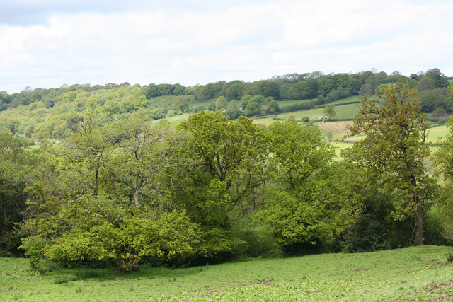
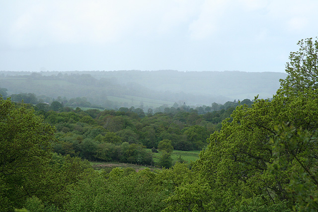
Southey Moor is a picturesque area located in the county of Devon, in the southwest of England. Situated amidst the rolling hills and lush green valleys of the region, it is known for its stunning natural beauty and tranquil atmosphere.

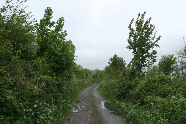
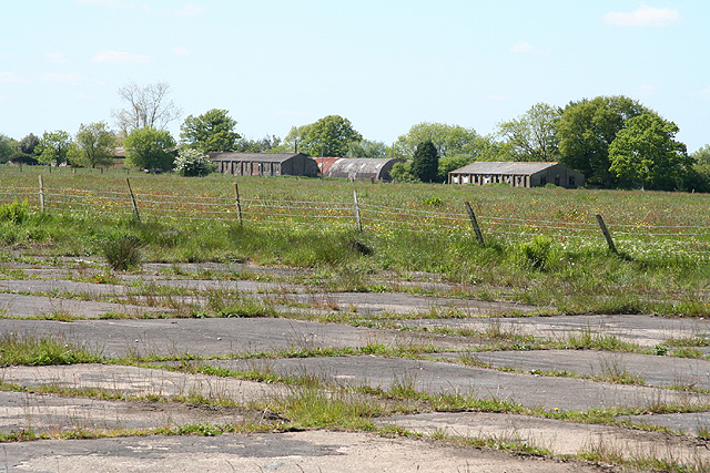
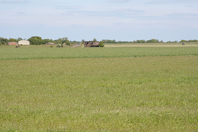
Covering an extensive area of moorland, Southey Moor is characterized by its vast expanses of open grassland, interspersed with patches of heather and gorse. The moorland is home to a diverse range of flora and fauna, including various species of wildflowers, birds, and small mammals. It is also known for its unique geological features, such as granite tors, which dot the landscape and provide breathtaking views.

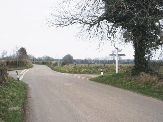
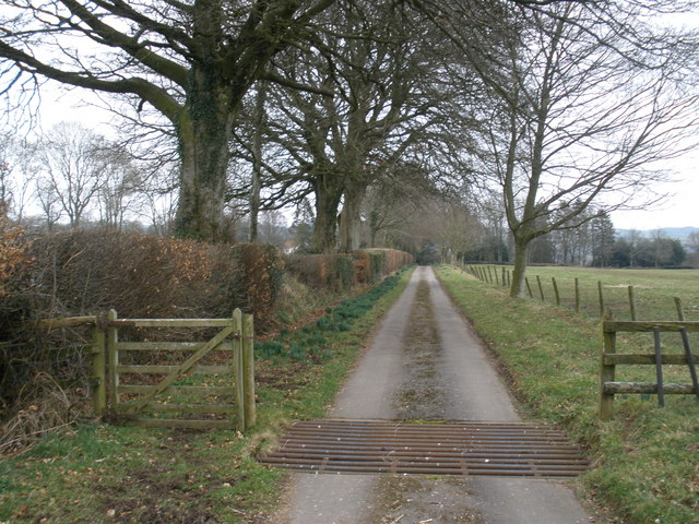
The moor offers a wide range of recreational activities for visitors to enjoy. Hiking and walking are particularly popular, thanks to the numerous well-marked trails that crisscross the area. These trails lead visitors through the stunning scenery, allowing them to explore hidden valleys, ancient woodlands, and bubbling streams.

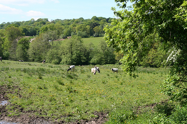
Southey Moor is also a haven for wildlife enthusiasts, as it provides a habitat for several rare and protected species. Birdwatchers can spot a variety of birds, including buzzards, kestrels, and skylarks, while nature lovers may catch a glimpse of elusive creatures such as adders and otters.

The moorland is easily accessible, with ample parking and facilities available for visitors. With its unspoiled beauty and peaceful atmosphere, Southey Moor offers a welcome retreat from the hustle and bustle of everyday life, allowing visitors to immerse themselves in the wonders of nature.

If you have any feedback on the listing, please let us know in the comments section below.
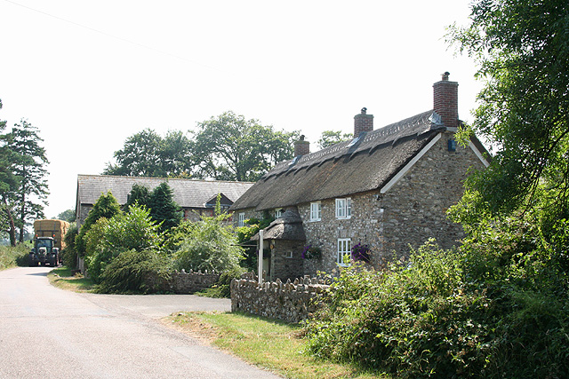
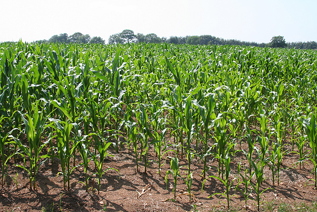
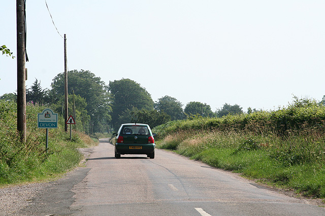
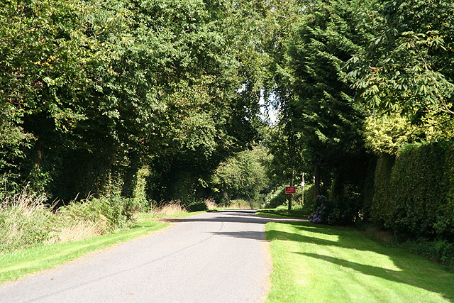
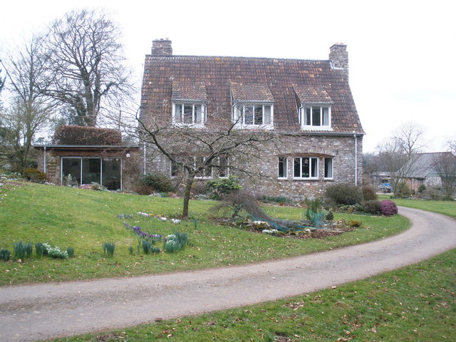
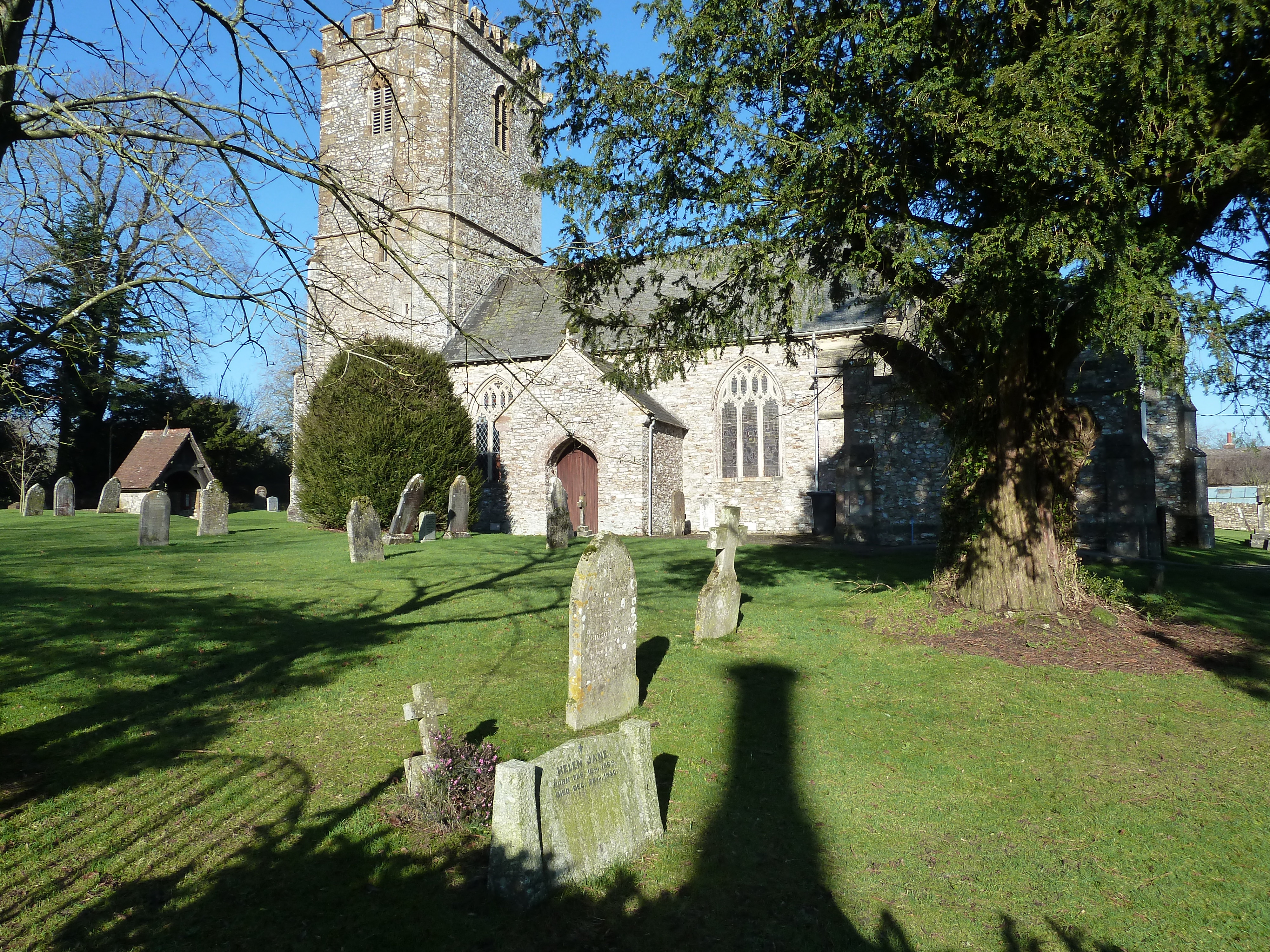
Southey Moor Images

Images are sourced within 2km of 50.895184/-3.1519112 or Grid Reference ST1911. Thanks to Geograph Open Source API. All images are credited.

Churchstanton: Rainbow Lane Near its junction with Broad Street on the Blackdowns. The lane or track runs to Biscombe. Looking north-north-west
Churchstanton: Rainbow Lane
Near its junction with Broad Street on the Blackdowns. The lane or track runs to Biscombe. Looking north-north-west
Churchstanton: Kedget Barton In the fork between roads to Hemyock and to Willand, Churchstanton, Looking north west
Churchstanton: Kedget Barton
In the fork between roads to Hemyock and to Willand, Churchstanton, Looking north west
Clayhidon: the Bolham valley Seen from a point near Middleton Barton. Looking north
Clayhidon: the Bolham valley
Seen from a point near Middleton Barton. Looking north
Churchstanton: overlooking the Bolham valley Looking south west with rain falling on the far hill
Churchstanton: overlooking the Bolham valley
Looking south west with rain falling on the far hill
Upottery: Smeatharpe airfield Looking north across the end of the old runway which runs roughly west-south-west – east-north-east. In the distance are nissen huts and other buildings dating from the 1940s when the airfield was constructed
Upottery: Smeatharpe airfield
Looking north across the end of the old runway which runs roughly west-south-west – east-north-east. In the distance are nissen huts and other buildings dating from the 1940s when the airfield was constructed
Upottery: Highlands farm shop Signs by the Taunton-Honiton road at Smeatharpe
Upottery: Highlands farm shop
Signs by the Taunton-Honiton road at Smeatharpe
Clayhidon: Smeatharpe airfield Looking east-north-east to the derelict control tower which dates from 1943 when the airfield was constructed. The American 101st Airborne flew from here to Normandy on D-Day
Clayhidon: Smeatharpe airfield
Looking east-north-east to the derelict control tower which dates from 1943 when the airfield was constructed. The American 101st Airborne flew from here to Normandy on D-Day
Clayhidon: near Hartsmoor Bridge Field by the Bolham Water. Looking north west
Clayhidon: near Hartsmoor Bridge
Field by the Bolham Water. Looking north west
Upottery: Lambpark Farmhouse A datestone by the porch, partially obscured by thatch, indicates that this building was erected in 1795 or 1796. All the buildings here are now residential: the farming function has ceased
Upottery: Lambpark Farmhouse
A datestone by the porch, partially obscured by thatch, indicates that this building was erected in 1795 or 1796. All the buildings here are now residential: the farming function has ceased
Upottery: new crop Looking south west across a field near Lambpark
Upottery: new crop
Looking south west across a field near Lambpark
Churchstanton: the Honiton road Approaching the Devon border; looking south-south-west south of Churchingford
Churchstanton: the Honiton road
Approaching the Devon border; looking south-south-west south of Churchingford
Churchstanton: towards Buttle’s Cross Looking east-north-east to a junction with the Honiton to Smeatharpe and Taunton road
Churchstanton: towards Buttle’s Cross
Looking east-north-east to a junction with the Honiton to Smeatharpe and Taunton road
Control tower at Upottery airfield near Smeatharpe Sixty years since it was last used for its intended purpose, the control tower stands derelict, but is now utilised as a barn to store hay and straw.
Control tower at Upottery airfield near Smeatharpe
Sixty years since it was last used for its intended purpose, the control tower stands derelict, but is now utilised as a barn to store hay and straw.
NW/SE runway at Upottery airfield Taken from the intersection with Upottery airfield's main E/W (09/27) runway, this view is looking NW along the 15/33 runway, which has been cleared of weeds and is occasionally used for various activities, including microlight flying and motor events.
NW/SE runway at Upottery airfield
Taken from the intersection with Upottery airfield's main E/W (09/27) runway, this view is looking NW along the 15/33 runway, which has been cleared of weeds and is occasionally used for various activities, including microlight flying and motor events.
C-47 Skytrain (Dakota) at Upottery airfield A Douglas C-47 Skytrain (Dakota), one of 82 that operated from this airfield during D-Night 5/6th June 1944, stands towards the western end of the usable section of the main runway at Upottery 63 years after it was based here. It had been flown in for an air and fun day organised by the South West Airfields Heritage Trust. A re-enactment group was on hand to replicate a scene from the film the 'Band of Brothers'. Some of the Group's members stand in front of the aircraft, which is painted in its original 1944 markings of 92nd TCS, 439th TCG, complete with D-Day stripes.
C-47 Skytrain (Dakota) at Upottery airfield
A Douglas C-47 Skytrain (Dakota), one of 82 that operated from this airfield during D-Night 5/6th June 1944, stands towards the western end of the usable section of the main runway at Upottery 63 years after it was based here. It had been flown in for an air and fun day organised by the South West Airfields Heritage Trust. A re-enactment group was on hand to replicate a scene from the film the 'Band of Brothers'. Some of the Group's members stand in front of the aircraft, which is painted in its original 1944 markings of 92nd TCS, 439th TCG, complete with D-Day stripes.
Holemore Cross
Holemore Cross
Drive, to Higher Luxton Farm
Higher Luxton Farm
Higher Luxton Farm
Show me another place!

Southey Moor is located at Grid Ref: ST1911 (Lat: 50.895184, Lng: -3.1519112)

Administrative County: Somerset

District: Somerset West and Taunton

Police Authority: Avon and Somerset

What 3 Words

///typically.outlined.mermaids. Near Hemyock, Devon

Nearby Locations

Southey Moor

Related Wikis

Southey and Gotleigh Moors

Southey and Gotleigh Moors (grid reference ST192110) is an 81.3 hectare (200.1 acre) biological Site of Special Scientific Interest on the Blackdown Hills...
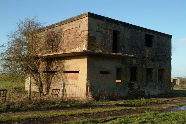
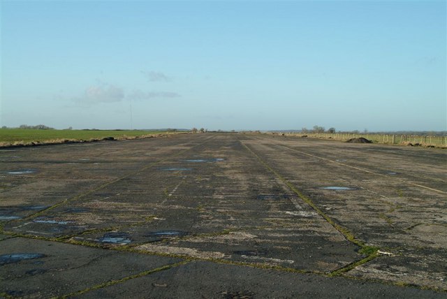
RAF Upottery

RAF Upottery (also known as Smeatharpe) is a former Royal Air Force station in East Devon, England. The airfield is located near the village of Upottery...

Churchstanton

Churchstanton is a village and civil parish in Somerset, England, situated within the Blackdown Hills Area of Outstanding Natural Beauty, on the River...

Upottery

Upottery (originally Up Ottery) is a rural village, civil parish and former manor in East Devon, England. == Location == Upottery takes up both sides of...

Nearby Amenities

Located within 500m of 50.895184,-3.1519112
The data included in this document is from www.openstreetmap.org. The data is made available under ODbL.

Have you been to Southey Moor?

Leave your review of Southey Moor below (or comments, questions and feedback).