Appletree Brae
Downs, Moorland in Peeblesshire
Scotland
Appletree Brae
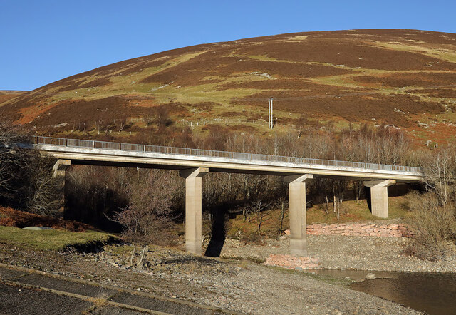
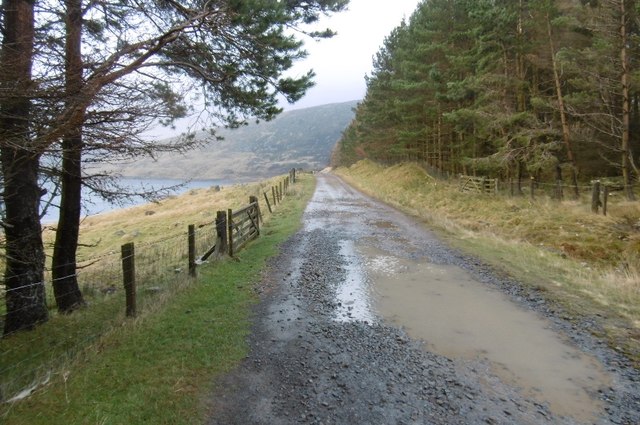
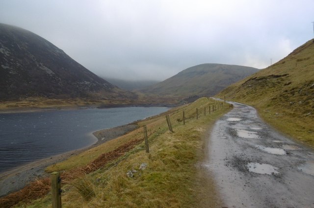
Appletree Brae is a picturesque area located in Peeblesshire, Scotland, known for its stunning downs and moorland landscapes. Situated amidst the Scottish Borders, this serene location offers a tranquil retreat for nature enthusiasts and outdoor lovers.
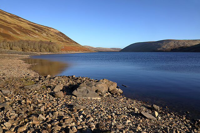
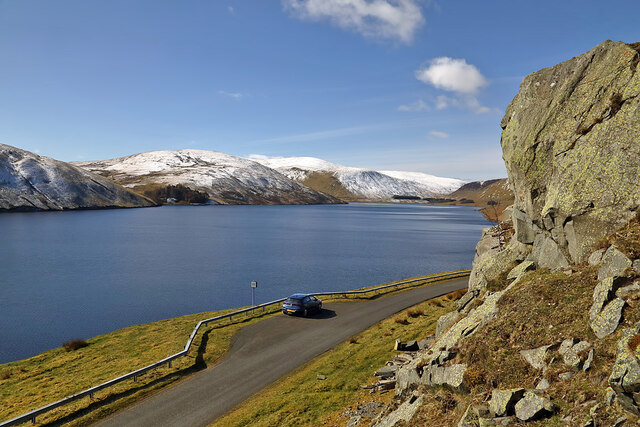
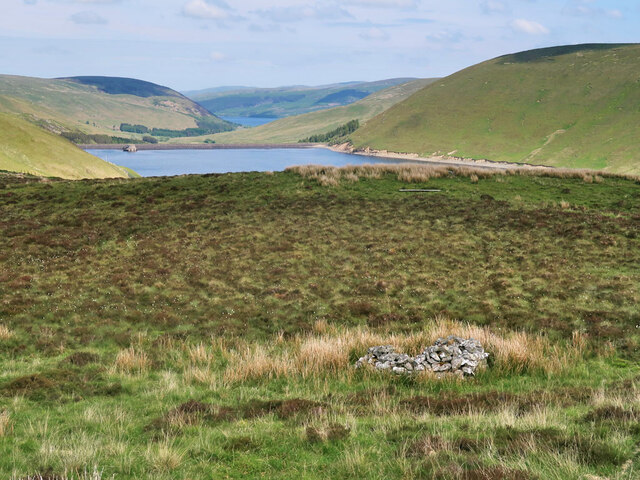
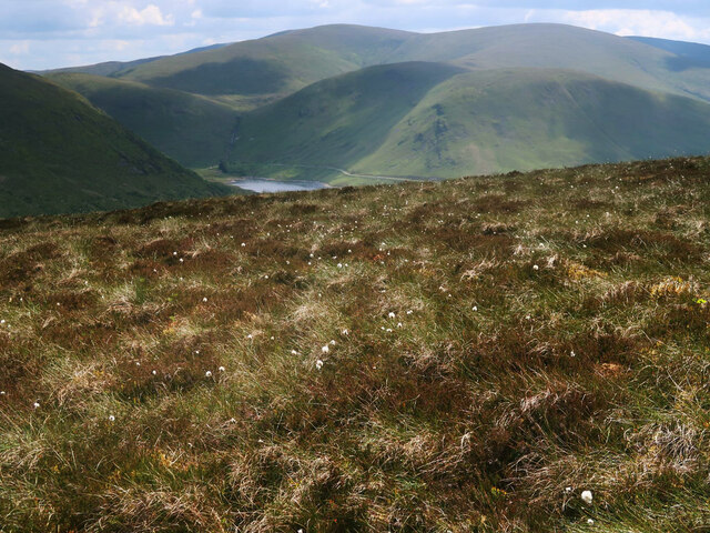
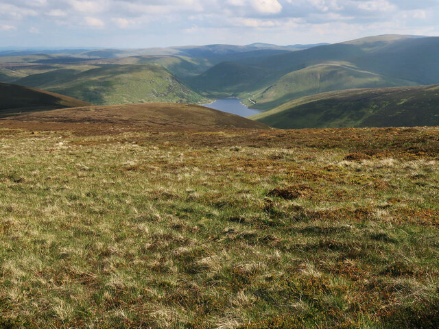
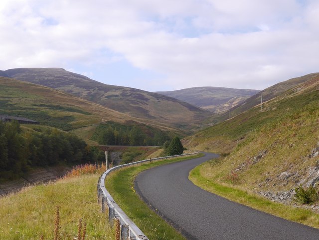
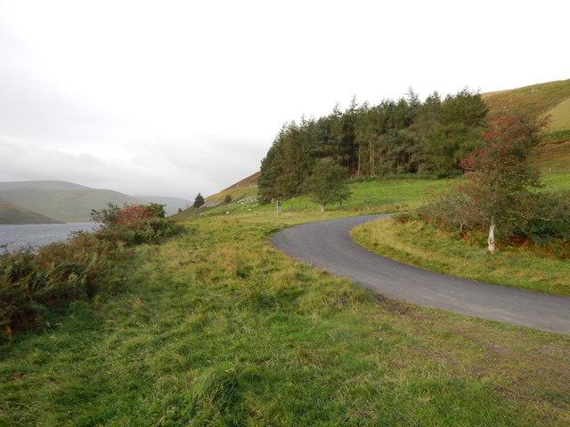
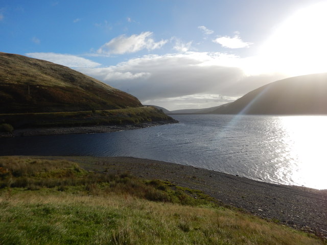
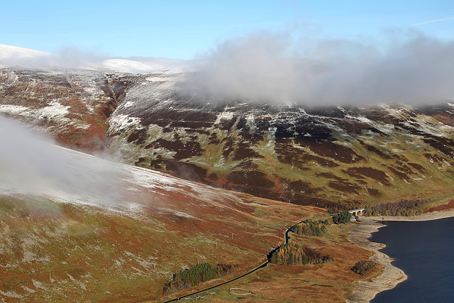
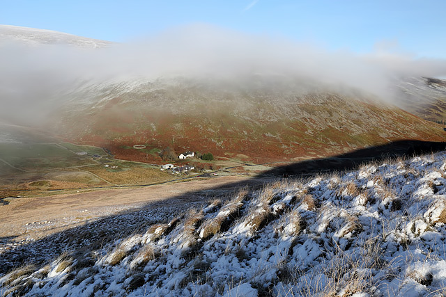
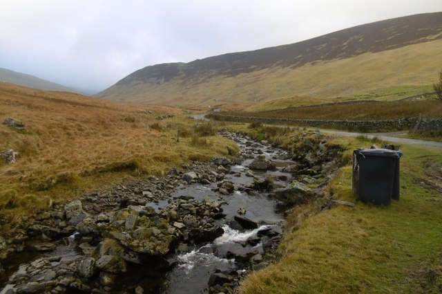
The downs of Appletree Brae are characterized by rolling hills and expansive meadows, providing breathtaking panoramic views of the surrounding countryside. The lush greenery is dotted with vibrant wildflowers, creating a vibrant tapestry of colors during the blooming season. The downs are also home to a variety of wildlife, including deer, rabbits, and numerous bird species, making it a haven for birdwatchers and wildlife photographers.
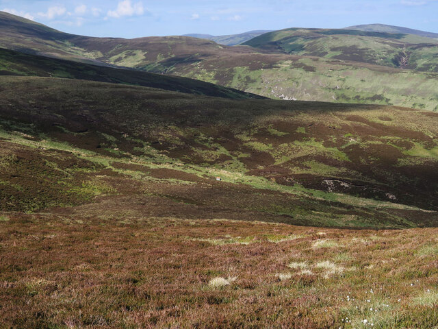
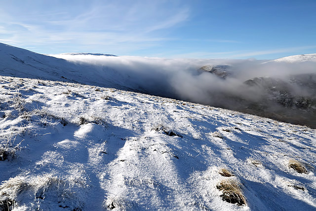
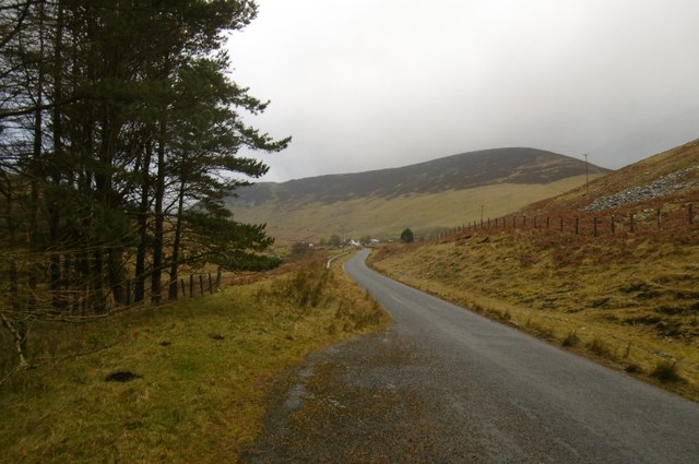
The moorland of Appletree Brae is a unique ecosystem that showcases the rugged beauty of the Scottish countryside. With its heather-covered hills and vast open spaces, the moorland offers a sense of freedom and solitude. Visitors can explore the area through well-marked walking trails, allowing them to immerse themselves in nature while enjoying the fresh air and panoramic vistas.
Appletree Brae is also renowned for its rich history, with ancient ruins and archaeological sites scattered throughout the region. These remnants of the past offer a glimpse into the area's historical significance and provide an opportunity for visitors to learn about the region's cultural heritage.
Overall, Appletree Brae in Peeblesshire is a haven of natural beauty and tranquility. Whether it's exploring the downs, wandering through the moorland, or appreciating the historical sites, this idyllic location offers a truly immersive experience for those seeking to connect with nature and indulge in Scotland's raw and untamed landscapes.
If you have any feedback on the listing, please let us know in the comments section below.
Appletree Brae Images
Images are sourced within 2km of 55.488959/-3.3003732 or Grid Reference NT1722. Thanks to Geograph Open Source API. All images are credited.
Appletree Brae is located at Grid Ref: NT1722 (Lat: 55.488959, Lng: -3.3003732)
Unitary Authority: The Scottish Borders
Police Authority: The Lothians and Scottish Borders
What 3 Words
///same.spans.sardine. Near Ettrick, Scottish Borders
Nearby Locations
Related Wikis

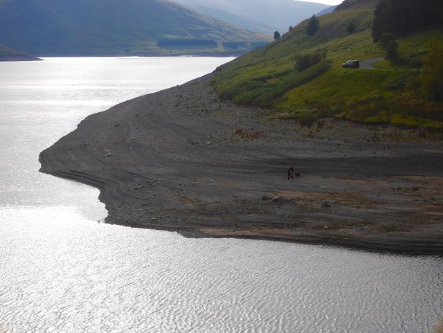
Megget Reservoir
Megget Reservoir is an impounding reservoir in the Megget valley in Ettrick Forest, in the Scottish Borders. The 259 hectares (640 acres) reservoir is...

Megget
Megget is a former chapelry or parish containing the valley of Megget Water, now forming the westernmost part of the parish of Yarrow, Selkirkshire in...

Craigierig
Craigierig is a village on the Megget Reservoir, in the Scottish Borders area of Scotland, in the former Selkirkshire. Places nearby include the Glengaber...

Broad Law
Broad Law is a hill in the Manor Hills range, part of the Southern Uplands of Scotland. The second-highest point in the Southern Uplands and the highest...
Nearby Amenities
Located within 500m of 55.488959,-3.3003732Have you been to Appletree Brae?
Leave your review of Appletree Brae below (or comments, questions and feedback).