Aisholt Common
Downs, Moorland in Somerset Sedgemoor
England
Aisholt Common
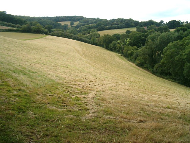
Aisholt Common, located in Somerset, England, is a picturesque area encompassing rolling downs and expansive moorland. The common is situated on the eastern edge of the Quantock Hills, a designated Area of Outstanding Natural Beauty.
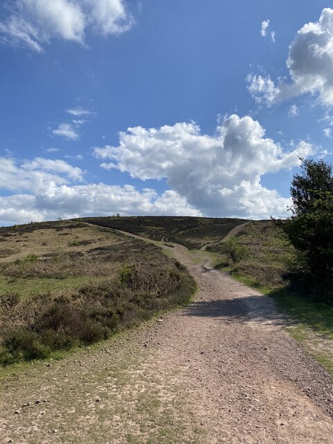
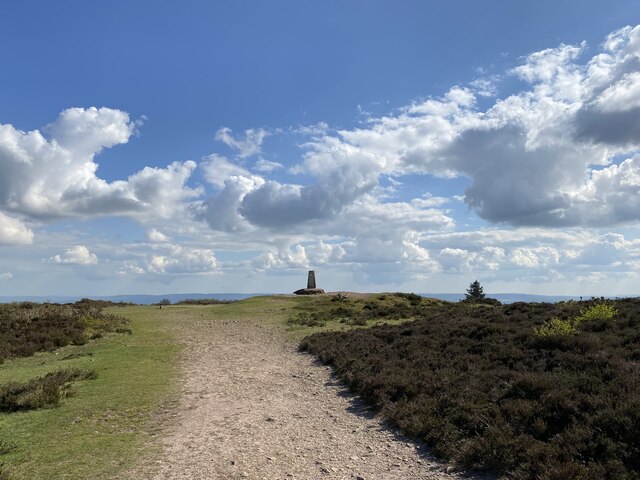
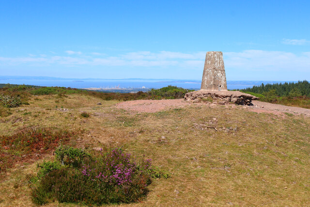
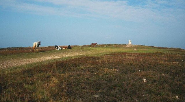
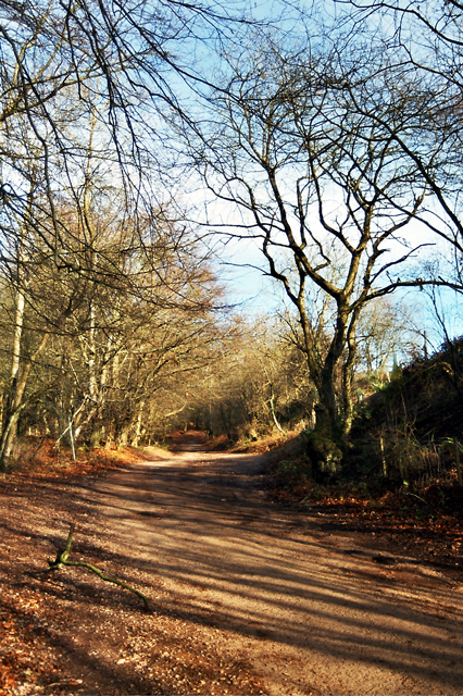
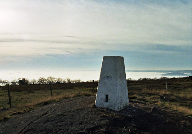
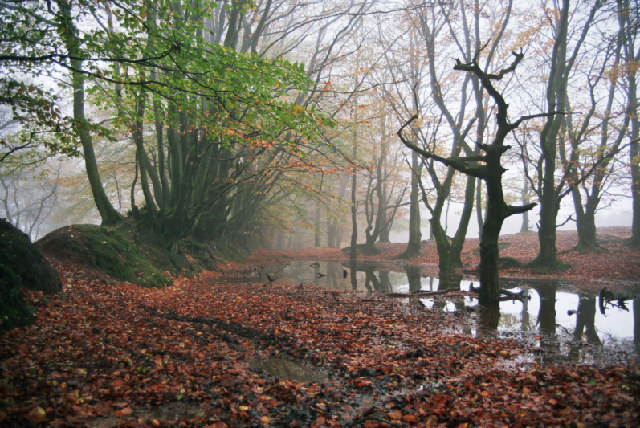
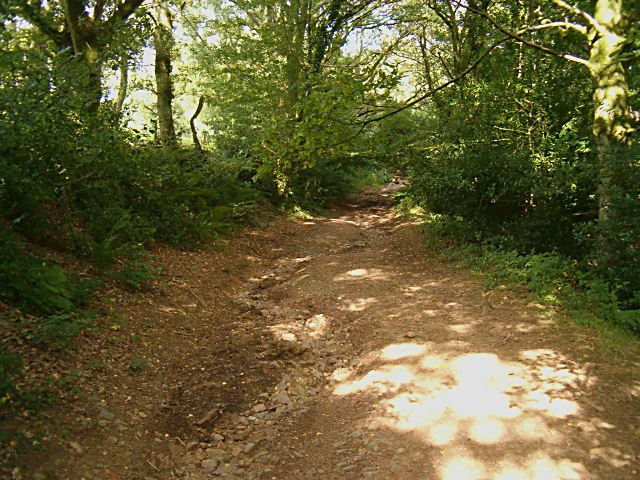
Covering an area of approximately 700 acres, Aisholt Common offers visitors a diverse landscape of heathland, grassland, and woodland. The downs are characterized by their gently sloping hills, covered in vibrant grasses and wildflowers during the summer months. The moorland, on the other hand, features open expanses of heather and gorse, providing a haven for various bird species.
The common is home to a wide range of wildlife, including deer, rabbits, and numerous bird species such as skylarks and stonechats. It is also known for its rich insect life, with butterflies and dragonflies commonly seen fluttering around the area.
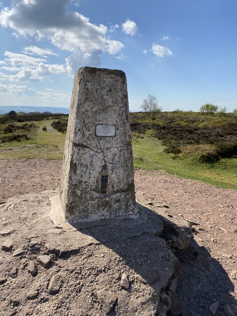
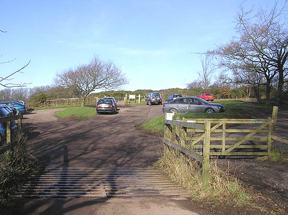
Aisholt Common offers visitors a tranquil and serene setting, perfect for walking, picnicking, and wildlife observation. There are several footpaths and bridleways that crisscross the common, providing opportunities to explore and take in the stunning views of the surrounding countryside.
The common is managed by the Aisholt Commoners Association, a group of local residents who work together to preserve and protect the natural beauty of the area. Their efforts ensure that Aisholt Common remains a haven for wildlife and a cherished resource for both residents and visitors alike.
If you have any feedback on the listing, please let us know in the comments section below.
Aisholt Common Images
Images are sourced within 2km of 51.110594/-3.1744166 or Grid Reference ST1735. Thanks to Geograph Open Source API. All images are credited.
Aisholt Common is located at Grid Ref: ST1735 (Lat: 51.110594, Lng: -3.1744166)
Administrative County: Somerset
District: Sedgemoor
Police Authority: Avon and Somerset
What 3 Words
///juices.importers.message. Near Nether Stowey, Somerset
Nearby Locations
Related Wikis

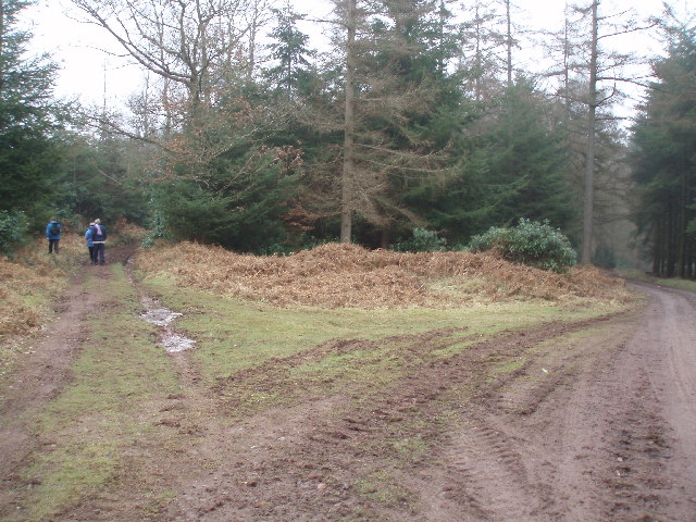
Plainsfield Camp
Plainsfield Camp (or Park Plantation or Cockercombe Castle) is a possible Iron Age earthwork on the Quantock Hills near Aisholt in Somerset, England.The...

Wills Neck
Wills Neck is the highest summit on the Quantock Hills and one of the highest points in Somerset, England. Although only 1261 ft (384 m) high, it qualifies...

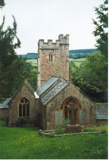
Church of All Saints, Aisholt
All Saints Church in Aisholt, Somerset, England, is the Anglican parish church for the ancient parish of Aisholt, now part of the Quantock Villages Benefice...

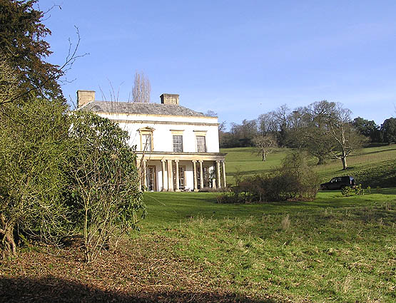
Bagborough House
Bagborough House in West Bagborough, Somerset, England was built circa 1730. It was designated a Grade II* listed building on 4 May 1984.Bagborough House...

Church of St Pancras, West Bagborough
The Anglican Church of St Pancras in West Bagborough, Somerset, England was built in the 15th century. It is a Grade II* listed building. == History... ==

West Bagborough
West Bagborough is a village and civil parish in Somerset, England, about 5 miles (8.0 km) north of Taunton. In 2011, the village had a population of 358...

West Bagborough Hoard
The West Bagborough Hoard is a hoard of 670 Roman coins and 72 pieces of hacksilver found in October 2001 by metal detectorist James Hawkesworth near...

Quantock Lodge
Quantock Lodge is a grade II listed nineteenth-century Gothic revival mansion built by Henry Labouchere, 1st Baron Taunton (1798–1869), to the design of...
Nearby Amenities
Located within 500m of 51.110594,-3.1744166Have you been to Aisholt Common?
Leave your review of Aisholt Common below (or comments, questions and feedback).