Bagthorpe
Settlement in Nottinghamshire Ashfield
England
Bagthorpe
Bagthorpe is a small village located in the county of Nottinghamshire, England. Situated approximately 9 miles north of Nottingham city center, it is a rural settlement with a population of around 400 residents. The village is part of the Bassetlaw district and falls within the civil parish of Worksop.
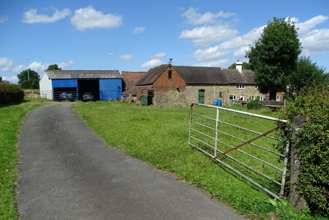
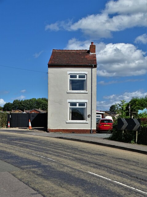
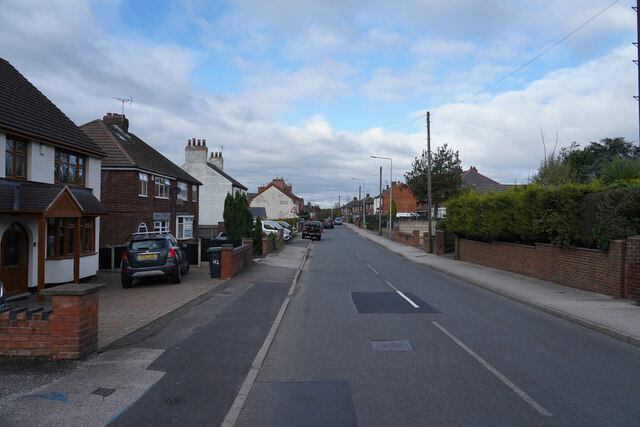
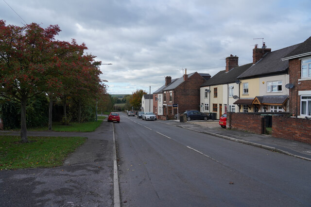
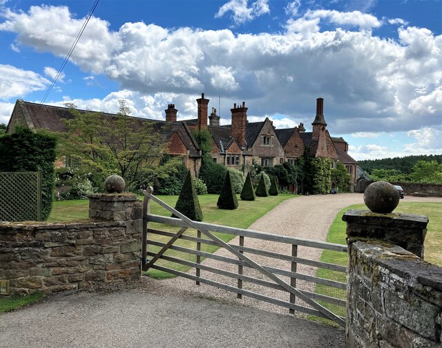
Bagthorpe is characterized by its picturesque surroundings, with rolling countryside, farmland, and wooded areas. The village itself is composed of a mix of traditional stone-built cottages and more modern houses. The community is tight-knit, with a friendly atmosphere and a strong sense of community spirit.
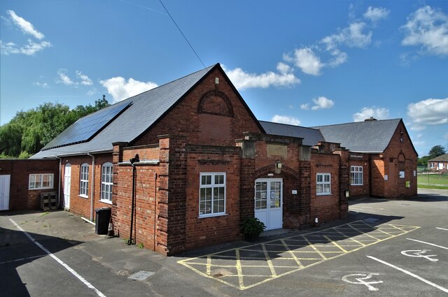
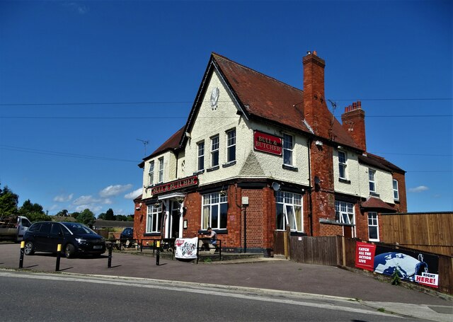
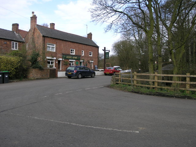
Although small in size, Bagthorpe has a few amenities to offer its residents. The village has a local pub, The Horse and Groom, which serves as a social hub for the community. In addition, there is a primary school, Bagthorpe Primary School, providing education for local children.
The village is well-connected to the surrounding areas by road. The A60 road runs nearby, providing easy access to Nottingham and Worksop. Public transportation is also accessible, with regular bus services connecting Bagthorpe to neighboring towns and villages.
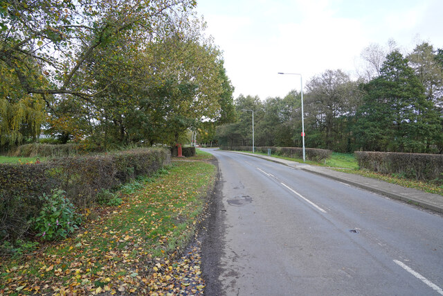
Bagthorpe benefits from its rural location, offering residents opportunities for outdoor activities such as walking, cycling, and horse riding. The village is surrounded by beautiful countryside, including nearby Sherwood Forest, which attracts visitors from far and wide.
Overall, Bagthorpe is a peaceful and idyllic village, providing a tranquil escape from the hustle and bustle of nearby urban centers. Its close-knit community and beautiful surroundings make it an attractive place to live for those seeking a rural lifestyle.
If you have any feedback on the listing, please let us know in the comments section below.
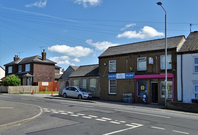
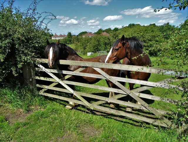
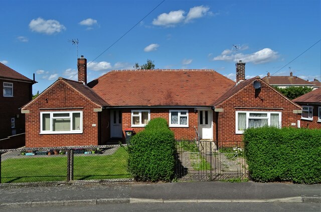
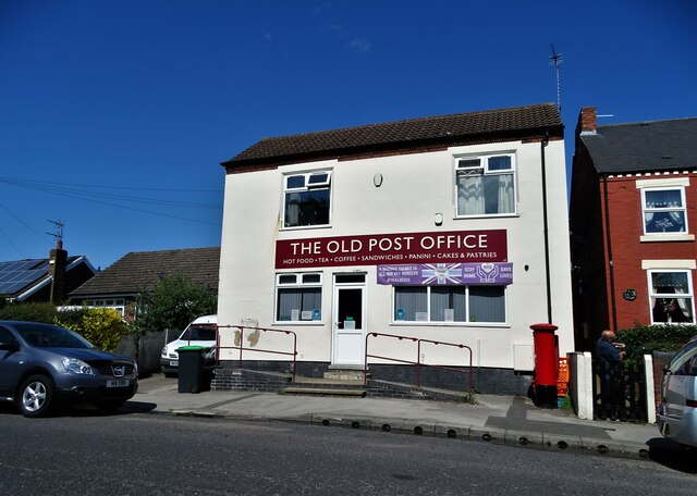
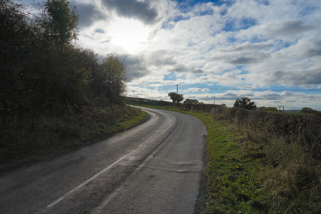
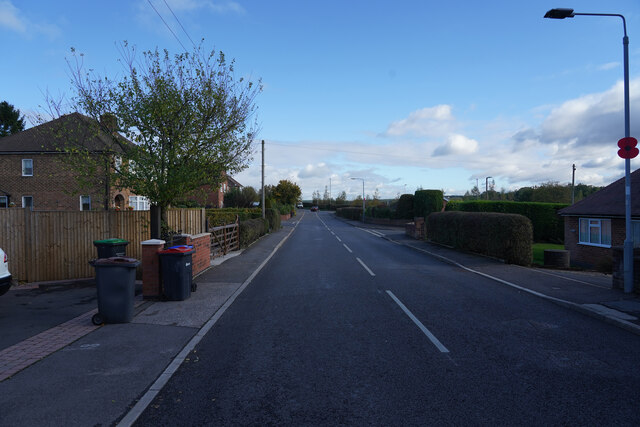
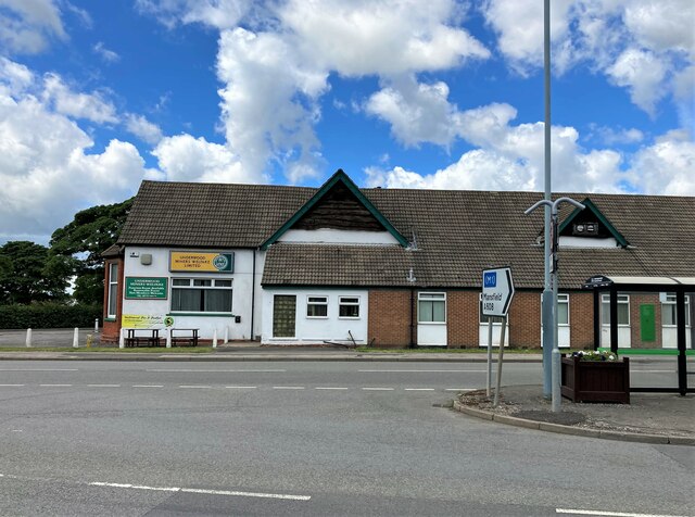
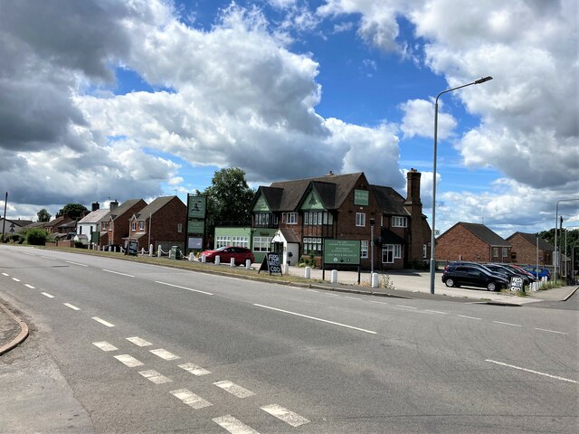
Bagthorpe Images
Images are sourced within 2km of 53.058673/-1.300171 or Grid Reference SK4751. Thanks to Geograph Open Source API. All images are credited.

Bagthorpe is located at Grid Ref: SK4751 (Lat: 53.058673, Lng: -1.300171)
Administrative County: Nottinghamshire
District: Ashfield
Police Authority: Nottinghamshire
What 3 Words
///slate.domain.interviewer. Near Pinxton, Derbyshire
Nearby Locations
Related Wikis
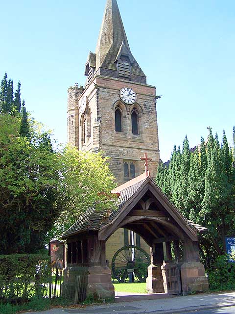
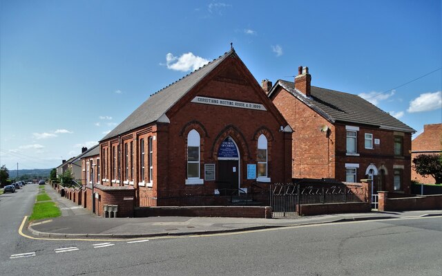
Church of St Michael and All Angels, Underwood
The Church of St Michael and All Angels, Underwood is a parish church in the Church of England in Underwood, Nottinghamshire. The church is Grade II listed...
Ashfield District
Ashfield () is a local government district in Nottinghamshire, England. The council is based in Kirkby-in-Ashfield, but the largest town is neighbouring...
Bagthorpe, Nottinghamshire
Bagthorpe is a village in Nottinghamshire, England. It is in the civil parish of Selston. == See also == Listed buildings in Selston == External links... ==
Underwood, Nottinghamshire
Underwood is a hilltop village within the civil parish of Selston in the English ceremonial county of Nottinghamshire. The village is a ward of Ashfield...
Nearby Amenities
Located within 500m of 53.058673,-1.300171Have you been to Bagthorpe?
Leave your review of Bagthorpe below (or comments, questions and feedback).