Bagthorpe

Settlement in Norfolk King's Lynn and West Norfolk

England

Bagthorpe

Footpath from the church at Barmer
Footpath from the church at Barmer Credit: Jonathan Thacker

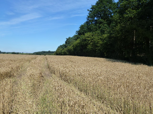
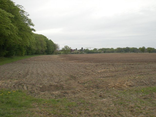
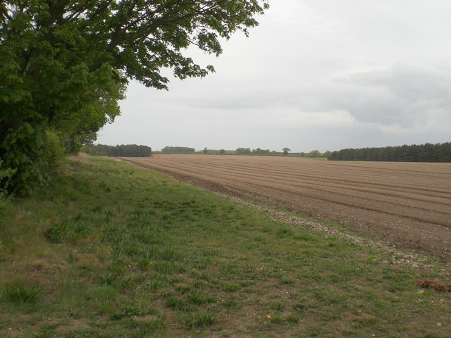
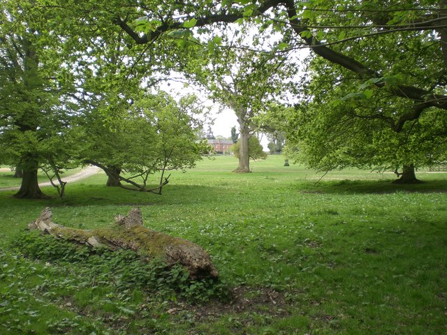
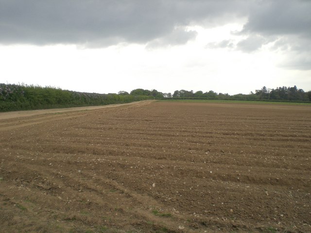
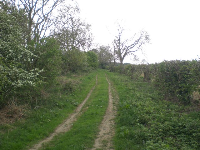
Bagthorpe is a small village located in the county of Norfolk, England. Situated approximately 10 miles northwest of the town of King's Lynn, it falls within the district of King's Lynn and West Norfolk. The village is surrounded by picturesque countryside, characterized by rolling farmland and quaint rural landscapes.

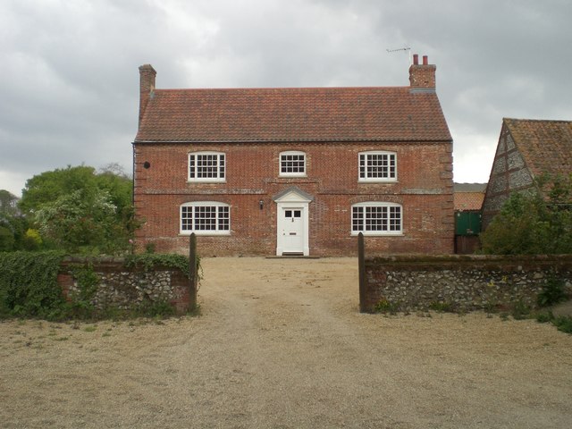
Bagthorpe is a quiet and close-knit community, with a population of around 200 residents. The village is known for its traditional charm and peaceful atmosphere, making it an ideal place for those seeking a tranquil rural lifestyle.

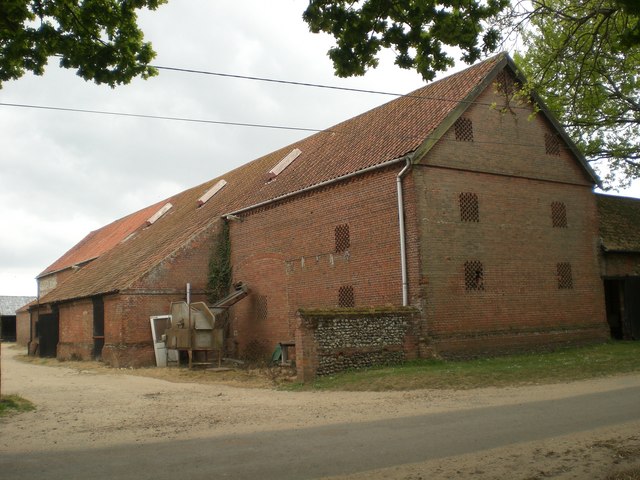
The village features a handful of amenities, including a local pub, The Jolly Farmers, which serves as a social hub for the community. There is also a village hall that hosts various events and gatherings throughout the year. Additionally, Bagthorpe is home to a small primary school, which caters to the educational needs of the local children.

Bagthorpe is surrounded by opportunities for outdoor activities and exploration. The nearby Norfolk Coast Area of Outstanding Natural Beauty offers stunning coastal walks and birdwatching opportunities, while the Norfolk Lavender fields in Heacham, just a short drive away, provide a fragrant and colorful landscape to explore.

Overall, Bagthorpe offers a peaceful and idyllic escape from the hustle and bustle of city life, with its picturesque surroundings and strong sense of community.

If you have any feedback on the listing, please let us know in the comments section below.
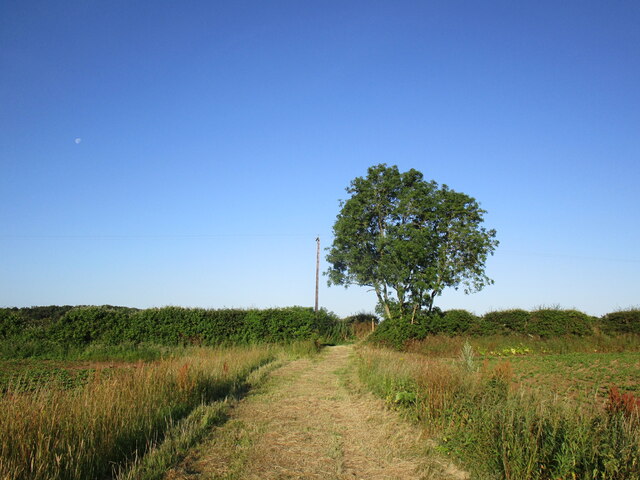
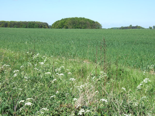
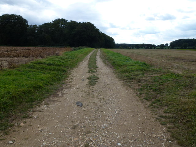
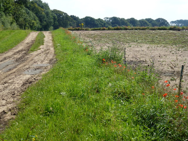
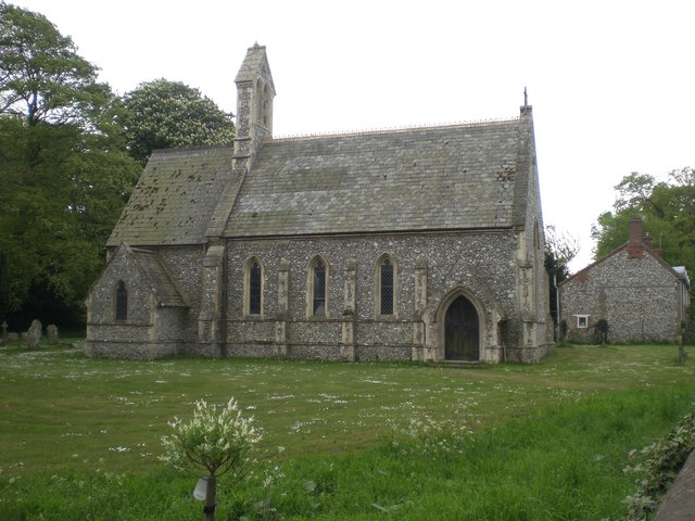
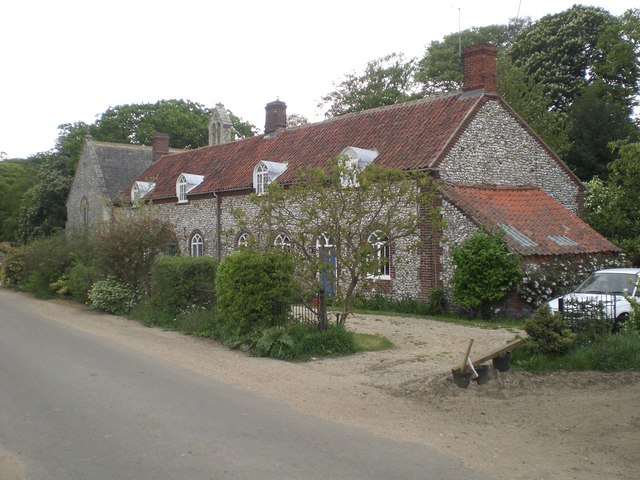
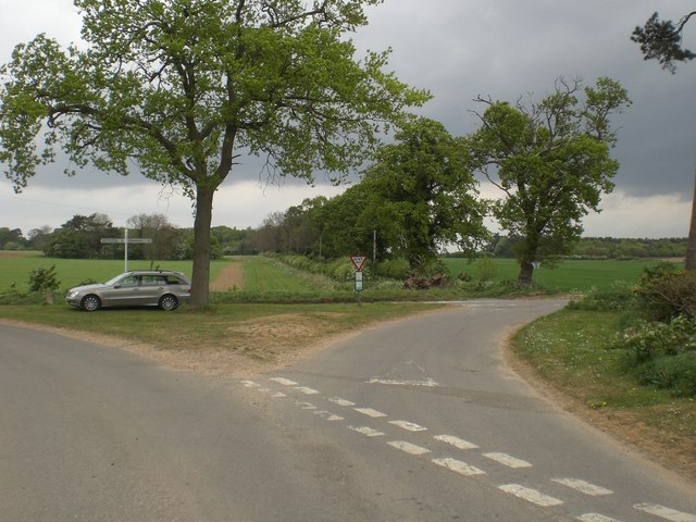
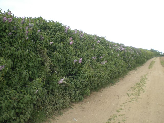
Bagthorpe Images

Images are sourced within 2km of 52.855692/0.66523922 or Grid Reference TF7932. Thanks to Geograph Open Source API. All images are credited.

Footpath from the church at Barmer
Farmland near Barmer Common Plantation West of Syderstone in Norfolk
Farmland near Barmer Common Plantation
West of Syderstone in Norfolk
Flint and sand track in Norfolk Between Bagthorpe and Frizzleton Farm
Flint and sand track in Norfolk
Between Bagthorpe and Frizzleton Farm
Track at the side of Berlin Plantation Near Bagthorpe in Norfolk
Track at the side of Berlin Plantation
Near Bagthorpe in Norfolk
Wheatfield next to Barmer Common Plantation A footpath runs at the edge of the plantation
Wheatfield next to Barmer Common Plantation
A footpath runs at the edge of the plantation
National Construction College, Bircham Tofts
National Construction College, Great Bircham. Occupying the site of a World War Two RAF station.
National Construction College, Great Bircham.
Occupying the site of a World War Two RAF station.
View north west across arable land towards Bircham Newton National Construction College Hyde Park Plantation on the left.  The tower cranes at the construction industry training college can be seen, somewhat incongruously in this very rural area, on the horizon.
View north west across arable land towards Bircham Newton National Construction College
Hyde Park Plantation on the left. The tower cranes at the construction industry training college can be seen, somewhat incongruously in this very rural area, on the horizon.
North north east across parched potato field near Barmer Dark clouds from the south west but still no rain
North north east across parched potato field near Barmer
Dark clouds from the south west but still no rain
Barn, Bagthorpe Hall Farm
Bagthorpe Hall Glimpsed south east through its surrounding park - bed & breakfast available <span class="nowrap"><a title="http://www.bagthorpehall.co.uk/" rel="nofollow ugc noopener" href="http://www.bagthorpehall.co.uk/">Link</a><img style="margin-left:2px;" alt="External link" title="External link - shift click to open in new window" src="https://s1.geograph.org.uk/img/external.png" width="10" height="10"/></span>
Bagthorpe Hall
Glimpsed south east through its surrounding park - bed & breakfast available LinkExternal link
Farm house, Bagthorpe Hall Farm A pleasingly simple piece of architecture - Grade II listed.  Recently restored - I doubt the farmer and his family live there any more.
Farm house, Bagthorpe Hall Farm
A pleasingly simple piece of architecture - Grade II listed. Recently restored - I doubt the farmer and his family live there any more.
St Mary the Virgin, Bagthorpe Now in the care of Norfolk Churches Trust <span class="nowrap"><a title="http://www.norfolk-churches.co.uk/" rel="nofollow ugc noopener" href="http://www.norfolk-churches.co.uk/">Link</a><img style="margin-left:2px;" alt="External link" title="External link - shift click to open in new window" src="https://s1.geograph.org.uk/img/external.png" width="10" height="10"/></span> with only occasional services. Grade II listed.
St Mary the Virgin, Bagthorpe
Now in the care of Norfolk Churches Trust LinkExternal link with only occasional services. Grade II listed.
Cottages at Bagthorpe next to the church Next to and matching the church. Grade II listed.
Cottages at Bagthorpe next to the church
Next to and matching the church. Grade II listed.
Crossroads between Syderstone and Bircham Tofts
Lilac hedge near Bagthorpe A field hedge at least 500m from the nearest garden where the predominant growth over a length of some 100m is lilac - in bloom in this photograph
Lilac hedge near Bagthorpe
A field hedge at least 500m from the nearest garden where the predominant growth over a length of some 100m is lilac - in bloom in this photograph
Cultivated field near Bagthorpe Not possible to identify the crop as due to the drought in this area there is no visible growth - probably carrots given the shape of the seed beds.  The hedge on the left is predominantly lilac - see Supplemental <a title="https://www.geograph.org.uk/photo/424810" href="https://www.geograph.org.uk/photo/424810">Link</a>
Cultivated field near Bagthorpe
Not possible to identify the crop as due to the drought in this area there is no visible growth - probably carrots given the shape of the seed beds. The hedge on the left is predominantly lilac - see Supplemental Link
Track near Bircham Common
Show me another place!

Bagthorpe is located at Grid Ref: TF7932 (Lat: 52.855692, Lng: 0.66523922)

Administrative County: Norfolk

District: King's Lynn and West Norfolk

Police Authority: Norfolk

What 3 Words

///hats.joined.stability. Near Dersingham, Norfolk

Nearby Locations

Seymours Grove Bagthorpe

Related Wikis

Bagthorpe, Norfolk

Bagthorpe is a village and former civil parish, now in the parish of Bagthorpe with Barmer, in the King's Lynn and West Norfolk district, in the county...

Bagthorpe with Barmer

Bagthorpe with Barmer is a civil parish in the English county of Norfolk. The parish includes the hamlets of Bagthorpe and Barmer, it is around 7+1⁄2 miles...

Bircham Tofts

Bircham Tofts is one of the three villages that make up the civil parish of Bircham, in the west of the English county of Norfolk. The village is located...

Bircham

Bircham is a civil parish in the English county of Norfolk. It includes the three villages of Great Bircham, Bircham Newton and Bircham Tofts. The parish...

RAF Bircham Newton

Royal Air Force Bircham Newton or more simply RAF Bircham Newton is a former Royal Air Force station located 2.1 miles (3.4 km) south east of Docking,...

St Mary the Virgin's Church, Great Bircham

St Mary's Church, Great Bircham dates from the 12th-century, and is a Grade I listed parish church in the Church of England Diocese of Norwich in Great...
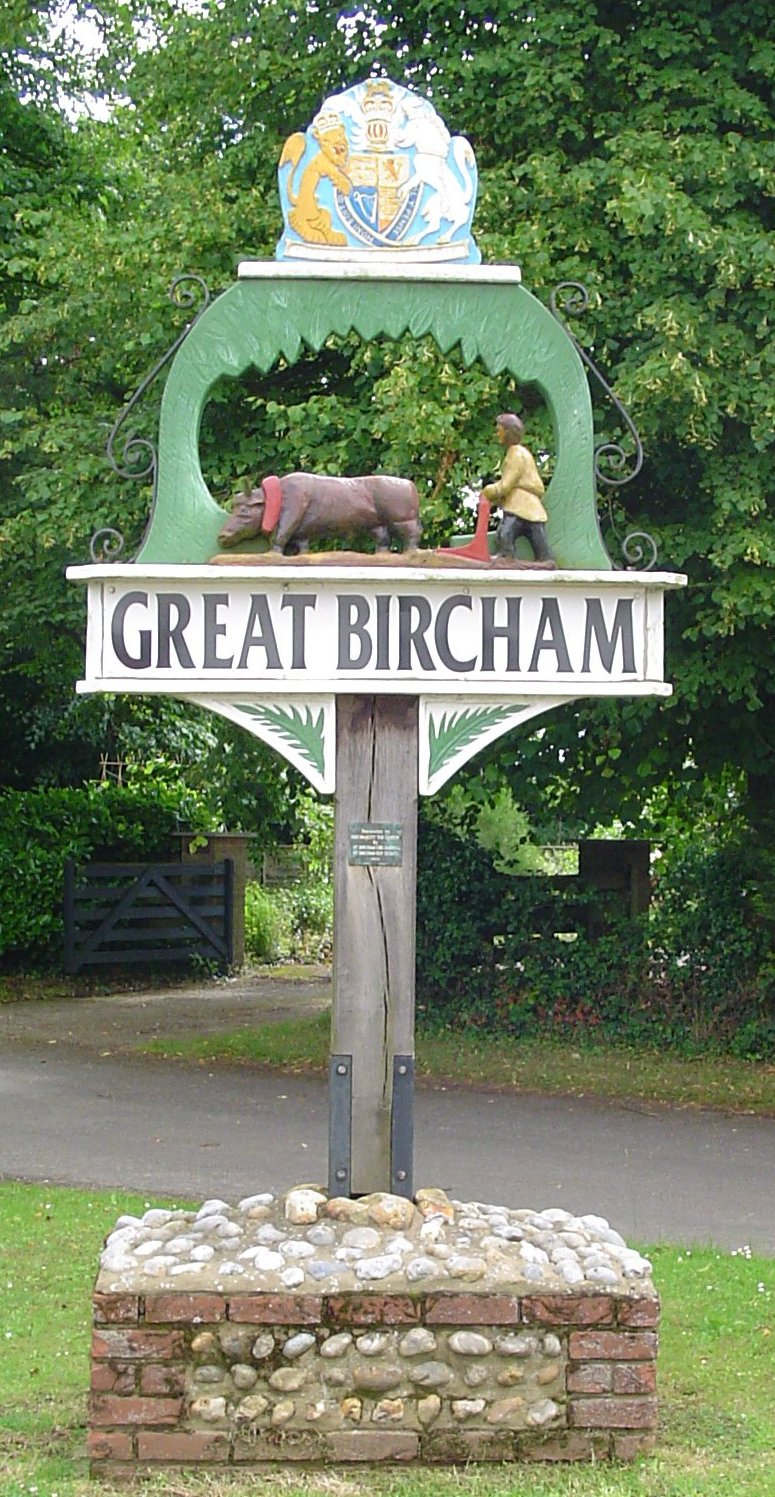
Great Bircham

Great Bircham is the largest of the three villages that make up the civil parish of Bircham, in the west of the English county of Norfolk. The village...

Barwick, Norfolk

Barwick is a scattered hamlet and civil parish in the north-west part of the English county of Norfolk. It is situated adjacent to the slightly larger...

Nearby Amenities

Located within 500m of 52.855692,0.66523922
Bagthorpe
Place: hamlet
Lat/Long: 52.8582739/0.6689825
Telephone
Booth: K6
Covered: booth
Listed Status: Grade II
Lat/Long: 52.8578142/0.665547
Post Box
Operator: Royal Mail
Operator Wikidata: Q638098
Post Box Mounting: stone_wall
Post Box Type: wall
Ref: PE31 60
Royal Cypher: VR
Royal Cypher Wikidata: Q33102356
Lat/Long: 52.857948/0.6656985
Entrance: main
Lat/Long: 52.857493/0.6657347
The data included in this document is from www.openstreetmap.org. The data is made available under ODbL.

Have you been to Bagthorpe?

Leave your review of Bagthorpe below (or comments, questions and feedback).