Bagthorpe Plantation
Wood, Forest in Nottinghamshire Ashfield
England
Bagthorpe Plantation
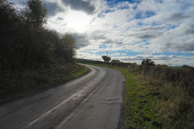
Bagthorpe Plantation is a picturesque woodland located in Nottinghamshire, England. Covering an area of approximately 100 acres, it is nestled within the stunning countryside of the county. The woodland is part of the wider Sherwood Forest area, renowned for its rich natural beauty and historical significance.
Bagthorpe Plantation boasts a diverse range of tree species, including oak, birch, beech, and pine. These tall and majestic trees create a dense canopy, providing a habitat for a variety of wildlife. Nature enthusiasts can expect to spot an array of bird species, such as woodpeckers, owls, and thrushes, as well as small mammals like squirrels and rabbits.
The woodland is crisscrossed by several well-maintained trails, making it an ideal spot for leisurely walks and peaceful strolls. These paths wind through the forest, offering visitors the chance to immerse themselves in the tranquility of nature. There are also designated picnic areas, providing opportunities for visitors to relax and enjoy a meal amidst the serene surroundings.
Bagthorpe Plantation holds historical significance as well. It is believed that the forest once provided timber for the construction of Nottingham Castle. Additionally, the woodland has been part of the local community for generations, with many families visiting for recreational activities such as den-building and nature exploration.
Overall, Bagthorpe Plantation is a cherished natural gem in Nottinghamshire, offering a peaceful escape from the hustle and bustle of everyday life. Whether it's for a leisurely walk, birdwatching, or simply enjoying the beauty of the forest, this enchanting woodland is a must-visit for nature enthusiasts and history lovers alike.
If you have any feedback on the listing, please let us know in the comments section below.
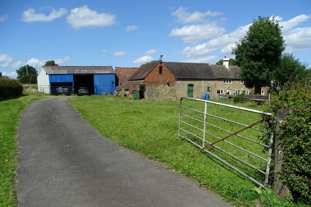
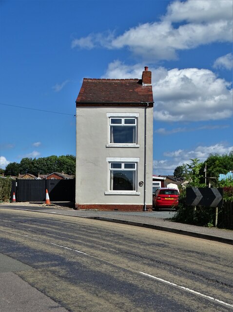
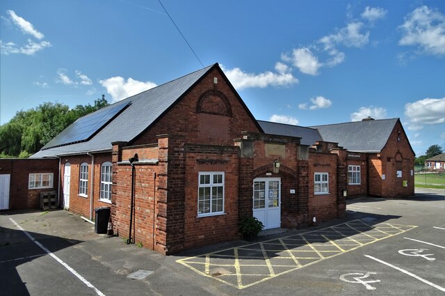
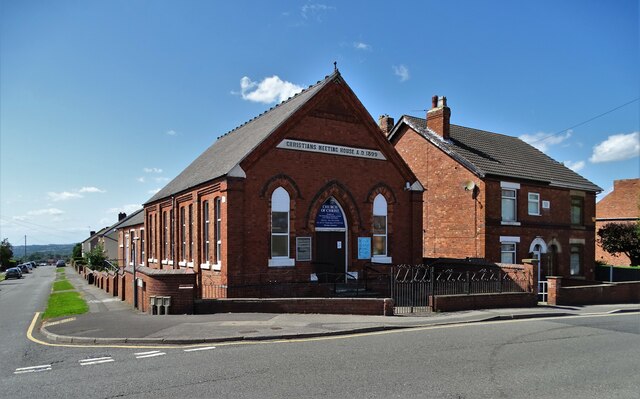
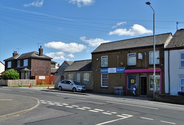
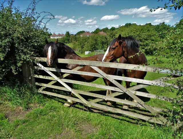
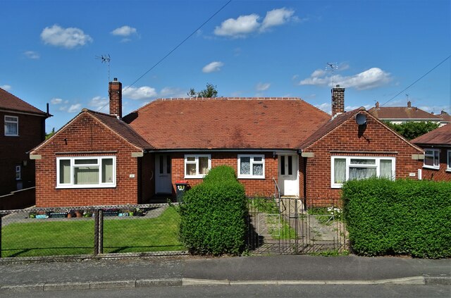
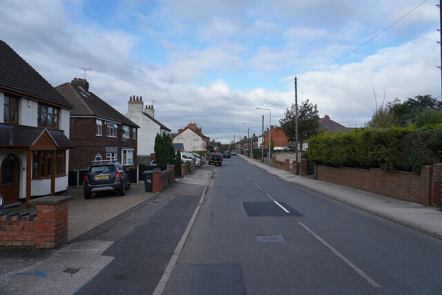
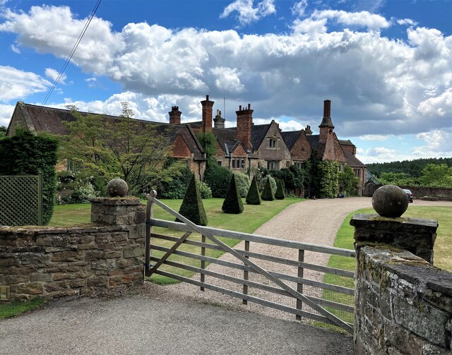
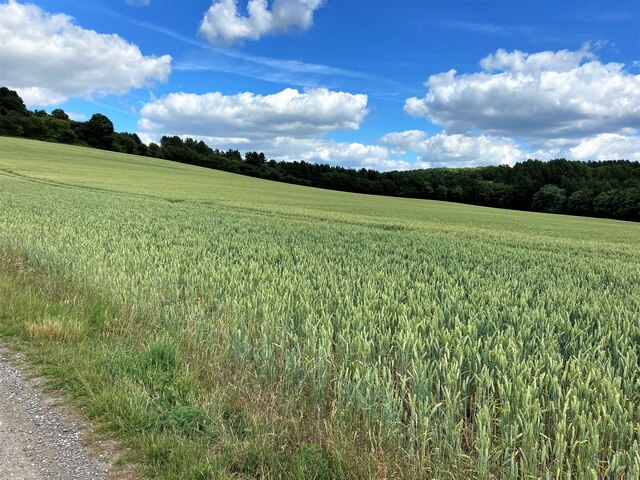
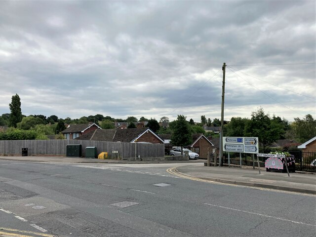
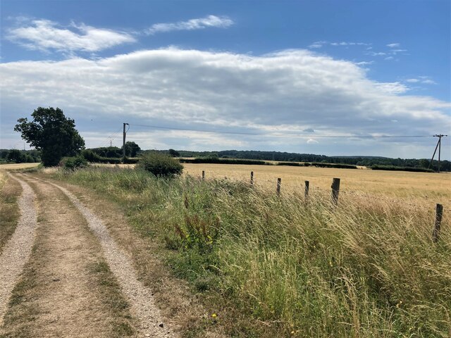
Bagthorpe Plantation Images
Images are sourced within 2km of 53.056937/-1.2922827 or Grid Reference SK4751. Thanks to Geograph Open Source API. All images are credited.


Bagthorpe Plantation is located at Grid Ref: SK4751 (Lat: 53.056937, Lng: -1.2922827)
Administrative County: Nottinghamshire
District: Ashfield
Police Authority: Nottinghamshire
What 3 Words
///accent.leathers.shares. Near Pinxton, Derbyshire
Nearby Locations
Related Wikis
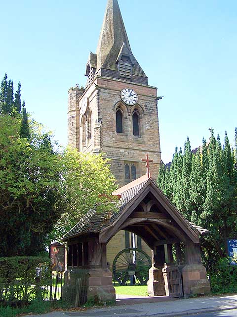
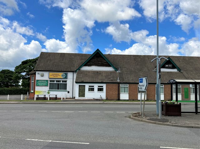
Church of St Michael and All Angels, Underwood
The Church of St Michael and All Angels, Underwood is a parish church in the Church of England in Underwood, Nottinghamshire. The church is Grade II listed...
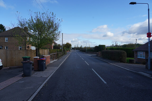
Underwood, Nottinghamshire
Underwood is a hilltop village within the civil parish of Selston in the English ceremonial county of Nottinghamshire. The village is a ward of Ashfield...

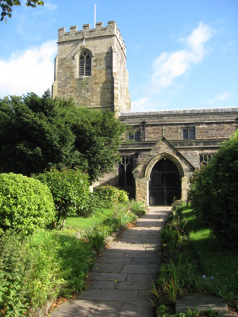
Felley Priory
Felley Priory is a 16th century house with gardens located in the village of Felley, Nottinghamshire, UK. It is situated on the grounds of a former priory...
Felley
Felley is a civil parish in the Ashfield district, in Nottinghamshire, England, located between Hucknall and Sutton-in-Ashfield. According to the 2001...
Ashfield District
Ashfield () is a local government district in Nottinghamshire, England. The population of Ashfield was 127,200 in 2018. The district is mostly urban...
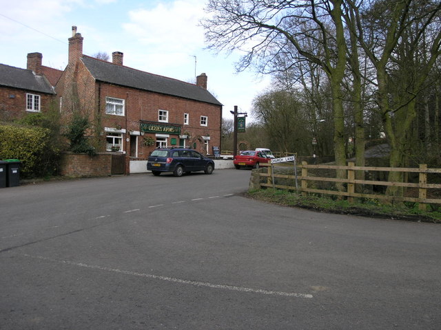
Bagthorpe, Nottinghamshire
Bagthorpe is a village in Nottinghamshire, England. It is in the civil parish of Selston. == See also == Listed buildings in Selston == External links... ==
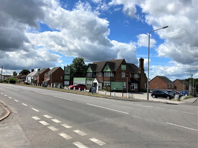
Selston
Selston is a large village and civil parish in the Ashfield District of Nottinghamshire, England. It is situated 12 miles (19.3 km) north-northwest of...

Selston F.C.
Selston F.C. is a football club based in Selston, Nottinghamshire. They are currently members of the United Counties League Division One and play at the...
Nearby Amenities
Located within 500m of 53.056937,-1.2922827Have you been to Bagthorpe Plantation?
Leave your review of Bagthorpe Plantation below (or comments, questions and feedback).