Moss of Ardblair

Downs, Moorland in Perthshire

Scotland

Moss of Ardblair

Perth Street, Blairgowrie
Perth Street, Blairgowrie Credit: Richard Webb

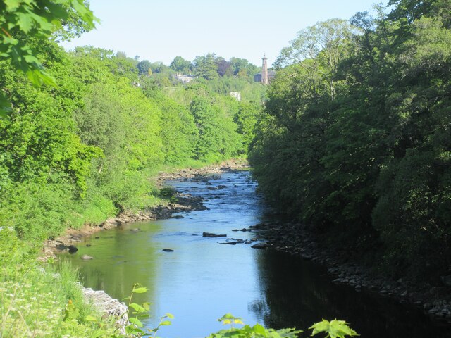
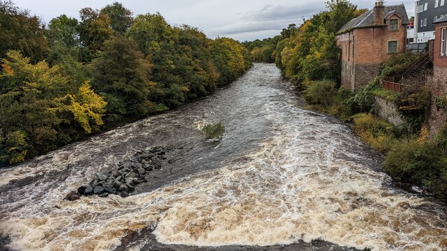
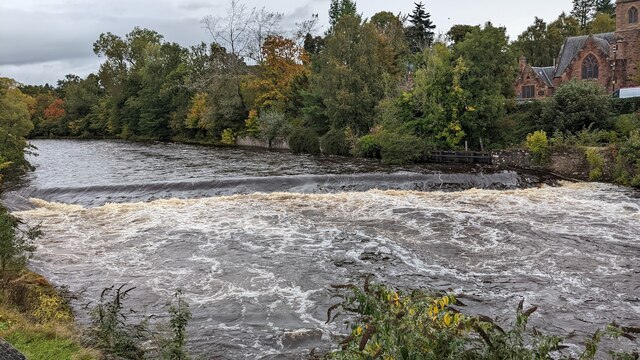
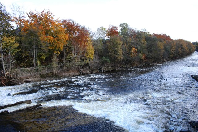
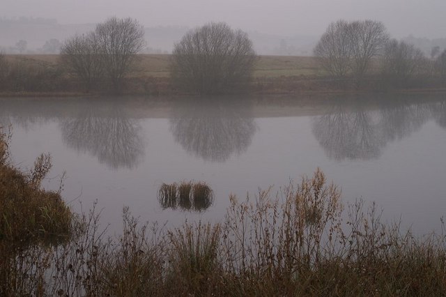
Moss of Ardblair is a picturesque area located in Perthshire, Scotland. Situated on the outskirts of the village of Blairgowrie, this natural landscape is renowned for its stunning downs and moorland. Spanning over a vast expanse of approximately 200 acres, Moss of Ardblair offers a diverse range of flora and fauna.

The downs of Moss of Ardblair are characterized by rolling hills covered in lush green grass. These hills provide a perfect grazing ground for various livestock, such as sheep and cattle. The downs are also home to a variety of wildflowers, including heather, thistles, and daisies, which add vibrant colors to the landscape.

The moorland of Moss of Ardblair is a captivating sight, with its expansive stretches of open land covered in a thick carpet of moss and heather. This unique habitat supports a wide array of wildlife, including red grouse, golden plovers, and curlews. The moorland is also home to several species of small mammals, such as voles and shrews, which find shelter amidst the dense vegetation.

Visitors to Moss of Ardblair can explore its natural beauty through a network of walking trails that meander through the downs and moorland. These trails offer stunning views of the surrounding countryside, with the distant peaks of the Grampian Mountains adding a majestic backdrop. The serene atmosphere and peaceful ambiance of Moss of Ardblair make it an ideal location for nature lovers and those seeking tranquility amidst the Scottish countryside.

If you have any feedback on the listing, please let us know in the comments section below.

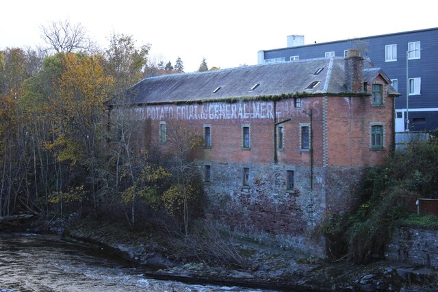
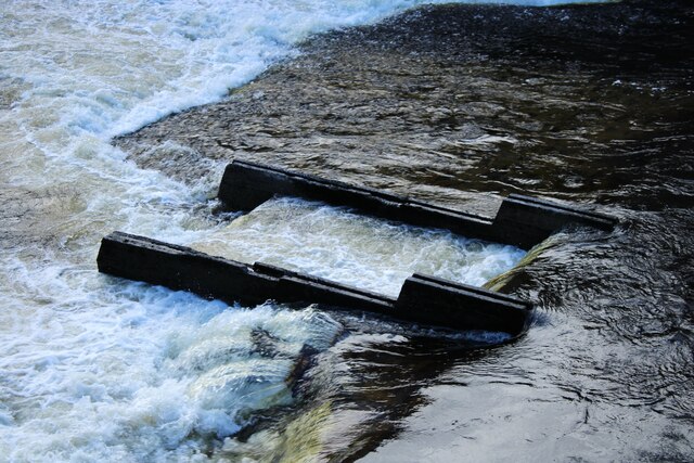
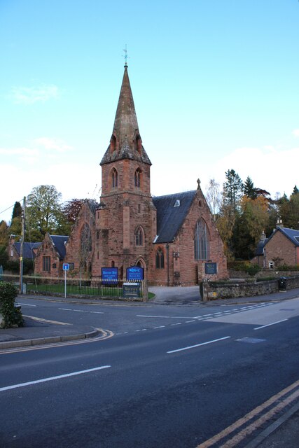
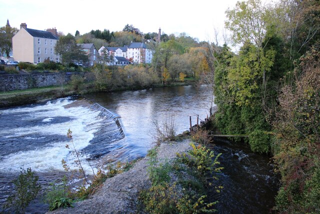
Moss of Ardblair Images

Images are sourced within 2km of 56.584059/-3.3623399 or Grid Reference NO1644. Thanks to Geograph Open Source API. All images are credited.

Perth Street, Blairgowrie
Black Victorian Wallbox Black painted VR wallbox on the corner of the A93 Perth Road and A923 Dunkeld Road in Blairgowrie.
Black Victorian Wallbox
Black painted VR wallbox on the corner of the A93 Perth Road and A923 Dunkeld Road in Blairgowrie.
Blairgowrie Bowling Club Looking east from Lochy Terrace to the bowling green at Blairgowrie Bowling Club.
Blairgowrie Bowling Club
Looking east from Lochy Terrace to the bowling green at Blairgowrie Bowling Club.
OS Benchmark Bolt OS Benchmark bolt set into top of bridge wall on north side of road.
Ref: <span class="nowrap"><a title="https://www.bench-marks.org.uk/bm165606" rel="nofollow ugc noopener" href="https://www.bench-marks.org.uk/bm165606">Link</a><img style="margin-left:2px;" alt="External link" title="External link - shift click to open in new window" src="https://s1.geograph.org.uk/img/external.png" width="10" height="10"/></span>
OS Benchmark Bolt
OS Benchmark bolt set into top of bridge wall on north side of road. Ref: LinkExternal link
Obelisk Memorial Main inscription:
"To the dear memory
of
Allan McLaren Brown
of Marlee
who died in London 23 March 1889
His body rests
in Highgate Cemetery"
Obelisk Memorial
Main inscription: "To the dear memory of Allan McLaren Brown of Marlee who died in London 23 March 1889 His body rests in Highgate Cemetery"
River Ericht The River Ericht looking upstream towards Blairgowrie with the tower of the old Hill Church in the distance.
River Ericht
The River Ericht looking upstream towards Blairgowrie with the tower of the old Hill Church in the distance.
Weir on River Ericht at Blairgowrie
Corner of Alan Street and High Street, Blairgowrie
River Ericht, on A93 Bridge, Blairgowrie
Little's Fish Restaurant
River Ericht, A93 Bridge, Blairgowrie
View of River Ericht
Tannage Street, Blairgowrie The brick-built 19th century warehouse is Category C listed <span class="nowrap"><a title="https://portal.historicenvironment.scot/designation/LB49480" rel="nofollow ugc noopener" href="https://portal.historicenvironment.scot/designation/LB49480">Link</a><img style="margin-left:2px;" alt="External link" title="External link - shift click to open in new window" src="https://s1.geograph.org.uk/img/external.png" width="10" height="10"/></span>.
Tannage Street, Blairgowrie
The brick-built 19th century warehouse is Category C listed LinkExternal link.
River Ericht The river forms the boundary between Blairgowrie on the western side and Rattray on the east. Note the fish ladder on the left.
River Ericht
The river forms the boundary between Blairgowrie on the western side and Rattray on the east. Note the fish ladder on the left.
Warehouse beside the River Ericht 19th century brick-built warehouse beside the River Ericht. A painted ghost sign reads:

S C W S LTD POTATO FRUIT & GENERAL MERCHANTS

See <a href="https://www.geograph.org.uk/photo/7642797">NO1845 : Tannage Street, Blairgowrie</a> for a view of the other side of the Category C listed <span class="nowrap"><a title="https://portal.historicenvironment.scot/designation/LB49480" rel="nofollow ugc noopener" href="https://portal.historicenvironment.scot/designation/LB49480">Link</a><img style="margin-left:2px;" alt="External link" title="External link - shift click to open in new window" src="https://s1.geograph.org.uk/img/external.png" width="10" height="10"/></span> building.
Warehouse beside the River Ericht
19th century brick-built warehouse beside the River Ericht. A painted ghost sign reads: S C W S LTD POTATO FRUIT & GENERAL MERCHANTS See NO1845 : Tannage Street, Blairgowrie for a view of the other side of the Category C listed LinkExternal link building.
Fish ladder, River Ericht The fish ladder in the centre of a weir is immediately downstream of Blairgowrie Bridge.
Fish ladder, River Ericht
The fish ladder in the centre of a weir is immediately downstream of Blairgowrie Bridge.
Restaurant and bar The former Riverside Methodist Church is by David Smart and was built in 1887. It closed and was sold in 2015 and is now Little's Restaurant and Rorries' Bar.
Restaurant and bar
The former Riverside Methodist Church is by David Smart and was built in 1887. It closed and was sold in 2015 and is now Little's Restaurant and Rorries' Bar.
Weir on the River Ericht On the right is the reason for the weir. A sluice leads water into a lade which leads to the Ashgrove Works, where the water powered a 24ft waterwheel <a href="https://www.geograph.org.uk/photo/6465114">NO1944 : Ashgrove Works, Blairgowrie - waterwheel</a>. The works processed flax and jute.
Weir on the River Ericht
On the right is the reason for the weir. A sluice leads water into a lade which leads to the Ashgrove Works, where the water powered a 24ft waterwheel NO1944 : Ashgrove Works, Blairgowrie - waterwheel. The works processed flax and jute.
Show me another place!

Moss of Ardblair is located at Grid Ref: NO1644 (Lat: 56.584059, Lng: -3.3623399)

Unitary Authority: Perth and Kinross

Police Authority: Tayside

What 3 Words

///icebergs.flamenco.collapsed. Near Blairgowrie, Perth & Kinross

Related Wikis

Ardblair Castle

Ardblair Castle is an L-plan castle (with an added wing), dating from the 16th century, around 0.75 miles (1.21 km) west of Blairgowrie in Perth and Kinross...

Rae Loch

Rae Loch is a small lowland freshwater loch that sits directly to the east of Loch of Drumellie into which it flows and is 1.5 miles (2.4 km) to the west...

Blairgowrie Community Hospital

Blairgowrie Community Hospital is a health facility in Perth Road, Blairgowrie and Rattray, Scotland. It is managed by NHS Tayside. == History == The first...

Newton Castle

Newton Castle stands in its grounds near the town of Blairgowrie in Perth and Kinross, Scotland. It is a Category A listed building dating to the mid-16th...

Blairgowrie High School

Blairgowrie High School is a high school in Blairgowrie, Scotland. Blairgowrie High School has 719 students (as of September census) from Blairgowrie and...

Fingask Loch

Fingask Loch is a small lowland freshwater loch that is about three-quarters of a mile from Rae Loch in the valley of the Lunan Burn and is 1.5 miles south...

Kinloch, Blairgowrie

Kinloch is a hamlet and civil parish immediately north of the Loch of Drumellie, about two miles (three kilometres) west of Blairgowrie in Perth and Kinross...

White Loch, Perth and Kinross

White Loch is a small lowland freshwater loch that is located directly to the east of Fingask Loch in the valley of the Lunan Burn and is 1.5 miles south...

Nearby Amenities

Located within 500m of 56.584059,-3.3623399
Material: wood
Power: pole
Lat/Long: 56.5866804/-3.3568993
Material: wood
Power: pole
Lat/Long: 56.5865567/-3.3581305
Material: wood
Power: pole
Lat/Long: 56.5864614/-3.3590989
Material: wood
Power: pole
Lat/Long: 56.5863612/-3.3600605
Material: wood
Power: pole
Lat/Long: 56.5862622/-3.3610445
Power: pole
Lat/Long: 56.5858292/-3.361768
Power: pole
Lat/Long: 56.5853912/-3.3624465
Power: pole
Lat/Long: 56.587969/-3.3657852
Power: pole
Lat/Long: 56.5876102/-3.3655425
Power: pole
Lat/Long: 56.5871994/-3.3653044
Power: pole
Lat/Long: 56.5868072/-3.3651718
Power: pole
Lat/Long: 56.586493/-3.3645629
Power: pole
Lat/Long: 56.5862344/-3.3639002
Power: pole
Lat/Long: 56.586154/-3.3626083
The data included in this document is from www.openstreetmap.org. The data is made available under ODbL.

Have you been to Moss of Ardblair?

Leave your review of Moss of Ardblair below (or comments, questions and feedback).