Ardblair Castle

Heritage Site in Perthshire

Scotland

Ardblair Castle

Perth Street, Blairgowrie
Perth Street, Blairgowrie Credit: Richard Webb

Ardblair Castle is a historic site located in the county of Perthshire, Scotland. Situated near the town of Blairgowrie, the castle dates back to the 13th century, making it one of the oldest surviving castles in the region. The castle's original purpose was to serve as a stronghold for the Blair family, who were prominent landowners in the area.

The castle is built in a strategic location, sitting atop a hill and offering commanding views of the surrounding landscape. Its architecture reflects the defensive needs of the time, with thick stone walls and narrow windows designed to withstand attacks. Over the centuries, the castle has undergone several renovations and expansions, resulting in a unique blend of architectural styles.

Ardblair Castle is set within picturesque grounds, featuring well-maintained gardens and a beautiful courtyard. The castle's interior showcases a range of historical artifacts, including antique furniture, tapestries, and artwork. Visitors can explore the castle's various rooms and learn about its rich history through guided tours.

The castle also holds significance in Scottish history, as it played a role in various conflicts and political events. It has witnessed the rise and fall of several notable figures, including members of the Stuart dynasty.

Today, Ardblair Castle is recognized as a protected heritage site, attracting tourists from around the world who are interested in Scotland's medieval history. It stands as a testament to the region's historical significance and offers visitors a glimpse into the past.

If you have any feedback on the listing, please let us know in the comments section below.

Ardblair Castle Images

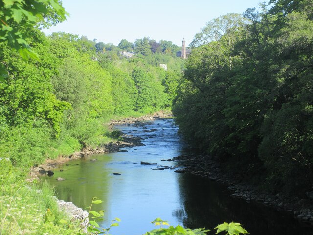
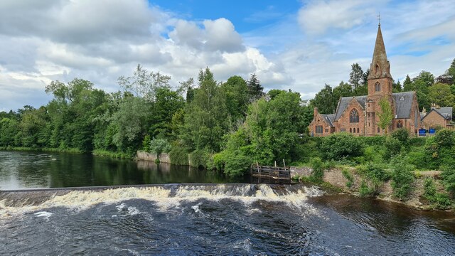
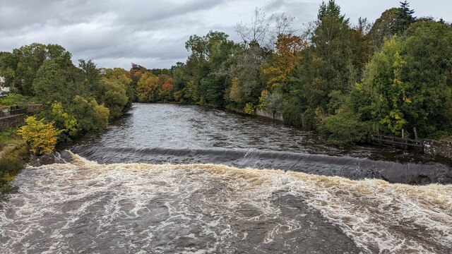
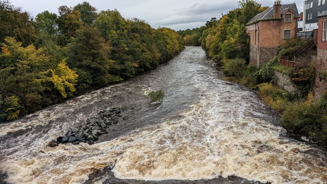
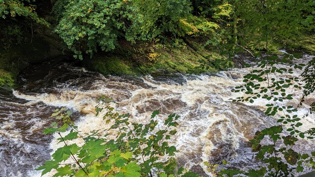
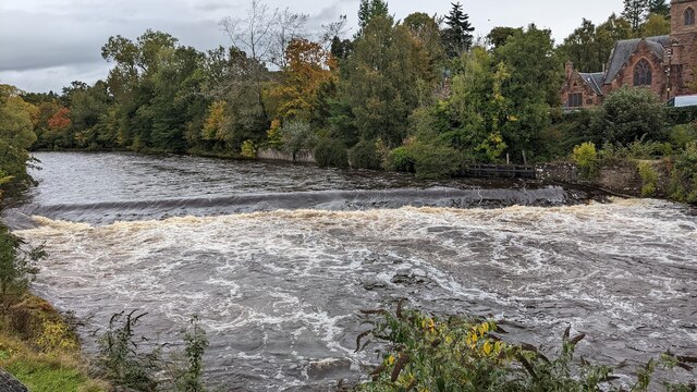
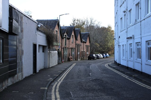
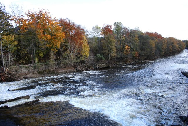
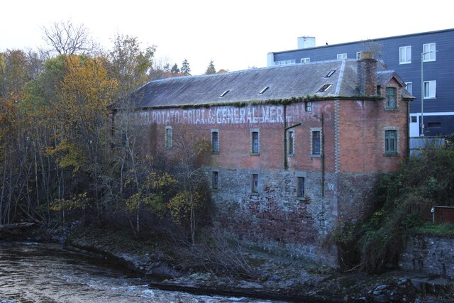
Images are sourced within 2km of 56.585/-3.36 or Grid Reference NO1644. Thanks to Geograph Open Source API. All images are credited.

Perth Street, Blairgowrie
Black Victorian Wallbox Black painted VR wallbox on the corner of the A93 Perth Road and A923 Dunkeld Road in Blairgowrie.
Black Victorian Wallbox
Black painted VR wallbox on the corner of the A93 Perth Road and A923 Dunkeld Road in Blairgowrie.
Blairgowrie Bowling Club Looking east from Lochy Terrace to the bowling green at Blairgowrie Bowling Club.
Blairgowrie Bowling Club
Looking east from Lochy Terrace to the bowling green at Blairgowrie Bowling Club.
OS Benchmark Bolt OS Benchmark bolt set into top of bridge wall on north side of road.
Ref: <span class="nowrap"><a title="https://www.bench-marks.org.uk/bm165606" rel="nofollow ugc noopener" href="https://www.bench-marks.org.uk/bm165606">Link</a><img style="margin-left:2px;" alt="External link" title="External link - shift click to open in new window" src="https://s1.geograph.org.uk/img/external.png" width="10" height="10"/></span>
OS Benchmark Bolt
OS Benchmark bolt set into top of bridge wall on north side of road. Ref: LinkExternal link
Obelisk Memorial Main inscription:
"To the dear memory
of
Allan McLaren Brown
of Marlee
who died in London 23 March 1889
His body rests
in Highgate Cemetery"
Obelisk Memorial
Main inscription: "To the dear memory of Allan McLaren Brown of Marlee who died in London 23 March 1889 His body rests in Highgate Cemetery"
River Ericht The River Ericht looking upstream towards Blairgowrie with the tower of the old Hill Church in the distance.
River Ericht
The River Ericht looking upstream towards Blairgowrie with the tower of the old Hill Church in the distance.
Weir on River Ericht at Blairgowrie
Corner of Alan Street and High Street, Blairgowrie
River Ericht, on A93 Bridge, Blairgowrie
Little's Fish Restaurant
River Ericht, A93 Bridge, Blairgowrie
Cargill's Leap
Cargill's Leap
Footpath near Cargills Leap
Footpath near River Ericht
View of River Ericht
Tannage Street, Blairgowrie The brick-built 19th century warehouse is Category C listed <span class="nowrap"><a title="https://portal.historicenvironment.scot/designation/LB49480" rel="nofollow ugc noopener" href="https://portal.historicenvironment.scot/designation/LB49480">Link</a><img style="margin-left:2px;" alt="External link" title="External link - shift click to open in new window" src="https://s1.geograph.org.uk/img/external.png" width="10" height="10"/></span>.
Tannage Street, Blairgowrie
The brick-built 19th century warehouse is Category C listed LinkExternal link.
River Ericht The river forms the boundary between Blairgowrie on the western side and Rattray on the east. Note the fish ladder on the left.
River Ericht
The river forms the boundary between Blairgowrie on the western side and Rattray on the east. Note the fish ladder on the left.
Warehouse beside the River Ericht 19th century brick-built warehouse beside the River Ericht. A painted ghost sign reads:

S C W S LTD POTATO FRUIT & GENERAL MERCHANTS

See <a href="https://www.geograph.org.uk/photo/7642797">NO1845 : Tannage Street, Blairgowrie</a> for a view of the other side of the Category C listed <span class="nowrap"><a title="https://portal.historicenvironment.scot/designation/LB49480" rel="nofollow ugc noopener" href="https://portal.historicenvironment.scot/designation/LB49480">Link</a><img style="margin-left:2px;" alt="External link" title="External link - shift click to open in new window" src="https://s1.geograph.org.uk/img/external.png" width="10" height="10"/></span> building.
Warehouse beside the River Ericht
19th century brick-built warehouse beside the River Ericht. A painted ghost sign reads: S C W S LTD POTATO FRUIT & GENERAL MERCHANTS See NO1845 : Tannage Street, Blairgowrie for a view of the other side of the Category C listed LinkExternal link building.
Show me another place!

Ardblair Castle is located at Grid Ref: NO1644 (Lat: 56.585, Lng: -3.36)

Unitary Authority: Perth and Kinross

Police Authority: Tayside

What 3 Words

///chainsaw.shark.chosen. Near Blairgowrie, Perth & Kinross

Related Wikis

Ardblair Castle

Ardblair Castle is an L-plan castle (with an added wing), dating from the 16th century, around 0.75 miles (1.21 km) west of Blairgowrie in Perth and Kinross...

Rae Loch

Rae Loch is a small lowland freshwater loch that sits directly to the east of Loch of Drumellie into which it flows and is 1.5 miles (2.4 km) to the west...

Blairgowrie Community Hospital

Blairgowrie Community Hospital is a health facility in Perth Road, Blairgowrie and Rattray, Scotland. It is managed by NHS Tayside. == History == The first...

Newton Castle

Newton Castle stands in its grounds near the town of Blairgowrie in Perth and Kinross, Scotland. It is a Category A listed building dating to the mid-16th...

Nearby Amenities

Located within 500m of 56.585,-3.36
Power: pole
Lat/Long: 56.5870553/-3.3534371
Power: pole
Lat/Long: 56.5869489/-3.3544054
Power: pole
Lat/Long: 56.5868165/-3.3556501
Material: wood
Power: pole
Lat/Long: 56.5866804/-3.3568993
Material: wood
Power: pole
Lat/Long: 56.5865567/-3.3581305
Material: wood
Power: pole
Lat/Long: 56.5864614/-3.3590989
Material: wood
Power: pole
Lat/Long: 56.5863612/-3.3600605
Material: wood
Power: pole
Lat/Long: 56.5862622/-3.3610445
Power: pole
Lat/Long: 56.5858292/-3.361768
Power: pole
Lat/Long: 56.5853912/-3.3624465
Power: pole
Lat/Long: 56.5867485/-3.3548997
Power: pole
Lat/Long: 56.5865777/-3.3550817
Power: pole
Lat/Long: 56.587969/-3.3657852
Power: pole
Lat/Long: 56.5876102/-3.3655425
Power: pole
Lat/Long: 56.5871994/-3.3653044
Power: pole
Lat/Long: 56.5868072/-3.3651718
Power: pole
Lat/Long: 56.586493/-3.3645629
Power: pole
Lat/Long: 56.5862344/-3.3639002
Power: pole
Lat/Long: 56.586154/-3.3626083
The data included in this document is from www.openstreetmap.org. The data is made available under ODbL.

Have you been to Ardblair Castle?

Leave your review of Ardblair Castle below (or comments, questions and feedback).