Foster Beds

Downs, Moorland in Cumberland Copeland

England

Foster Beds

East face of Pillar Crags of the east face of the large dome of Pillar: the crags, and more of them descend to the right into Pillar Cove.
The darkest crag at the right side of the image is Pillar Rock.
East face of Pillar Credit: Trevor Littlewood

Foster Beds, Cumberland, also known as Downs and Moorland, is a geological formation located in the county of Cumberland, England. It is a unique and diverse landscape renowned for its outstanding natural beauty and significant scientific interest.

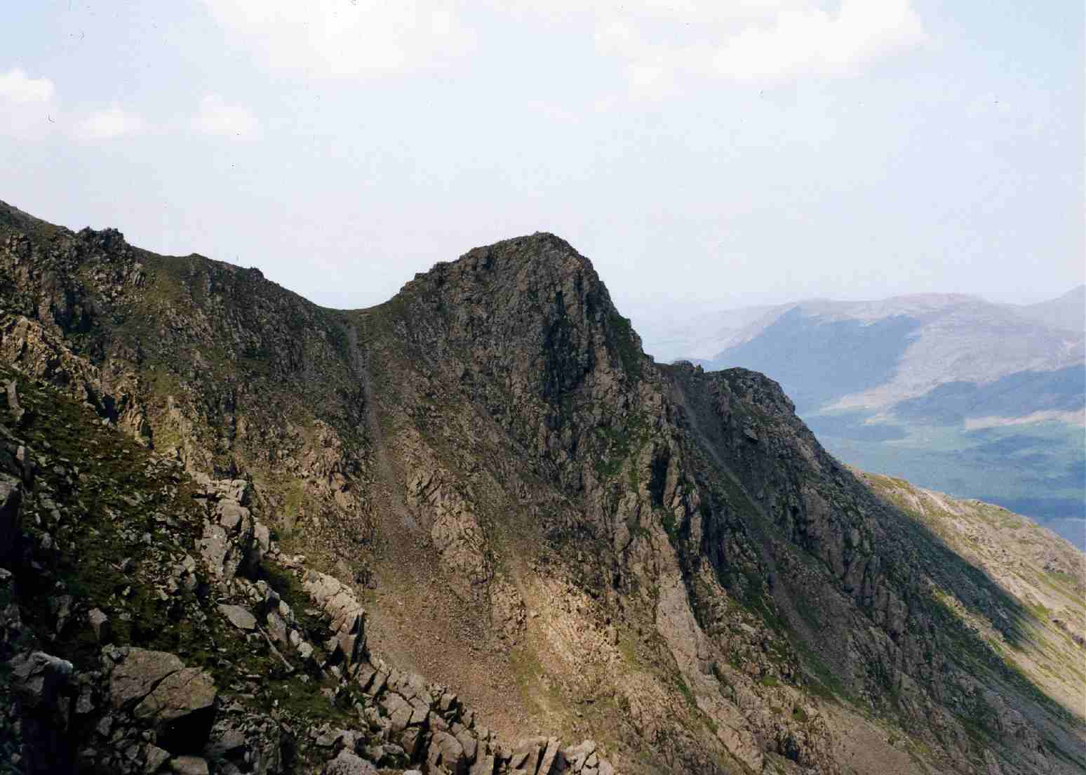
The area is characterized by its rolling hills, lush meadows, and picturesque valleys. It is home to a wide variety of flora and fauna, including rare and endangered species. The landscape is a mosaic of different habitats, such as wetlands, heathlands, and woodlands, providing a rich and diverse environment for wildlife.

Foster Beds, Cumberland, is also of great geological importance. The formation consists of a series of sedimentary rocks, including sandstones, shales, and limestones, which were deposited millions of years ago. These rocks preserve evidence of past environments and contain fossils that offer valuable insights into the Earth's history.

The area is a popular destination for outdoor enthusiasts and nature lovers. It offers numerous walking and hiking trails, allowing visitors to explore the stunning scenery and discover the wealth of wildlife that inhabits the region. Additionally, the site is a haven for birdwatchers, with a wide range of bird species, including rare and migratory ones, making it their home.

Foster Beds, Cumberland, is also an important site for conservation efforts. It is protected as a designated Area of Outstanding Natural Beauty and is managed by various organizations to preserve its unique ecosystems and geological features.

In conclusion, Foster Beds, Cumberland, is a remarkable geological formation and a haven for biodiversity. Its stunning landscapes, diverse habitats, and scientific significance make it a must-visit destination for anyone interested in nature, geology, or simply enjoying the beauty of the British countryside.

If you have any feedback on the listing, please let us know in the comments section below.

Foster Beds Images

Images are sourced within 2km of 54.482239/-3.292023 or Grid Reference NY1610. Thanks to Geograph Open Source API. All images are credited.

East face of Pillar Crags of the east face of the large dome of Pillar: the crags, and more of them descend to the right into Pillar Cove.
The darkest crag at the right side of the image is Pillar Rock.
East face of Pillar
Crags of the east face of the large dome of Pillar: the crags, and more of them descend to the right into Pillar Cove. The darkest crag at the right side of the image is Pillar Rock.
Fellwalkers on Little Scoat Fell The walkers on the upper slopes of Little Scoat Fell above Black Comb, looking across Mosedale to Great Gable and the Scafell Range.
Fellwalkers on Little Scoat Fell
The walkers on the upper slopes of Little Scoat Fell above Black Comb, looking across Mosedale to Great Gable and the Scafell Range.
Bridleway in Mosedale This bridleway in Mosedale leads up to the Black Sail Pass.
Bridleway in Mosedale
This bridleway in Mosedale leads up to the Black Sail Pass.
Gatherstone Beck Mountain stream above Mosedale with Looking Stead, part of Pillar in the background.
Gatherstone Beck
Mountain stream above Mosedale with Looking Stead, part of Pillar in the background.
View down into Mosedale View down into Mosedale and Wasdale Head from above Wistow Crags on Pillar.
View down into Mosedale
View down into Mosedale and Wasdale Head from above Wistow Crags on Pillar.
Pillar Cove Pillar Cove on the north-east side of Pillar high above Ennerdale. High Stile can be seen on the other side of the valley.
Pillar Cove
Pillar Cove on the north-east side of Pillar high above Ennerdale. High Stile can be seen on the other side of the valley.
Crags on Pillar Crags on Pillar above Ennerdale viewed from near the summit.
Crags on Pillar
Crags on Pillar above Ennerdale viewed from near the summit.
Cairn shelter on Pillar A cairn shelter on the plateau-like summit of Pillar.  Today the southerly wind is remarkably warm, so warm that it almost feels like being blasted by a large hairdryer.
Cairn shelter on Pillar
A cairn shelter on the plateau-like summit of Pillar. Today the southerly wind is remarkably warm, so warm that it almost feels like being blasted by a large hairdryer.
Trig point and cairn on summit of Pillar Not a conventional trig point but one constructed of rocks here on the summit of Pillar.  Here it is viewed from the south-east, the opposite direction to when I was last here in 2007 <a href="https://www.geograph.org.uk/photo/505255">NY1712 : Trig point and shelter, Pillar</a>.
Trig point and cairn on summit of Pillar
Not a conventional trig point but one constructed of rocks here on the summit of Pillar. Here it is viewed from the south-east, the opposite direction to when I was last here in 2007 NY1712 : Trig point and shelter, Pillar.
View down into Ennerdale View down into Ennerdale from the western slopes of Pillar.
View down into Ennerdale
View down into Ennerdale from the western slopes of Pillar.
View to the Scafells View to the Scafells from the cairn shelter on the summit of Pillar.
View to the Scafells
View to the Scafells from the cairn shelter on the summit of Pillar.
Little Scoat Fell Little Scoat Fell viewed from just below the summit of Pillar.
Little Scoat Fell
Little Scoat Fell viewed from just below the summit of Pillar.
Path heading up the Mosedale valley Path from Wasdale Head heading up the Mosedale valley
Path heading up the Mosedale valley
Path from Wasdale Head heading up the Mosedale valley
Mosedale Valley Looking up the Mosedale Valley with a  Herdwick Sheep stood on a boulder with the final path to Wind Gap visible in the distance
Mosedale Valley
Looking up the Mosedale Valley with a Herdwick Sheep stood on a boulder with the final path to Wind Gap visible in the distance
Valley of Mosedale Beck Mosedale is one of the two main side valleys branching from Wasdale at Wasdale Head; Mosedale apparently means dreary valley!
The mountain at the centre of the image is Pillar.
Valley of Mosedale Beck
Mosedale is one of the two main side valleys branching from Wasdale at Wasdale Head; Mosedale apparently means dreary valley! The mountain at the centre of the image is Pillar.
Yewbarrow View along the spine of Yewbarrow from the path ascending Pillar.  The lower end of Wastwater can be seen to the right.
Yewbarrow
View along the spine of Yewbarrow from the path ascending Pillar. The lower end of Wastwater can be seen to the right.
Bridleway heading down by Nether Beck Bridleway heading down by Nether Beck with Middle Fell in the distance
Bridleway heading down by Nether Beck
Bridleway heading down by Nether Beck with Middle Fell in the distance
Bridleway heading down by Nether Beck Bridleway heading down by Nether Beck with Middle Fell in the distance
Bridleway heading down by Nether Beck
Bridleway heading down by Nether Beck with Middle Fell in the distance
Show me another place!

Foster Beds is located at Grid Ref: NY1610 (Lat: 54.482239, Lng: -3.292023)

Administrative County: Cumbria

District: Copeland

Police Authority: Cumbria

What 3 Words

///acquaint.caveman.cupboards. Near Frizington, Cumbria

Nearby Locations

Foster Beds Red Pike

Related Wikis

Red Pike (Wasdale)

Red Pike is a fell in the English Lake District. It is 826 m or 2,709 ft high and lies due north of Wast Water. It is often climbed as part of the Mosedale...

Scoat Fell

Scoat Fell is a fell in the western part of the English Lake District. It stands at the head of the Mosedale Horseshoe with its back to Ennerdale. Paths...

Steeple (Lake District)

Steeple is a fell in the English Lake District. It is situated in the mountainous area between Ennerdale and Wasdale and reaches a height of 819 metres...

Pillar (Lake District)

Pillar is a mountain in the western part of the English Lake District. Situated between the valleys of Ennerdale to the north and Wasdale to the south...

Nearby Amenities

Located within 500m of 54.482239,-3.292023
Red Pike
Ele: 826
Natural: peak
Source: npe
Wikidata: Q7304724
Wikipedia: en:Red Pike (Wasdale)
Lat/Long: 54.4839164/-3.2898712
Foster Beds
Place: locality
Lat/Long: 54.482177/-3.2933296
The data included in this document is from www.openstreetmap.org. The data is made available under ODbL.

Have you been to Foster Beds?

Leave your review of Foster Beds below (or comments, questions and feedback).