Blyth Muir
Downs, Moorland in Peeblesshire
Scotland
Blyth Muir
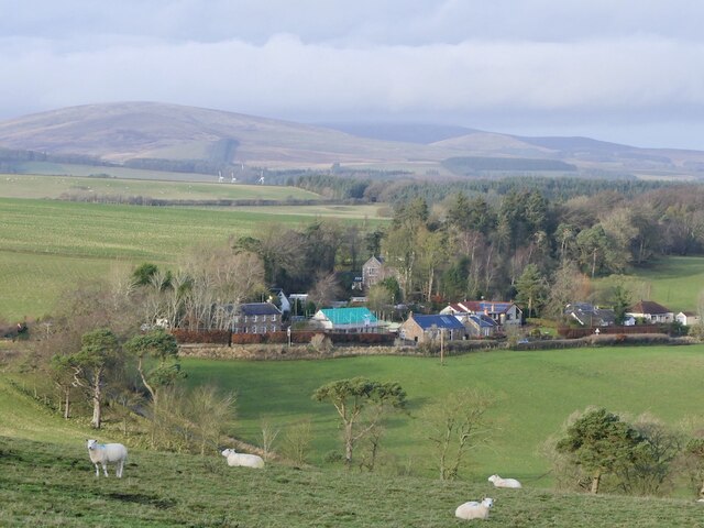
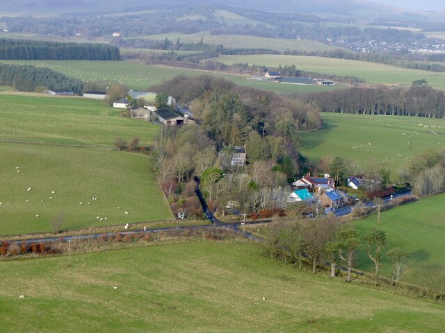
Blyth Muir is a picturesque area located in Peeblesshire, Scotland. Nestled amidst rolling hills, the region is renowned for its striking downs and moorland landscapes. Covering a vast area, Blyth Muir offers a diverse range of natural features and captivating views.
The downs of Blyth Muir are characterized by their gently sloping hills and expansive grasslands. These open spaces provide an ideal habitat for a variety of wildlife, including birds, small mammals, and numerous plant species. The downs also offer panoramic vistas, allowing visitors to immerse themselves in the tranquility of the surroundings.
Moorland is another prominent feature of Blyth Muir. This rugged terrain is characterized by heather-covered hills, peat bogs, and scattered clusters of trees. The moorland is a haven for birdwatching enthusiasts, as it attracts a wide array of avian species, including red grouse and golden plovers. The dramatic scenery of the moorland is further enhanced by the changing colors of the heather throughout the seasons.
Blyth Muir is a popular destination for outdoor activities such as hiking, cycling, and nature walks. The extensive network of trails allows visitors to explore the downs and moorland at their own pace, immersing themselves in the natural beauty of the area. The region also boasts several viewpoints and picnic spots, providing opportunities for relaxation and appreciation of the stunning surroundings.
Overall, Blyth Muir in Peeblesshire offers a captivating blend of downs and moorland landscapes, making it a must-visit destination for nature lovers and outdoor enthusiasts alike.
If you have any feedback on the listing, please let us know in the comments section below.
Blyth Muir Images
Images are sourced within 2km of 55.710679/-3.3836989 or Grid Reference NT1347. Thanks to Geograph Open Source API. All images are credited.


Blyth Muir is located at Grid Ref: NT1347 (Lat: 55.710679, Lng: -3.3836989)
Unitary Authority: The Scottish Borders
Police Authority: The Lothians and Scottish Borders
What 3 Words
///mouths.than.holly. Near West Linton, Scottish Borders
Nearby Locations
Related Wikis
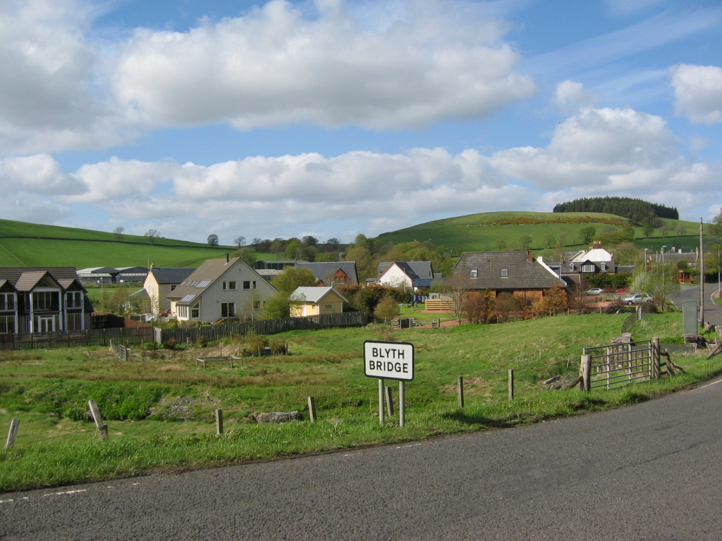
Blyth Bridge
Blyth Bridge is a small hamlet in the Scottish Borders area of Scotland, near to West Linton. It is located in a bend on the A701 which goes from Moffat...

Dolphinton railway station
Dolphinton (North British Railway) railway station served the village of Dolphinton, Lanarkshire, Scotland from 1864 to 1933 on the Leadburn, Linton and...
Dolphinton (CR) railway station
Dolphinton railway station served the village of Dolphinton, Lanarkshire, Scotland, from 1867 to 1945 on the Dolphinton branch. == History == The station...
Bordlands
Bordlands is a village in the Parish of Newlands in the Scottish Borders area of Scotland. The former name of Bordlands was Boreland. == See also == List...
Nearby Amenities
Located within 500m of 55.710679,-3.3836989Have you been to Blyth Muir?
Leave your review of Blyth Muir below (or comments, questions and feedback).