Blyth Muir

Hill, Mountain in Peeblesshire

Scotland

Blyth Muir

Mountain Cross With a Pentland backdrop.
Mountain Cross Credit: Richard Webb

Blyth Muir, located in Peeblesshire, Scotland, is a prominent hill that offers breathtaking views and outdoor recreational opportunities. Rising to an elevation of approximately 353 meters (1,158 feet), it is a popular destination for hikers, nature enthusiasts, and those seeking a peaceful escape.

Situated near the town of Peebles, Blyth Muir is easily accessible and attracts visitors from both locals and tourists. The hill is part of the wider Moorfoot Hills range, which is renowned for its stunning landscapes and diverse flora and fauna. As visitors ascend Blyth Muir, they are treated to panoramic vistas of the surrounding countryside, including the gentle rolling hills, the lush green valleys, and the winding River Tweed.

The hill is known for its well-maintained trails, making it an ideal spot for walkers and hikers of various skill levels. The paths are easily navigable and offer a chance to immerse oneself in the natural beauty of the area. During the spring and summer months, the hillside comes alive with vibrant wildflowers, adding bursts of color to the landscape.

Blyth Muir is also home to a wide range of wildlife, including birds such as buzzards and kestrels, as well as various species of butterflies. There are also occasional sightings of red deer and hares, adding to the charm of the area.

Overall, Blyth Muir is a picturesque hill in Peeblesshire that offers stunning views, well-marked trails, and a chance to connect with nature. Whether it is for a leisurely stroll, a challenging hike, or simply a moment of tranquility, Blyth Muir is a must-visit destination for nature lovers.

If you have any feedback on the listing, please let us know in the comments section below.
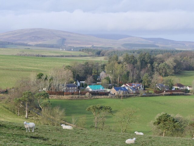
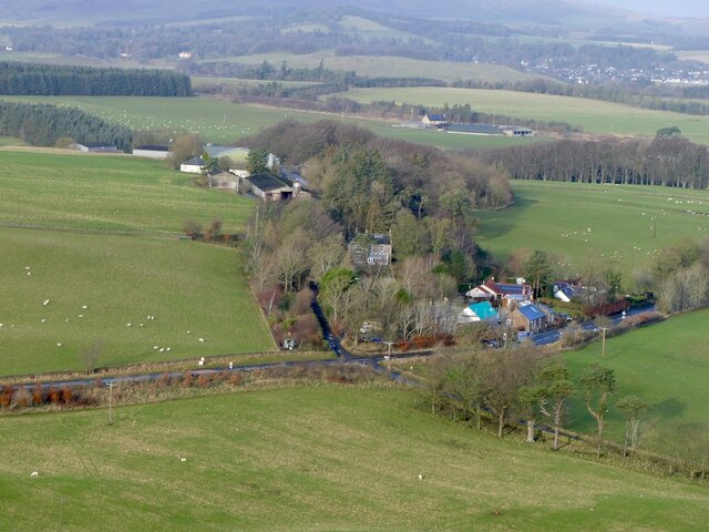
Blyth Muir Images

Images are sourced within 2km of 55.712608/-3.3807905 or Grid Reference NT1347. Thanks to Geograph Open Source API. All images are credited.

Mountain Cross With a Pentland backdrop.
Mountain Cross
With a Pentland backdrop.
Mountain Cross View from the Henderland Hill hillfort.
Mountain Cross
View from the Henderland Hill hillfort.
Parkneuk View from the Henderland Hill hillfort.
Parkneuk
View from the Henderland Hill hillfort.
Blythbank View from the Henderland Hill hillfort.
Blythbank
View from the Henderland Hill hillfort.
Blyth Farm Road
Blyth Farm Road
Blyth Farm A very large new cattle shed, built on this site in 2019 <a href="https://www.geograph.org.uk/photo/590557">NT1345 : Blyth</a>
Blyth Farm
A very large new cattle shed, built on this site in 2019 NT1345 : Blyth
Delivery, Blyth Bridge A tricky job in the weather.  Later a lorry was assisted out of the farmyard by a tractor with a round bale on a front loader.
The signs are a total waste of money. The road ends at the cottages behind the supermarket van (but continues as a farm track - The Old Coach Road).
Delivery, Blyth Bridge
A tricky job in the weather. Later a lorry was assisted out of the farmyard by a tractor with a round bale on a front loader. The signs are a total waste of money. The road ends at the cottages behind the supermarket van (but continues as a farm track - The Old Coach Road).
The Old Coach Road, Blyth Bridge The end of the public road, a few metres after a national speed limit sign. The lorry had been assisted out of the farmyard by pushing with a round bale  on a tractor's front loader.
The Old Coach Road, Blyth Bridge
The end of the public road, a few metres after a national speed limit sign. The lorry had been assisted out of the farmyard by pushing with a round bale on a tractor's front loader.
The Old Coach Road, Blyth
Gate, Old Coach Road
Quarries, Blyth Muir Sandstone quarries, one shown as still working on mid 19th century maps.
Quarries, Blyth Muir
Sandstone quarries, one shown as still working on mid 19th century maps.
Old Coach Road, Blyth The pipeline has been there since the aqueduct refurbishment in 2014. <a href="https://www.geograph.org.uk/photo/4582015">NT1346 : Pipeline work, Blyth</a>
Old Coach Road, Blyth
The pipeline has been there since the aqueduct refurbishment in 2014. NT1346 : Pipeline work, Blyth
Blyth Bank Hill Sunshine on fresh snow.
Blyth Bank Hill
Sunshine on fresh snow.
View towards Blyth Hill
Sheep, Blyth The leftover pipeline sections have been here since 2014.
Sheep, Blyth
The leftover pipeline sections have been here since 2014.
Clearing snow, Blyth Clearing a road in the vast free range poultry farm on Blyth Moor.
Clearing snow, Blyth
Clearing a road in the vast free range poultry farm on Blyth Moor.
Summit, Blyth Bank Hill
View from Blyth Bank Hill From the small hill fort towards Black Mount and the bigger fort on Blyth Hill.
View from Blyth Bank Hill
From the small hill fort towards Black Mount and the bigger fort on Blyth Hill.
Show me another place!

Blyth Muir is located at Grid Ref: NT1347 (Lat: 55.712608, Lng: -3.3807905)

Unitary Authority: The Scottish Borders

Police Authority: The Lothians and Scottish Borders

What 3 Words

///perkily.gosh.disprove. Near West Linton, Scottish Borders

Nearby Locations

Blyth Muir Blyth Muir

Related Wikis

Dolphinton railway station

Dolphinton (North British Railway) railway station served the village of Dolphinton, Lanarkshire, Scotland from 1864 to 1933 on the Leadburn, Linton and...
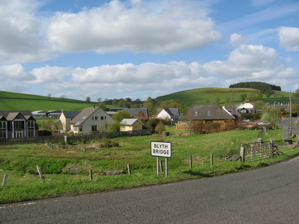
Blyth Bridge

Blyth Bridge is a small hamlet in the Scottish Borders area of Scotland, near to West Linton. It is located in a bend on the A701 which goes from Moffat...

Dolphinton (CR) railway station

Dolphinton railway station served the village of Dolphinton, Lanarkshire, Scotland, from 1867 to 1945 on the Dolphinton branch. == History == The station...

Bordlands

Bordlands is a village in the Parish of Newlands in the Scottish Borders area of Scotland. The former name of Bordlands was Boreland. == See also == List...

Nearby Amenities

Located within 500m of 55.712608,-3.3807905
Blyth Muir
Ele: 310
Natural: peak
Lat/Long: 55.7122215/-3.3805264
Power: pole
Lat/Long: 55.7088503/-3.3773595
Power: pole
Lat/Long: 55.7091286/-3.3787344
Power: pole
Lat/Long: 55.7094117/-3.3800695
Power: pole
Lat/Long: 55.7115638/-3.3736467
Power: pole
Lat/Long: 55.7121323/-3.3747063
Power: pole
Lat/Long: 55.712728/-3.3758079
The data included in this document is from www.openstreetmap.org. The data is made available under ODbL.

Have you been to Blyth Muir?

Leave your review of Blyth Muir below (or comments, questions and feedback).