Woolston Moor

Downs, Moorland in Somerset Somerset West and Taunton

England

Woolston Moor

Williton Union Workhouse Converted to flats.
Williton Union Workhouse Credit: Roger Cornfoot

The requested URL returned error: 429 Too Many Requests

If you have any feedback on the listing, please let us know in the comments section below.

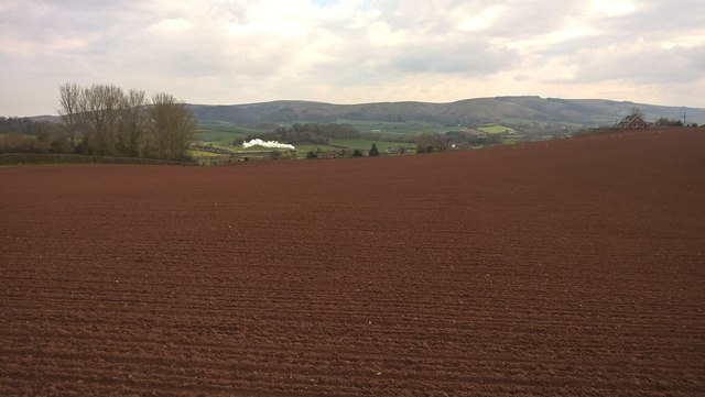
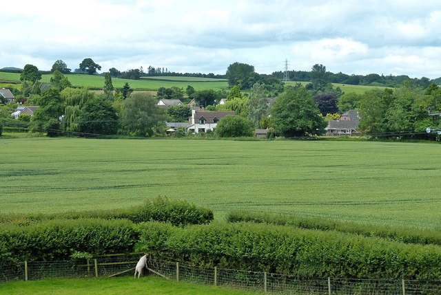
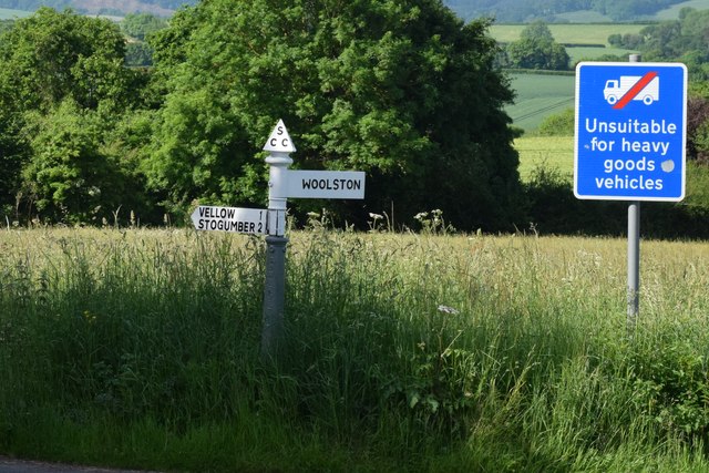
Woolston Moor Images

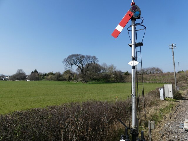
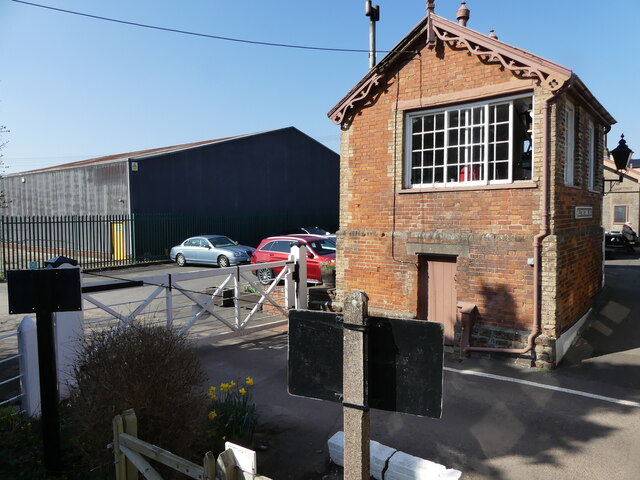
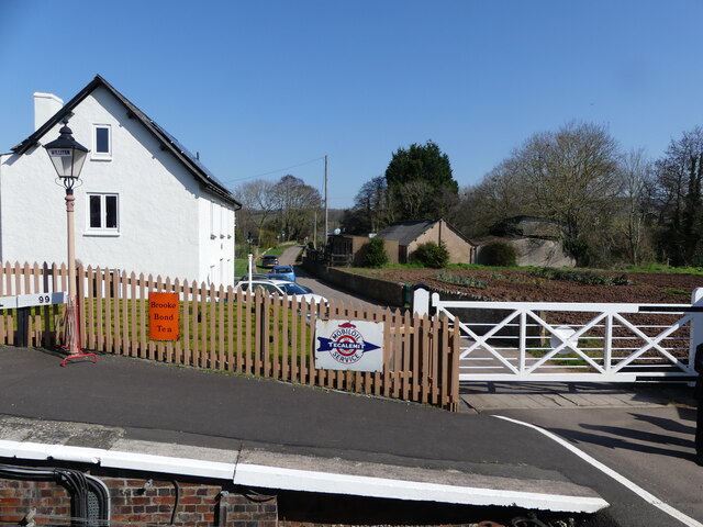
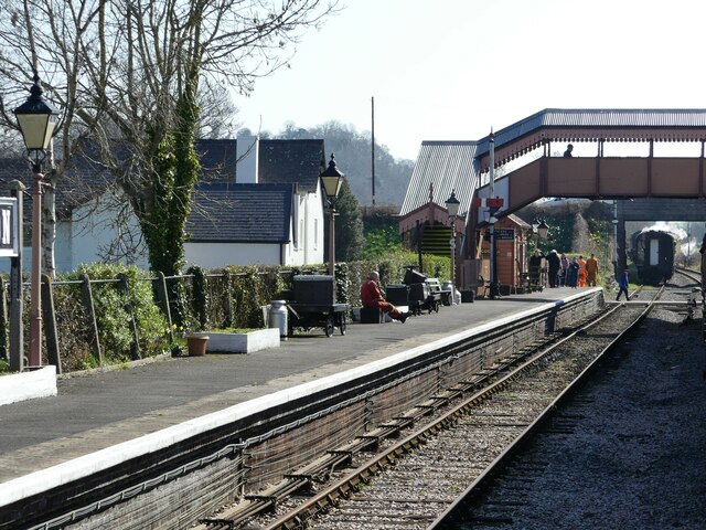
Images are sourced within 2km of 51.152703/-3.2931618 or Grid Reference ST0940. Thanks to Geograph Open Source API. All images are credited.

Williton Union Workhouse Converted to flats.
Williton Union Workhouse
Converted to flats.
Williton Union Workhouse Converted to housing, in the 1990's.
Williton Union Workhouse
Converted to housing, in the 1990's.
The Railway Inn, Williton
The A358 passes below the West Somerset Railway, Sampford Brett
Semaphore signal on the West Somerset Railway approaching Williton The view is seen from a train heading to Minehead.  The embankment in the background carries the A39 road.
Semaphore signal on the West Somerset Railway approaching Williton
The view is seen from a train heading to Minehead. The embankment in the background carries the A39 road.
Signal box, Williton station on the West Somerset Railway The view is taken from a train heading for Minehead.
Signal box, Williton station on the West Somerset Railway
The view is taken from a train heading for Minehead.
The end of the platform, and level crossing, Williton station  The view was taken from a train heading for Minehead on the West Somerset Railway.
The end of the platform, and level crossing, Williton station
The view was taken from a train heading for Minehead on the West Somerset Railway.
The footbridge at Williton station on the West Somerset Railway The photo was taken from a train heading for Minehead.  In the distance is the end carriage of a train heading back to Bishops Lydeard.
The footbridge at Williton station on the West Somerset Railway
The photo was taken from a train heading for Minehead. In the distance is the end carriage of a train heading back to Bishops Lydeard.
Double-headed 'Gala' train arrives at Williton
Rare Caledonian visitor to the West Somerset Railway
2857 runs round its train, at Williton
Arrival from Minehead
Williton village sign on the A39 west
Ordnance Survey Cut Mark This OS cut mark can be found on the signal box at the level crossing. It marks a point 23.150m above mean sea level.
Ordnance Survey Cut Mark
This OS cut mark can be found on the signal box at the level crossing. It marks a point 23.150m above mean sea level.
The Bartholomew Thomas Almshouses, Woolston Built in 1904... very recent for almshouses.
The Bartholomew Thomas Almshouses, Woolston
Built in 1904... very recent for almshouses.
Steam train and Quantocks from the footpath to Capton A perfect walk home with only the whistle of a train and the distant sound of a tractor to be heard.
Steam train and Quantocks from the footpath to Capton
A perfect walk home with only the whistle of a train and the distant sound of a tractor to be heard.
Towards Woolston Woolston and the fertile West Country farmland, viewed from the West Somerset Railway.
Towards Woolston
Woolston and the fertile West Country farmland, viewed from the West Somerset Railway.
SCC Fingerpost at Wooston Moor New detail submitted to Milestone Society.
SCC Fingerpost at Wooston Moor
New detail submitted to Milestone Society.
Show me another place!

Woolston Moor is located at Grid Ref: ST0940 (Lat: 51.152703, Lng: -3.2931618)

Administrative County: Somerset

District: Somerset West and Taunton

Police Authority: Avon and Somerset

What 3 Words

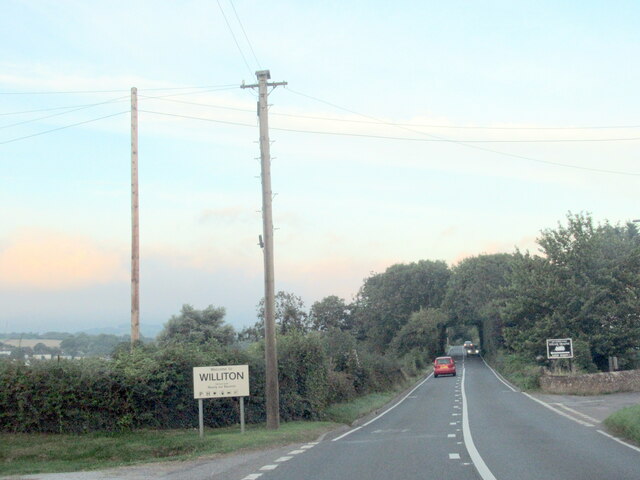
///issued.hardback.units. Near Williton, Somerset

Related Wikis

Church of St George, Sampford Brett

The Anglican Church of St George in Sampford Brett, Somerset, England was built around 1300. It is a Grade II* listed building. == History == The parish...

Sampford Brett

Sampford Brett is a village and civil parish situated at the south-western edge of the Quantock Hills, Somerset, England, less than 1 mile (1.6 km) south...

Bicknoller

Bicknoller is a village and civil parish on the western slopes of the Quantock Hills in the English county of Somerset. Administratively, the civil parish...

Williton

Williton is a large village and civil parish in Somerset, England, at the junction of the A39, A358 and B3191 roads, on the coast 2 miles (3.2 km) south...

Nearby Amenities

Located within 500m of 51.152703,-3.2931618
Barrier: stile
Lat/Long: 51.1518703/-3.2995265
Post Box
Brand: Royal Mail
Brand Wikidata: Q638098
Drive Through: no
Operator: Royal Mail
Operator Wikidata: Q638098
Post Box Type: wall
Ref: TA4 149
Lat/Long: 51.150889/-3.293588
Woolston
Is In: Somerset, England, United Kingdom
Place: hamlet
Wikidata: Q21208557
Lat/Long: 51.1509438/-3.2936202
Board Type: notice
Information: board
Lat/Long: 51.1508914/-3.293588
Crossing: uncontrolled
Crossing Barrier: no
Railway: level_crossing
Supervised: no
Lat/Long: 51.1523974/-3.2965705
Bus Stop
Woolston Moor
Bus: yes
Naptan AtcoCode: 3600SOA10136
Naptan Bearing: SE
Naptan CommonName: Woolston Moor
Naptan Indicator: SE-bound
Naptan NaptanCode: sotadwdm
Naptan Verified: no
Public Transport: platform
Lat/Long: 51.1521386/-3.2879997
Bus Stop
Woolston Moor
Bus: yes
Naptan AtcoCode: 3600SOA10135
Naptan Bearing: NW
Naptan CommonName: Woolston Moor
Naptan Indicator: NW-bound
Naptan NaptanCode: sotadwdg
Naptan Street: A358
Naptan Verified: no
Public Transport: platform
Lat/Long: 51.15251/-3.2888842
Power: pole
Lat/Long: 51.1567472/-3.2901519
Power: pole
Lat/Long: 51.1559831/-3.2888689
Power: pole
Lat/Long: 51.1552397/-3.2876097
The data included in this document is from www.openstreetmap.org. The data is made available under ODbL.

Have you been to Woolston Moor?

Leave your review of Woolston Moor below (or comments, questions and feedback).