Braehour
Downs, Moorland in Caithness
Scotland
Braehour
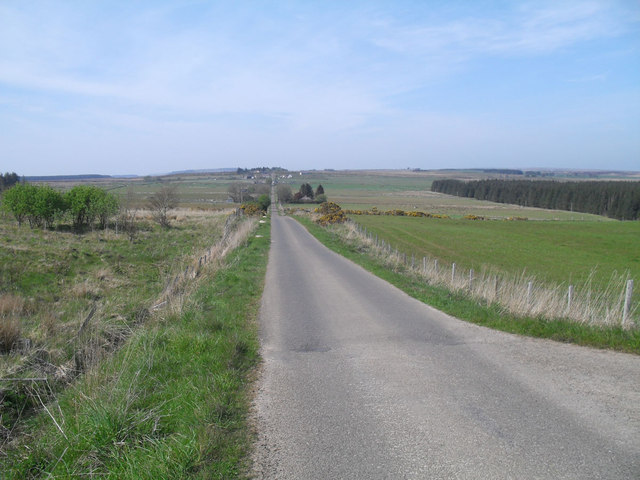
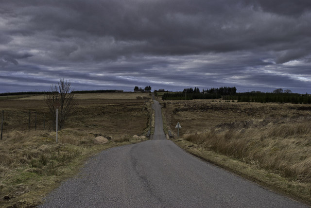
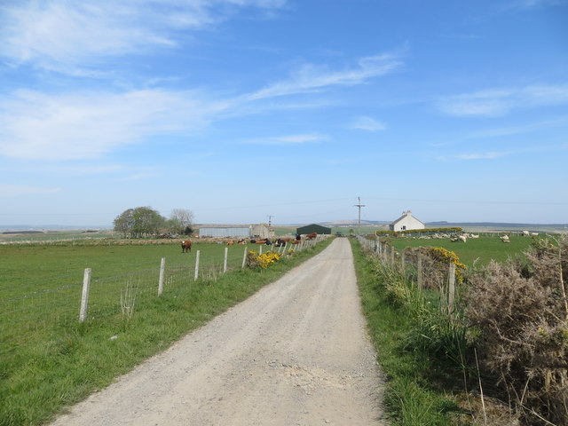
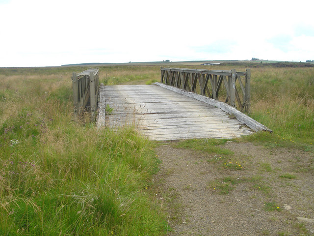
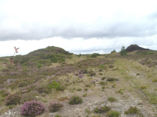
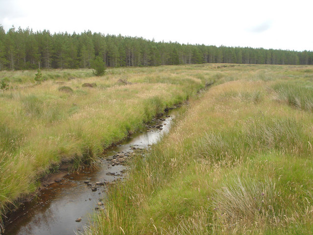
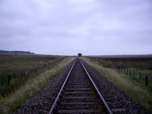
Braehour is a picturesque region located in Caithness, a historic county in the Highland region of Scotland. Situated amidst the stunning landscape of Downs and Moorland, Braehour offers an idyllic setting for nature lovers and outdoor enthusiasts alike.
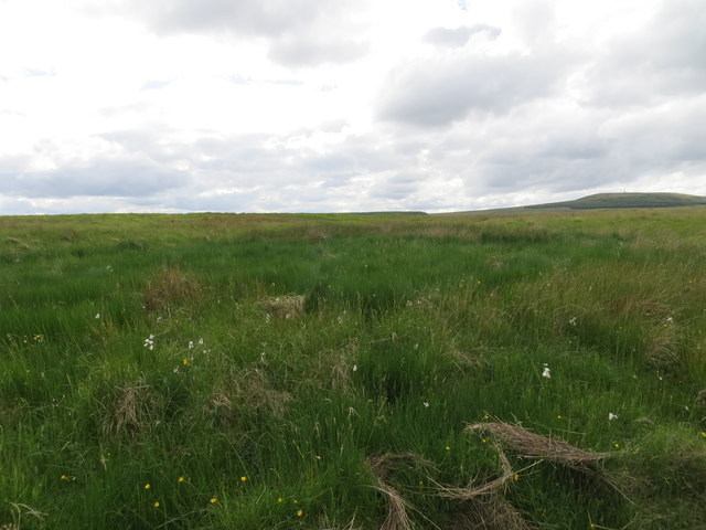
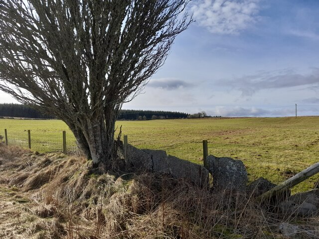
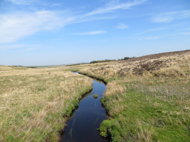
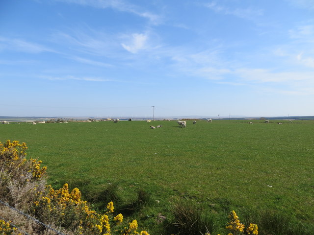
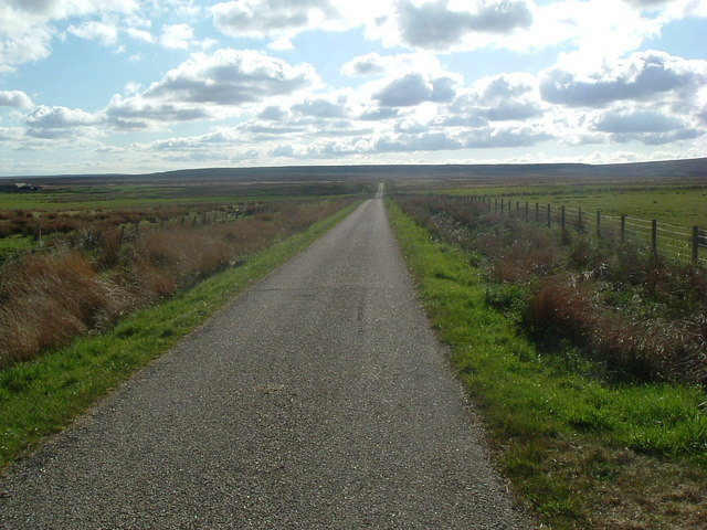
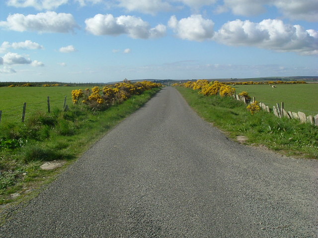
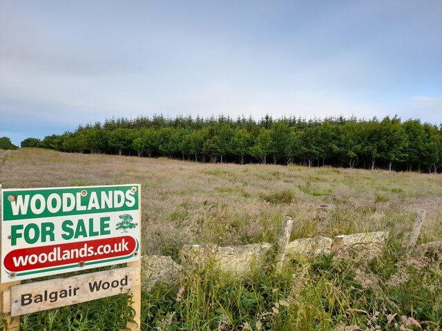
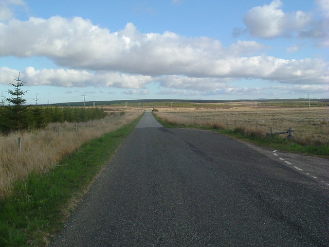
The area is characterized by its rolling hills, vast open spaces, and breathtaking panoramic views. The Downs of Braehour provide a gentle terrain, covered in lush grasses and dotted with wildflowers during the summer months. This makes it a perfect spot for leisurely walks or picnics, allowing visitors to immerse themselves in the tranquility of the surrounding nature.
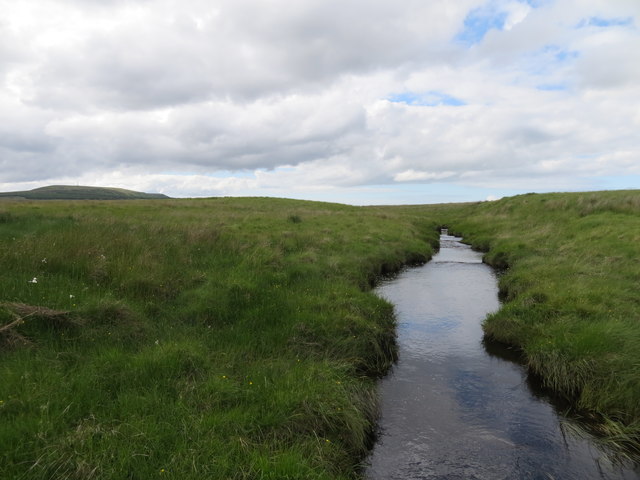
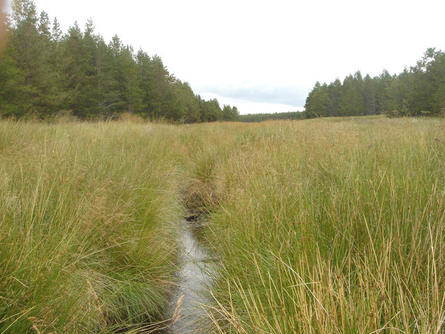
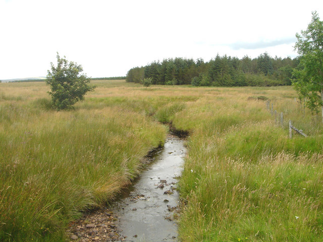
Moorland, on the other hand, adds a touch of ruggedness to the landscape of Braehour. It is characterized by its heather-covered expanses and scattered rocky outcrops. Moorland offers a unique habitat for various flora and fauna, including iconic wildlife such as red grouse and mountain hares. The vastness of the moorland also provides an excellent opportunity for hikers and birdwatchers to explore and spot rare species.
Braehour is known for its unpredictable weather conditions, with frequent changes in wind patterns and occasional misty mornings. Visitors are advised to come prepared with appropriate clothing and footwear.
Overall, Braehour, Caithness (Downs, Moorland) is a captivating region that showcases the raw beauty of the Scottish Highlands. Whether one seeks peaceful walks, wildlife encounters, or breathtaking vistas, this area offers a truly unforgettable experience for all who venture into its untamed wilderness.
If you have any feedback on the listing, please let us know in the comments section below.
Braehour Images
Images are sourced within 2km of 58.459242/-3.5504031 or Grid Reference ND0953. Thanks to Geograph Open Source API. All images are credited.
Braehour is located at Grid Ref: ND0953 (Lat: 58.459242, Lng: -3.5504031)
Unitary Authority: Highland
Police Authority: Highlands and Islands
What 3 Words
///biggest.tastes.yummy. Near Halkirk, Highland
Nearby Locations
Related Wikis

Olgrinmore
Olgrinmore is a small area in Halkirk, Northern Scotland, south of Thurso and John o' Groats. The B870 runs directly through the centre with Scotscalder...
Scotscalder
Scots Calder is an area within Halkirk, Northern Scotland. It is served by Scotscalder railway station which is operated by ScotRail. The B870 runs directly...

Scotscalder railway station
Scotscalder railway station is a railway station located in the Highland council area in the far north of Scotland. It serves several rural hamlets in...
Dorrery
Dorrery is a small hamlet lying to the east of Ben Dorrery in the district of Halkirk in Caithness, Scottish Highlands and is in the Scottish council...

Battle of Harpsdale
The Battle of Harpsdale (Battle of Achardale, Battle of Harpasdal) was a Scottish clan battle fought in 1426 at Achardale, about 8 miles (13 km) south...
Westerdale, Highland
Westerdale (Scottish Gaelic: An Dail Shuas) is a scattered crofting village which lies on the River Thurso, located five miles (eight kilometres) directly...

Ca na Catanach
Ca na Catanach (translation: "Sutherland Men's Path") is a road and footpath between Sutherland and Caithness through the moorland in the northeastern...

Tormsdale
Tormsdale is a megalithic site on the banks of the River Thurso, in Caithness, Scotland. It is 3 kilometres (1.9 mi) south of Westerdale. The site consists...
Nearby Amenities
Located within 500m of 58.459242,-3.5504031Have you been to Braehour?
Leave your review of Braehour below (or comments, questions and feedback).