Castle Wood

Wood, Forest in Somerset Somerset West and Taunton

England

Castle Wood

Former quarry face, Woolston See also <a href="https://www.geograph.org.uk/photo/4094973">ST0940 : The former Woolston Quarry [Bunter sandstone]</a>; as Christine remarks this appears to be sandstone, yet old maps show lime kilns nearby. An online source <span class="nowrap"><a title="https://geologistsassociation.org.uk/gashopnewlayout/ga-guide-66_the-geology-of-watchet-and-its-neighbourhood-somerset/" rel="nofollow ugc noopener" href="https://geologistsassociation.org.uk/gashopnewlayout/ga-guide-66_the-geology-of-watchet-and-its-neighbourhood-somerset/">Link</a><img style="margin-left:2px;" alt="External link" title="External link - shift click to open in new window" src="https://s1.geograph.org.uk/img/external.png" width="10" height="10"/></span> explains that red Triassic sandstone pebble beds can be seen in Woolston Quarry but carboniferous limestone is found within the same quarry.
Former quarry face, Woolston Credit: Stephen Craven

Castle Wood is a picturesque woodland area located in Somerset, England. Situated near the village of Castle Cary, this enchanting forest covers an area of approximately 200 acres and is a popular destination for nature lovers and outdoor enthusiasts.

The woodland is characterized by its diverse range of tree species, including oak, beech, ash, and birch, which provide a stunning display of colors throughout the seasons. The forest floor is adorned with a rich carpet of wildflowers, creating a vibrant and peaceful atmosphere.

Castle Wood is home to an abundance of wildlife, making it a haven for nature enthusiasts. Visitors may catch a glimpse of deer, badgers, foxes, and a variety of bird species, including owls and woodpeckers. The tranquil setting also attracts a wide array of butterflies and insects, adding to the biodiversity of the area.

For those seeking outdoor activities, Castle Wood offers a network of well-maintained footpaths and trails, allowing visitors to explore the woodland at their own pace. The paths wind through the forest, providing stunning views of the surrounding countryside. The area is also popular among birdwatchers, who can spot a multitude of species in their natural habitat.

In addition to its natural beauty, Castle Wood is historically significant. The woodland is said to have been part of the hunting grounds of Castle Cary Castle, a medieval fortress that once stood nearby. Remnants of the castle can still be seen, adding a touch of intrigue and history to the woodland experience.

Overall, Castle Wood is a captivating destination that offers a tranquil escape into nature, with its stunning landscapes, diverse wildlife, and historical significance.

If you have any feedback on the listing, please let us know in the comments section below.

Castle Wood Images

Images are sourced within 2km of 51.158098/-3.3012779 or Grid Reference ST0940. Thanks to Geograph Open Source API. All images are credited.

Former quarry face, Woolston See also <a href="https://www.geograph.org.uk/photo/4094973">ST0940 : The former Woolston Quarry [Bunter sandstone]</a>; as Christine remarks this appears to be sandstone, yet old maps show lime kilns nearby. An online source <span class="nowrap"><a title="https://geologistsassociation.org.uk/gashopnewlayout/ga-guide-66_the-geology-of-watchet-and-its-neighbourhood-somerset/" rel="nofollow ugc noopener" href="https://geologistsassociation.org.uk/gashopnewlayout/ga-guide-66_the-geology-of-watchet-and-its-neighbourhood-somerset/">Link</a><img style="margin-left:2px;" alt="External link" title="External link - shift click to open in new window" src="https://s1.geograph.org.uk/img/external.png" width="10" height="10"/></span> explains that red Triassic sandstone pebble beds can be seen in Woolston Quarry but carboniferous limestone is found within the same quarry.
Former quarry face, Woolston
See also ST0940 : The former Woolston Quarry [Bunter sandstone]; as Christine remarks this appears to be sandstone, yet old maps show lime kilns nearby. An online source LinkExternal link explains that red Triassic sandstone pebble beds can be seen in Woolston Quarry but carboniferous limestone is found within the same quarry.
New dutch barn near Woolston This isn't shown on even recent maps but the latest aerial imagery on Google Maps shows it in construction.
New dutch barn near Woolston
This isn't shown on even recent maps but the latest aerial imagery on Google Maps shows it in construction.
The A358 at Sampford Brett Looking west from the railway bridge.  Compare <a href="https://www.geograph.org.uk/photo/5027878">ST0940 : The A358</a>.
The A358 at Sampford Brett
Looking west from the railway bridge. Compare ST0940 : The A358.
Signal south of Williton station The signal is part way along a single track section between stations, which is unusual.
Signal south of Williton station
The signal is part way along a single track section between stations, which is unusual.
Station Road level crossing and Williton signal box The signal box dates from the opening of the line in 1862 and is grade II listed (list entry 1174890). Unlike most such boxes on the national network, it is still in use by the preserved WSR, who claim it as "the only working example of a Bristol and Exeter Railway still in use".
Station Road level crossing and Williton signal box
The signal box dates from the opening of the line in 1862 and is grade II listed (list entry 1174890). Unlike most such boxes on the national network, it is still in use by the preserved WSR, who claim it as "the only working example of a Bristol and Exeter Railway still in use".
Williton station, up platform The station is a passing point on the mainly single track West Somerset Railway, so it has two platforms.
Williton station, up platform
The station is a passing point on the mainly single track West Somerset Railway, so it has two platforms.
Williton diesel depot Not many preserved railways have a dedicated diesel depot, but this one has a larger collection of diesel (rather than steam) trains than most. On shed here is 'Hymek' class no. D7017.
Williton diesel depot
Not many preserved railways have a dedicated diesel depot, but this one has a larger collection of diesel (rather than steam) trains than most. On shed here is 'Hymek' class no. D7017.
Williton diesel depot - wagons with crane The West Somerset Railway (WSR) is a railway line that originally linked Taunton and Watchet. It opened in 1862 and was extended from Watchet to Minehead by the Minehead Railway in 1874. It was closed in 1971 but was then reopened in 1976 as a heritage railway.
At 22.75 miles, it is the longest privately owned passenger rail line in the country, however services normally only operate on the 19.5 miles between Bishops Lydeard and Minehead. 
Wikipedia: <span class="nowrap"><a title="http://en.wikipedia.org/wiki/West_Somerset_Railway" rel="nofollow ugc noopener" href="http://en.wikipedia.org/wiki/West_Somerset_Railway">Link</a><img style="margin-left:2px;" alt="External link" title="External link - shift click to open in new window" src="https://s1.geograph.org.uk/img/external.png" width="10" height="10"/></span> 
Website: <span class="nowrap"><a title="http://www.west-somerset-railway.co.uk/" rel="nofollow ugc noopener" href="http://www.west-somerset-railway.co.uk/">Link</a><img style="margin-left:2px;" alt="External link" title="External link - shift click to open in new window" src="https://s1.geograph.org.uk/img/external.png" width="10" height="10"/></span>
Williton diesel depot - wagons with crane
The West Somerset Railway (WSR) is a railway line that originally linked Taunton and Watchet. It opened in 1862 and was extended from Watchet to Minehead by the Minehead Railway in 1874. It was closed in 1971 but was then reopened in 1976 as a heritage railway. At 22.75 miles, it is the longest privately owned passenger rail line in the country, however services normally only operate on the 19.5 miles between Bishops Lydeard and Minehead. Wikipedia: LinkExternal link Website: LinkExternal link
Former GWR shed at Williton This corrugated metal shed with steel framing, now housing railway stock under restoration, was re-erected here in 1992 from its original home in the Great Western Railway's Swindon works where it was first erected in 1899.  It's unusual for a relocated building, or one of this type, to be listed, but it is indeed given grade II status (list entry 1241069) as "a remarkably well preserved and very early example of a steel-framed all-metal building".
Former GWR shed at Williton
This corrugated metal shed with steel framing, now housing railway stock under restoration, was re-erected here in 1992 from its original home in the Great Western Railway's Swindon works where it was first erected in 1899. It's unusual for a relocated building, or one of this type, to be listed, but it is indeed given grade II status (list entry 1241069) as "a remarkably well preserved and very early example of a steel-framed all-metal building".
Steam meets diesel at Williton A steam-hauled train heading for Bishop's Lydeard approaches Williton sidings where a diesel multiple unit is stabled.
Steam meets diesel at Williton
A steam-hauled train heading for Bishop's Lydeard approaches Williton sidings where a diesel multiple unit is stabled.
Horse jumps at Williton The 'iron horse' is not the only variety to be seen from the West Somerset Railway.
Horse jumps at Williton
The 'iron horse' is not the only variety to be seen from the West Somerset Railway.
Turning for North Street
Former print works, Williton
Williton Fire Station
North Croft
North Croft
St Peters primary school, Williton
New estate on the edge of Williton
West Somerset Coast Path A long way from the coast!
West Somerset Coast Path
A long way from the coast!
Show me another place!

Castle Wood is located at Grid Ref: ST0940 (Lat: 51.158098, Lng: -3.3012779)

Administrative County: Somerset

District: Somerset West and Taunton

Police Authority: Avon and Somerset

What 3 Words

///cherished.polished.hunt. Near Williton, Somerset

Related Wikis

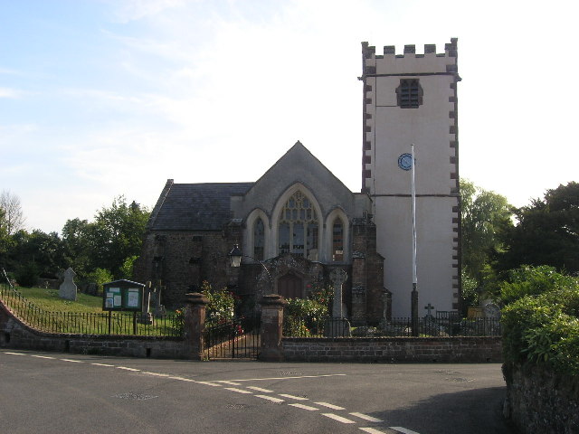
Church of St George, Sampford Brett

The Anglican Church of St George in Sampford Brett, Somerset, England was built around 1300. It is a Grade II* listed building. == History == The parish...

Sampford Brett

Sampford Brett is a village and civil parish situated at the south-western edge of the Quantock Hills, Somerset, England, less than 1 mile (1.6 km) south...

Williton

Williton is a large village and civil parish in Somerset, England, at the junction of the A39, A358 and B3191 roads, on the coast 2 miles (3.2 km) south...

Williton Rural District

Williton was a rural district in Somerset, England, from 1894 to 1974. It was created in 1894 under the Local Government Act 1894. In 1974 it was abolished...

Williton railway station

Williton railway station in Williton, Somerset, England, was opened by the West Somerset Railway in 1862 and closed by British Rail in 1971. It was reopened...

Battlegore Burial Chamber

Battlegore Burial Chamber is a Bronze Age burial chamber located in Williton, Somerset. It is composed of three round barrows and possibly a long, chambered...
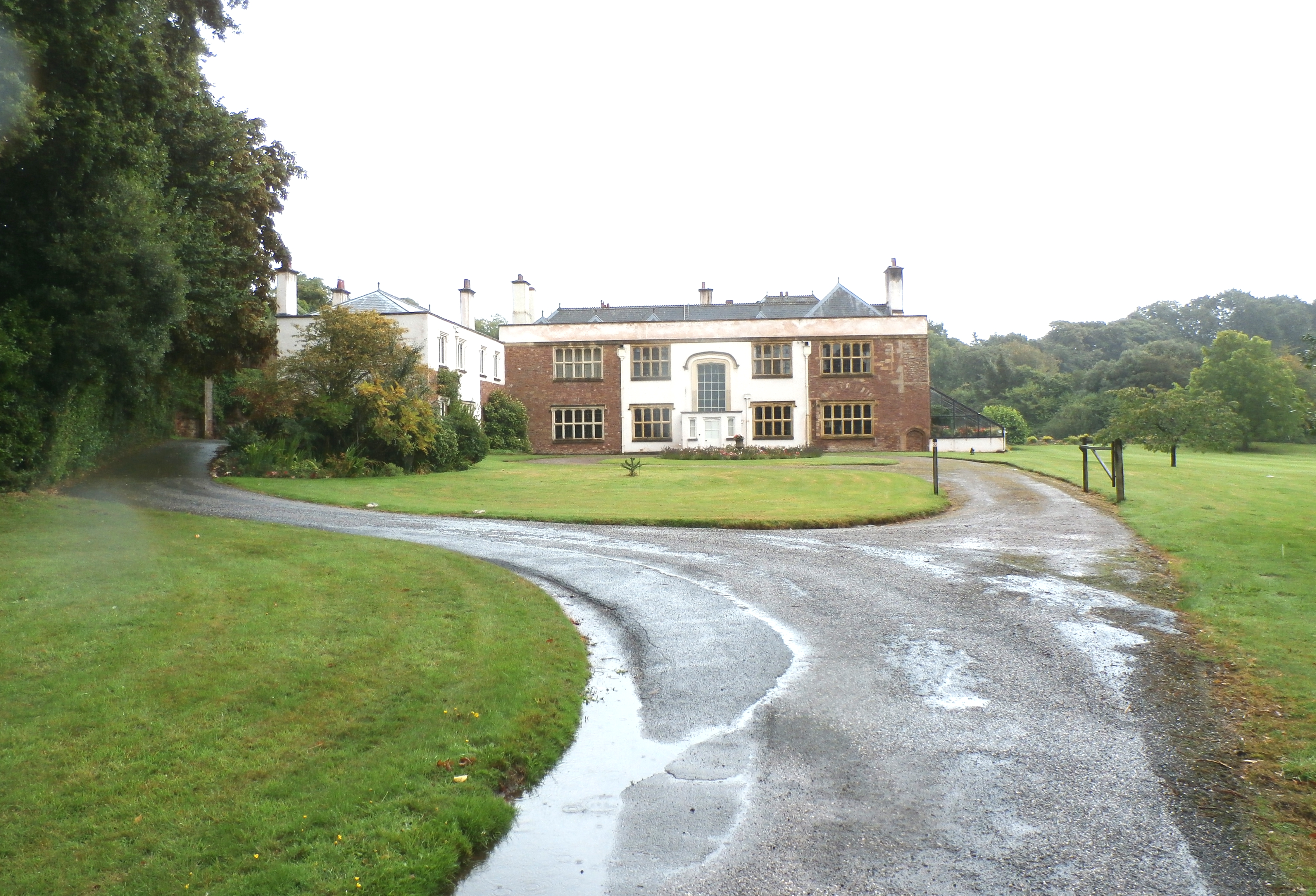
Orchard Wyndham

Orchard Wyndham is a historic manor near Williton in Somerset, centred on the synonymous grade I listed manor house of Orchard Wyndham that was situated...

Bicknoller

Bicknoller is a village and civil parish on the western slopes of the Quantock Hills in the English county of Somerset. Administratively, the civil parish...

Nearby Amenities

Located within 500m of 51.158098,-3.3012779
Railway: crossing
Lat/Long: 51.1601948/-3.3032337
Give Way
Direction: forward
Lat/Long: 51.1552989/-3.301511
Operator: West Somerset Railway Association
Railway: signal
Lat/Long: 51.1564269/-3.3011086
Direction: forward
Maxspeed: 50 mph
Maxspeed Type: GB:nsl_restricted
Side: both
Source Maxspeed: sign
Traffic Sign: maxspeed
Lat/Long: 51.155224/-3.3015069
Fuel
Quantock Filling Station
Addr City: Taunton
Addr Country: GB
Addr County: Somerset
Addr Postcode: TA4 4LH
Addr Street: Taunton Road
Addr Village: Sampford Brett
Brand: Q8
Fhrs Authority: West Somerset
Fhrs Id: 161627
Fhrs Local Authority Id: PI/000001661
Operator: MD & JV Vardy
Lat/Long: 51.1555664/-3.303524
Power: pole
Lat/Long: 51.1610178/-3.3038135
Power: pole
Lat/Long: 51.1609206/-3.3023075
Power: pole
Lat/Long: 51.1608/-3.3007231
Power: pole
Lat/Long: 51.1606759/-3.2991723
Power: pole
Lat/Long: 51.1605576/-3.2976261
Power: pole
Lat/Long: 51.1604627/-3.2963198
Power: pole
Lat/Long: 51.1597141/-3.2950743
Power: pole
Lat/Long: 51.1612198/-3.306309
Power: pole
Lat/Long: 51.1610064/-3.3042624
The data included in this document is from www.openstreetmap.org. The data is made available under ODbL.

Have you been to Castle Wood?

Leave your review of Castle Wood below (or comments, questions and feedback).