Salta Moss
Downs, Moorland in Cumberland Allerdale
England
Salta Moss
The requested URL returned error: 429 Too Many Requests
If you have any feedback on the listing, please let us know in the comments section below.
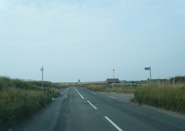
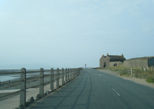
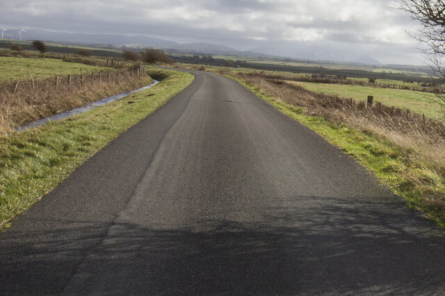
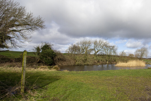
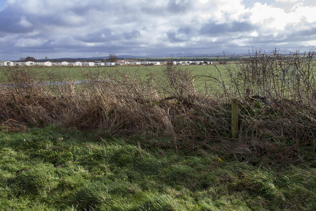
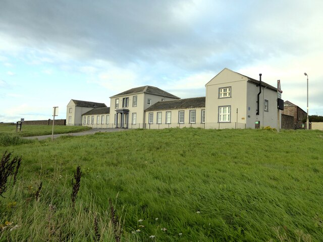
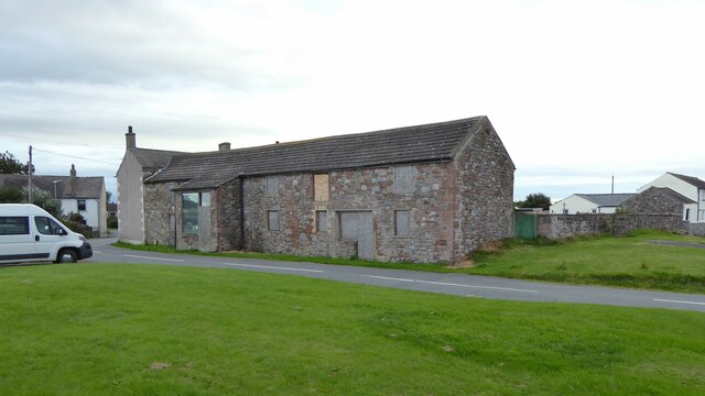
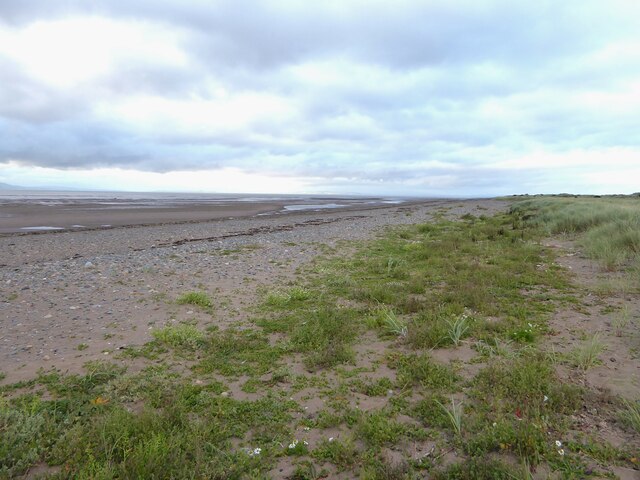
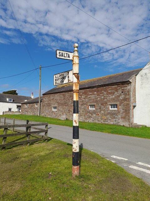
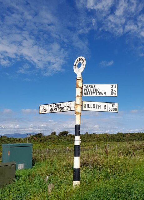
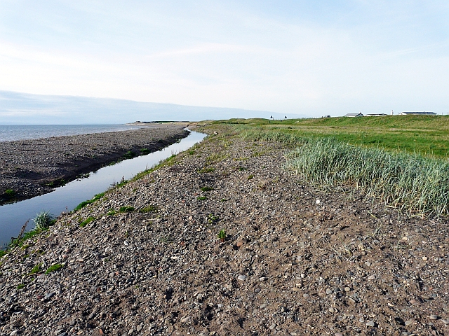
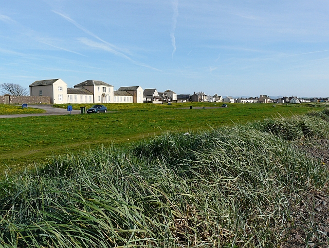
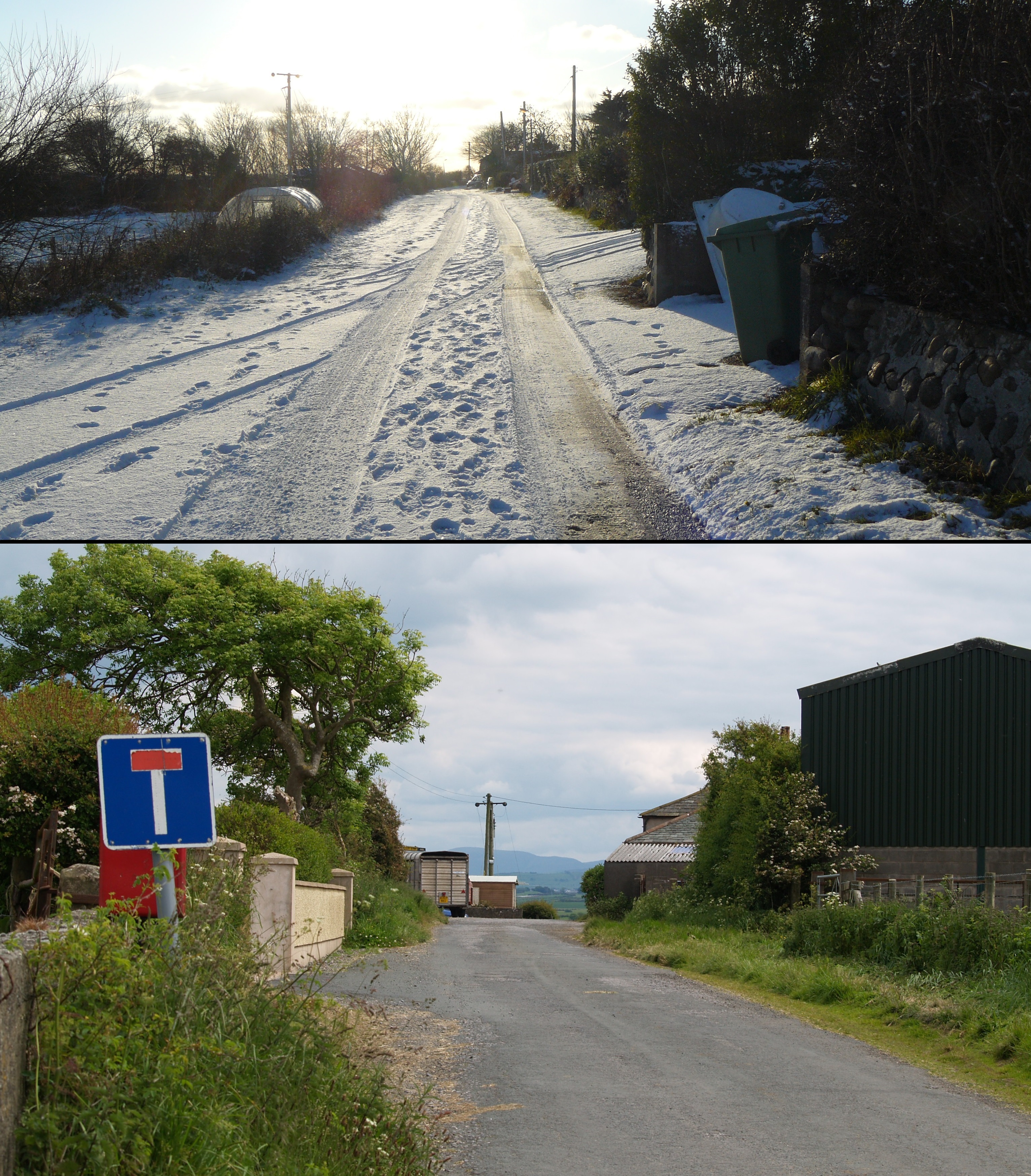
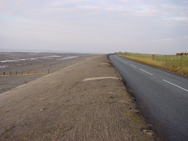
Salta Moss Images
Images are sourced within 2km of 54.793056/-3.4241088 or Grid Reference NY0845. Thanks to Geograph Open Source API. All images are credited.


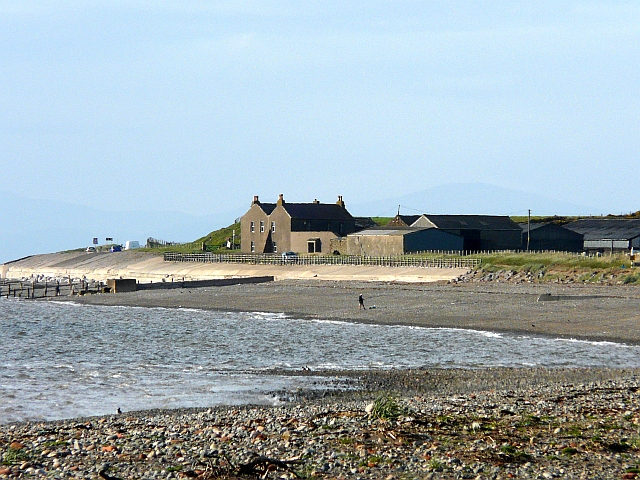
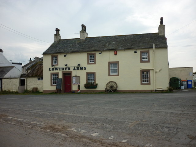

Salta Moss is located at Grid Ref: NY0845 (Lat: 54.793056, Lng: -3.4241088)
Administrative County: Cumbria
District: Allerdale
Police Authority: Cumbria
What 3 Words
///erase.escorting.groomed. Near Aspatria, Cumbria
Nearby Locations
Related Wikis
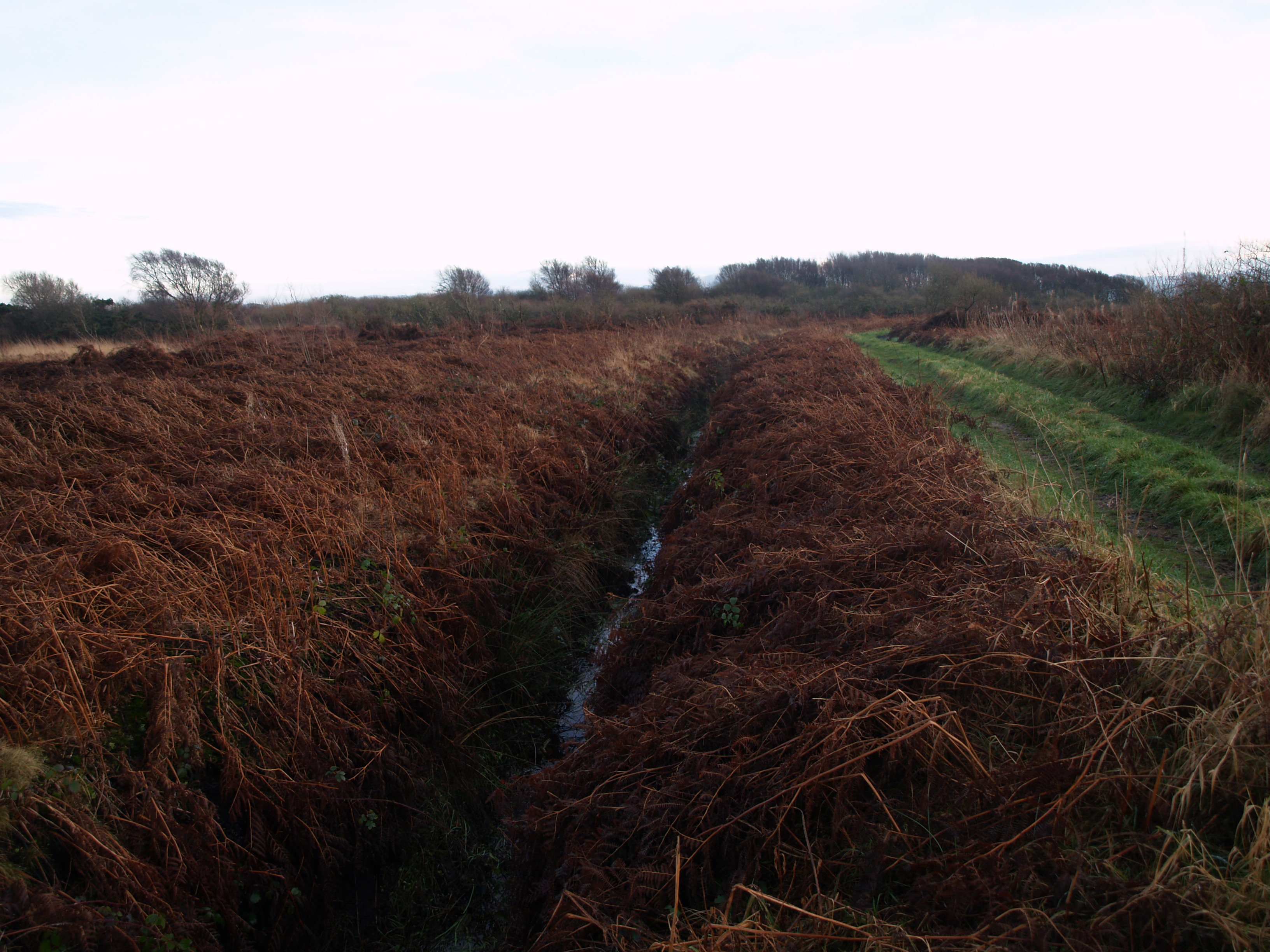
Salta Moss
Salta Moss is a raised blanket mire which is a Site of Special Scientific Interest ('SSSI') located in the hamlet of Salta, in Cumbria, United Kingdom...
Salta, Cumbria
Salta is a hamlet in the parish of Holme St Cuthbert in northwestern Cumbria, United Kingdom. It is 1.1 miles (1.8 km) southwest of the village of Mawbray...

Dubmill
Dubmill is a settlement in the civil parish of Holme St. Cuthbert in Cumbria, United Kingdom. It is located approximately one mile south-west of the village...
Milefortlet 17
Milefortlet 17 (Dubmill Point) was a Milefortlet of the Roman Cumbrian Coast defences. These milefortlets and intervening stone watchtowers extended from...
Nearby Amenities
Located within 500m of 54.793056,-3.4241088Have you been to Salta Moss?
Leave your review of Salta Moss below (or comments, questions and feedback).