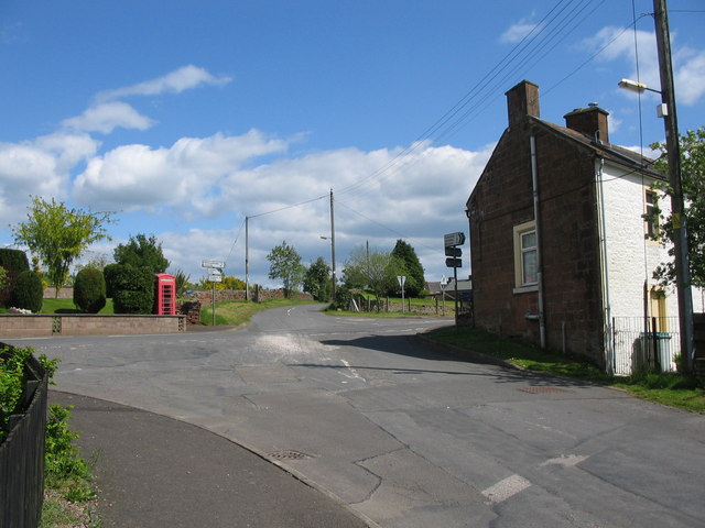
Hellshole Moss

Downs, Moorland in Dumfriesshire

Scotland

Hellshole Moss

Kinnel Water from the Shaw Bridge Looking in a roughly southward direction from the Shaw Bridge over The Kinnel Water.
Kinnel Water from the Shaw Bridge Credit: Colin Kinnear

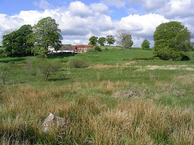
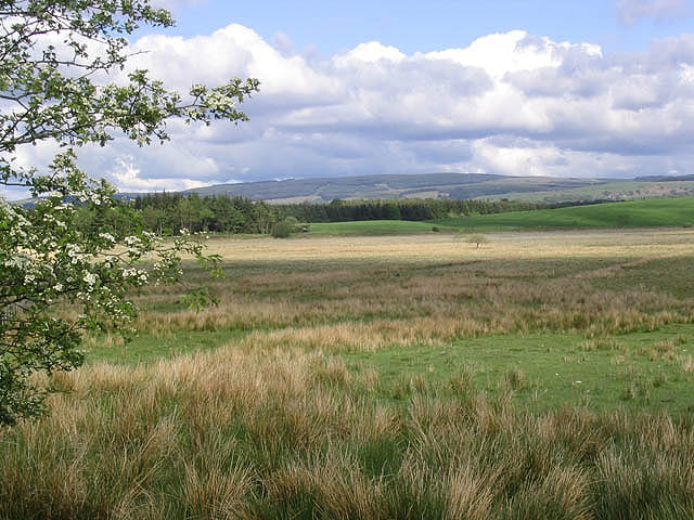
Hellshole Moss is a vast expanse of moorland located in Dumfriesshire, Scotland. Situated in the Downs region, it is known for its rugged and desolate terrain, making it a unique and intriguing destination for nature enthusiasts and hikers alike.

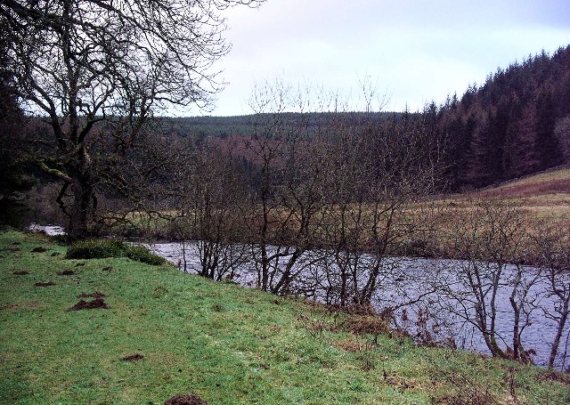
Covering an area of approximately 500 acres, Hellshole Moss is characterized by its extensive peat bogs, heather, and scattered patches of coarse grass. The landscape is undulating and dotted with small, stagnant pools of water, giving it an eerie and otherworldly atmosphere.

The moorland is home to a diverse range of flora and fauna, with notable species including heather, bog cotton, and various types of moss. Birdwatchers can enjoy spotting species such as curlews, lapwings, and meadow pipits that frequent the area.

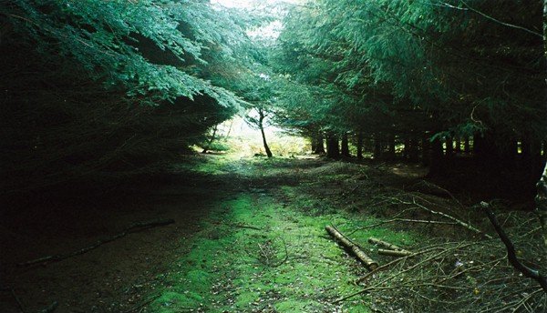
Hellshole Moss offers visitors a chance to immerse themselves in the tranquility of nature, with its vast open spaces and breathtaking vistas. However, it is essential to note that the terrain can be challenging to navigate, particularly during wet weather, due to the presence of deep bogs and uneven ground.

While the name "Hellshole Moss" may evoke a sense of foreboding, it is purely a reflection of the atmospheric and rugged nature of the landscape. Despite its somewhat ominous name, Hellshole Moss is a captivating and unspoiled natural gem that showcases the raw beauty of Dumfriesshire's moorlands.

If you have any feedback on the listing, please let us know in the comments section below.

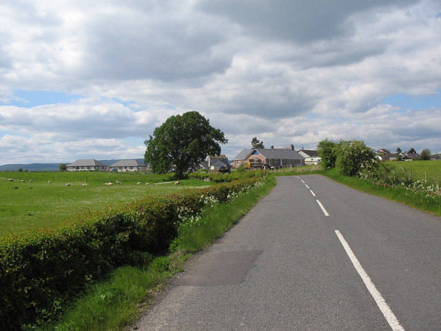
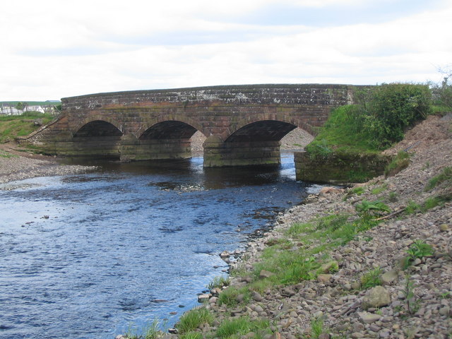
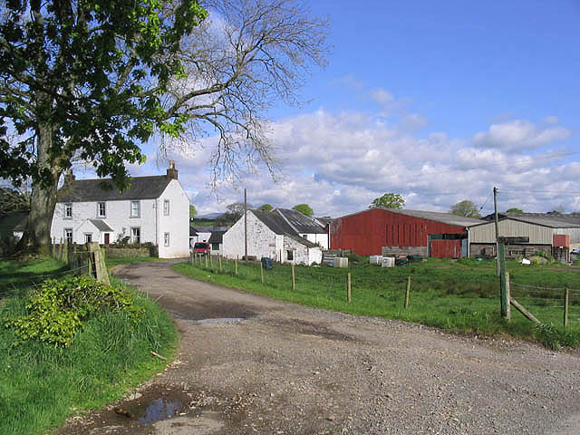
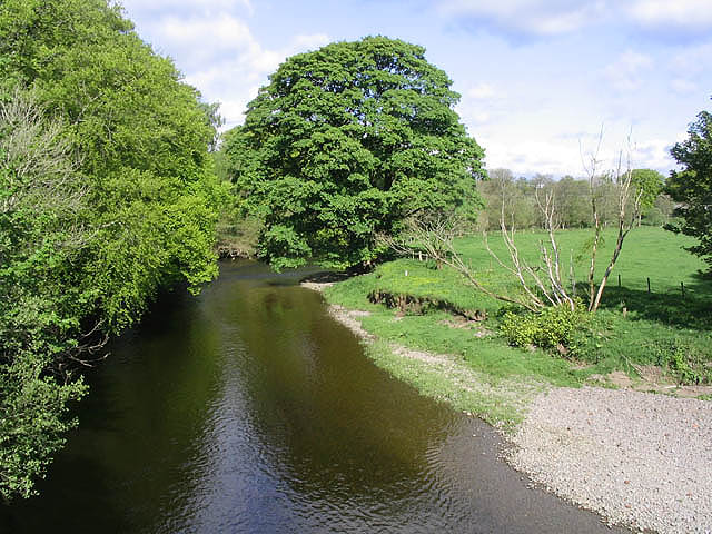
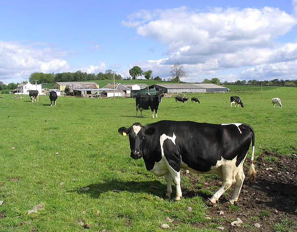
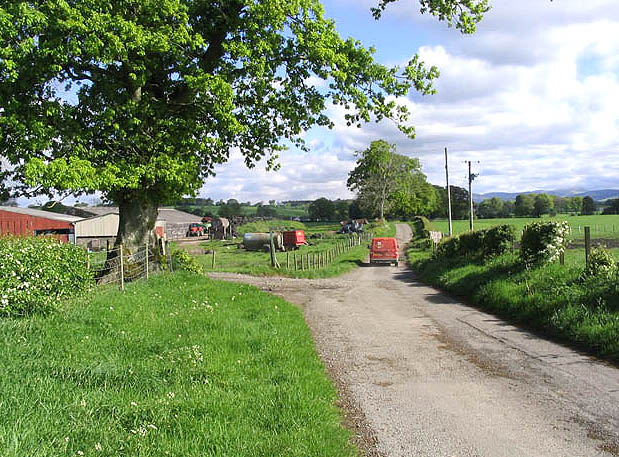
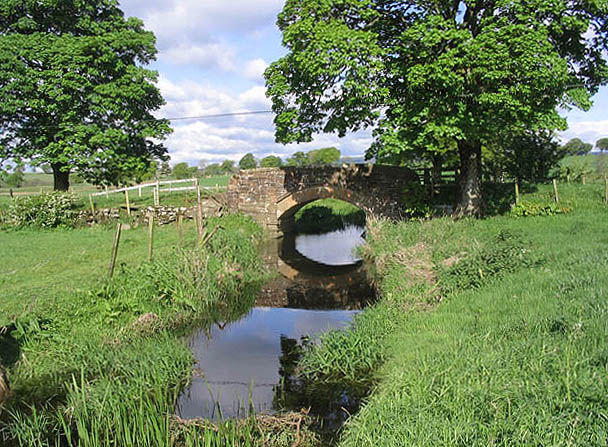
Hellshole Moss Images

Images are sourced within 2km of 55.17571/-3.4379125 or Grid Reference NY0887. Thanks to Geograph Open Source API. All images are credited.

Kinnel Water from the Shaw Bridge Looking in a roughly southward direction from the Shaw Bridge over The Kinnel Water.
Kinnel Water from the Shaw Bridge
Looking in a roughly southward direction from the Shaw Bridge over The Kinnel Water.
Approaching Templand A view looking to the northwest along the B7020 on the approach to Templand.
Approaching Templand
A view looking to the northwest along the B7020 on the approach to Templand.
Crossroads at Templand A view looking east to the crossroads on the B7020 at Templand, from the lane to Parkgate.
Crossroads at Templand
A view looking east to the crossroads on the B7020 at Templand, from the lane to Parkgate.
Shaw Bridge A view looking southeast towards Shaw Bridge over Kinnel Water. The buildings at Templand can be seen at left.
Shaw Bridge
A view looking southeast towards Shaw Bridge over Kinnel Water. The buildings at Templand can be seen at left.
Panlands Farm
Panlands Farm
The River Annan Viewed from a bridge near Spedlins Tower.
The River Annan
Viewed from a bridge near Spedlins Tower.
Cattle pasture near Lake Bridge
Hellshole Moss Bog cotton grass in flower on this moss to the east of the B7020.
Hellshole Moss
Bog cotton grass in flower on this moss to the east of the B7020.
South Greyrigg Farm
South Greyrigg Farm
Livestock field Corsua Farm is in the background.
Livestock field
Corsua Farm is in the background.
Rural landscape A Post Office van travels down this country road after making a delivery to Panlands Farm on the left.
Rural landscape
A Post Office van travels down this country road after making a delivery to Panlands Farm on the left.
Lake Bridge Spans a burn to the north of Archwood Farm.
Lake Bridge
Spans a burn to the north of Archwood Farm.
Mossland Looking towards Hellshole Moss from a minor road by Corncockle Plantation.
Mossland
Looking towards Hellshole Moss from a minor road by Corncockle Plantation.
North Greyrigg Farm Viewed from the B7020.
North Greyrigg Farm
Viewed from the B7020.
Field Farmland beside Corncockle plantation, near Templand.
Field
Farmland beside Corncockle plantation, near Templand.
Corncockle Plantation Pathway through this Scots Pine forest. The Corncockle Plantation which is now owned by the Forestry Commission, was once part of Applegirth Estate and owned by the Jardines of Jardine Hall.
Corncockle Plantation
Pathway through this Scots Pine forest. The Corncockle Plantation which is now owned by the Forestry Commission, was once part of Applegirth Estate and owned by the Jardines of Jardine Hall.
Spedlins Tower Substantial tower house (c.1500) of the Jardines of Applegarth. Extended upwards 1605, restored 1988-9.
Spedlins Tower
Substantial tower house (c.1500) of the Jardines of Applegarth. Extended upwards 1605, restored 1988-9.
Heathfield Farm
Heathfield Farm
Show me another place!

Hellshole Moss is located at Grid Ref: NY0887 (Lat: 55.17571, Lng: -3.4379125)

Unitary Authority: Dumfries and Galloway

Police Authority: Dumfries and Galloway

What 3 Words

///plodding.contents.safely. Near Johnstonebridge, Dumfries & Galloway

Related Wikis

Corncockle Quarry

Corncockle Quarry was a large and historically important sandstone quarry near Templand in Dumfries and Galloway, Scotland. Stone from here was used in...
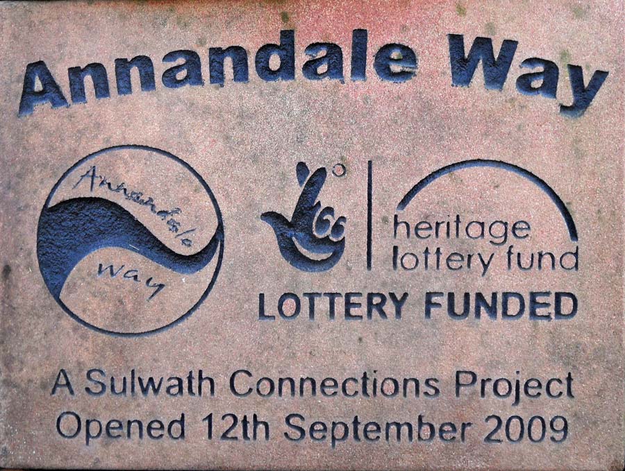
Annandale Way

The Annandale Way is a 90-kilometre (56 mi) hiking trail in Scotland, which is officially designated by NatureScot as one of Scotland's Great Trails. It...

Templand

Templand is a village in Dumfriesshire, Scotland, located around 4.5 miles (7.2 km) northwest of Lockerbie. Templand was built during the Industrial Revolution...

Water of Ae

The Water of Ae is a tributary of the River Annan into which it flows west of Lockerbie in Dumfries and Galloway administrative county of South West Scotland...

Nearby Amenities

Located within 500m of 55.17571,-3.4379125
Hellshole Moss
Place: locality
Lat/Long: 55.1755411/-3.439121
The data included in this document is from www.openstreetmap.org. The data is made available under ODbL.

Have you been to Hellshole Moss?

Leave your review of Hellshole Moss below (or comments, questions and feedback).