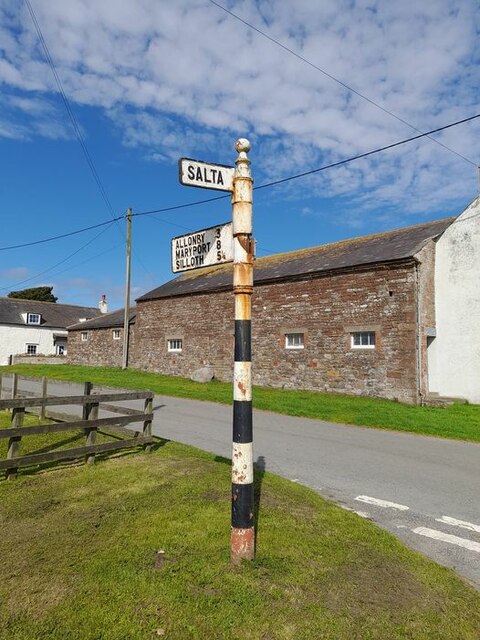
Salta

Settlement in Cumberland Allerdale

England

Salta

B5300 north of Allonby
B5300 north of Allonby Credit: Colin Pyle

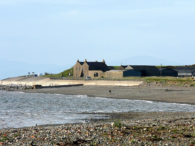
Salta, Cumberland is a small town located in the northwestern part of England. Situated in the county of Cumbria, it is nestled amidst picturesque countryside and is known for its stunning natural beauty. With a population of around 10,000 residents, Salta offers a peaceful and charming atmosphere that attracts both locals and tourists alike.

The town is blessed with a rich history, dating back to Roman times when it was a significant settlement along a major trade route. Today, traces of this ancient heritage can still be seen in the form of Roman ruins and artifacts that have been discovered in the area. Salta also played a prominent role during the Industrial Revolution, with its coal mines and nearby ironworks contributing to the region's economic growth.

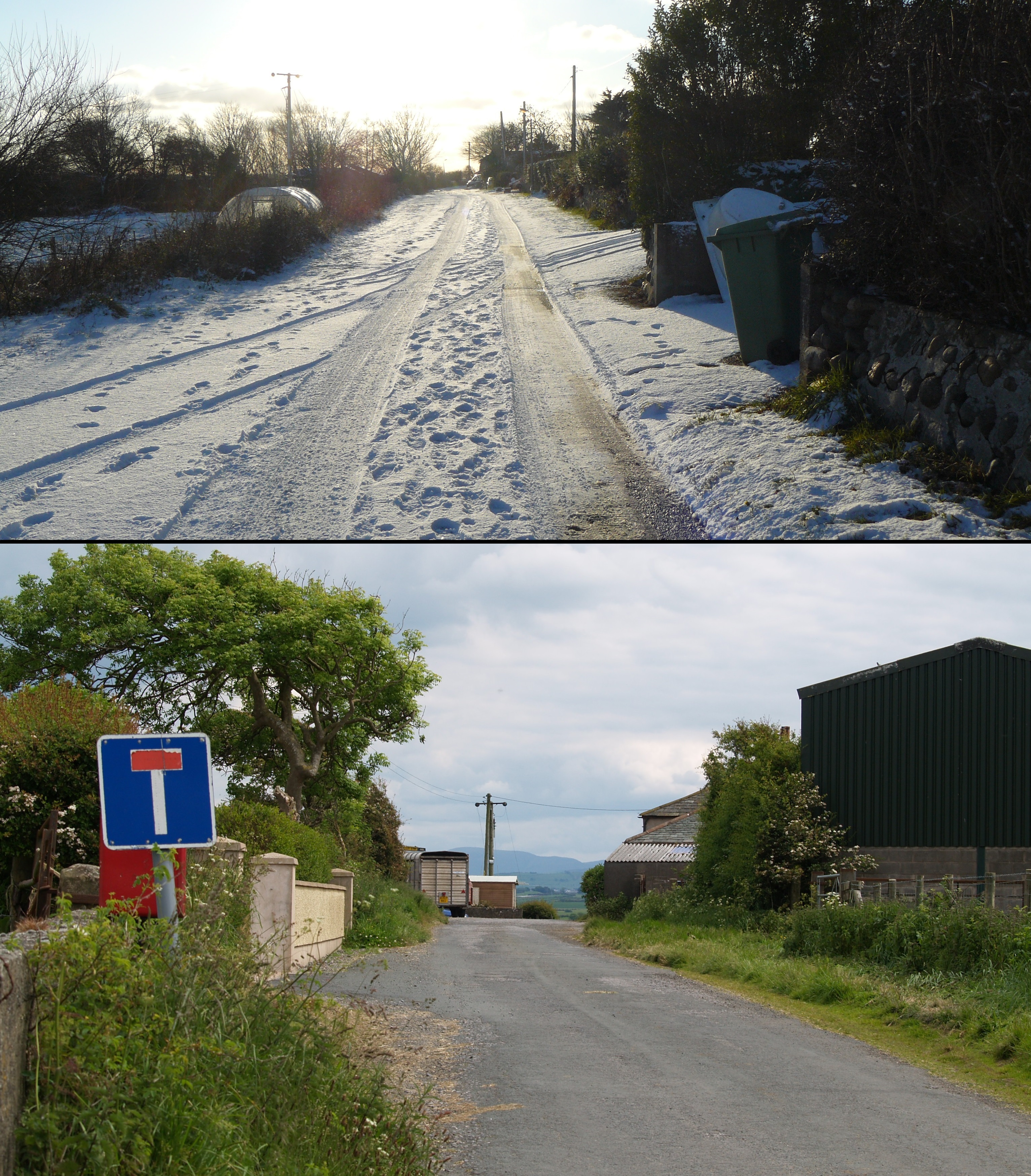
Visitors to Salta can explore the town's quaint streets and historic buildings, including the 12th-century St. Mary's Church, which stands as a testament to the area's religious heritage. Additionally, the surrounding countryside offers ample opportunities for outdoor activities such as hiking, cycling, and fishing. The nearby Lake District National Park, renowned for its breathtaking landscapes, is within easy reach from Salta, making it an ideal base for those seeking to explore the region.

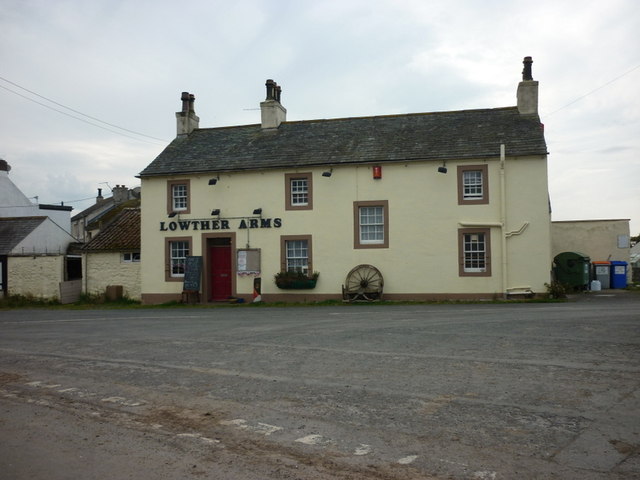
Despite its small size, Salta boasts a vibrant community with a range of amenities, including local shops, restaurants, and pubs, where visitors can savor traditional English cuisine and immerse themselves in the warm hospitality of the locals. With its blend of history, natural beauty, and welcoming ambiance, Salta, Cumberland offers a delightful escape from the hustle and bustle of modern life.

If you have any feedback on the listing, please let us know in the comments section below.
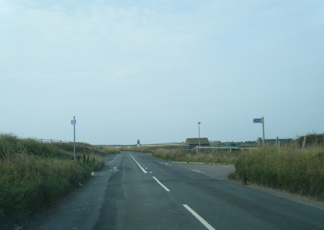
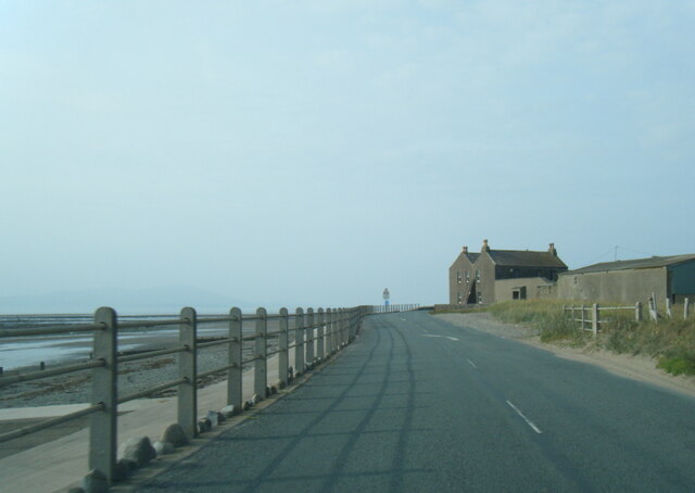
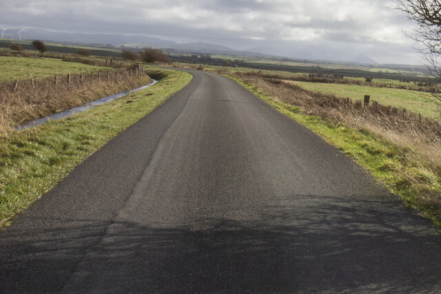
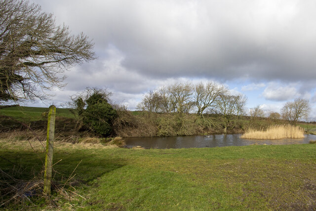
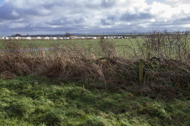
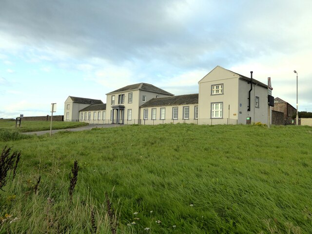
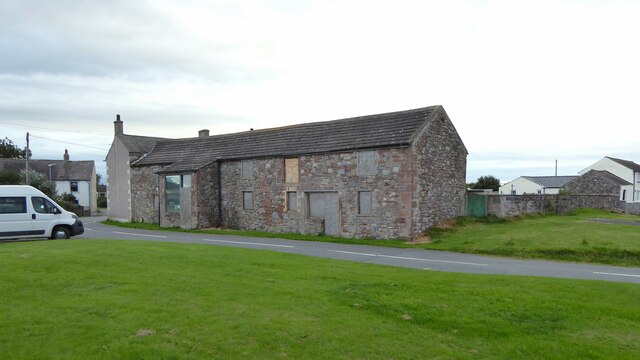
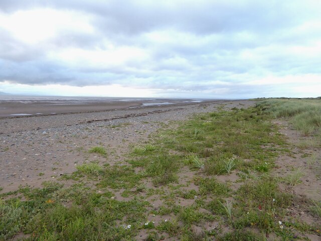
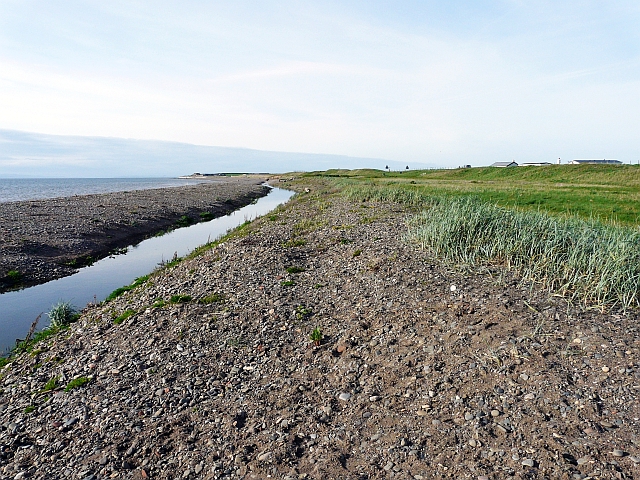
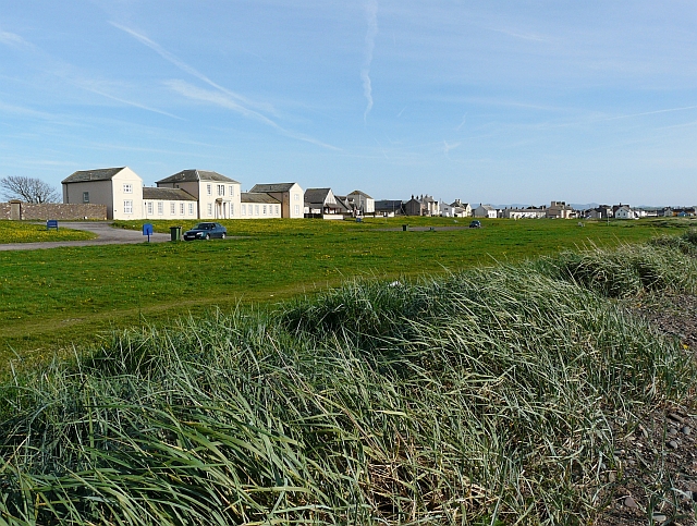
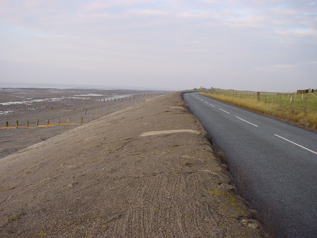
Salta Images

Images are sourced within 2km of 54.796009/-3.426293 or Grid Reference NY0845. Thanks to Geograph Open Source API. All images are credited.

B5300 north of Allonby
B5300 nearing Seacroft Farm
B5300 near Hailforth
Road and ditch
Road and ditch
Edderside village pond Footpath at Edderside
Edderside village pond
Footpath at Edderside
Manor House Park Mobile homes at Manor House Park
Manor House Park
Mobile homes at Manor House Park
North Lodge Built as Quaker's almshouses with an adjoining walled burial plot (to the left in this view)
North Lodge
Built as Quaker's almshouses with an adjoining walled burial plot (to the left in this view)
Dubmill Point sea defences
Brookside Farm Appears a restoration project?
Brookside Farm
Appears a restoration project?
Beach at Mawbray Bank Nature Reserve
Direction Sign – Signpost at Salta, Holme St Cuthbert Located on the east side of the junction at Salta. Holme St Cuthbert parish. 3 missing arms and pawn finial.

Milestone Society National ID: CU_NY0845
Direction Sign – Signpost at Salta, Holme St Cuthbert
Located on the east side of the junction at Salta. Holme St Cuthbert parish. 3 missing arms and pawn finial. Milestone Society National ID: CU_NY0845
Direction Sign – Signpost at Mawbray Located in Mawbray at the east corner of the grass triangle containing a playground.  Holme St Cuthbert parish. 3 arms, 1 missing, and pawn finial. The missing arm said HOLME ST CUTHBERTS 1¼ and was lost some time after April 2011.

Milestone Society National ID: CU_NY0846A
Direction Sign – Signpost at Mawbray
Located in Mawbray at the east corner of the grass triangle containing a playground. Holme St Cuthbert parish. 3 arms, 1 missing, and pawn finial. The missing arm said HOLME ST CUTHBERTS 1¼ and was lost some time after April 2011. Milestone Society National ID: CU_NY0846A
Direction Sign – Signpost at Mawbray Located on the northeast side of the crossroads in Mawbray.  Holme St Cuthbert parish. 3 arms and annulus finial. See also <a title="https://www.geograph.org.uk/photo/6038749" href="https://www.geograph.org.uk/photo/6038749">Link</a> , <a title="https://www.geograph.org.uk/photo/4133664" href="https://www.geograph.org.uk/photo/4133664">Link</a> and <a title="https://www.geograph.org.uk/photo/4815088" href="https://www.geograph.org.uk/photo/4815088">Link</a>.

Milestone Society National ID: CU_NY0846
Direction Sign – Signpost at Mawbray
Located on the northeast side of the crossroads in Mawbray. Holme St Cuthbert parish. 3 arms and annulus finial. See also Link , Link and Link. Milestone Society National ID: CU_NY0846
Allonby Beck You can't see this stream from the nearby car park, so it was a surprise to find that a quick walk to the sea would require an extra paddle (there are several bridges near the centre of Allonby village).
Allonby Beck
You can't see this stream from the nearby car park, so it was a surprise to find that a quick walk to the sea would require an extra paddle (there are several bridges near the centre of Allonby village).
Green to the north of Allonby village View from beside <a href="https://www.geograph.org.uk/photo/2410604">NY0843 : Allonby Beck</a> . The large building on the left is <a href="https://www.geograph.org.uk/photo/598270">NY0843 : North Lodge, Allonby</a>.
Green to the north of Allonby village
View from beside NY0843 : Allonby Beck . The large building on the left is NY0843 : North Lodge, Allonby.
Seacroft Farm Zoomed-in view from Allonby. Crossing the shore at the left is the enclosed outflow of the Black Dub Stream.
Seacroft Farm
Zoomed-in view from Allonby. Crossing the shore at the left is the enclosed outflow of the Black Dub Stream.
The Lowther Arms, Mawbray
The road towards Salta
Show me another place!

Salta is located at Grid Ref: NY0845 (Lat: 54.796009, Lng: -3.426293)

Administrative County: Cumbria

District: Allerdale

Police Authority: Cumbria

What 3 Words

///retain.cools.wiggling. Near Aspatria, Cumbria

Nearby Locations

Salta Salta Moss

Related Wikis

Salta, Cumbria

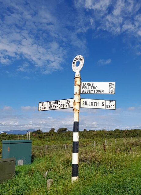
Salta is a hamlet in the parish of Holme St Cuthbert in northwestern Cumbria, United Kingdom. It is 1.1 miles (1.8 km) southwest of the village of Mawbray...
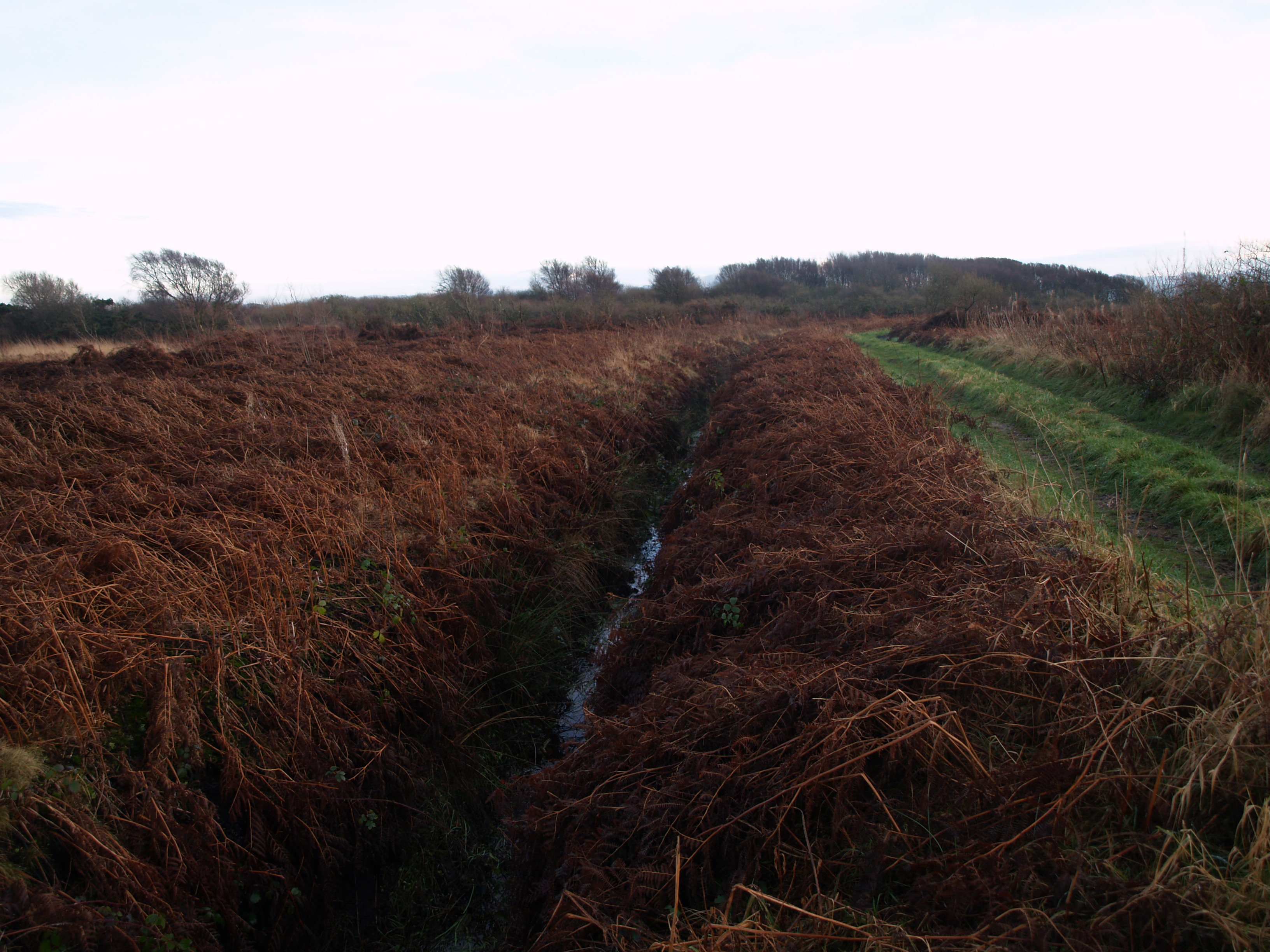
Salta Moss

Salta Moss is a raised blanket mire which is a Site of Special Scientific Interest ('SSSI') located in the hamlet of Salta, in Cumbria, United Kingdom...

Dubmill

Dubmill is a settlement in the civil parish of Holme St. Cuthbert in Cumbria, United Kingdom. It is located approximately one mile south-west of the village...

Milefortlet 17

Milefortlet 17 (Dubmill Point) was a Milefortlet of the Roman Cumbrian Coast defences. These milefortlets and intervening stone watchtowers extended from...
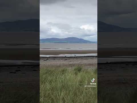
Related Videos

Bridge House | Holiday Cottage in Allonby on the Solway Coast

The Solway Coast is one of Cumbria's beautiful hidden treasures and the spacious Bridge House sleeping up to ten is an ideal ...

salou

aug 2018.

Colonel Tom Moore wall mural in Allonby .

Biking through Allonby in the summer of 2020.

Nearby Amenities

Located within 500m of 54.796009,-3.426293
Salta
Place: locality
Wikidata: Q7406018
Lat/Long: 54.7957514/-3.4272368
Post Box
Ref: CA15 103
Lat/Long: 54.7963473/-3.4297649
Power: pole
Lat/Long: 54.7922761/-3.4302319
Power: pole
Lat/Long: 54.7929277/-3.429322
Power: pole
Lat/Long: 54.7936642/-3.4283187
Power: pole
Lat/Long: 54.7943732/-3.4273506
Power: pole
Lat/Long: 54.7951241/-3.4262974
Power: pole
Lat/Long: 54.7957385/-3.4254727
Power: pole
Lat/Long: 54.7969037/-3.4256368
Power: pole
Lat/Long: 54.7975564/-3.4257615
Power: pole
Lat/Long: 54.7984593/-3.4259173
Power: pole
Lat/Long: 54.7992233/-3.4260689
Power: pole
Lat/Long: 54.8002531/-3.4262455
The data included in this document is from www.openstreetmap.org. The data is made available under ODbL.

Have you been to Salta?

Leave your review of Salta below (or comments, questions and feedback).