The Lawn
Downs, Moorland in Devon East Devon
England
The Lawn
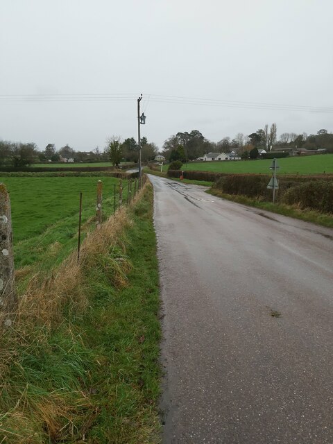
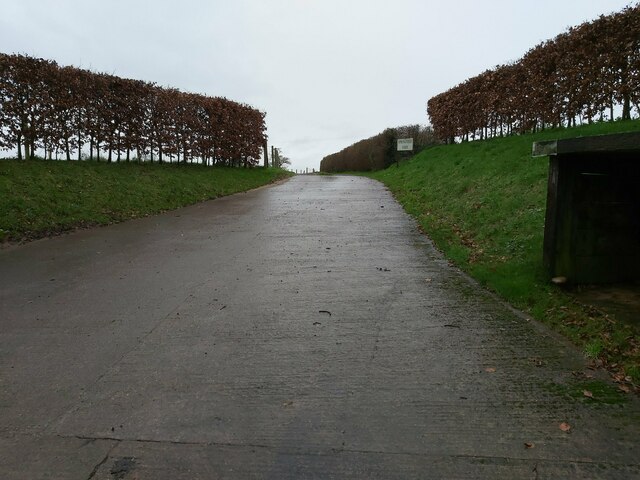
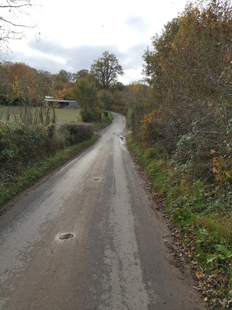
The Lawn is a picturesque area located in Devon, England, encompassing the stunning landscapes of Downs, Moorland, and surrounding areas. Spanning approximately 200 acres, it is known for its natural beauty and diverse flora and fauna. The area is characterized by rolling hills, lush green meadows, and breathtaking panoramic views.
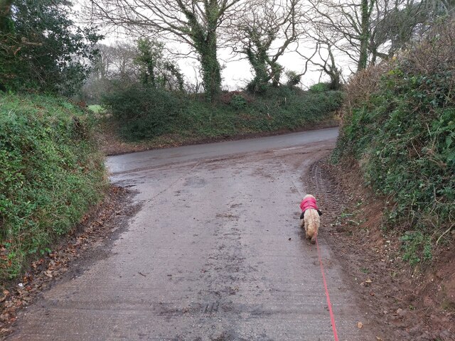
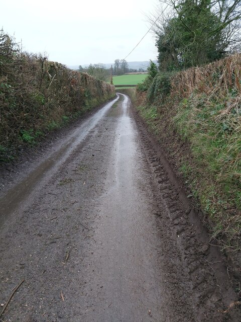
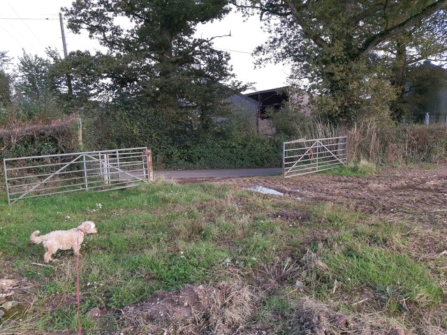
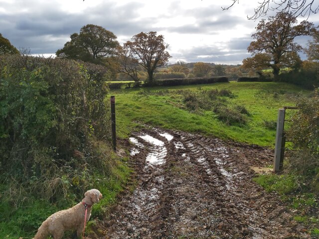
The Downs in The Lawn offer a unique experience for nature enthusiasts and hikers. The undulating hills provide an excellent vantage point to soak in the stunning scenery of the surrounding countryside. Visitors can indulge in leisurely walks, taking in the fresh air and enjoying the tranquility that this vast expanse of land offers.
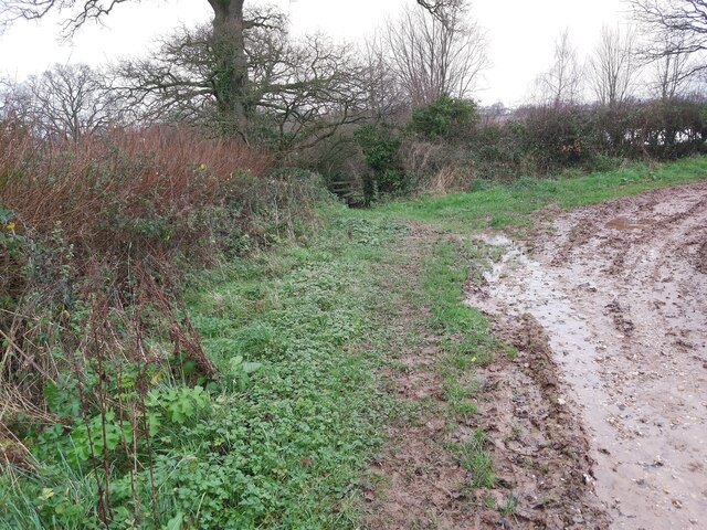
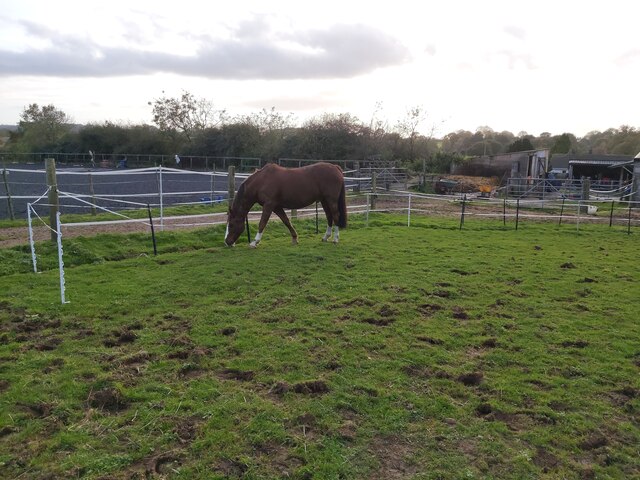
Adjacent to the Downs, the Moorland is another highlight of The Lawn. It boasts a rich biodiversity, with heather-covered moors, glistening streams, and rocky outcrops. Birdwatchers can spot a variety of species, including the elusive Dartford Warbler and the majestic Peregrine Falcon. The Moorland also supports a diverse range of wildlife, including deer, foxes, and badgers.
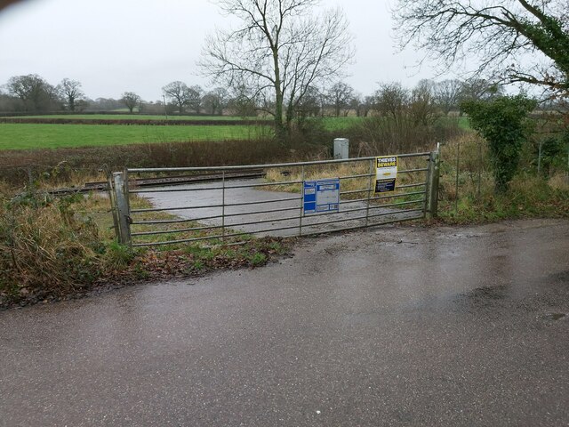
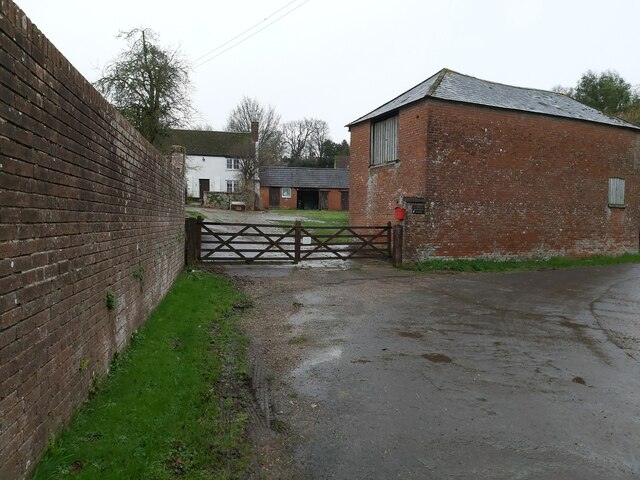
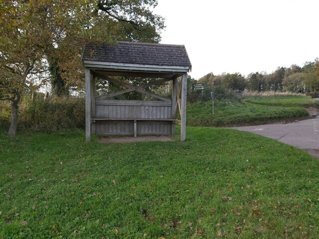
The Lawn is a haven for outdoor enthusiasts, with ample opportunities for activities such as cycling, horse riding, and picnicking. The well-maintained trails cater to all levels of fitness and provide an excellent platform for exploration. The area is also home to several historic sites, such as ancient burial mounds and prehistoric settlements, adding cultural significance to its natural allure.
Overall, The Lawn, Devon (Downs, Moorland) offers a captivating blend of natural beauty, recreational opportunities, and historical significance, making it a must-visit destination for those seeking an escape into the idyllic English countryside.
If you have any feedback on the listing, please let us know in the comments section below.
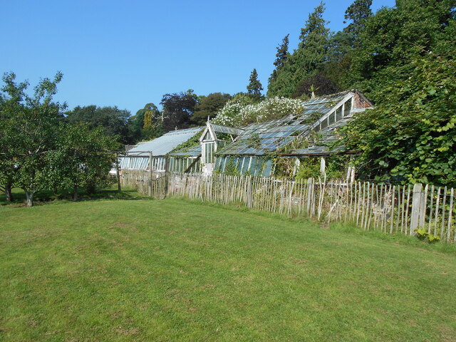
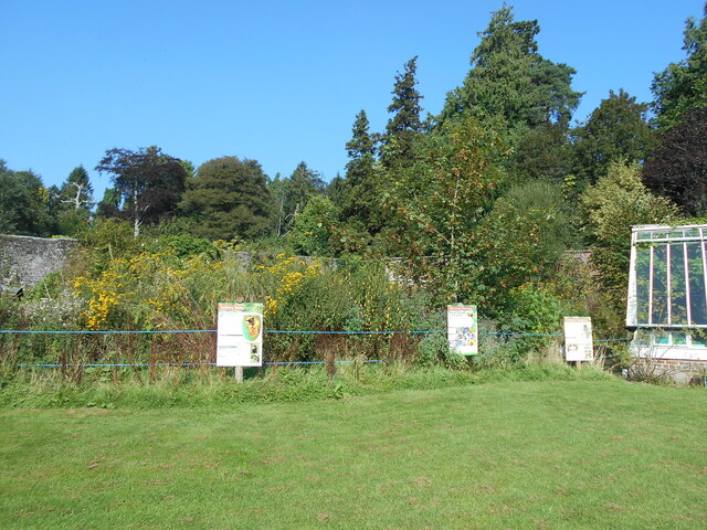
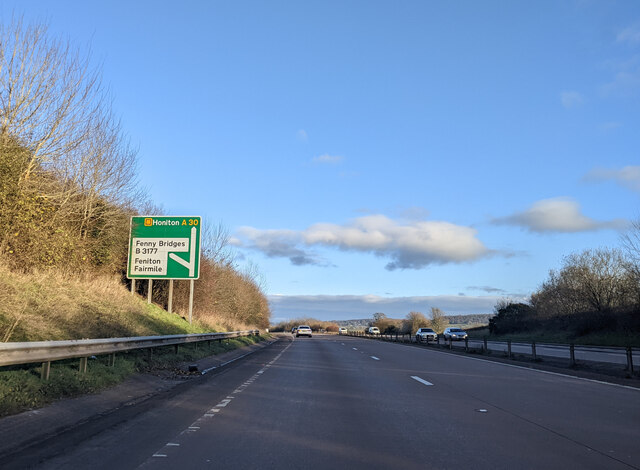
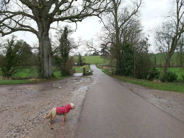
The Lawn Images
Images are sourced within 2km of 50.774389/-3.3026249 or Grid Reference SY0898. Thanks to Geograph Open Source API. All images are credited.
The Lawn is located at Grid Ref: SY0898 (Lat: 50.774389, Lng: -3.3026249)
Administrative County: Devon
District: East Devon
Police Authority: Devon and Cornwall
What 3 Words
///zoos.machine.flinch. Near Ottery St Mary, Devon
Nearby Locations
Related Wikis
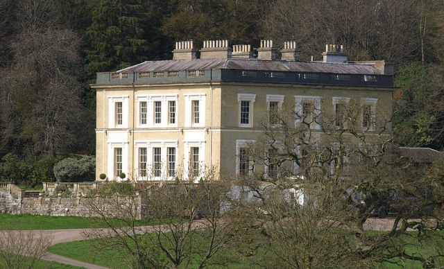
Escot, Talaton
Escot in the parish of Talaton, near Ottery St Mary in Devon, is an historic estate. The present mansion house known as Escot House is a grade II listed...

Fairmile, Devon
Fairmile is a hamlet in the English county of Devon. In the late 1990s, Fairmile became a focus of direct action protest activities, as squatters attempted...

Talaton
Talaton is a village and a civil parish in the English county of Devon. It lies approximately 6 miles to the west of Honiton, 3 miles to the north of...

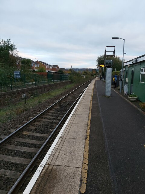
Feniton railway station
Feniton railway station serves the village of Feniton in Devon, England. It was opened by the London and South Western Railway (LSWR) in 1860 but is now...
Nearby Amenities
Located within 500m of 50.774389,-3.3026249Have you been to The Lawn?
Leave your review of The Lawn below (or comments, questions and feedback).