Rowdon End Covert

Wood, Forest in Devon East Devon

England

Rowdon End Covert

In need of some TLC An overgrown greenhouse at Wildwood Escot.
a slightly less overgrown photograph can be seen <a href="https://www.geograph.org.uk/photo/5363512">SY0797 : Walled garden at Escot</a>
In need of some TLC Credit: Anthony Vosper

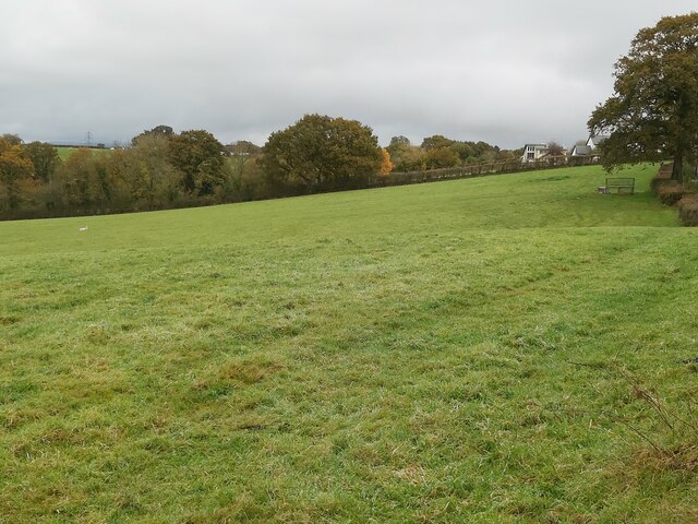
Rowdon End Covert is a picturesque woodland located in Devon, England. Covering an area of approximately 100 acres, it is situated near the village of Rowdon, hence the name. The woodland is part of a larger nature reserve and is managed by the local conservation organization.

The woodland is characterized by a diverse range of tree species, including oak, beech, and ash, which create a dense and enchanting forest canopy. These trees provide shelter and food for a variety of wildlife, making Rowdon End Covert an important habitat for many species.

The forest floor is covered in a rich carpet of mosses, ferns, and wildflowers, adding to the natural beauty of the area. Visitors can enjoy a leisurely stroll along the well-maintained footpaths that wind through the woods, taking in the tranquil atmosphere and admiring the stunning flora and fauna.

Birdwatchers will be delighted by the abundance of avian life in Rowdon End Covert. The woodland is home to numerous species, including woodpeckers, owls, and warblers. Lucky visitors might even catch a glimpse of a rare bird, such as the elusive nightjar.

Rowdon End Covert is a haven for nature enthusiasts, offering a serene and peaceful environment to explore. The woodland provides an opportunity to connect with the natural world and appreciate the beauty of Devon's countryside. Whether you are a keen birdwatcher, a nature lover, or simply seeking a quiet escape, Rowdon End Covert is a delightful destination to visit.

If you have any feedback on the listing, please let us know in the comments section below.

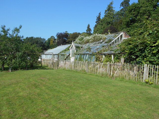
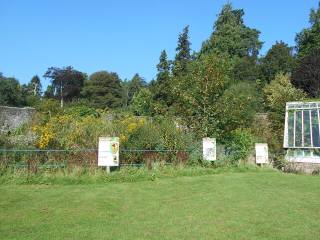
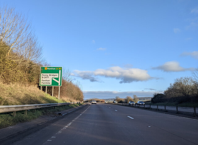
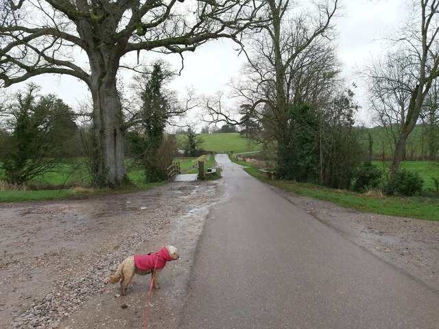
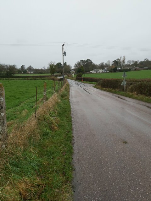
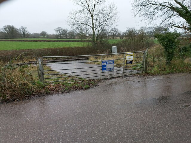
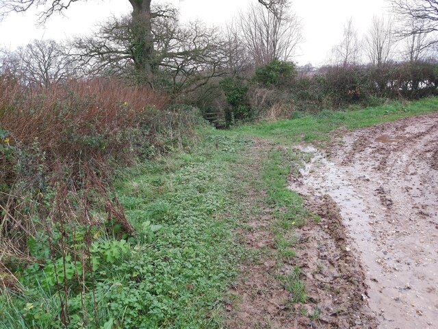
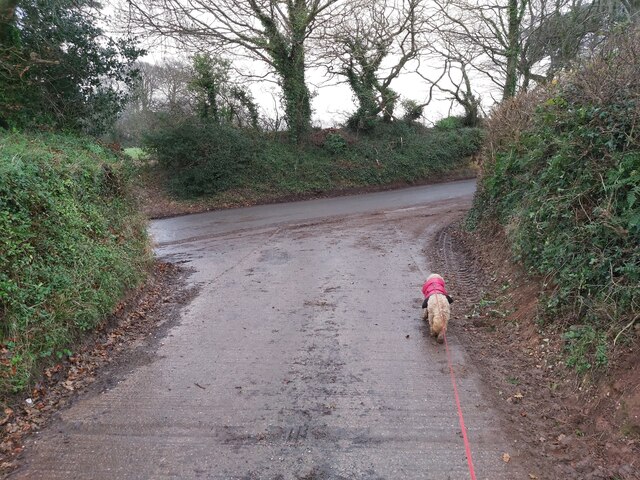
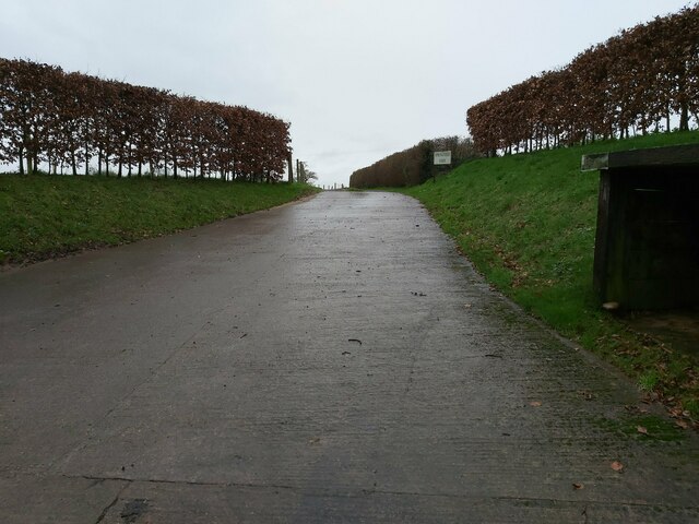
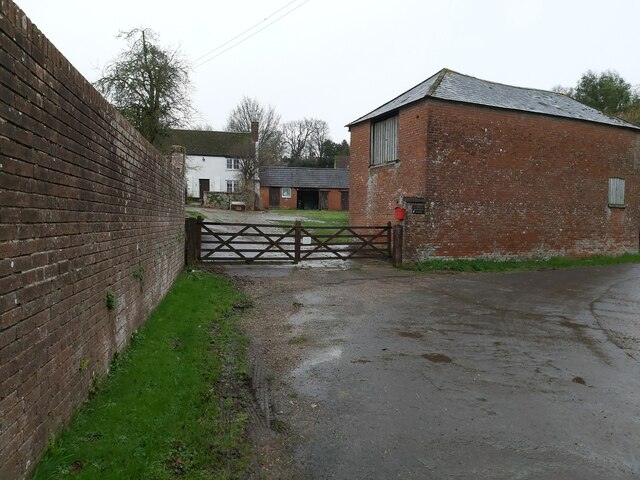
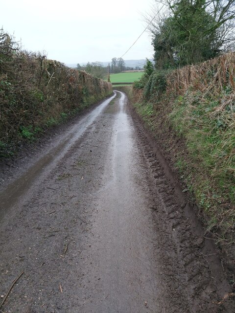
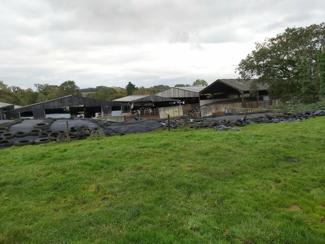
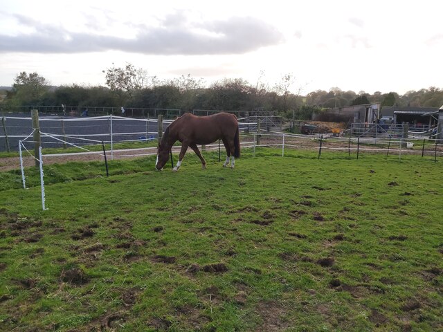
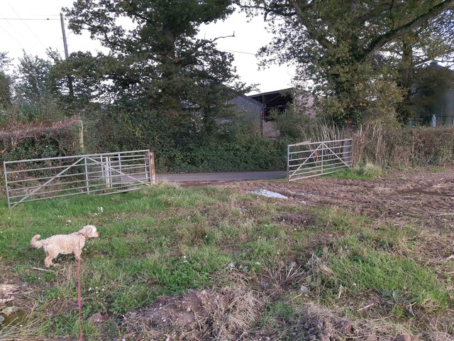
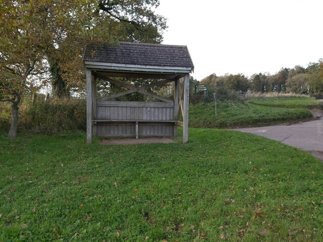
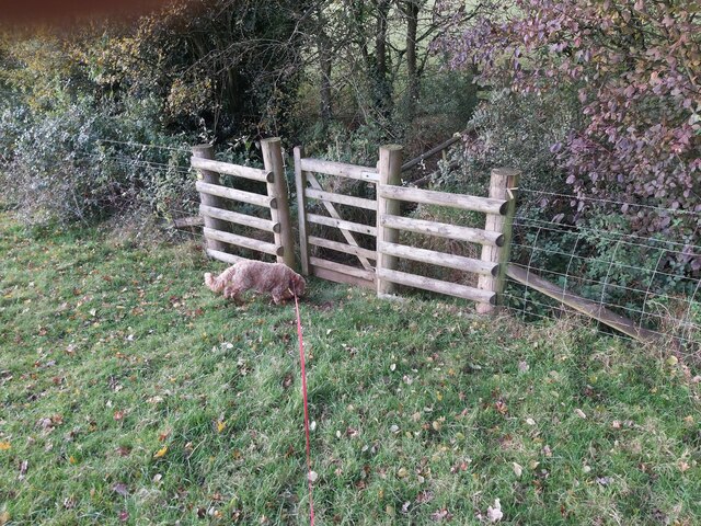
Rowdon End Covert Images

Images are sourced within 2km of 50.783111/-3.3051228 or Grid Reference SY0898. Thanks to Geograph Open Source API. All images are credited.

In need of some TLC An overgrown greenhouse at Wildwood Escot.
a slightly less overgrown photograph can be seen <a href="https://www.geograph.org.uk/photo/5363512">SY0797 : Walled garden at Escot</a>
In need of some TLC
An overgrown greenhouse at Wildwood Escot. a slightly less overgrown photograph can be seen SY0797 : Walled garden at Escot
A quiet corner A section of the kitchen garden at Wildwood Escot, has been allowed to grow wild to encourage wildlife.
the signs give information on the types of bees that can found.
A quiet corner
A section of the kitchen garden at Wildwood Escot, has been allowed to grow wild to encourage wildlife. the signs give information on the types of bees that can found.
Fenny Bridges turning from the A30 heading east
Double Bridge over a River This road bridge and wooden bridge combined is on the Wildwood Escot Park Estate near Talaton in Devon. The bridge crosses a tributary of the River Tale.
Double Bridge over a River
This road bridge and wooden bridge combined is on the Wildwood Escot Park Estate near Talaton in Devon. The bridge crosses a tributary of the River Tale.
Country Road in Devon A country road looking towards Talaton village in Devon.
Country Road in Devon
A country road looking towards Talaton village in Devon.
Metal Gate Access to Railway This locked metal gate is provided for authorised access to the railway. Seen on the road between Escot Park and Talaton in Devon.
Metal Gate Access to Railway
This locked metal gate is provided for authorised access to the railway. Seen on the road between Escot Park and Talaton in Devon.
Stile in the Corner of a Field A path approaching a stile in the corner of a field along a public footpath running from New Barn Farm to Ivy Cottages near Talaton in Devon.
Stile in the Corner of a Field
A path approaching a stile in the corner of a field along a public footpath running from New Barn Farm to Ivy Cottages near Talaton in Devon.
Junction between Farm Track and Road This junction between the farm track and a country road is in between Beacon Cross and Larkbeare in Devon.
Junction between Farm Track and Road
This junction between the farm track and a country road is in between Beacon Cross and Larkbeare in Devon.
Road Entrance to a Farm Entrance driveway to Springfield Farm as viewed from the country road between Beacon Cross and Larkbeare in Devon.
Road Entrance to a Farm
Entrance driveway to Springfield Farm as viewed from the country road between Beacon Cross and Larkbeare in Devon.
Gated Entrance to a Farmhouse Wooden, gated entrance to Larkbeare Dairy Farmhouse on the country road between Larkbeare and Talaton Farm in Devon.
Gated Entrance to a Farmhouse
Wooden, gated entrance to Larkbeare Dairy Farmhouse on the country road between Larkbeare and Talaton Farm in Devon.
Country Road near Larkbeare A view down the country road from Larkbeare to Talaton Farm in Devon looking towards Escot Park.
Country Road near Larkbeare
A view down the country road from Larkbeare to Talaton Farm in Devon looking towards Escot Park.
Parklands Farm A view of the back of Parklands Farm in Talaton, East Devon as seen from the public footpath that runs past it in the adjoining field.
Parklands Farm
A view of the back of Parklands Farm in Talaton, East Devon as seen from the public footpath that runs past it in the adjoining field.
Horse Paddock in Talaton A view of a grass horse paddock in Talaton, Devon as viewed from the public footpath that crosses the field.
Horse Paddock in Talaton
A view of a grass horse paddock in Talaton, Devon as viewed from the public footpath that crosses the field.
Metal Farm Gate A view of a double metal farm gate between the field and country lane just east of Talaton in Devon. The gate is positioned opposite Lashbrook Farm on the road between Bittery Cross and Beacon Cross.
Metal Farm Gate
A view of a double metal farm gate between the field and country lane just east of Talaton in Devon. The gate is positioned opposite Lashbrook Farm on the road between Bittery Cross and Beacon Cross.
Bus Shelter at Talaton A view of the wooden bus shelter at Bittery Cross just east of Talaton in Devon.
Bus Shelter at Talaton
A view of the wooden bus shelter at Bittery Cross just east of Talaton in Devon.
Gate over a Stream A view of a small gate leading to a footbridge over a stream next to the country lane that runs between Bittery Cross and Rydon House, east of Talaton in Devon.
Gate over a Stream
A view of a small gate leading to a footbridge over a stream next to the country lane that runs between Bittery Cross and Rydon House, east of Talaton in Devon.
Field near Newtown A view across the fields towards Newtown, Talaton in Devon from the country lane that runs between Newtown and Whimple.
Field near Newtown
A view across the fields towards Newtown, Talaton in Devon from the country lane that runs between Newtown and Whimple.
Entering Talaton Village This road and village sign marks the entrance to Talaton village in Devon when travelling east along the country lane from Whimple.
Entering Talaton Village
This road and village sign marks the entrance to Talaton village in Devon when travelling east along the country lane from Whimple.
Show me another place!

Rowdon End Covert is located at Grid Ref: SY0898 (Lat: 50.783111, Lng: -3.3051228)

Administrative County: Devon

District: East Devon

Police Authority: Devon and Cornwall

What 3 Words

///beans.chucked.fronted. Near Whimple, Devon

Related Wikis

Talaton

Talaton is a village and a civil parish in the English county of Devon. It lies approximately 6 miles to the west of Honiton, 3 miles to the north of...
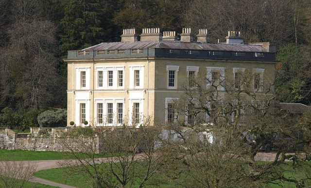
Escot, Talaton

Escot in the parish of Talaton, near Ottery St Mary in Devon, is an historic estate. The present mansion house known as Escot House is a grade II listed...

Feniton railway station

Feniton railway station serves the village of Feniton in Devon, England. It was opened by the London and South Western Railway (LSWR) in 1860 but is now...

Feniton

Feniton is a village and civil parish in East Devon in the English county of Devon. The village lies about 4 miles (6.4 km) west of Honiton, 3 miles (4...

Nearby Amenities

Located within 500m of 50.783111,-3.3051228
Power: pole
Lat/Long: 50.7798805/-3.3096322
Power: pole
Lat/Long: 50.7853853/-3.3094407
Power: pole
Lat/Long: 50.7814043/-3.3084012
Power: pole
Lat/Long: 50.783001/-3.3081396
Power: pole
Lat/Long: 50.7807128/-3.3090866
Power: pole
Lat/Long: 50.7860856/-3.3101361
Power: pole
Lat/Long: 50.7821534/-3.3076744
Power: pole
Lat/Long: 50.7842746/-3.3088215
Power: pole
Lat/Long: 50.7836443/-3.3084863
Generator Method: photovoltaic
Generator Output Electricity: yes
Generator Source: solar
Generator Type: solar_photovoltaic_panel
Location: roof
Power: generator
Source: Bing
Lat/Long: 50.7820238/-3.3094436
The data included in this document is from www.openstreetmap.org. The data is made available under ODbL.

Have you been to Rowdon End Covert?

Leave your review of Rowdon End Covert below (or comments, questions and feedback).