Poukes Moss

Downs, Moorland in Cumberland Copeland

England

Poukes Moss

Summit of Lank Rigg with view towards Iron Crag
Summit of Lank Rigg with view towards Iron Crag Credit: Colin Park

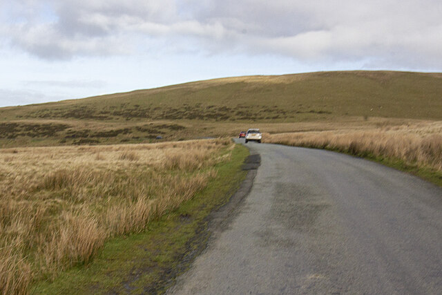
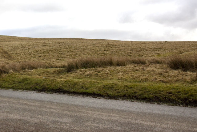
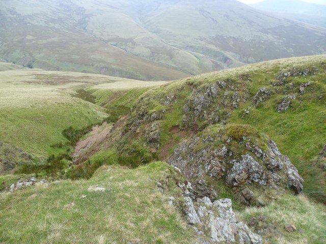
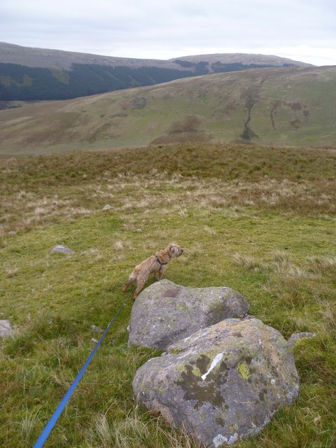
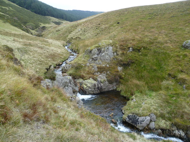
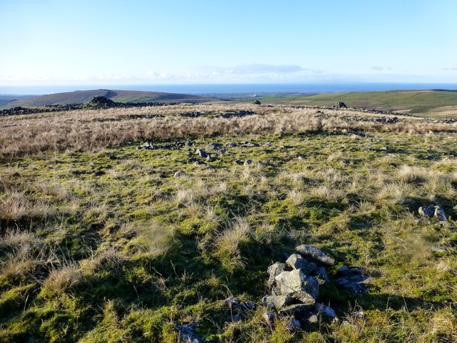
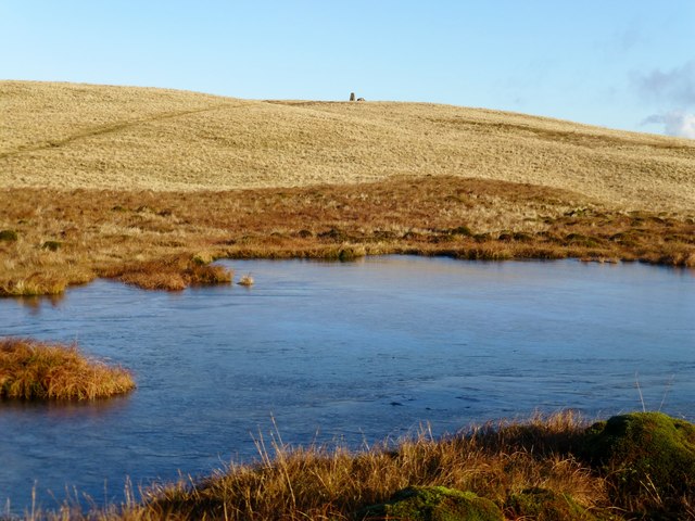
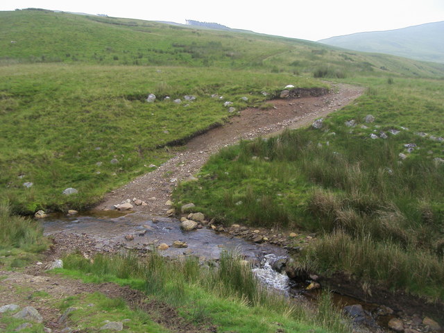
Poukes Moss is a picturesque and expansive area located in Cumberland, England. It is part of the Cumberland Downs, an extensive stretch of moorland known for its natural beauty and unique ecosystems. The moss itself covers a vast area, featuring a mix of wetlands, heather, and boggy terrain.

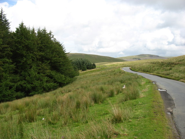
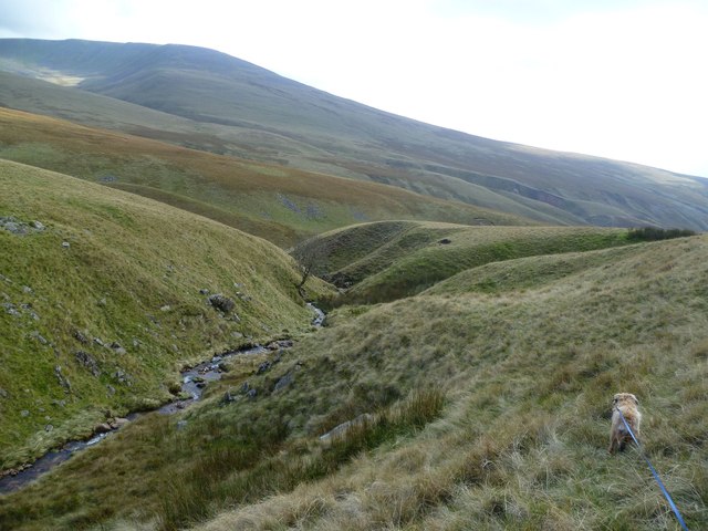
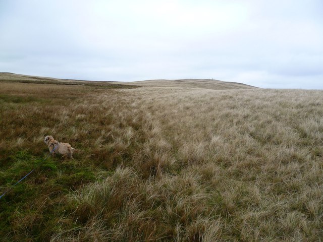
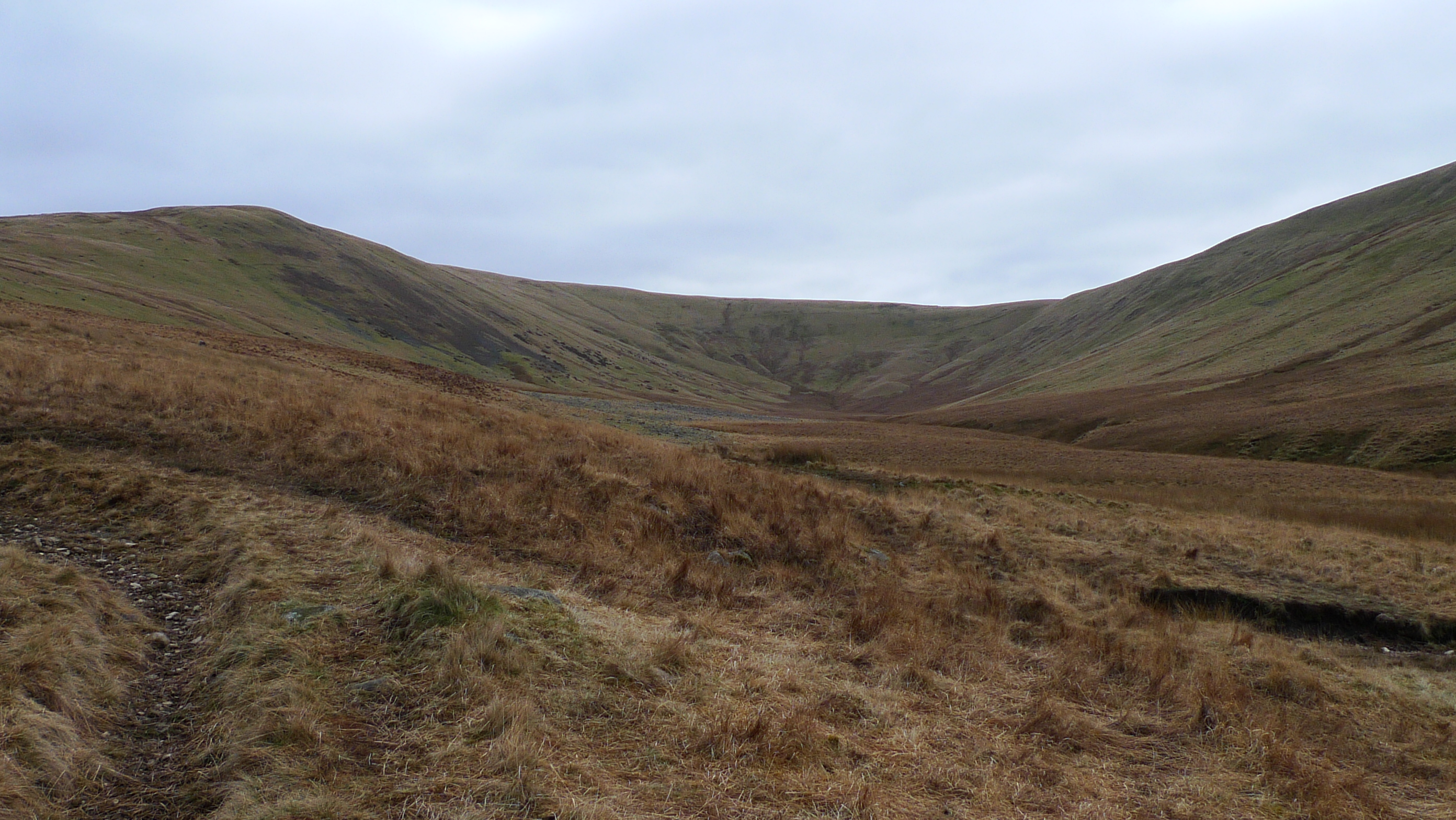
The landscape of Poukes Moss is characterized by its rolling hills and wide open spaces, dotted with scattered trees and shrubs. The moss is home to a diverse range of flora and fauna, including various species of mosses, lichens, and rare plants such as the sundew and the marsh violet. The wetlands provide an ideal habitat for numerous bird species, such as snipes, curlews, and lapwings, as well as small mammals such as voles and shrews.

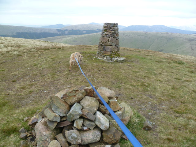
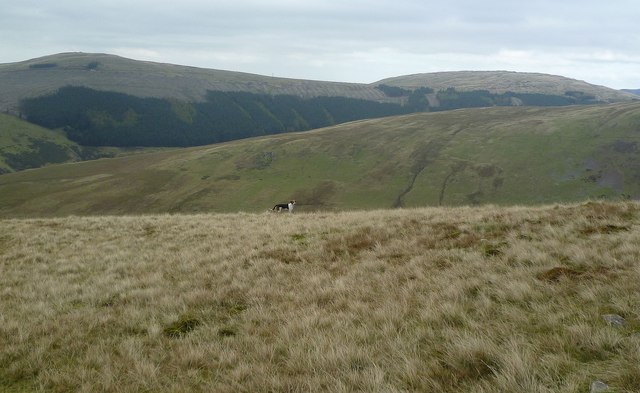
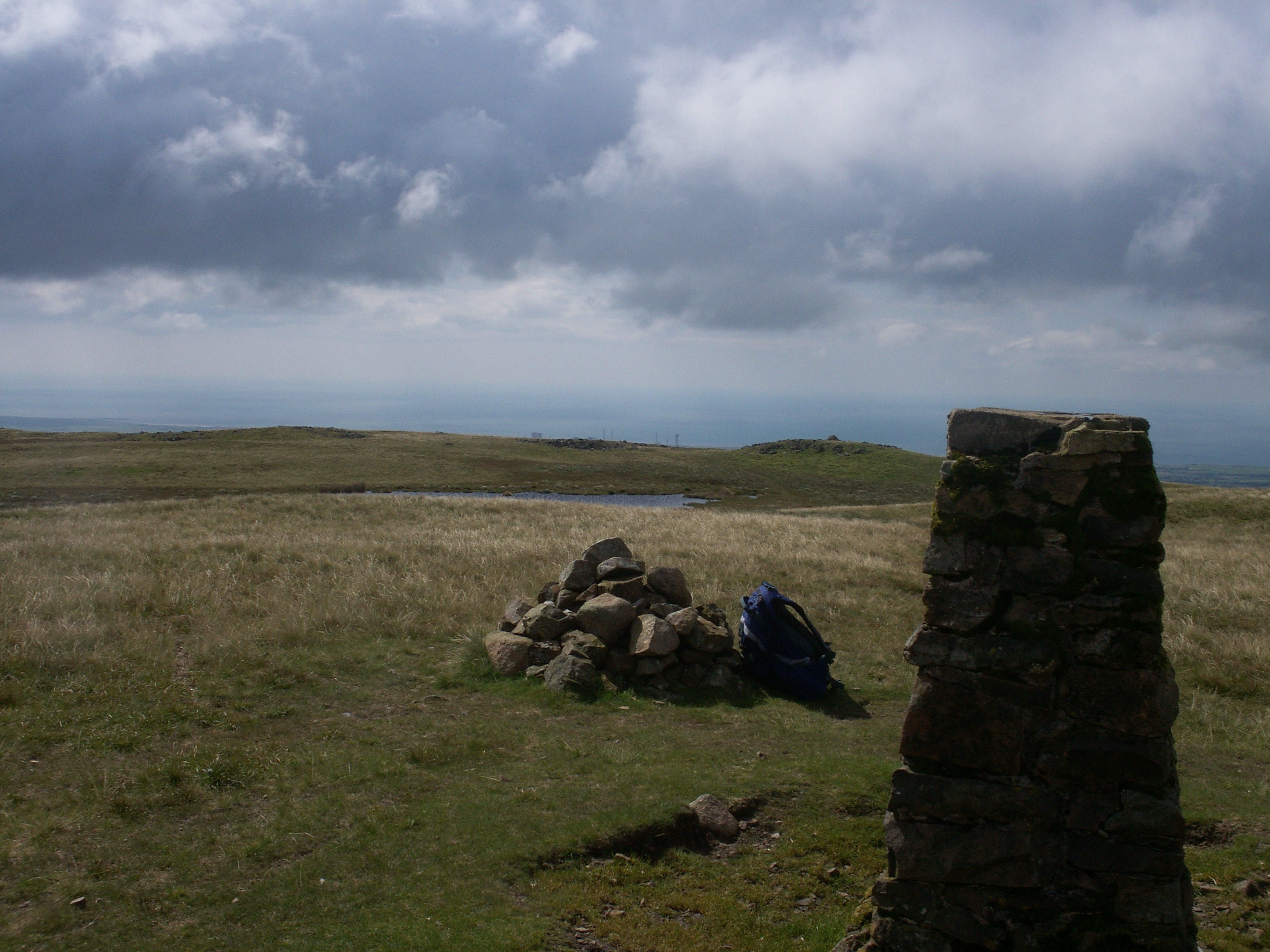
Nature enthusiasts and hikers frequent Poukes Moss to explore its natural wonders and enjoy its tranquility. The area offers various walking trails, allowing visitors to experience the unique moorland environment up close. The moss also boasts stunning panoramic views of the surrounding countryside, with the Cumberland Downs providing a breathtaking backdrop.

Poukes Moss is not only a haven for wildlife but also an important natural resource. The wetlands act as a natural filter, purifying rainwater and contributing to the overall health of the local ecosystem. Efforts are being made to preserve and protect this valuable area, ensuring its continued existence for future generations to enjoy.

In conclusion, Poukes Moss in Cumberland is a captivating and ecologically significant location, offering visitors a chance to immerse themselves in the beauty of nature and explore the unique moorland landscape.

If you have any feedback on the listing, please let us know in the comments section below.

Poukes Moss Images

Images are sourced within 2km of 54.49194/-3.4184207 or Grid Reference NY0811. Thanks to Geograph Open Source API. All images are credited.

Summit of Lank Rigg with view towards Iron Crag
Summit cairn on Latter Barrow with view towards Lank Rigg
Burn Edge
Burn Edge
Swath Fell Swath Fell from Lowther Park car park
Swath Fell
Swath Fell from Lowther Park car park
Sillathwaite Wood and the Fell Road The fell in the distance, right of centre, is Grike.
Sillathwaite Wood and the Fell Road
The fell in the distance, right of centre, is Grike.
Red Gill On the flank of Lank Rigg
Red Gill
On the flank of Lank Rigg
Hole Gill Near the top of Lank Rigg
Hole Gill
Near the top of Lank Rigg
Lank Rigg Looking up at the top from Hole Gill
Lank Rigg
Looking up at the top from Hole Gill
On Lank Rigg Alf casually inspecting the summit on his first completion of all the Wainwright Fells.
On Lank Rigg
Alf casually inspecting the summit on his first completion of all the Wainwright Fells.
Foxhound, Lank Rigg One of two hounds encountered on the descent of Lank Rigg. The sound of a hunting horn was heard in the distance as the hound loped off baying as he went.
Foxhound, Lank Rigg
One of two hounds encountered on the descent of Lank Rigg. The sound of a hunting horn was heard in the distance as the hound loped off baying as he went.
Descending Lank Rigg The dog was interested in a couple of passing Foxhounds
Descending Lank Rigg
The dog was interested in a couple of passing Foxhounds
Small Fall and Pool On the beck which runs out of Buck Hole
Small Fall and Pool
On the beck which runs out of Buck Hole
Burn Edge My ninth Birkett summit of nine on a frosty morning.  Very flat summit; rock 12m NE at NY 06930 12603 is as high, says Abney level.
Name: Burn Edge
Hill number: 3809
Height: 320m / 1050ft
Area: Lake District - Western Fells
Class: B
Grid ref: NY 06921 12593
Summit feature: no feature
Drop: 22m
Col: 298m  NY 0651 1231
Burn Edge
My ninth Birkett summit of nine on a frosty morning. Very flat summit; rock 12m NE at NY 06930 12603 is as high, says Abney level. Name: Burn Edge Hill number: 3809 Height: 320m / 1050ft Area: Lake District - Western Fells Class: B Grid ref: NY 06921 12593 Summit feature: no feature Drop: 22m Col: 298m NY 0651 1231
Latter Barrow Summit Latter Barrow summit with the lower larger cairn in the distance.  Now with wet feet after fording the River Calder to bag my second Birkett of nine on this frosty morning's circuit.
Name: Latter Barrow
Hill number: 3799
Height: 354m / 1161ft
Area: Lake District - Western Fells
Class: B
Grid ref: NY 07436 11476
Summit feature: boulder
Drop: 13m
Col: 341m  NY 0756 1153
Largest cairn is 80m SW at NY 07377 11419.
Latter Barrow Summit
Latter Barrow summit with the lower larger cairn in the distance. Now with wet feet after fording the River Calder to bag my second Birkett of nine on this frosty morning's circuit. Name: Latter Barrow Hill number: 3799 Height: 354m / 1161ft Area: Lake District - Western Fells Class: B Grid ref: NY 07436 11476 Summit feature: boulder Drop: 13m Col: 341m NY 0756 1153 Largest cairn is 80m SW at NY 07377 11419.
Lank Rigg Tarn And Trig Lank Rigg frozen tarn plus view to summit trig and cairn.
Name: Lank Rigg
Hill number: 2471
Height: 541m / 1775ft
Area: Lake District - Western Fells
Class: Hu,5,W,B
Grid ref: NY 09165 11956
Summit feature: ground within 1m of trig point
Drop: 111m
Col: 430m  NY 0955 1230
Lank Rigg Tarn And Trig
Lank Rigg frozen tarn plus view to summit trig and cairn. Name: Lank Rigg Hill number: 2471 Height: 541m / 1775ft Area: Lake District - Western Fells Class: Hu,5,W,B Grid ref: NY 09165 11956 Summit feature: ground within 1m of trig point Drop: 111m Col: 430m NY 0955 1230
Path crossing Red Gill From Whoap the path to Lank Rigg crossing Red Gill
Path crossing Red Gill
From Whoap the path to Lank Rigg crossing Red Gill
Lank Rigg Summit Lank Rigg summit cairn and trig point
Lank Rigg Summit
Lank Rigg summit cairn and trig point
Ford of Comb Beck Path to Whoap crossing the ford of Comb Beck
Ford of Comb Beck
Path to Whoap crossing the ford of Comb Beck
Show me another place!

Poukes Moss is located at Grid Ref: NY0811 (Lat: 54.49194, Lng: -3.4184207)

Administrative County: Cumbria

District: Copeland

Police Authority: Cumbria

What 3 Words

///turkeys.amaze.prep. Near Cleator Moor, Cumbria

Related Wikis

Lank Rigg

Lank Rigg is a fell in the English Lake District. It stands to the south of Ennerdale in the Western Fells. A sprawling hill with gentle grassy slopes...

Ennerdale Rural District

Ennerdale was a rural district in the county of Cumberland in England from 1934 to 1974. It was created in 1934 by a County Review Order, by the merger...

Ennerdale and Kinniside

Ennerdale and Kinniside is a civil parish in Copeland, Cumbria, England. At the 2011 census it had a population of 220.The parish has an area of 8,763...

Whoap

Whoap is a hill located near the western edge of the English Lake District, standing at 511 m. It is part of the Lank Rigg group and is separated from...

Nearby Amenities

Located within 500m of 54.49194,-3.4184207
Kinniside Common
Place: locality
Lat/Long: 54.494662/-3.4179751
Ele: 375
Natural: peak
Lat/Long: 54.4914555/-3.4248022
Kinniside Common
Place: locality
Lat/Long: 54.4936892/-3.4150723
The data included in this document is from www.openstreetmap.org. The data is made available under ODbL.

Have you been to Poukes Moss?

Leave your review of Poukes Moss below (or comments, questions and feedback).