Baddoch

Downs, Moorland in Inverness-shire

Scotland

Baddoch

Moorland and mountain The near level area of moorland across which runs the minor minor road from the A939 to Nethy Bridge affords a view towards the Cairngorms, snow streaked in the distance. An 'island' of pasture and woodland in the middle distance around a hill above Lainchoil.
Moorland and mountain Credit: Gordon Hatton

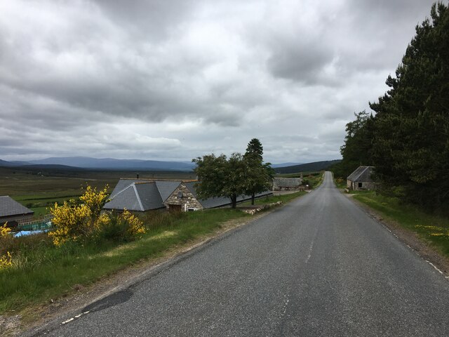
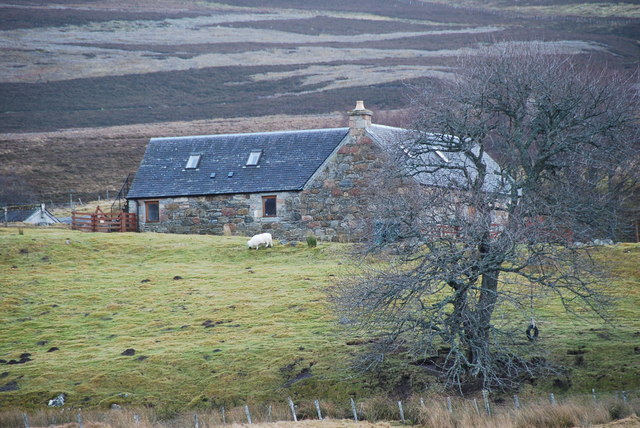
Baddoch is a small village located in Inverness-shire, Scotland. It is situated amidst the beautiful Downs and Moorland region, offering stunning landscapes and an abundance of natural beauty. The village is known for its tranquil and picturesque surroundings, attracting visitors who appreciate the serenity of the countryside.

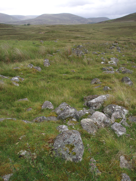
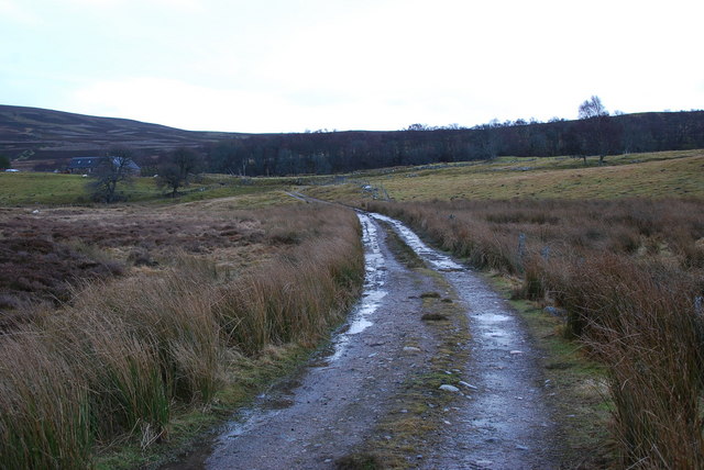
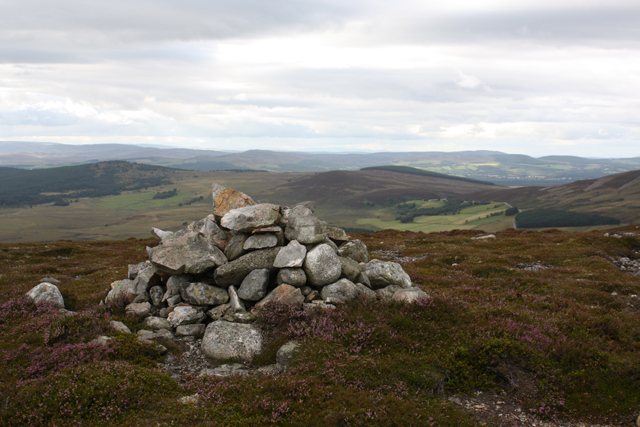
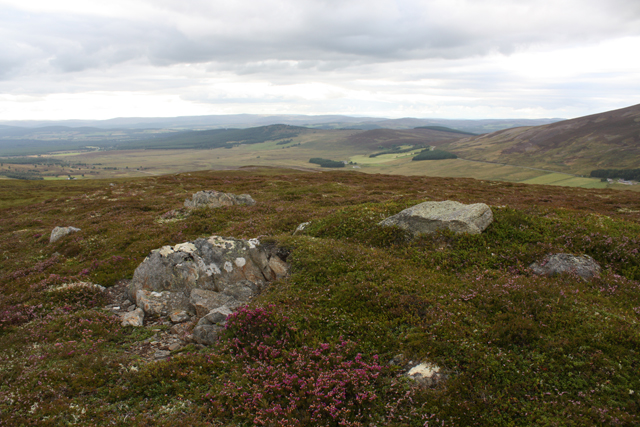
The Downs of Baddoch provide a rolling landscape with lush green fields, gentle slopes, and scattered trees. This area is ideal for walking, hiking, and enjoying outdoor activities such as picnicking or birdwatching. The Downs are also home to a variety of wildlife, including deer, rabbits, and various bird species.

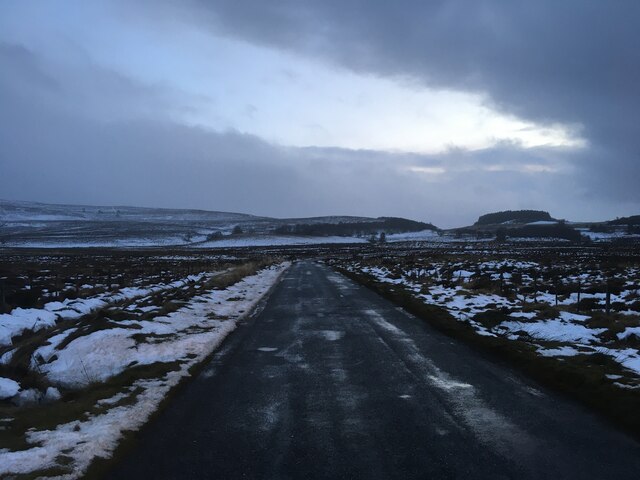
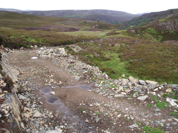
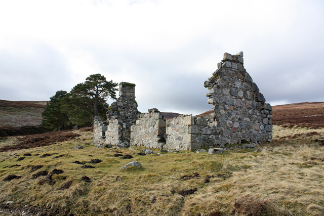
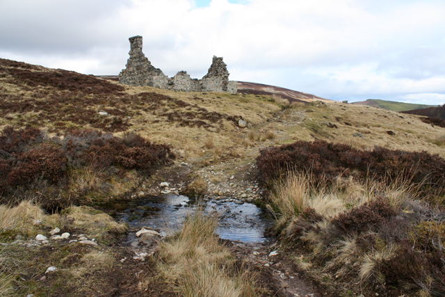
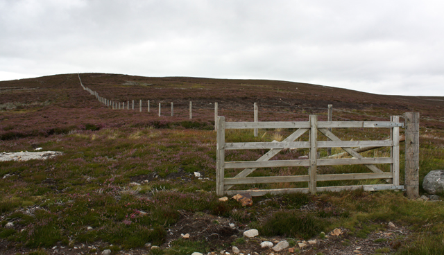
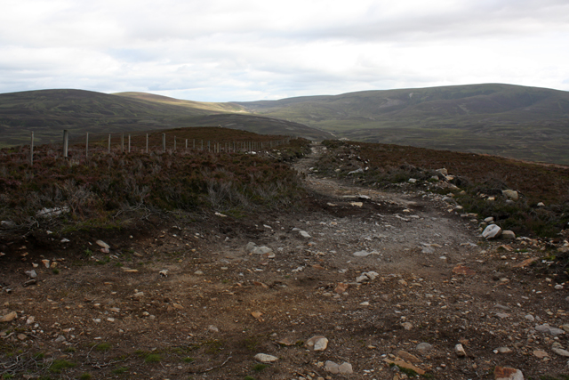
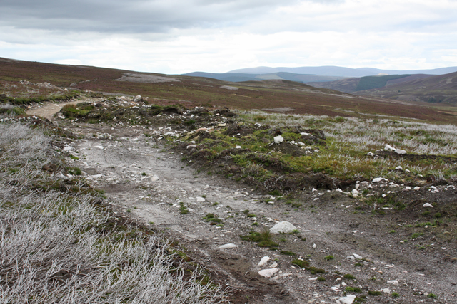
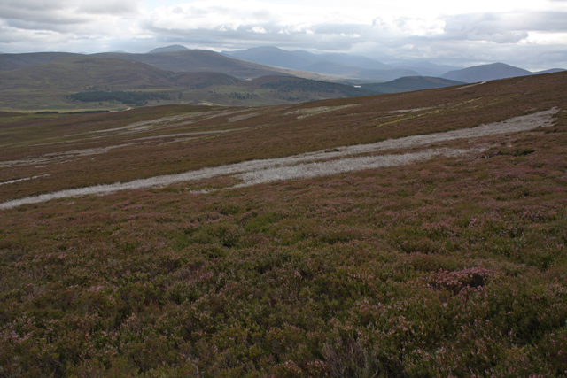
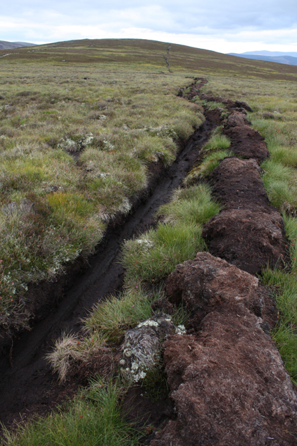
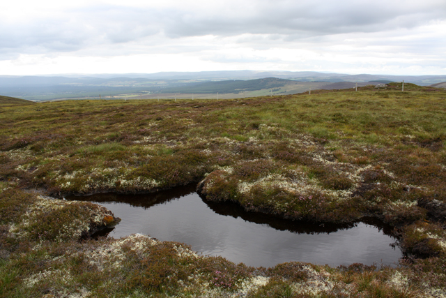
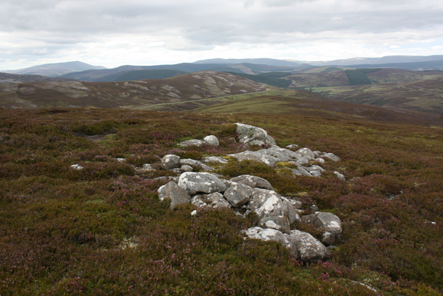
The Moorland near Baddoch is a vast expanse of open, undulating terrain with heather-covered hills and peat bogs. This rugged landscape creates a unique and wild atmosphere, offering a sense of solitude and adventure. Visitors can explore the moorland by foot or bike, taking in the breathtaking views and discovering hidden gems along the way.

Baddoch itself is a small and close-knit community, with a handful of houses and amenities. The village is known for its friendly locals, who warmly welcome visitors and often share their knowledge of the area. Although Baddoch doesn't have extensive facilities, nearby towns offer a range of services and amenities, ensuring that visitors have access to everything they may need during their stay.

Overall, Baddoch in Inverness-shire is a hidden gem for nature lovers and those seeking tranquility. Its Downs and Moorland offer a unique and stunning landscape, providing a peaceful retreat from the hustle and bustle of everyday life.

If you have any feedback on the listing, please let us know in the comments section below.

Baddoch Images

Images are sourced within 2km of 57.254957/-3.5235033 or Grid Reference NJ0819. Thanks to Geograph Open Source API. All images are credited.

Moorland and mountain The near level area of moorland across which runs the minor minor road from the A939 to Nethy Bridge affords a view towards the Cairngorms, snow streaked in the distance. An 'island' of pasture and woodland in the middle distance around a hill above Lainchoil.
Moorland and mountain
The near level area of moorland across which runs the minor minor road from the A939 to Nethy Bridge affords a view towards the Cairngorms, snow streaked in the distance. An 'island' of pasture and woodland in the middle distance around a hill above Lainchoil.
A939 at Dirdhu
A939 at Dirdhu
Minor road towards Nethy Bridge
Track above Allt Iomadaidh Track from Dorback to Bridge of Brown
Track above Allt Iomadaidh
Track from Dorback to Bridge of Brown
Ruin near Allt Iomadaidh North of Letteraiten, not named on old maps.
Ruin near Allt Iomadaidh
North of Letteraiten, not named on old maps.
Lynebeg Crofthouse An isolated croft just off the B970 a few miles out of Nethy Bridge.
Lynebeg Crofthouse
An isolated croft just off the B970 a few miles out of Nethy Bridge.
Croft Track This track goes from the B970 to the Lynebeg Croft.
Croft Track
This track goes from the B970 to the Lynebeg Croft.
Ruined house, Rynelrich Former crofthouse beside a track from Dorback to Bridge of Brown.
Ruined house, Rynelrich
Former crofthouse beside a track from Dorback to Bridge of Brown.
Ford at Rynelrich Crossing an unnamed burn on the track from Dorback to Bridge of Brown.
Ford at Rynelrich
Crossing an unnamed burn on the track from Dorback to Bridge of Brown.
Fence on Baddoch Sheep fencing on the south side of the hill.
Fence on Baddoch
Sheep fencing on the south side of the hill.
End of track on Baddoch The main landrover track ends here and an argo track continues up the hill.
End of track on Baddoch
The main landrover track ends here and an argo track continues up the hill.
Rough track on Baddoch This track is not shown on the OS map. It follows the 500m contour on the SE of the hill, between two lines of grouse butts.
Rough track on Baddoch
This track is not shown on the OS map. It follows the 500m contour on the SE of the hill, between two lines of grouse butts.
Cairn, Baddoch On the higher, SW top.
Cairn, Baddoch
On the higher, SW top.
Moorland, Baddoch On the SE slopes.
Moorland, Baddoch
On the SE slopes.
North East top, Baddoch The lower of the two tops.
North East top, Baddoch
The lower of the two tops.
Ditch, Baddoch In a boggy area between the two tops of the hill.
Ditch, Baddoch
In a boggy area between the two tops of the hill.
Bog pool, Baddoch On the lower NE top.
Bog pool, Baddoch
On the lower NE top.
On Baddoch looking NE Ben Rinnes can be seen on the skyline at top left.
On Baddoch looking NE
Ben Rinnes can be seen on the skyline at top left.
Show me another place!

Baddoch is located at Grid Ref: NJ0819 (Lat: 57.254957, Lng: -3.5235033)

Unitary Authority: Highland

Police Authority: Highlands and Islands

What 3 Words

///rejoiced.open.contacts. Near Grantown-on-Spey, Highland

Nearby Locations

Baddoch

Related Wikis

A939 road

The A939 'Lecht Road' connects the A96 at Nairn on the Moray Coast with the A95 Grantown on Spey, then it continues to the A93 at Ballater by way of the...

Lynbreck Croft

Lynbreck Croft is a 59 hectares (150 acres) farm near Tomintoul in the Highlands of Scotland. The land is held under crofting tenure and the activities...

Abernethy Forest

Abernethy Forest is a remnant of the Caledonian Forest in Strathspey, in the Highland council area of Scotland. It lies within the Cairngorms National...

Nethy Bridge

Nethy Bridge (Scottish Gaelic: Cinn Drochaid or Drochaid Neithich) is a small village in Strathspey in the Highland council area of Scotland. The village...

Nearby Amenities

Located within 500m of 57.254957,-3.5235033
Baddoch
Ele: 568
Natural: peak
Lat/Long: 57.2528644/-3.5290931
Ele: 562
Natural: peak
Lat/Long: 57.2568142/-3.5183801
The data included in this document is from www.openstreetmap.org. The data is made available under ODbL.

Have you been to Baddoch?

Leave your review of Baddoch below (or comments, questions and feedback).