Eskmeals Range
Downs, Moorland in Cumberland Copeland
England
Eskmeals Range
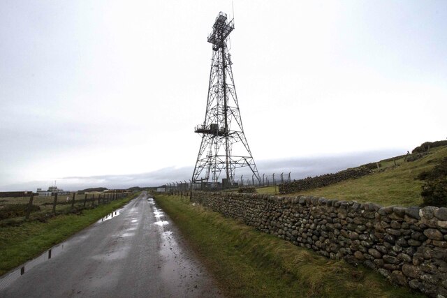
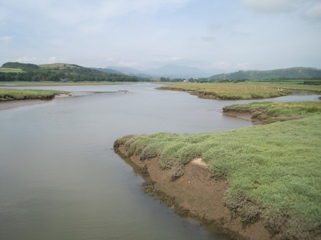
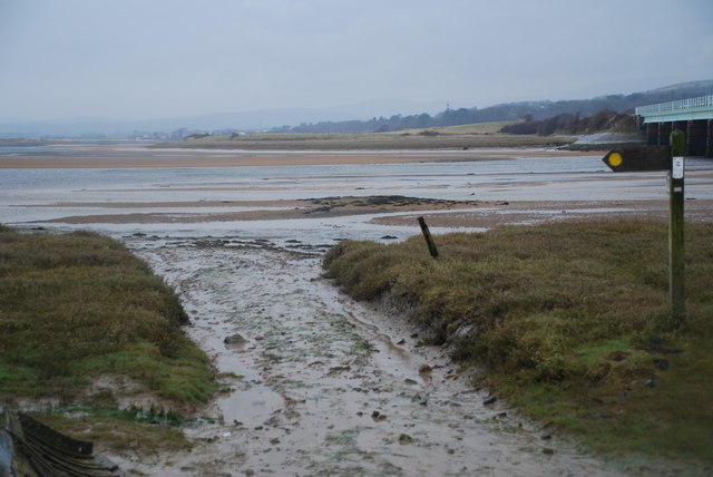
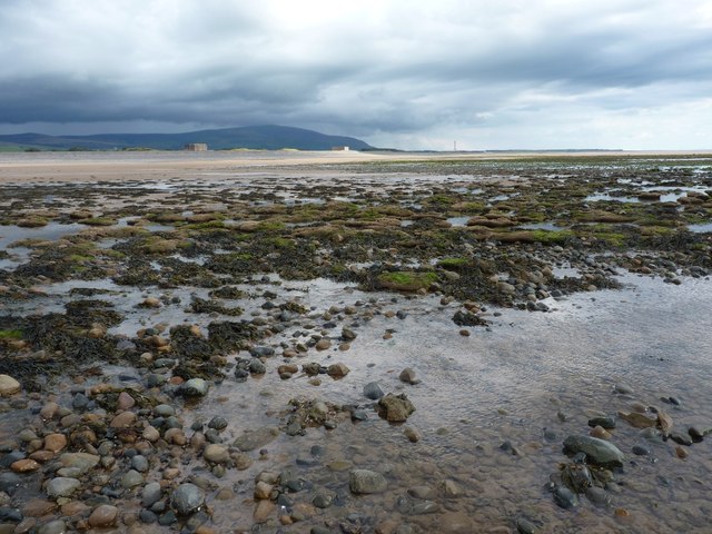
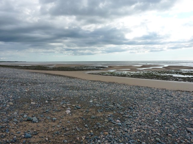
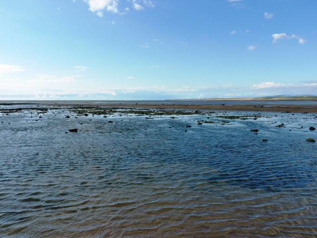
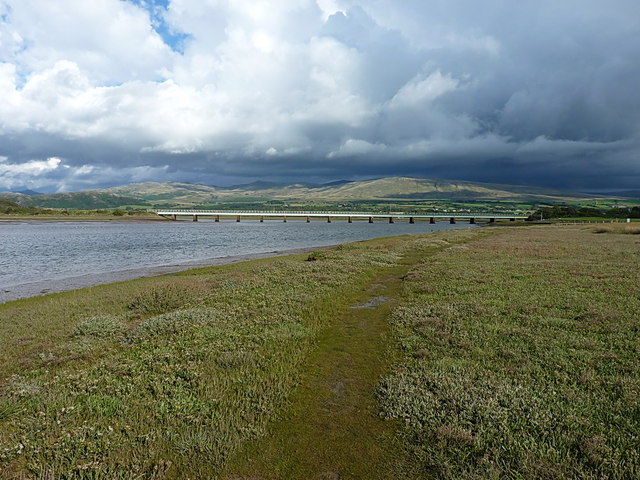
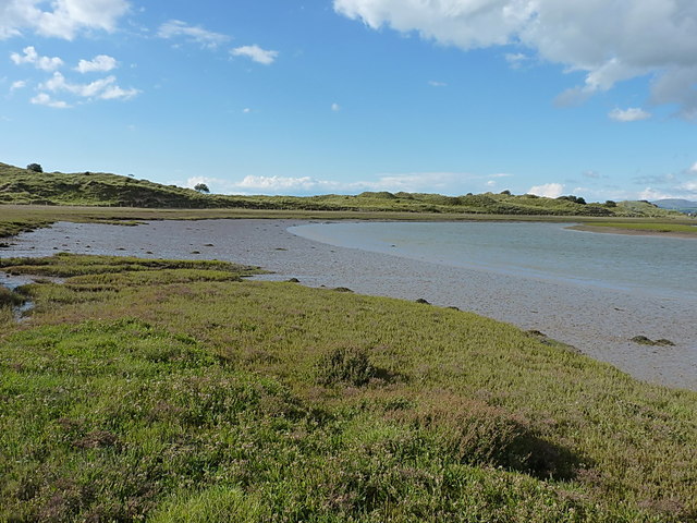
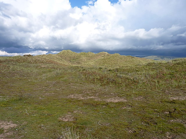
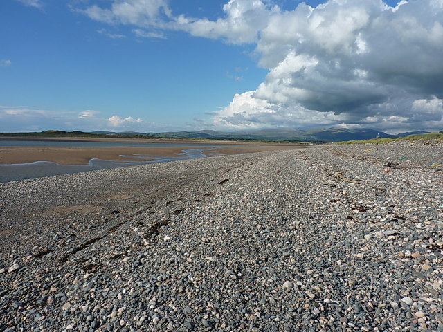
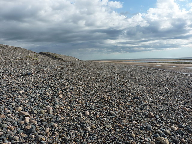
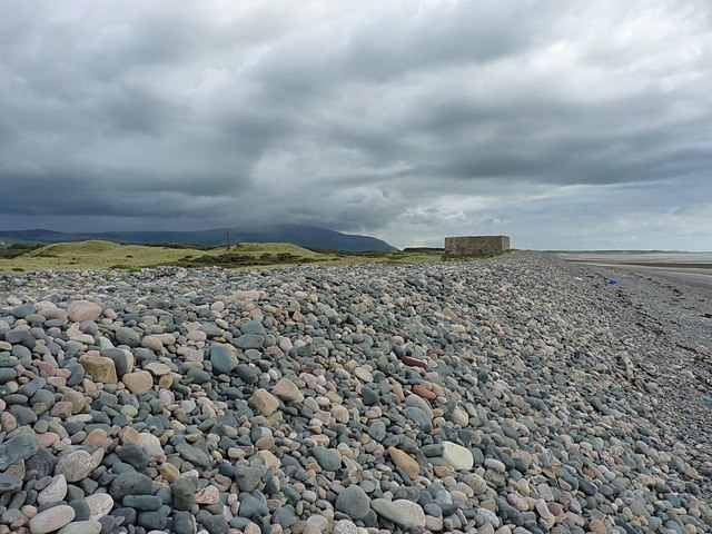
Eskmeals Range, located in Cumberland, England, is a military training area encompassing a vast expanse of downs and moorland. It spans over 7,000 acres and is managed by the Ministry of Defence. The range is situated on the western coast of Cumbria, near the village of Ravenglass.
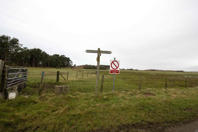
The primary purpose of Eskmeals Range is to provide a realistic training environment for the British Armed Forces, specifically the infantry and artillery units. It offers a diverse terrain with its open grasslands, heather moorland, and rugged hills, making it ideal for conducting various military exercises, including live-firing training, maneuvering drills, and tactical simulations.
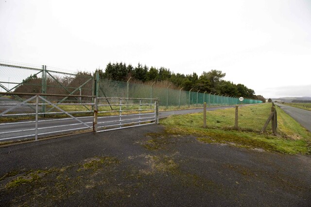
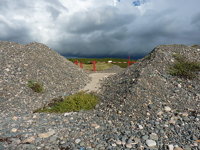
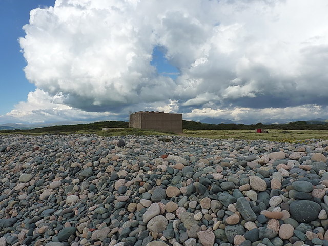
The range is equipped with state-of-the-art facilities, such as firing ranges, observation posts, and training areas. It also offers specialized training facilities for urban operations, allowing troops to practice in a simulated urban environment. Safety is of utmost importance, and strict protocols and measures are in place to ensure the well-being of military personnel and the surrounding community.
Eskmeals Range not only serves as a training ground but also plays a crucial role in supporting the local economy. It provides employment opportunities for the local population, both directly and indirectly, through maintenance, administration, and support services.
Additionally, the range is a designated Site of Special Scientific Interest (SSSI) due to its rich biodiversity. It is home to a variety of plant and animal species, including rare birds, butterflies, and wildflowers. Conservation efforts are undertaken to ensure the preservation of this unique ecosystem.
Overall, Eskmeals Range is a significant military training area that offers a challenging and realistic environment for British forces, while also contributing to the local economy and conserving the natural heritage of Cumberland.
If you have any feedback on the listing, please let us know in the comments section below.
Eskmeals Range Images
Images are sourced within 2km of 54.321426/-3.4156676 or Grid Reference SD0892. Thanks to Geograph Open Source API. All images are credited.

Eskmeals Range is located at Grid Ref: SD0892 (Lat: 54.321426, Lng: -3.4156676)
Administrative County: Cumbria
District: Copeland
Police Authority: Cumbria
What 3 Words
///sprain.decently.dream. Near Seascale, Cumbria
Nearby Locations
Related Wikis

Eskmeals railway station
Eskmeals is a former railway station in the Eskmeals area of the Cumbrian coast, England. It was located on the Cumbrian Coast Line, south of Ravenglass...

River Esk, Cumbria
The River Esk, sometimes called the Cumbrian Esk, is a river in Cumbria, England. It flows for approximately 25 km (15.5 miles) from its source in the...
Stubb Place
Stubb Place is a small settlement in western Cumbria, England. Known by locals in Waberthwaite as marshside, due to the name of the nearby cottages. It...

Waberthwaite
Waberthwaite is a small, former rural civil parish (about 4 square miles in area) on the south bank of the estuary of the River Esk, in Copeland, Cumbria...

St John's Church, Waberthwaite
St John's Church is situated on the south bank of the River Esk in the hamlet of Hall Waberthwaite in the former civil parish of Waberthwaite (now part...
Glannoventa
Glannoventa is a Roman fort associated with the Roman naval base at Ravenglass in Cumbria, England. Its name is derived from the Latin place-name Clanoventa...
National Cycle Route 72
National Route 72 of the National Cycle Network, in Northern England is also called "Hadrian's Cycleway". It starts at Kendal and makes its way around...
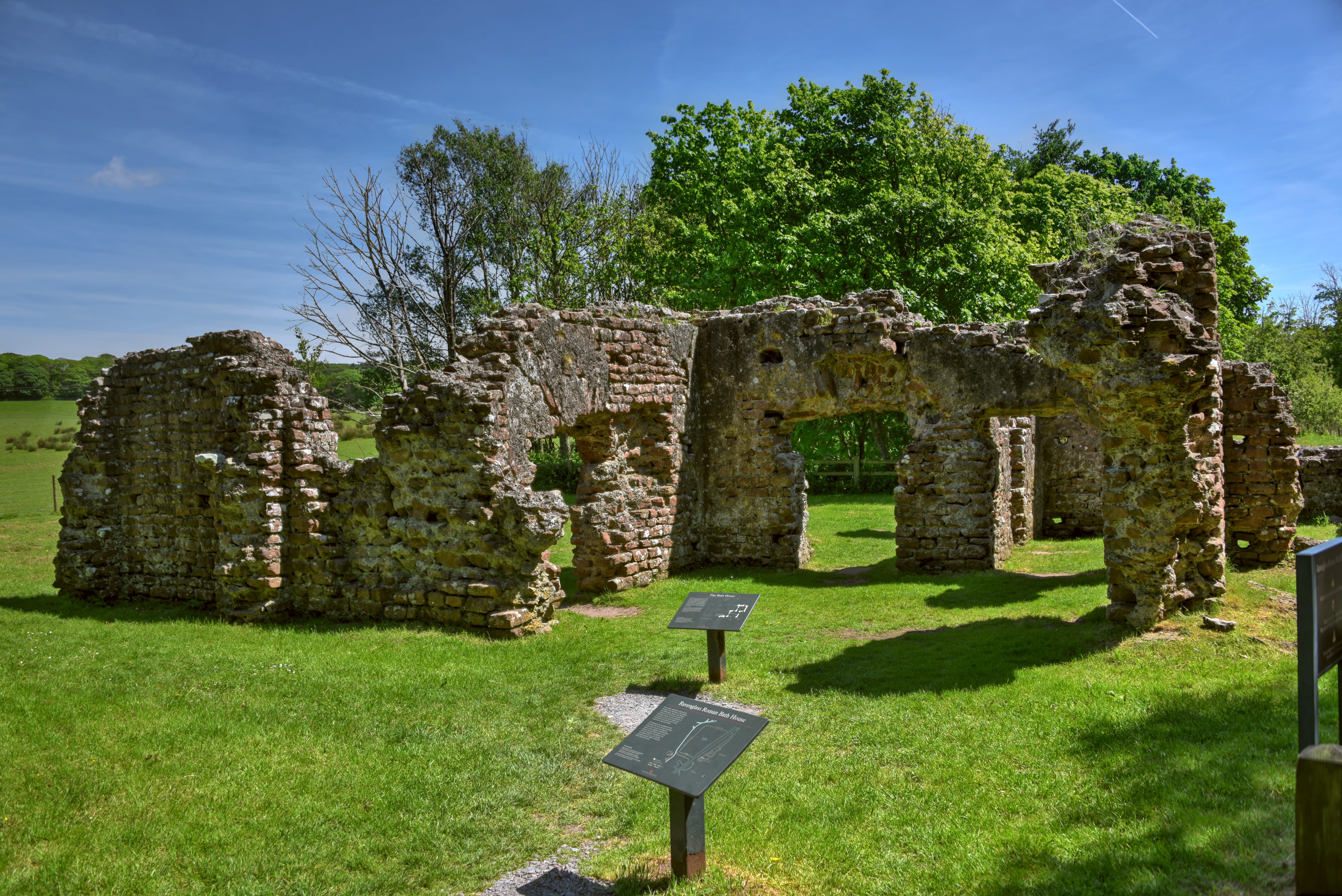
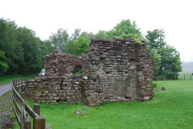
Ravenglass Roman Bath House
Ravenglass Roman Bath House (also known as Walls Castle) is a ruined ancient Roman bath house at Ravenglass, Cumbria, England. Belonging to a 2nd-century...
Nearby Amenities
Located within 500m of 54.321426,-3.4156676Have you been to Eskmeals Range?
Leave your review of Eskmeals Range below (or comments, questions and feedback).