Greengill Tongue
Downs, Moorland in Cumberland Copeland
England
Greengill Tongue

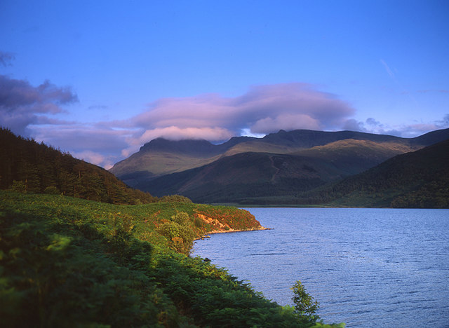
Greengill Tongue is a region situated in the county of Cumberland, England. Renowned for its picturesque landscape, it encompasses the areas of Downs, Moorland, and surrounding countryside. The region is characterized by vast expanses of rolling hills, lush green meadows, and clusters of dense woodland.
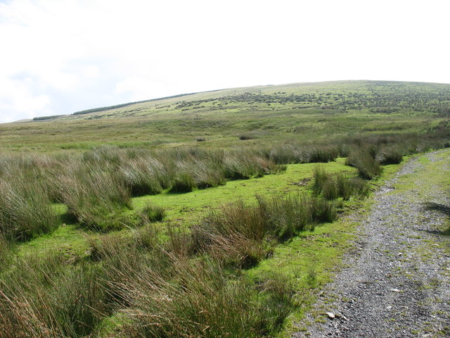
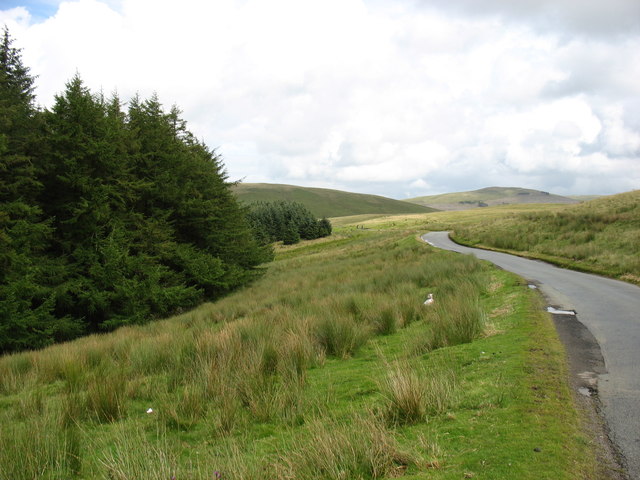
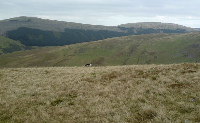
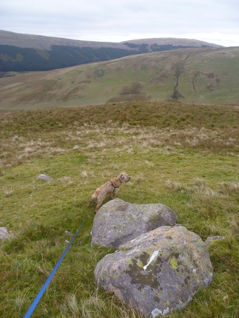
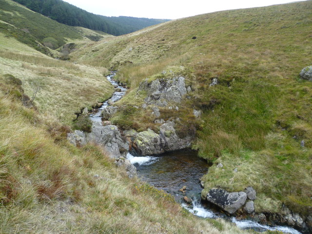
The Downs of Greengill Tongue offer breathtaking views, with their gently sloping grasslands stretching as far as the eye can see. These open spaces provide a haven for a variety of flora and fauna, making it a popular destination for nature enthusiasts and hikers alike. The Moorland, on the other hand, provides a stark contrast with its rugged terrain, covered in heather and scattered with rocky outcrops.
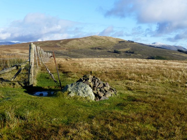
The area is dotted with charming villages and hamlets, each with their own unique character and architectural heritage. Traditional stone cottages, quaint churches, and historic farmhouses add to the charm and allure of the region. Local residents take pride in their close-knit communities and often participate in traditional agricultural practices, further enhancing the rural ambiance.
Greengill Tongue offers a range of recreational activities for visitors. The rolling hills and open spaces are perfect for outdoor pursuits such as walking, cycling, and horse riding. Additionally, the region is renowned for its fishing opportunities, with several rivers and lakes providing an ideal spot for anglers.
Overall, Greengill Tongue, Cumberland (Downs, Moorland) is a picturesque region that showcases the natural beauty and rich history of the English countryside. Visitors can immerse themselves in the tranquil surroundings, explore charming villages, and indulge in various outdoor activities, creating a memorable experience in this idyllic part of the country.
If you have any feedback on the listing, please let us know in the comments section below.
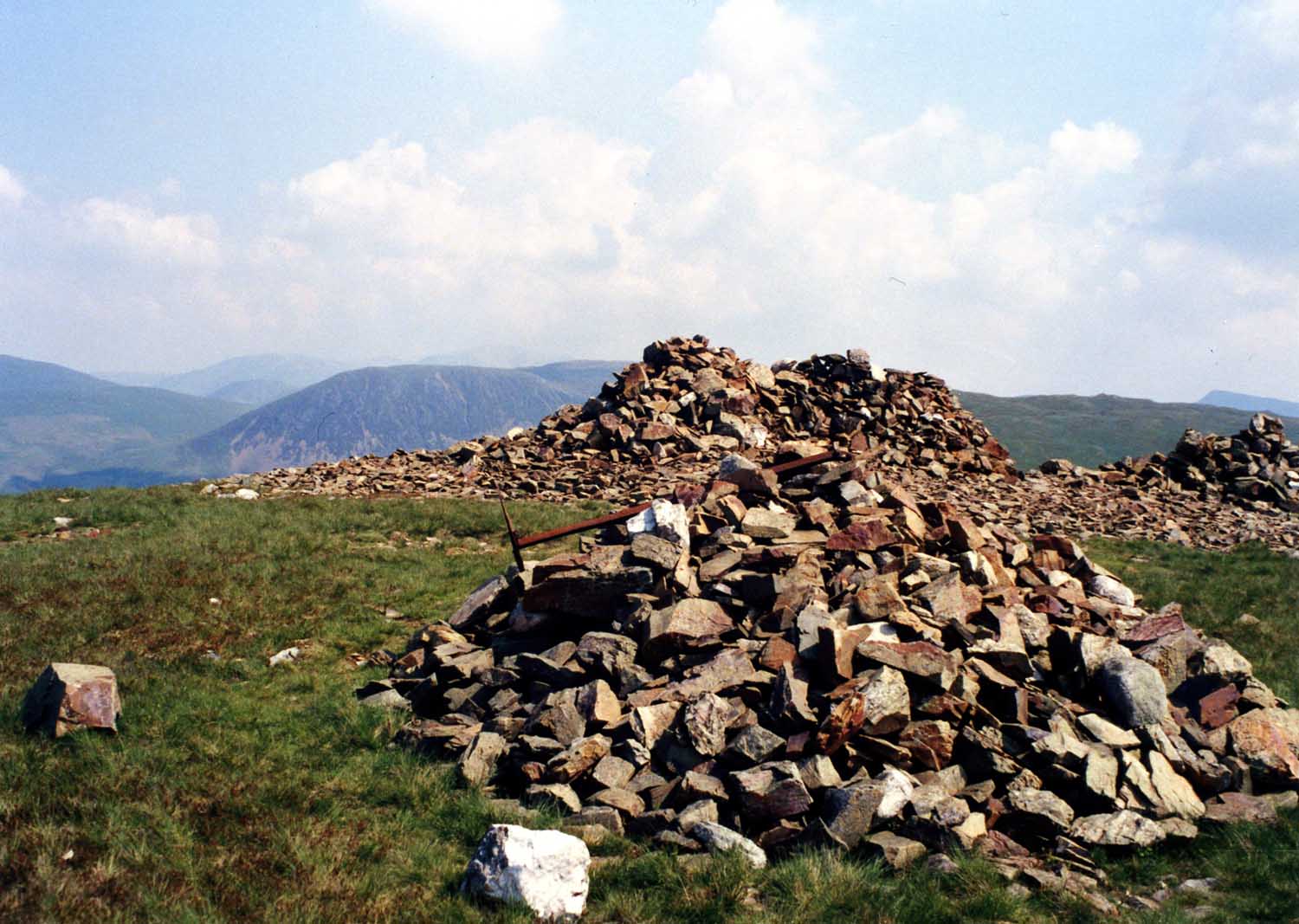
Greengill Tongue Images
Images are sourced within 2km of 54.50742/-3.428842 or Grid Reference NY0713. Thanks to Geograph Open Source API. All images are credited.


Greengill Tongue is located at Grid Ref: NY0713 (Lat: 54.50742, Lng: -3.428842)
Administrative County: Cumbria
District: Copeland
Police Authority: Cumbria
What 3 Words
///workshops.hides.variety. Near Frizington, Cumbria
Nearby Locations
Related Wikis
Ennerdale and Kinniside
Ennerdale and Kinniside is a civil parish in Copeland, Cumbria, England. At the 2011 census it had a population of 220. The parish has an area of 8,763...
Grike (Lake District)
Grike is a hill in the west of the English Lake District, near Ennerdale Water. It is part of the Lank Rigg group, the most westerly Wainwright as the...
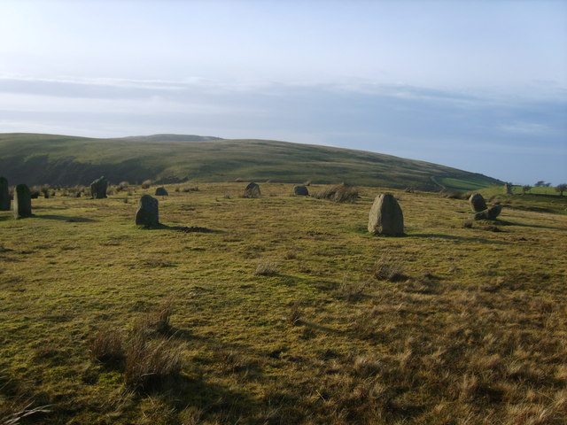
Kinniside Stone Circle
Kinniside Stone Circle (or Blakeley Raise Stone Circle) is a reconstructed stone circle in the civil parish of Ennerdale and Kinniside in Cumbria, England...

Ennerdale Rural District
Ennerdale was a rural district in the county of Cumberland in England from 1934 to 1974. It was created in 1934 by a County Review Order, by the merger...
Nearby Amenities
Located within 500m of 54.50742,-3.428842Have you been to Greengill Tongue?
Leave your review of Greengill Tongue below (or comments, questions and feedback).