Ennerdale and Kinniside
Civil Parish in Cumberland Copeland
England
Ennerdale and Kinniside

Ennerdale and Kinniside is a civil parish located in the county of Cumberland, England. Situated in the western part of the county, it covers an area of approximately 92 square kilometers. The parish is named after the two main settlements within its boundaries - Ennerdale Bridge and Kinniside.
Ennerdale Bridge is a small village nestled in the picturesque Ennerdale Valley. Surrounded by the stunning Lake District National Park, it is a popular destination for outdoor enthusiasts, offering a range of activities such as hiking, cycling, and fishing. The village itself has a quaint charm, with traditional stone-built houses and a handful of amenities including a church, a school, and a few local shops.
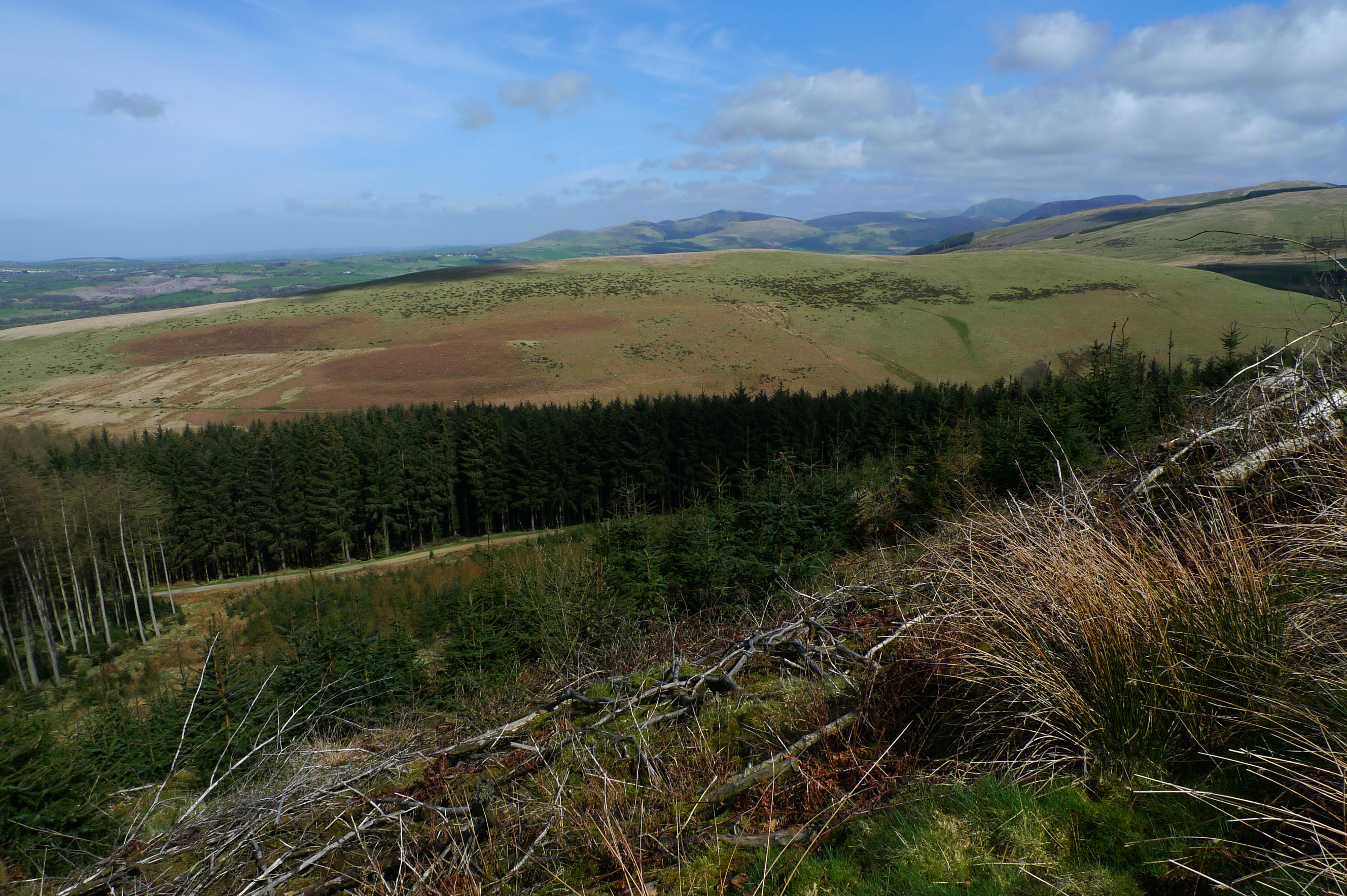
Kinniside, on the other hand, is a hamlet located about 5 kilometers northeast of Ennerdale Bridge. It is a more secluded and rural area, surrounded by beautiful countryside and rolling hills. The hamlet is known for its tranquil atmosphere and is an ideal location for those seeking a peaceful retreat away from the hustle and bustle of city life.
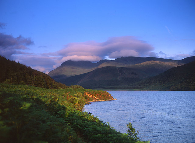
The region is rich in natural beauty, with the Ennerdale Water, the only lake in the Lake District without a road alongside it, being a major highlight. The lake is a popular spot for boating and wildlife watching, with its unspoiled shores and diverse flora and fauna.
Overall, Ennerdale and Kinniside, Cumberland is a picturesque civil parish that offers a range of outdoor activities, stunning natural landscapes, and a peaceful rural atmosphere. It is a perfect destination for nature lovers and those looking to escape the pressures of modern life.
If you have any feedback on the listing, please let us know in the comments section below.
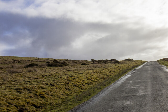
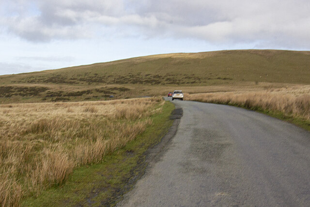
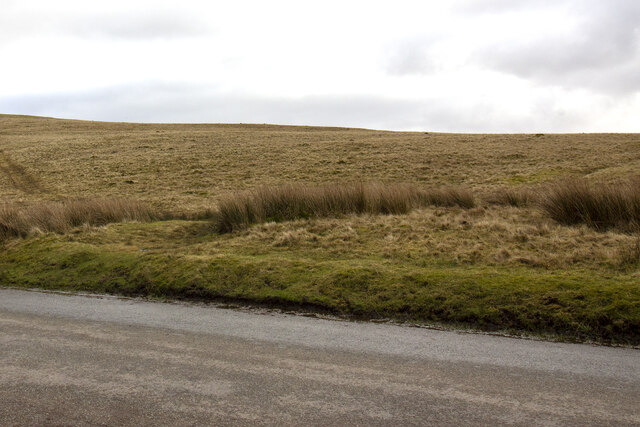
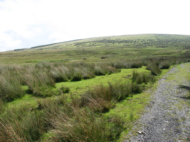
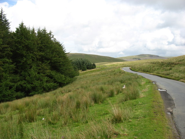
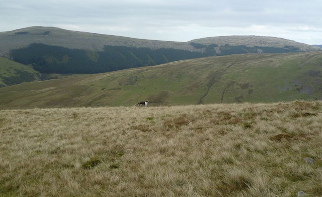
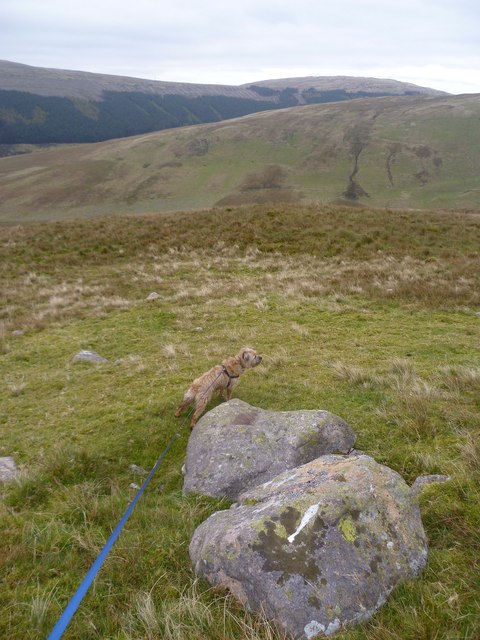
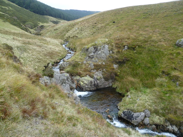
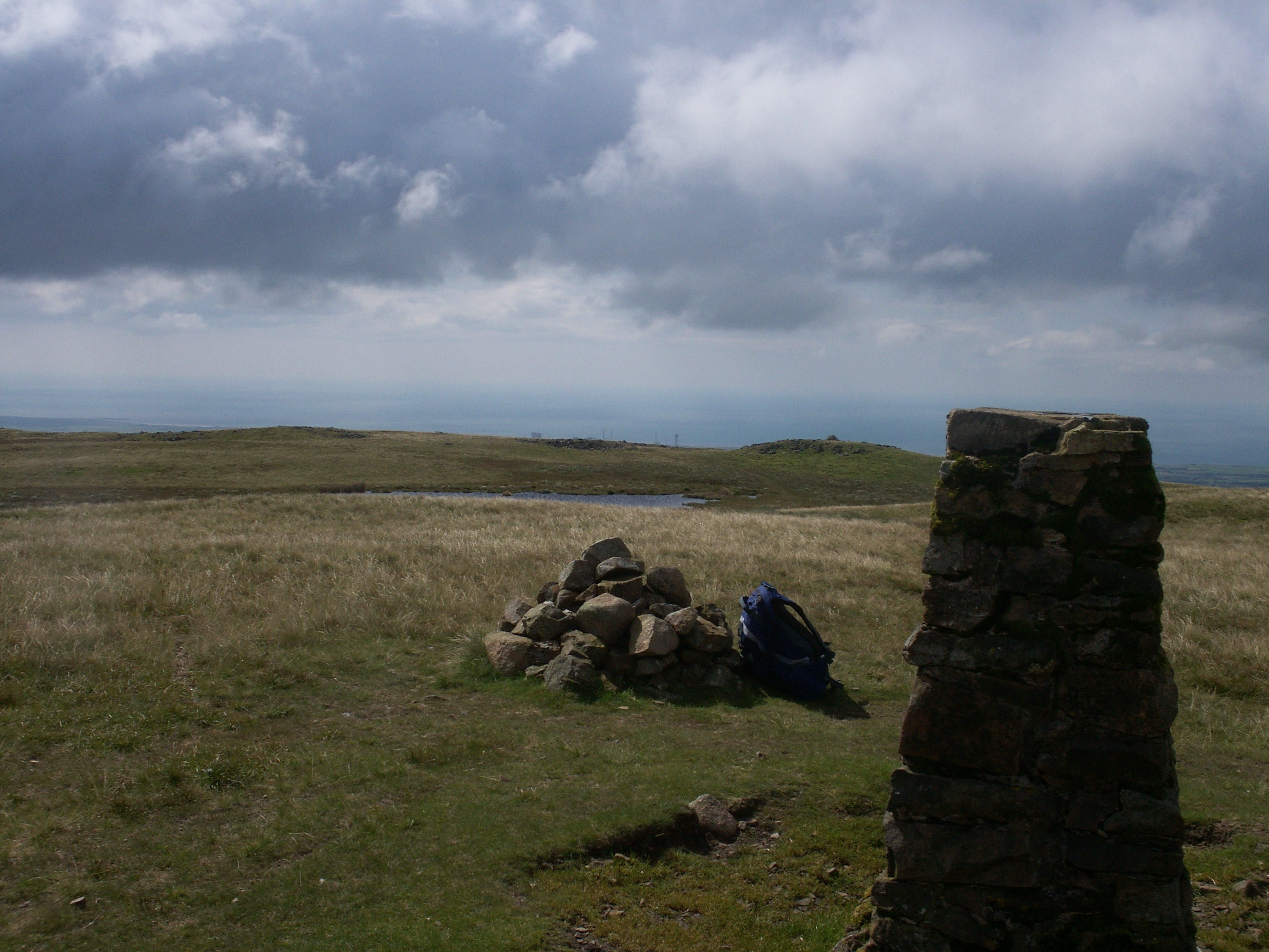
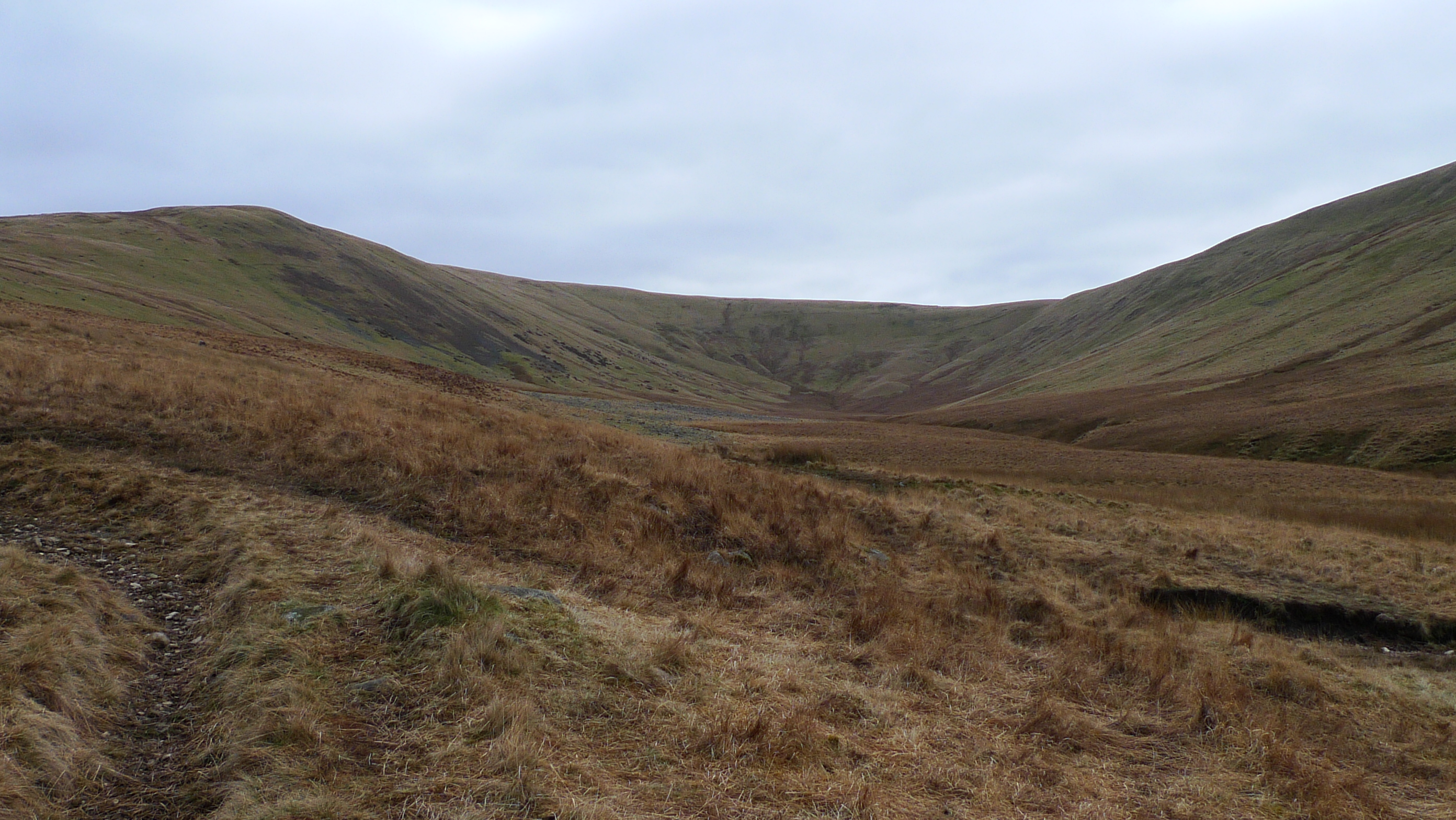
Ennerdale and Kinniside Images
Images are sourced within 2km of 54.504221/-3.433176 or Grid Reference NY0713. Thanks to Geograph Open Source API. All images are credited.


Ennerdale and Kinniside is located at Grid Ref: NY0713 (Lat: 54.504221, Lng: -3.433176)
Administrative County: Cumbria
District: Copeland
Police Authority: Cumbria
What 3 Words
///equipping.tempting.defensive. Near Cleator Moor, Cumbria
Nearby Locations
Related Wikis
Ennerdale and Kinniside
Ennerdale and Kinniside is a civil parish in Copeland, Cumbria, England. At the 2011 census it had a population of 220.The parish has an area of 8,763...
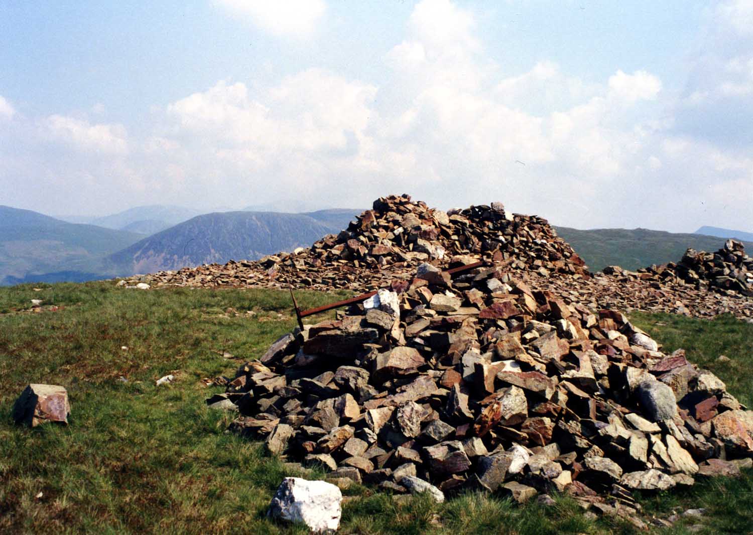
Grike (Lake District)
Grike is a hill in the west of the English Lake District, near Ennerdale Water. It is part of the Lank Rigg group, the most westerly Wainwright as the...
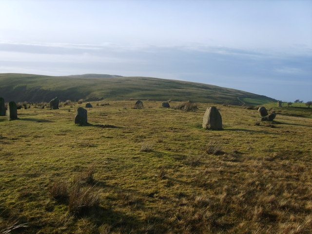
Kinniside Stone Circle
Kinniside Stone Circle (or Blakeley Raise Stone Circle) is a reconstructed stone circle in the civil parish of Ennerdale and Kinniside in Cumbria, England...

Blakeley Raise
Blakeley Raise is a fell in the English Lake District, standing at 389m. Unlike its neighbours Grike, Crag Fell and Lank Rigg it is not listed as a Wainwright...

Ennerdale Rural District
Ennerdale was a rural district in the county of Cumberland in England from 1934 to 1974. It was created in 1934 by a County Review Order, by the merger...
Flat Fell
Flat Fell is a hill located on the edge of the English Lake District, standing at 272m. It is included in Alfred Wainwright's Outlying Fells of Lakeland...
Lank Rigg
Lank Rigg is a fell in the English Lake District. It stands to the south of Ennerdale in the Western Fells. A sprawling hill with gentle grassy slopes...
Whoap
Whoap is a hill located near the western edge of the English Lake District, standing at 511 m. It is part of the Lank Rigg group and is separated from...
Nearby Amenities
Located within 500m of 54.504221,-3.433176Have you been to Ennerdale and Kinniside?
Leave your review of Ennerdale and Kinniside below (or comments, questions and feedback).