Bleng Fell
Downs, Moorland in Cumberland Copeland
England
Bleng Fell
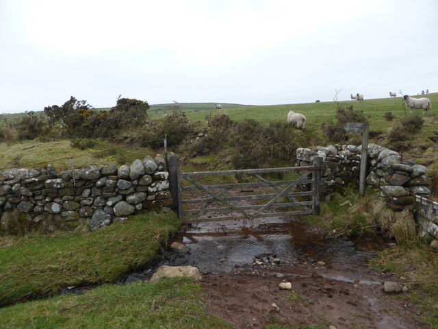
Bleng Fell is a prominent hill located in the county of Cumberland, England. It is part of the Lake District National Park and sits within the Western Fells region, offering breathtaking views of the surrounding countryside. The fell stands at an elevation of 573 meters (1,880 feet) and is a popular destination for hikers, nature enthusiasts, and adventurers alike.
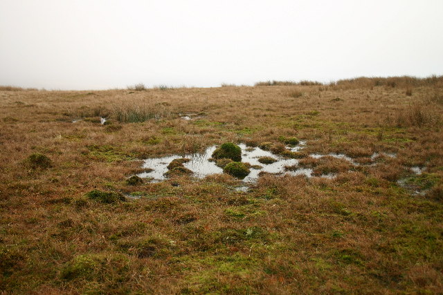
The terrain of Bleng Fell is a combination of downs, moorland, and rocky outcrops, providing a diverse and challenging landscape for outdoor activities. The summit is marked by a cairn and offers panoramic views of the nearby fells, including Pillar, Haycock, and Scoat Fell.
The area surrounding Bleng Fell is rich in wildlife, with an abundance of bird species, including peregrine falcons, merlins, and red grouse. The fell is also home to a variety of flora, including heather, bilberry, and cotton grass, which add to its natural beauty.
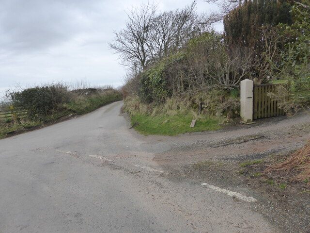
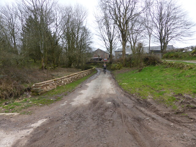
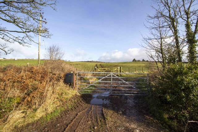
There are several walking routes that allow visitors to explore Bleng Fell and its surroundings. One popular option is to start from the village of Ennerdale Bridge and follow a path that leads to the summit. This route provides a challenging ascent but rewards hikers with stunning views along the way.
Bleng Fell offers a peaceful and tranquil escape from the bustling cities, allowing visitors to immerse themselves in the beauty of nature. Whether it is a leisurely walk or a more adventurous climb, Bleng Fell provides an unforgettable experience for nature lovers and outdoor enthusiasts.
If you have any feedback on the listing, please let us know in the comments section below.
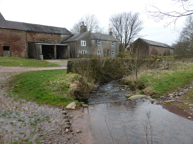
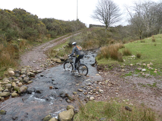
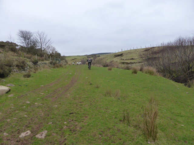
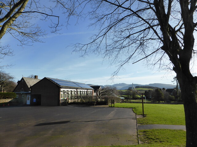
Bleng Fell Images
Images are sourced within 2km of 54.436107/-3.4267899 or Grid Reference NY0705. Thanks to Geograph Open Source API. All images are credited.
Bleng Fell is located at Grid Ref: NY0705 (Lat: 54.436107, Lng: -3.4267899)
Administrative County: Cumbria
District: Copeland
Police Authority: Cumbria
What 3 Words
///magically.boggles.onions. Near Seascale, Cumbria
Nearby Locations
Related Wikis

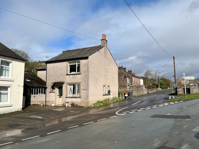
Wellington, Cumbria
Wellington is a small village in the civil parish of Gosforth, Borough of Copeland, Cumbria, England, lying north east of Gosforth beside the River Bleng...
Ponsonby Fell
Ponsonby Fell is a hill in the west of the English Lake District, near Gosforth, in the Borough of Copeland, Cumbria. It is the subject of a chapter of...
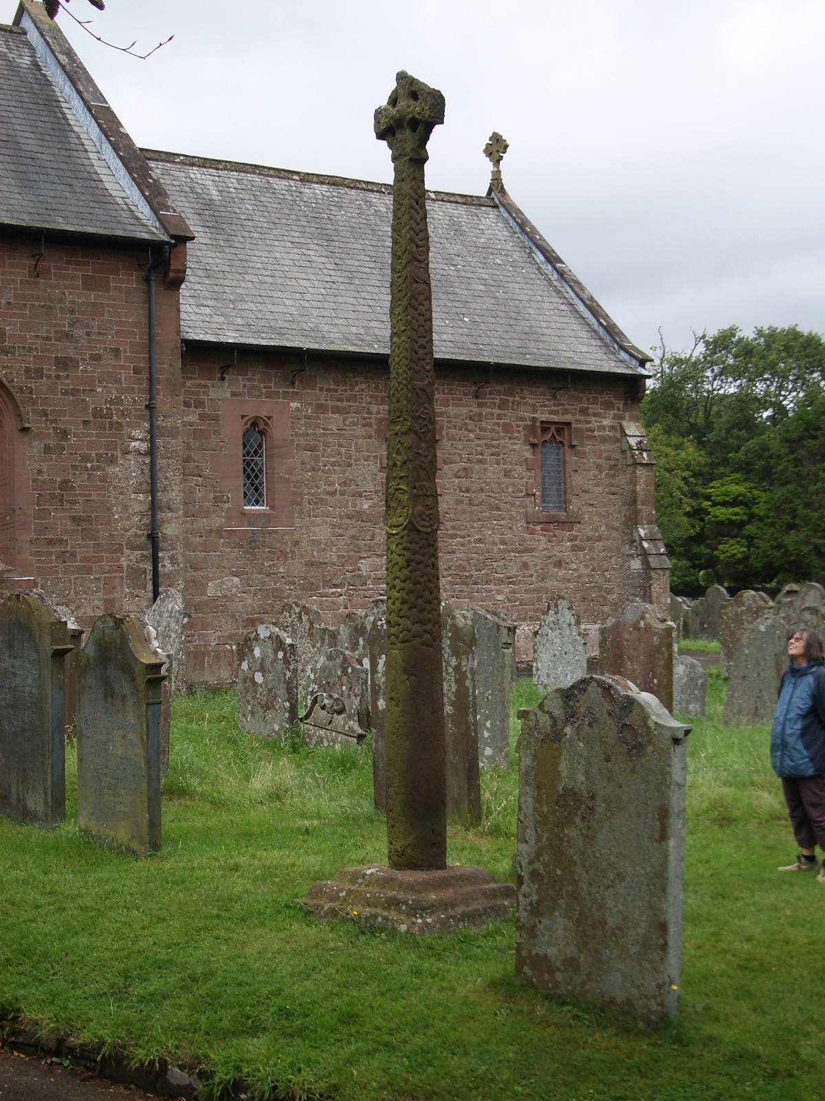
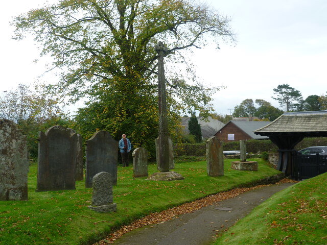
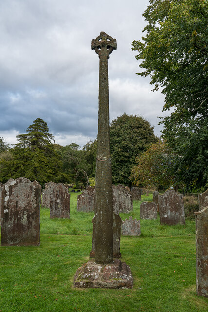
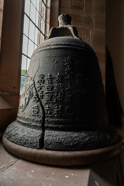
Gosforth Cross
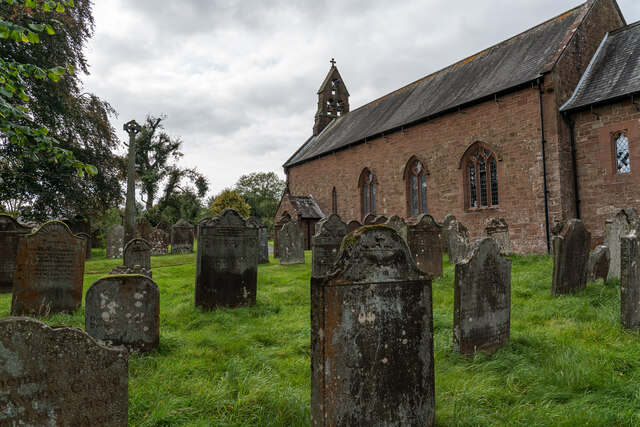
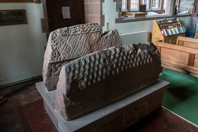
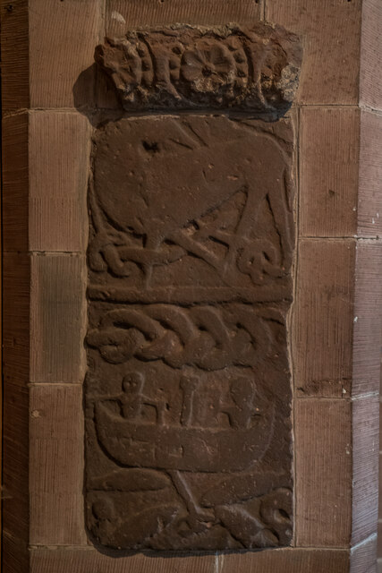
The Gosforth Cross is a large stone monument in St Mary's churchyard at Gosforth in the English county of Cumbria, dating to the first half of the 10th...

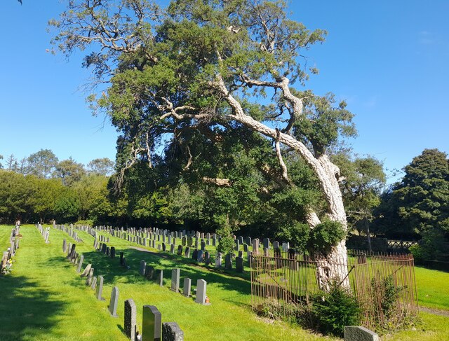
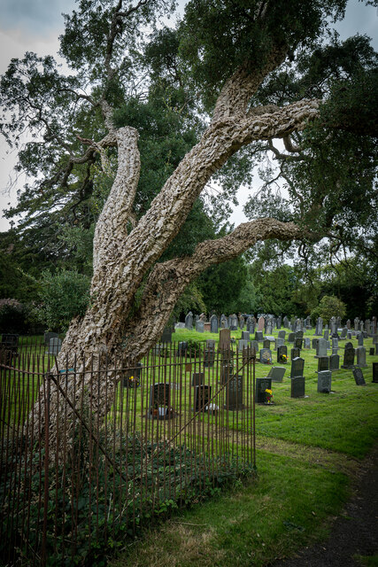
St Mary's Church, Gosforth
St Mary's Church in the village of Gosforth, Cumbria, England, is an active Anglican parish church in the deanery of Calder, the archdeaconry of West Cumberland...
Gosforth, Cumbria
Gosforth is a village, civil parish and electoral ward in the Lake District, in the Borough of Copeland in Cumbria, England. Historically in Cumberland...

Ponsonby, Cumbria
Ponsonby is a village and civil parish in the Borough of Copeland of the county of Cumbria, England. Ponsonby has a church which was constructed in 1840...

Borough of Copeland
The Borough of Copeland was a local government district with borough status in western Cumbria, England. Its council was based in Whitehaven. It was...

Copeland (UK Parliament constituency)
Copeland is a constituency in Cumbria created in 1983 and represented in the House of Commons of the UK Parliament. The constituency is represented in...
Nearby Amenities
Located within 500m of 54.436107,-3.4267899Have you been to Bleng Fell?
Leave your review of Bleng Fell below (or comments, questions and feedback).