Hallsenna Moor
Downs, Moorland in Cumberland Copeland
England
Hallsenna Moor
Hallsenna Moor is a vast expanse of moorland located in the county of Cumberland, England. Situated in the northern part of the county, it covers an area of approximately 5 square miles. The moorland is part of the larger Hallsenna Moor and Beckfoot Nature Reserve, which is managed by the Cumbria Wildlife Trust.
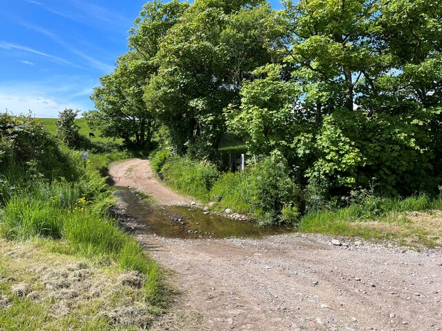
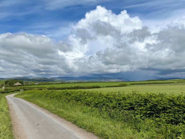
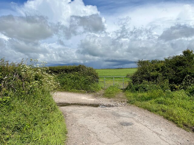
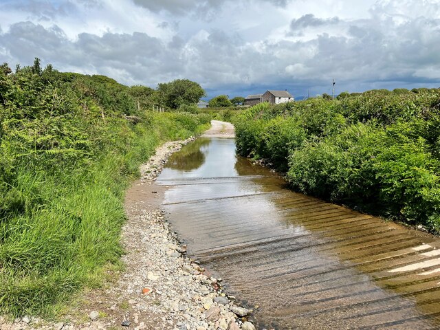
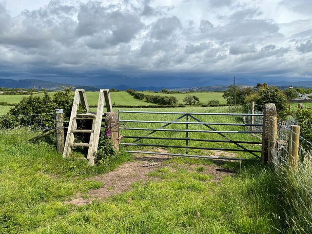
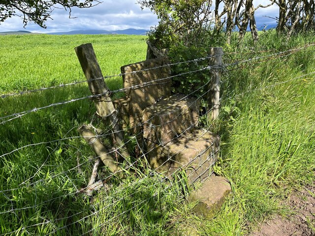
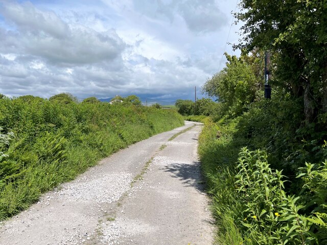
The landscape of Hallsenna Moor is characterized by rolling hills, scattered with heather, bracken, and patches of boggy ground. The moorland is surrounded by low-lying farmland and is bordered by the picturesque River Ellen to the east. The area is known for its remote and wild beauty, offering stunning panoramic views of the surrounding countryside.
Hallsenna Moor is home to a variety of wildlife species, including birds such as curlews, lapwings, and skylarks, which can be spotted nesting and foraging in the moorland. The area also supports a diverse range of plant life, with heather dominating the landscape and providing a vibrant purple hue during the summer months.
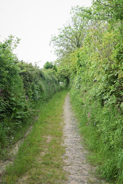
The moorland is a popular destination for outdoor enthusiasts, offering opportunities for walking, hiking, and birdwatching. There are several footpaths and trails that crisscross the area, allowing visitors to explore the diverse habitats and enjoy the tranquil surroundings.
Hallsenna Moor provides an important habitat for both resident and migratory species, contributing to the overall biodiversity of the region. It serves as a valuable conservation area, ensuring the preservation of the unique flora and fauna that call this moorland home.
If you have any feedback on the listing, please let us know in the comments section below.
Hallsenna Moor Images
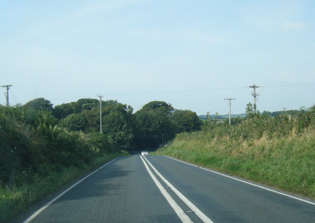
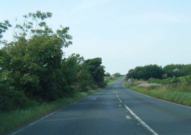
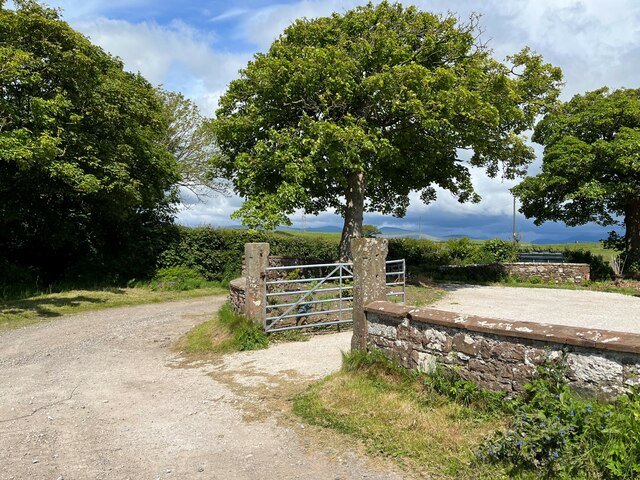
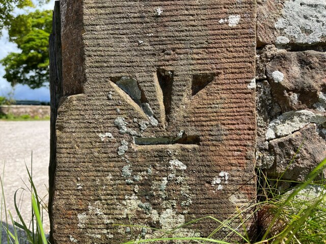
Images are sourced within 2km of 54.391634/-3.4434815 or Grid Reference NY0600. Thanks to Geograph Open Source API. All images are credited.


Hallsenna Moor is located at Grid Ref: NY0600 (Lat: 54.391634, Lng: -3.4434815)
Administrative County: Cumbria
District: Copeland
Police Authority: Cumbria
What 3 Words
///deduced.interrupt.uses. Near Seascale, Cumbria
Nearby Locations
Related Wikis
Drigg
Drigg is a village situated in the civil parish of Drigg and Carleton on the West Cumbria coast of the Irish Sea and on the boundary of the Lake District...
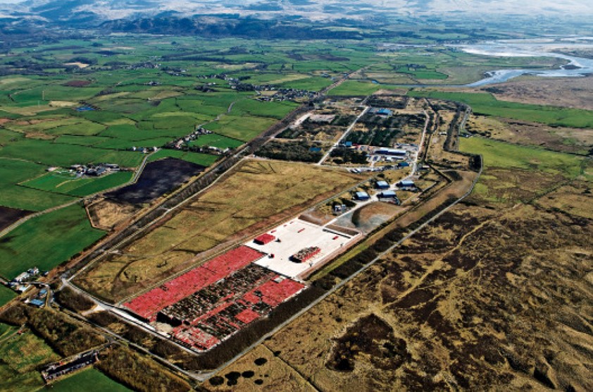
Low Level Waste Repository
The Low Level Waste Repository is the UK's central long-term store for low-level radioactive waste located on the West Cumbrian coast near Drigg village...
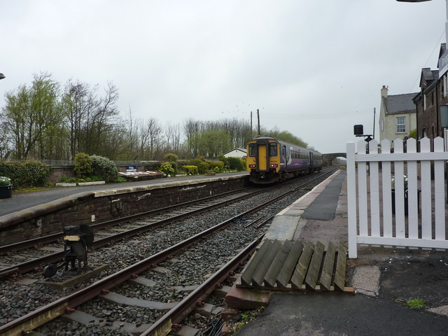
Drigg railway station
Drigg is a railway station on the Cumbrian Coast Line, which runs between Carlisle and Barrow-in-Furness. The station, situated 31 miles (50 km) north...

Holmrook
Holmrook is a linear village in the English county of Cumbria. It lies along the A595 road on the west banks of the River Irt. The B5344 road connects...
Nearby Amenities
Located within 500m of 54.391634,-3.4434815Have you been to Hallsenna Moor?
Leave your review of Hallsenna Moor below (or comments, questions and feedback).