Addyhouse Wood

Wood, Forest in Cumberland Copeland

England

Addyhouse Wood

A595 in Holmrook village
A595 in Holmrook village Credit: Colin Pyle

Addyhouse Wood is a picturesque woodland located in the county of Cumberland, in the northwest region of England. Covering an area of approximately 100 acres, it is a beautiful example of a mixed deciduous forest. The wood is situated near the village of Addyhouse, which lends its name to the woodland.

The woodland is characterized by a diverse range of tree species, including oak, beech, ash, and birch. These trees create a stunning tapestry of colors throughout the seasons, with vibrant greens in spring and summer, and rich hues of orange, red, and gold in autumn. The wood is also home to a variety of wildlife, such as deer, squirrels, and a range of bird species.

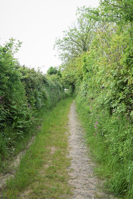
Addyhouse Wood offers a tranquil escape for nature lovers and outdoor enthusiasts. It is a popular destination for walking, hiking, and birdwatching. The wood features well-maintained footpaths that meander through the trees, allowing visitors to explore its beauty at their own pace.

The wood is managed by a local conservation organization, which ensures its preservation and protection. This includes maintaining the health and vitality of the trees, managing invasive species, and promoting biodiversity within the woodland ecosystem.

Visitors to Addyhouse Wood can enjoy the peace and tranquility of nature, surrounded by the sights and sounds of the forest. It is a place where one can escape the hustle and bustle of everyday life and immerse themselves in the beauty of the natural world.

If you have any feedback on the listing, please let us know in the comments section below.

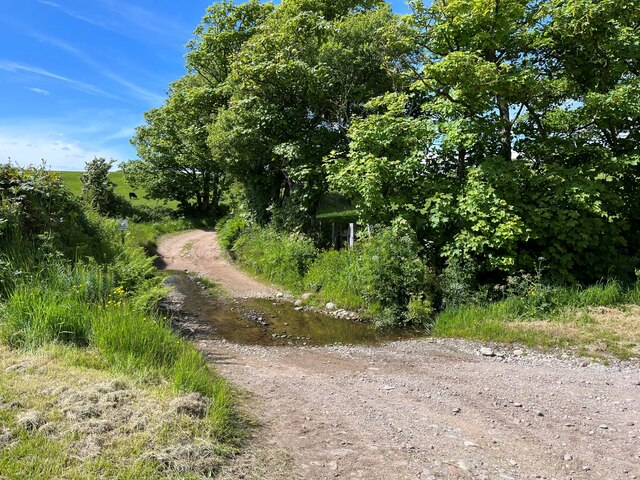
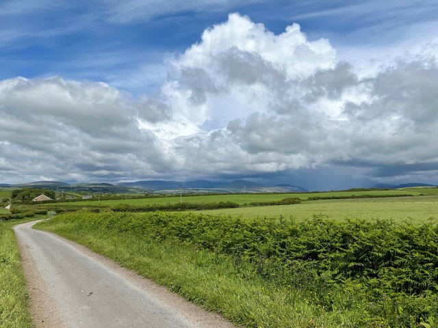
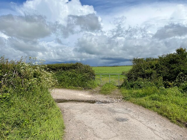
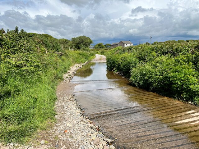
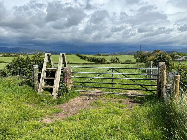
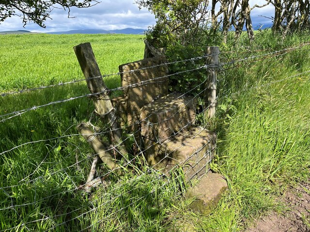
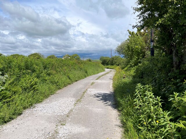
Addyhouse Wood Images

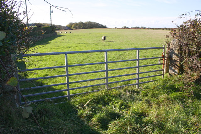
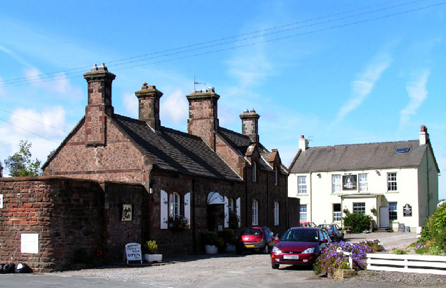
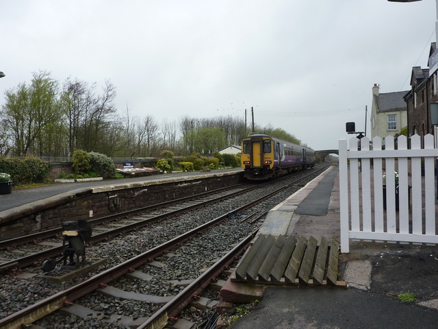
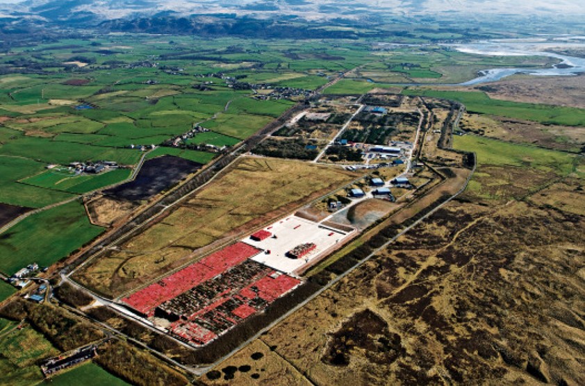
Images are sourced within 2km of 54.393091/-3.4358778 or Grid Reference NY0600. Thanks to Geograph Open Source API. All images are credited.

A595 in Holmrook village
No. 45231 "Sherwood Forester" at Drigg Station
Bridleway toward St. Peter, Drigg
Junction of B5344 and Station Road
A595 nearing Blackbeck Bridge
A595 near High House Farm
Minor road towards Santon
Gateway at Panope The gateway to the house at Panope. The track leading past the gateway is a public bridleway to Hallsenna.
There is an inverted Ordnance Survey cut benchmark on the right hand gatepost (detail photograph <a href="https://www.geograph.org.uk/photo/7376084">NY0501 : Benchmark, Panope</a>).
Gateway at Panope
The gateway to the house at Panope. The track leading past the gateway is a public bridleway to Hallsenna. There is an inverted Ordnance Survey cut benchmark on the right hand gatepost (detail photograph NY0501 : Benchmark, Panope).
Benchmark, Panope Detail of the inverted Ordnance Survey cut benchmark on a gatepost at Panope (location photograph <a href="https://www.geograph.org.uk/photo/7376070">NY0501 : Gateway at Panope</a>).  The benchmark is possibly that indicated on the 1898 revision of the Ordnance Survey map as marking a height of 69.8 feet above mean sea level (Ordnance Datum Newlyn).
Benchmark, Panope
Detail of the inverted Ordnance Survey cut benchmark on a gatepost at Panope (location photograph NY0501 : Gateway at Panope). The benchmark is possibly that indicated on the 1898 revision of the Ordnance Survey map as marking a height of 69.8 feet above mean sea level (Ordnance Datum Newlyn).
Panope Ford The ford on Whitriggs Beck at Panope.  The track is the public bridleway from Panope to Cross Lanes at Seascale, joined almost in the ford (through the gate on the right) by a bridleway from Silver How and Blea Wath.
The beck follows the track for a few metres before leaving it to the left under a small footbridge hidden by vegetation in front of the sign.  The sign reads ‘NO SATNAV ROUTE FOR HGVS’ although the location is far from a metalled road.
Panope Ford
The ford on Whitriggs Beck at Panope. The track is the public bridleway from Panope to Cross Lanes at Seascale, joined almost in the ford (through the gate on the right) by a bridleway from Silver How and Blea Wath. The beck follows the track for a few metres before leaving it to the left under a small footbridge hidden by vegetation in front of the sign. The sign reads ‘NO SATNAV ROUTE FOR HGVS’ although the location is far from a metalled road.
Minor road near Stony How This minor road leads from the B5344 between Drigg and Seascale to Panope, Broom and Hallsenna.
There is heavy rain over the Lake District fells around Wasdale.
Minor road near Stony How
This minor road leads from the B5344 between Drigg and Seascale to Panope, Broom and Hallsenna. There is heavy rain over the Lake District fells around Wasdale.
Ford near Stony How In spite of rain clouds in the background, dry weather has reduced this small ford near Stony How to no more than a trickle.
The metalled public highway from the B5344 ends at the ford, continuing only as an unsurfaced access track and public bridleway to Panope and Hallsenna.
Ford near Stony How
In spite of rain clouds in the background, dry weather has reduced this small ford near Stony How to no more than a trickle. The metalled public highway from the B5344 ends at the ford, continuing only as an unsurfaced access track and public bridleway to Panope and Hallsenna.
Burnt Moor Ford This long paved ford at Burnt Moor is unusual insofar as Whitriggs Beck does not cross the track but merely flows along it for 25m (30yds), joining and leaving it again on the northwest side.
The track is a public bridleway from near Stony How to Panope.
Burnt Moor Ford
This long paved ford at Burnt Moor is unusual insofar as Whitriggs Beck does not cross the track but merely flows along it for 25m (30yds), joining and leaving it again on the northwest side. The track is a public bridleway from near Stony How to Panope.
Stile and Gate near Crossleys The stile is provided for a public footpath leading to the public bridleway at Crossleys, just visible in the right background.
There is a storm over the Lake District fells.
Stile and Gate near Crossleys
The stile is provided for a public footpath leading to the public bridleway at Crossleys, just visible in the right background. There is a storm over the Lake District fells.
Blocked Stile Near The Warren, this stile on the public footpath from Crossleys to Moss Side and Tarn How has been illegally blocked by fencing and barbed wire.
Blocked Stile
Near The Warren, this stile on the public footpath from Crossleys to Moss Side and Tarn How has been illegally blocked by fencing and barbed wire.
Lane near Panope The lane is a public bridleway from Stony How to Panope.
Lane near Panope
The lane is a public bridleway from Stony How to Panope.
Benchmark on gatepost on SW side of B5344 at Moor House Ordnance Survey cut mark benchmark shown on 1899 1:2500 Map as 65.7 feet above Liverpool Datum
Benchmark on gatepost on SW side of B5344 at Moor House
Ordnance Survey cut mark benchmark shown on 1899 1:2500 Map as 65.7 feet above Liverpool Datum
Field gate from B5344 at Moor House There is an OS benchmark <a href="https://www.geograph.org.uk/photo/6103988">NY0500 : Benchmark on gatepost on SW side of B5344 at Moor House</a> on the inside face of the gatepost at the right hand side of the gateway
Field gate from B5344 at Moor House
There is an OS benchmark NY0500 : Benchmark on gatepost on SW side of B5344 at Moor House on the inside face of the gatepost at the right hand side of the gateway
Show me another place!

Addyhouse Wood is located at Grid Ref: NY0600 (Lat: 54.393091, Lng: -3.4358778)

Administrative County: Cumbria

District: Copeland

Police Authority: Cumbria

What 3 Words

///birds.tolerates.lemmings. Near Seascale, Cumbria

Related Wikis

Nearby Amenities

Located within 500m of 54.393091,-3.4358778
Power: pole
Lat/Long: 54.3966229/-3.4323022
Power: pole
Lat/Long: 54.3959694/-3.4319803
Power: pole
Lat/Long: 54.3959413/-3.430953
The data included in this document is from www.openstreetmap.org. The data is made available under ODbL.

Have you been to Addyhouse Wood?

Leave your review of Addyhouse Wood below (or comments, questions and feedback).