Blakeley Moss
Downs, Moorland in Cumberland Copeland
England
Blakeley Moss

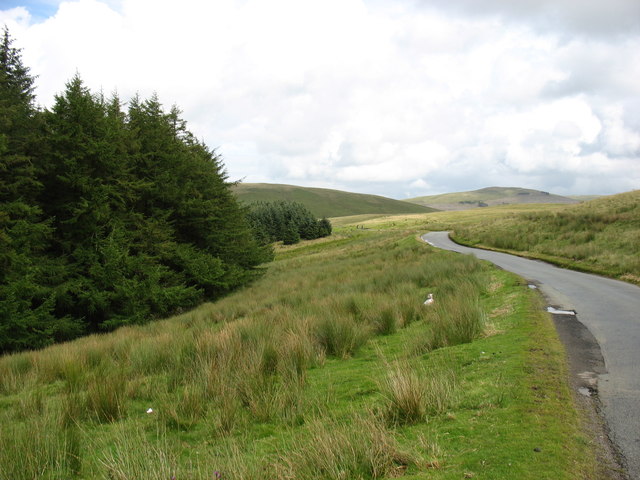
Blakeley Moss is a nature reserve located in Cumberland, England. Situated in the picturesque region of the Downs and Moorland, this area is renowned for its stunning landscapes and diverse wildlife.
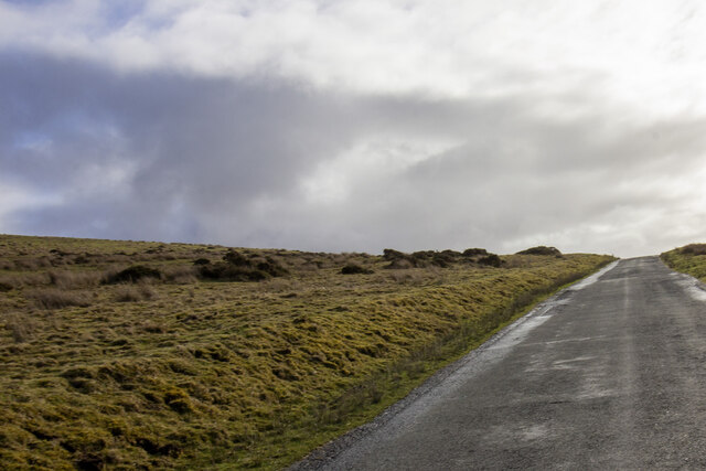
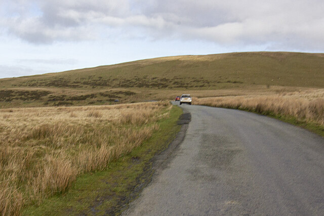
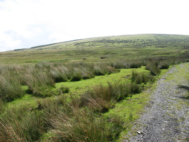
Covering an area of approximately 100 hectares, Blakeley Moss is a haven for nature enthusiasts and offers a range of habitats to explore. The reserve is characterized by its extensive peat bog, which is home to a variety of rare and unique plant species. These include sphagnum moss, cotton grass, and heather, which thrive in the damp and acidic conditions.
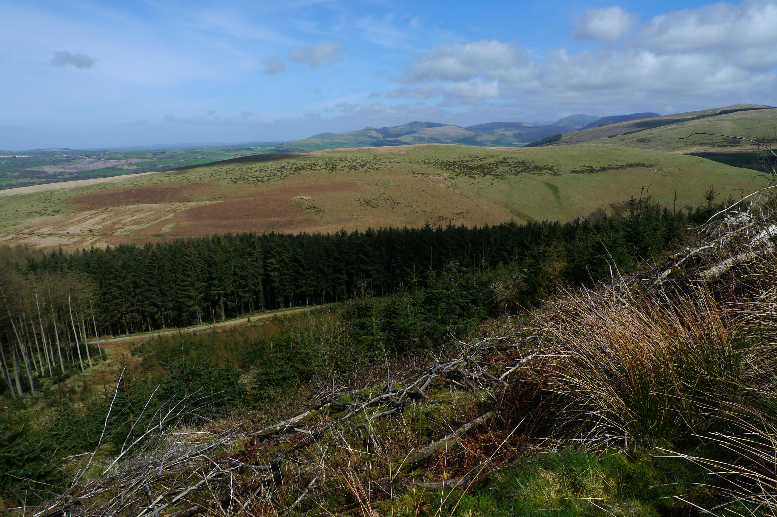
The reserve also boasts a number of woodland areas, which provide shelter and food for a wide range of bird species. Visitors may spot the elusive black grouse, as well as other notable birds such as curlews, lapwings, and golden plovers.
In addition to its flora and fauna, Blakeley Moss offers visitors stunning panoramic views of the surrounding countryside. The reserve is crisscrossed by a network of walking trails, allowing visitors to explore the area at their own pace. Along these trails, visitors may encounter various wildlife, including rabbits, squirrels, and even the occasional deer.
Blakeley Moss is managed by a dedicated team of conservationists who work tirelessly to protect and preserve this unique and fragile ecosystem. They also offer educational programs and guided tours to promote awareness and understanding of the reserve's importance for both wildlife and the local community.
Overall, Blakeley Moss is a must-visit destination for anyone seeking a tranquil and immersive nature experience in the heart of the Cumberland Downs and Moorland region.
If you have any feedback on the listing, please let us know in the comments section below.
Blakeley Moss Images
Images are sourced within 2km of 54.512077/-3.4490856 or Grid Reference NY0613. Thanks to Geograph Open Source API. All images are credited.


Blakeley Moss is located at Grid Ref: NY0613 (Lat: 54.512077, Lng: -3.4490856)
Administrative County: Cumbria
District: Copeland
Police Authority: Cumbria
What 3 Words
///adapt.fires.exacts. Near Cleator Moor, Cumbria
Nearby Locations
Related Wikis
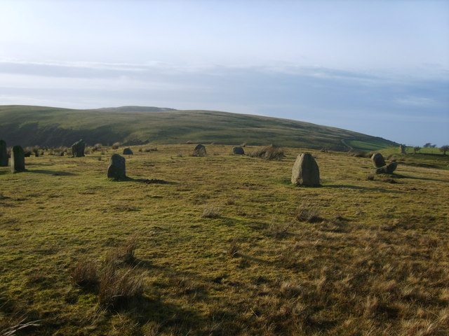
Kinniside Stone Circle
Kinniside Stone Circle (or Blakeley Raise Stone Circle) is a reconstructed stone circle in the civil parish of Ennerdale and Kinniside in Cumbria, England...

Blakeley Raise
Blakeley Raise is a fell in the English Lake District, standing at 389m. Unlike its neighbours Grike, Crag Fell and Lank Rigg it is not listed as a Wainwright...
Flat Fell
Flat Fell is a hill located on the edge of the English Lake District, standing at 272m. It is included in Alfred Wainwright's Outlying Fells of Lakeland...
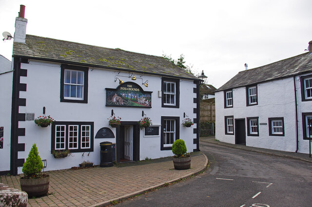
Ennerdale Bridge
Ennerdale Bridge is a hamlet in the county of Cumbria, England. It is in the civil parish of Ennerdale and Kinniside. It had a total population taken at...
Nearby Amenities
Located within 500m of 54.512077,-3.4490856Have you been to Blakeley Moss?
Leave your review of Blakeley Moss below (or comments, questions and feedback).