Blakeley Raise
Hill, Mountain in Cumberland Copeland
England
Blakeley Raise

Blakeley Raise is a prominent hill located in the county of Cumberland, England. Rising approximately 455 meters above sea level, it is part of the Lake District National Park, a UNESCO World Heritage site known for its stunning natural beauty and diverse landscapes.
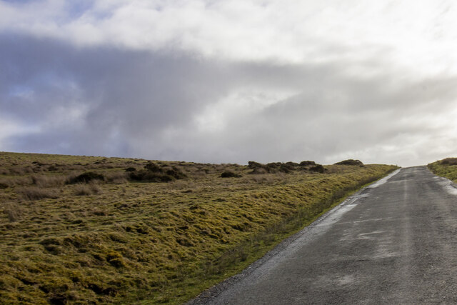
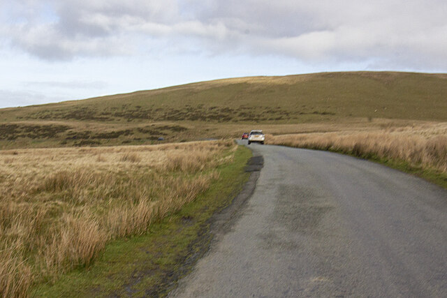
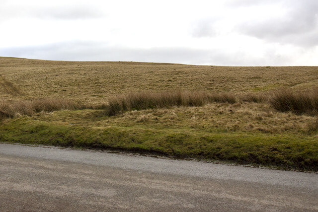
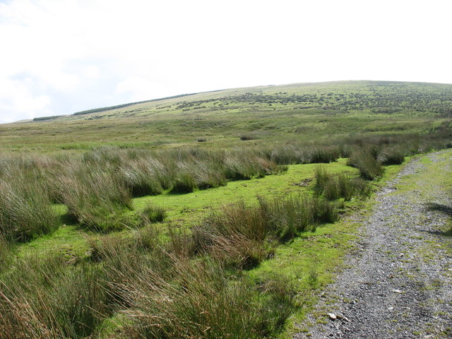
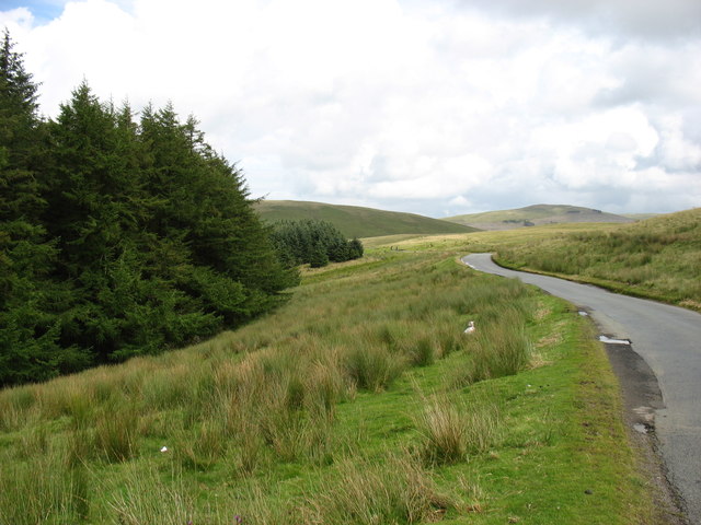
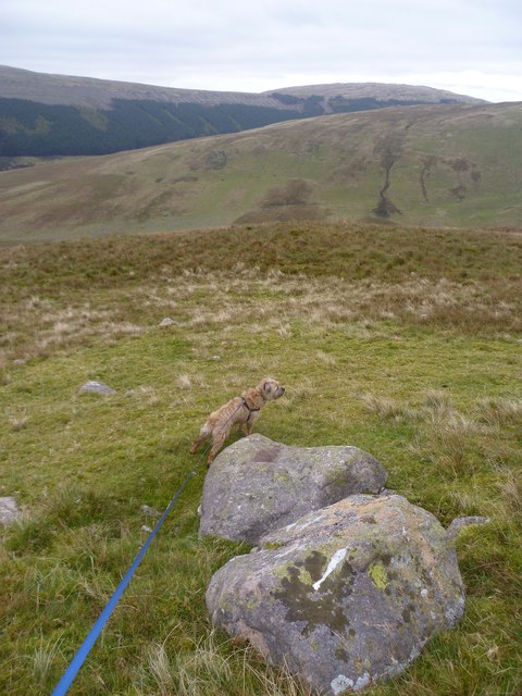
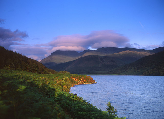
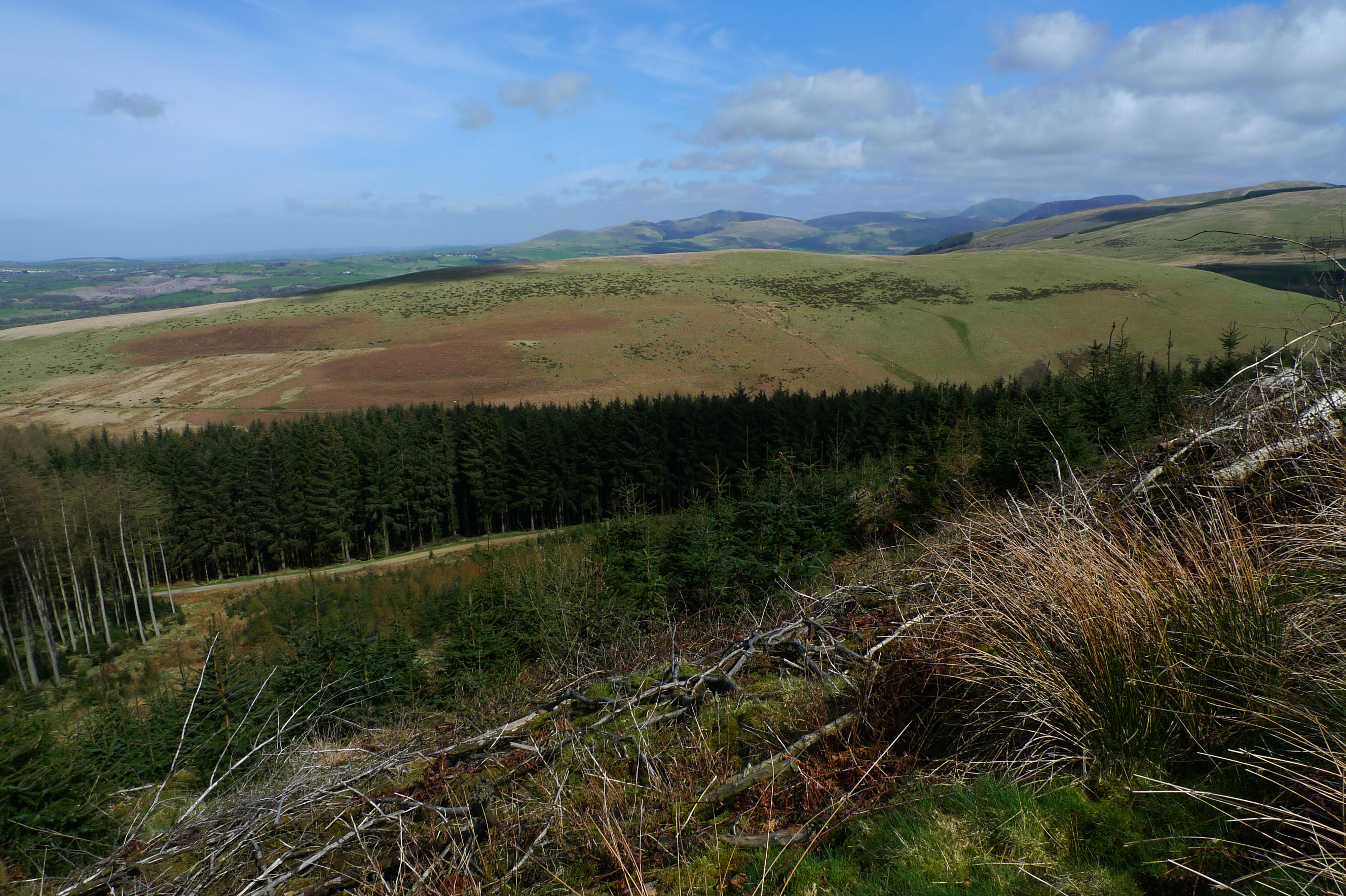
Situated in the western part of the county, Blakeley Raise offers breathtaking panoramic views of the surrounding countryside. With its distinctive conical shape and steep slopes, the hill provides a challenging but rewarding ascent for hikers and outdoor enthusiasts. The rocky terrain is adorned with heather and grasses, adding to its picturesque appeal.
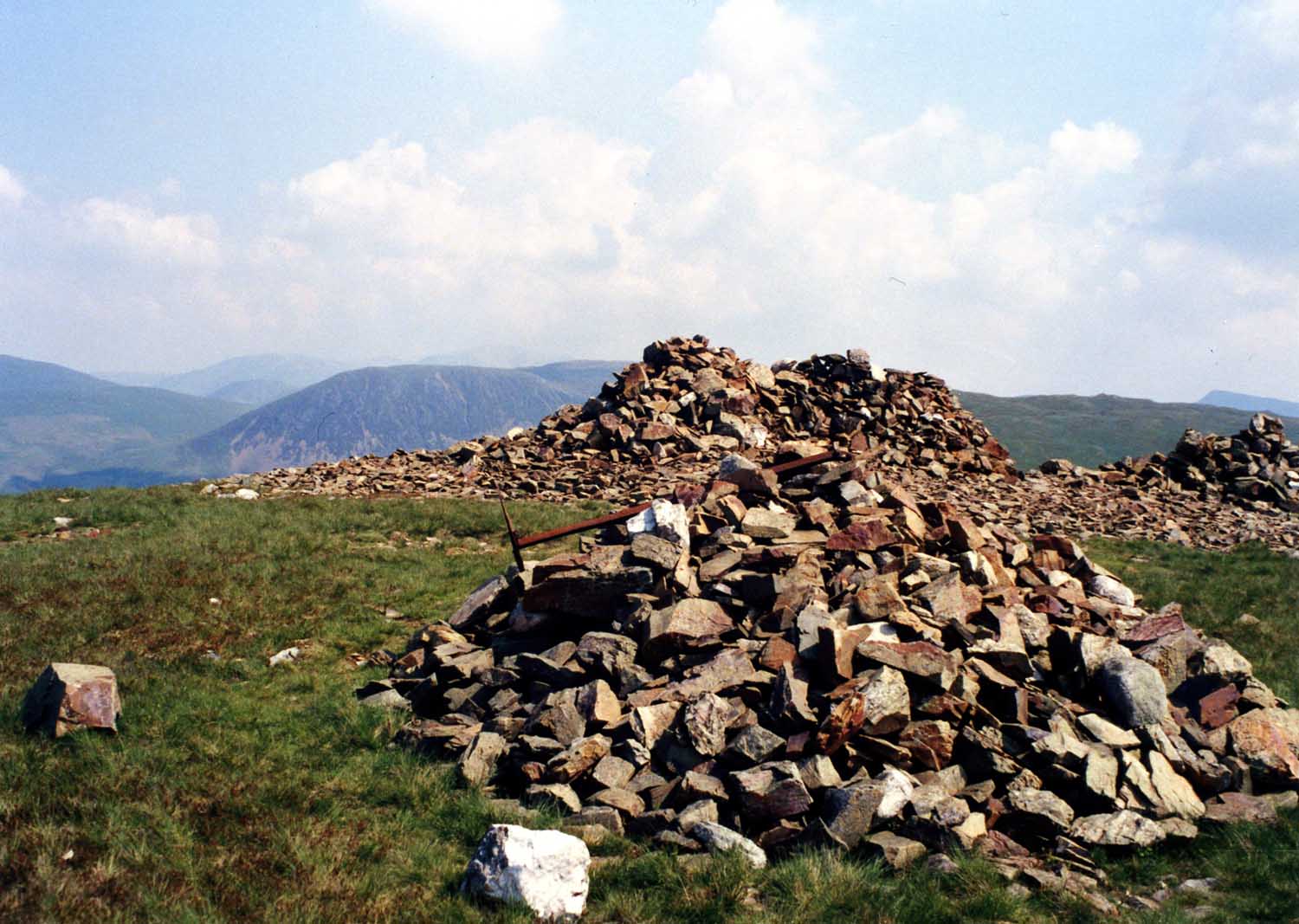
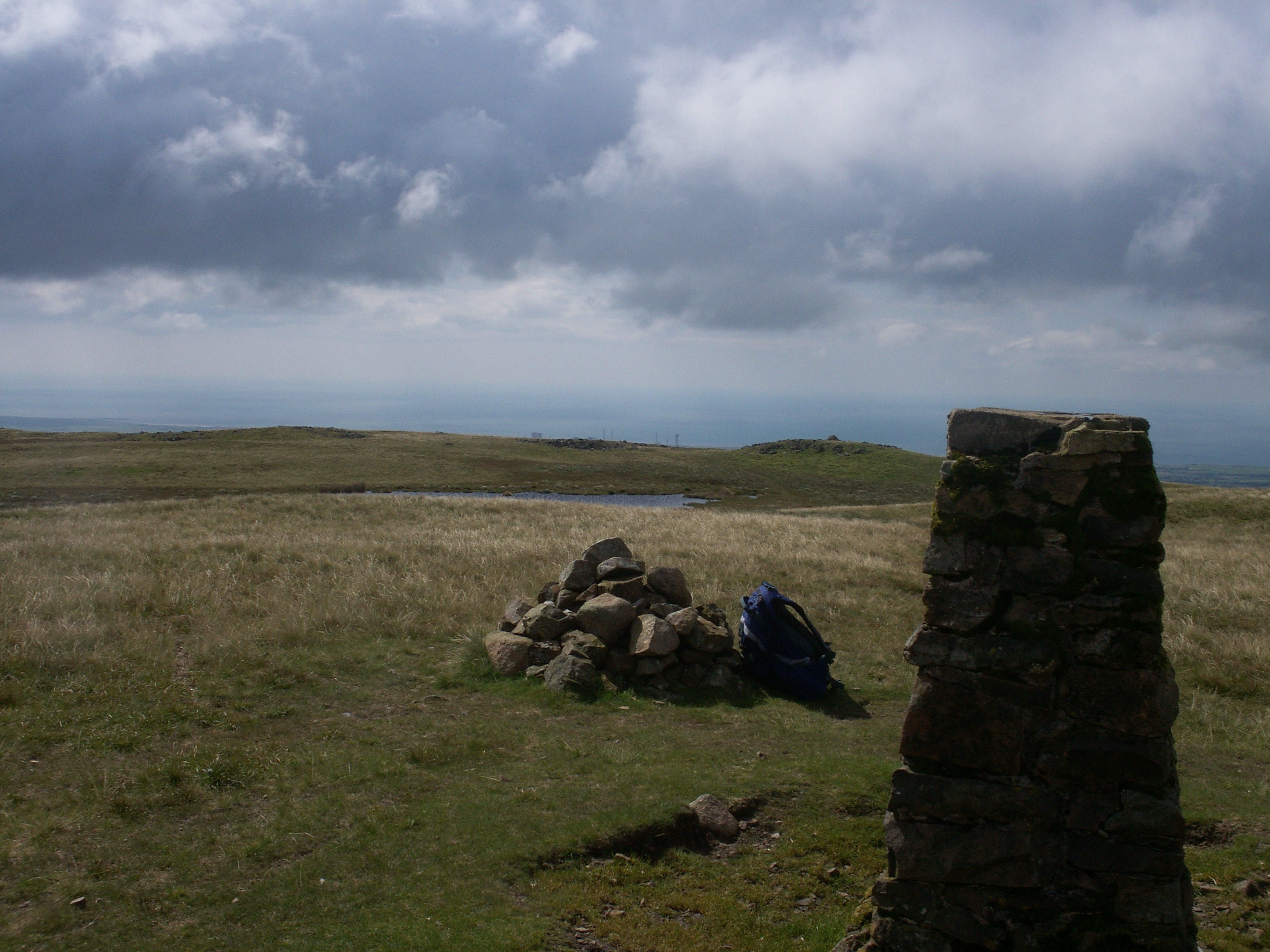
The summit of Blakeley Raise provides a vantage point from which visitors can admire the nearby fells, valleys, and lakes that make up the extraordinary Lake District scenery. On a clear day, it is possible to see iconic landmarks such as Skiddaw, Blencathra, and the serene waters of Bassenthwaite Lake.
The hill is a popular destination for walkers, who can access it via various footpaths and trails. It offers an opportunity to experience the tranquility and isolation of the Lake District, away from the tourist crowds. However, due to its steep incline and uneven terrain, proper hiking gear and a good level of fitness are recommended.
Blakeley Raise is not only a natural attraction but also holds historical significance. It is believed to have been a site of ancient settlements and is dotted with remnants of stone walls, adding an element of mystery and intrigue to the area.
Overall, Blakeley Raise is a captivating destination that showcases the beauty of the Lake District, providing visitors with a memorable experience of nature, history, and breathtaking vistas.
If you have any feedback on the listing, please let us know in the comments section below.
Blakeley Raise Images
Images are sourced within 2km of 54.508354/-3.4379411 or Grid Reference NY0613. Thanks to Geograph Open Source API. All images are credited.


Blakeley Raise is located at Grid Ref: NY0613 (Lat: 54.508354, Lng: -3.4379411)
Administrative County: Cumbria
District: Copeland
Police Authority: Cumbria
What 3 Words
///clocking.gestures.retire. Near Cleator Moor, Cumbria
Nearby Locations
Related Wikis
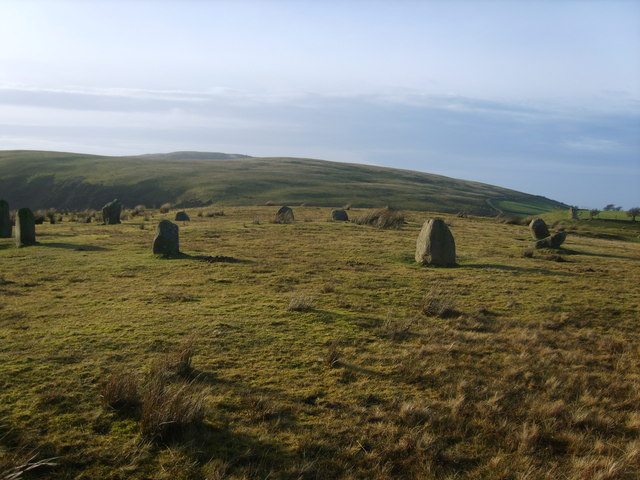
Kinniside Stone Circle
Kinniside Stone Circle (or Blakeley Raise Stone Circle) is a reconstructed stone circle in the civil parish of Ennerdale and Kinniside in Cumbria, England...
Grike (Lake District)
Grike is a hill in the west of the English Lake District, near Ennerdale Water. It is part of the Lank Rigg group, the most westerly Wainwright as the...
Ennerdale and Kinniside
Ennerdale and Kinniside is a civil parish in Copeland, Cumbria, England. At the 2011 census it had a population of 220.The parish has an area of 8,763...

Blakeley Raise
Blakeley Raise is a fell in the English Lake District, standing at 389m. Unlike its neighbours Grike, Crag Fell and Lank Rigg it is not listed as a Wainwright...
Flat Fell
Flat Fell is a hill located on the edge of the English Lake District, standing at 272m. It is included in Alfred Wainwright's Outlying Fells of Lakeland...
Ennerdale Bridge
Ennerdale Bridge is a hamlet in the county of Cumbria, England. It is in the civil parish of Ennerdale and Kinniside. It had a total population taken at...

Ennerdale Rural District
Ennerdale was a rural district in the county of Cumberland in England from 1934 to 1974. It was created in 1934 by a County Review Order, by the merger...
Lank Rigg
Lank Rigg is a fell in the English Lake District. It stands to the south of Ennerdale in the Western Fells. A sprawling hill with gentle grassy slopes...
Nearby Amenities
Located within 500m of 54.508354,-3.4379411Have you been to Blakeley Raise?
Leave your review of Blakeley Raise below (or comments, questions and feedback).