Bagshot
Settlement in Berkshire
England
Bagshot

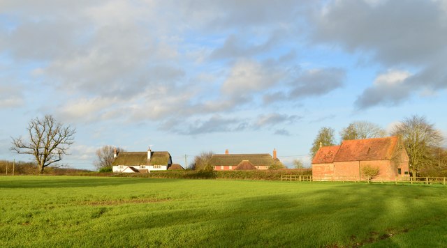
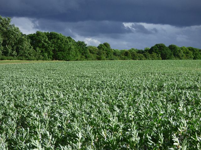
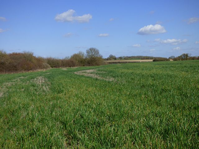
Bagshot is a small village located in the county of Berkshire, England. Situated approximately 30 miles west of London, it falls within the borough of Bracknell Forest. The village is nestled in the stunning Surrey Heath district and is surrounded by picturesque countryside, including Bagshot Heath, a large area of heathland that provides a natural habitat for various wildlife.
Bagshot has a rich history dating back to the Roman times when it served as a settlement along the ancient road that connected London to the southwest of England. Today, the village retains some of its historical charm with a few traditional buildings and a parish church that dates back to the 13th century.
Despite its relatively small size, Bagshot offers a range of amenities to its residents and visitors. There are several local shops, including a supermarket, as well as a variety of restaurants, cafes, and pubs. The village also has a primary school, making it an attractive location for families.
The nearby Swinley Forest and Windsor Great Park provide opportunities for outdoor activities such as walking, cycling, and horse riding. For those seeking retail therapy, Bagshot is conveniently located near the popular shopping destinations of Camberley and Guildford.
Transport links in Bagshot are excellent, with the village being situated close to the M3 motorway and having its own railway station, providing easy access to London and other major cities.
Overall, Bagshot offers a delightful blend of history, natural beauty, and modern amenities, making it an appealing place to live or visit.
If you have any feedback on the listing, please let us know in the comments section below.
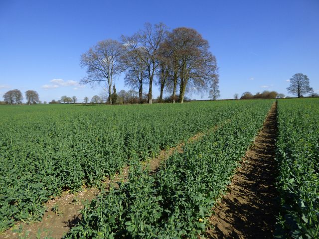
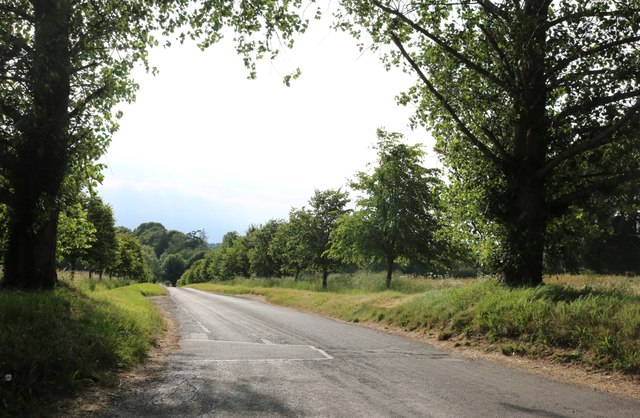
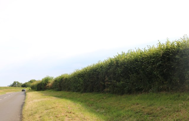
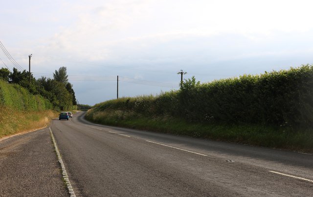
Bagshot Images
Images are sourced within 2km of 51.385908/-1.547437 or Grid Reference SU3165. Thanks to Geograph Open Source API. All images are credited.


Bagshot is located at Grid Ref: SU3165 (Lat: 51.385908, Lng: -1.547437)
Unitary Authority: Wiltshire
Police Authority: Wiltshire
What 3 Words
///stint.passions.mimic. Near Shalbourne, Wiltshire
Nearby Locations
Related Wikis

Shalbourne
Shalbourne is a village and civil parish in the English county of Wiltshire, about 3 miles (4.8 km) southwest of Hungerford, Berkshire. The parish has...
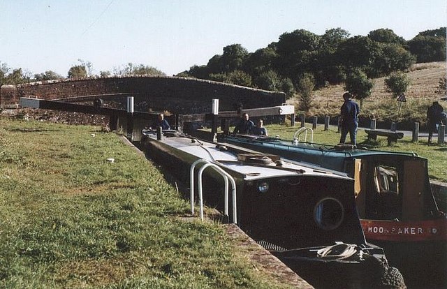
Oakhill Down Lock
Oakhill Down Lock is a lock on the Kennet and Avon Canal, at Froxfield, Wiltshire, England, between Newbury Bridge and Pewsey Wharf.The lock was built...

Little Bedwyn
Little Bedwyn (also spelt Little Bedwin, and sometimes called Bedwyn Parva) is a village and civil parish on the River Dun in Wiltshire, England, about...

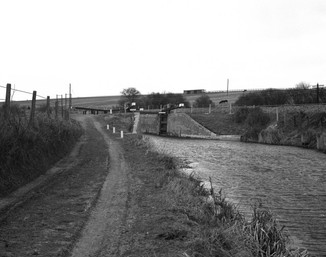
Froxfield Middle Lock
Froxfield Middle Lock is a lock on the Kennet and Avon Canal, at Froxfield, Wiltshire, England. The lock has a rise/fall of 6 ft 11 in (2.11 m). ��2�...
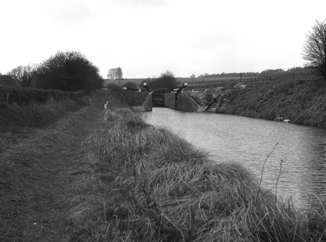
Froxfield Bottom Lock
Froxfield Bottom Lock is a lock on the Kennet and Avon Canal, at Froxfield, Wiltshire, England. The lock has a rise/fall of 7 ft 0 in (2.13 m). == References... ==

Little Bedwyn Lock
Little Bedwyn Lock is a lock on the Kennet and Avon Canal, at Little Bedwyn, Wiltshire, England. The canal is administered by the Canal & River Trust....

Anvilles
Anvilles is a hamlet in the English county of Berkshire, and within the civil parish of Inkpen (formerly in Kintbury). == See also == Civil parishes in...
Picketfield Lock
Picketfield Lock is a lock on the Kennet and Avon Canal, near Hungerford, Berkshire, England. The lock has a rise/fall of 7 ft 0 in (2.13 m). == References... ==
Nearby Amenities
Located within 500m of 51.385908,-1.547437Have you been to Bagshot?
Leave your review of Bagshot below (or comments, questions and feedback).