Bagshaw

Settlement in Derbyshire High Peak

England

Bagshaw

Track above Malcoff
Track above Malcoff Credit: Colin Park

Bagshaw is a small village located in the county of Derbyshire, England. Situated within the Peak District National Park, Bagshaw offers stunning natural beauty and a peaceful countryside setting. It is part of the Hope Valley district and is approximately 5 miles west of the town of Bakewell.

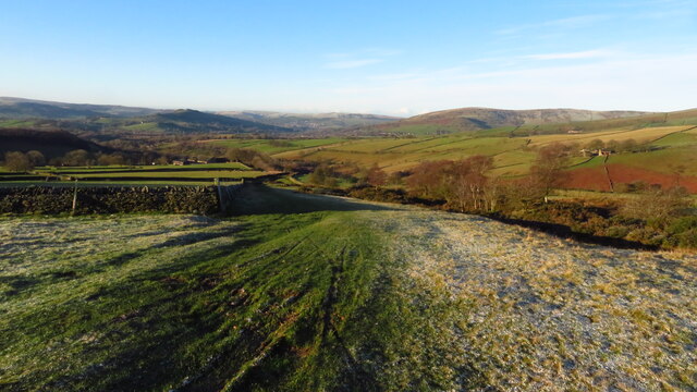
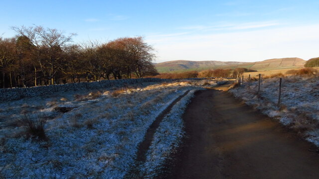
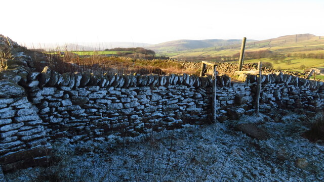
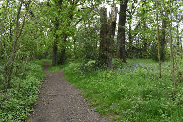
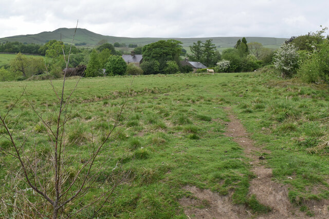
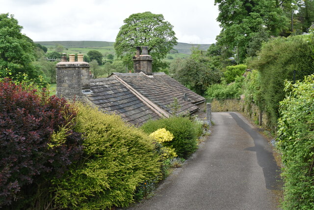
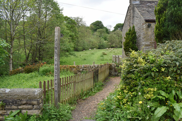
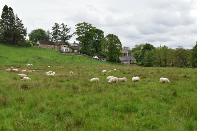
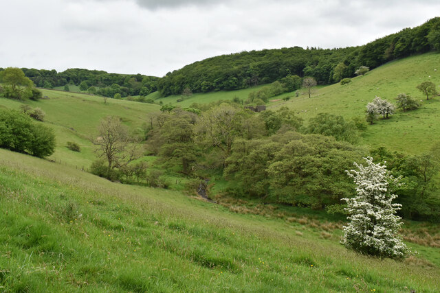
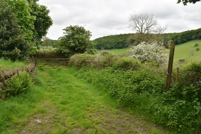
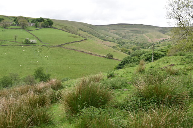
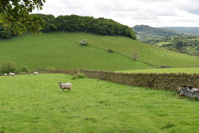
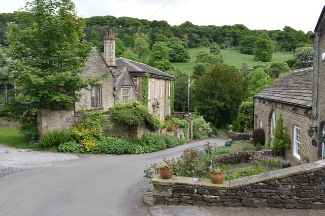
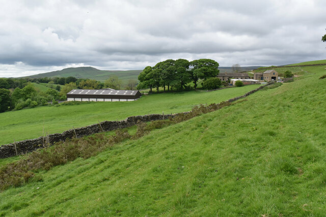
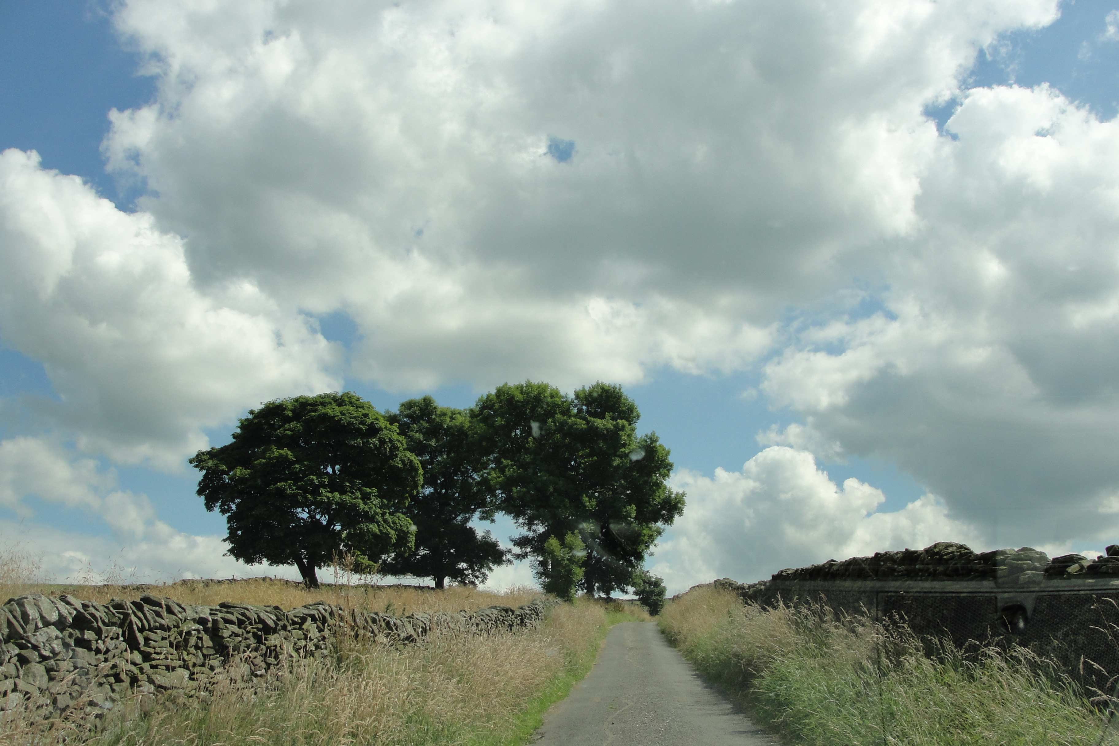
The village is known for its picturesque landscapes, with rolling hills, meandering rivers, and charming stone cottages dotting the area. The surrounding countryside provides ample opportunities for outdoor activities such as hiking, cycling, and birdwatching. Bagshaw is particularly popular with nature enthusiasts and those seeking a quiet retreat.

The village itself has a close-knit community, with a small number of residents. It boasts a historic church, St. Anne's, which dates back to the 12th century. The church adds to the village's charm and serves as a focal point for local events and gatherings.

Despite its small size, Bagshaw benefits from its proximity to nearby towns and villages. Bakewell, with its shops, restaurants, and amenities, is easily accessible, providing residents with convenient access to services. Additionally, Bagshaw enjoys good transport links, with regular bus services connecting the village to surrounding areas.

In conclusion, Bagshaw offers a tranquil and idyllic setting for those looking to escape the hustle and bustle of city life. Its natural beauty, close community, and convenient location make it a desirable place to live or visit within the stunning Peak District National Park.

If you have any feedback on the listing, please let us know in the comments section below.
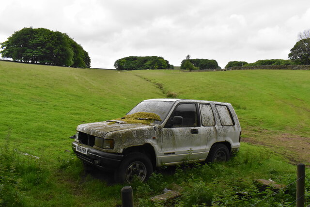
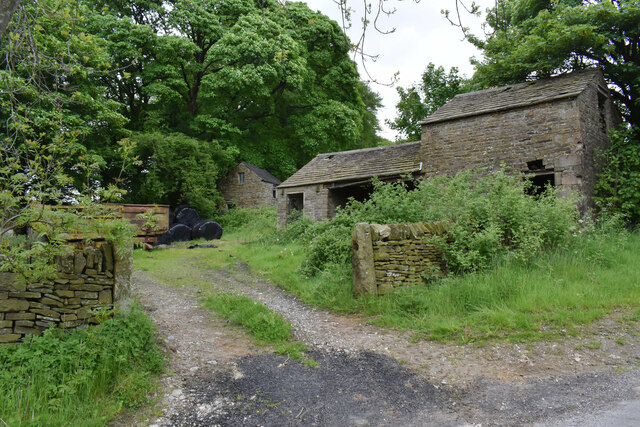
Bagshaw Images

Images are sourced within 2km of 53.326481/-1.884358 or Grid Reference SK0781. Thanks to Geograph Open Source API. All images are credited.

Track above Malcoff
Track above Malcoff
Pennine Bridleway at Tom Moor Plantation
Stile with sprinkling of snow on Breck Edge
The Olive Tree Cafe and Farm Shop
Hillside near Sparrowpit
Woodland path off Bowden Lane The surface of the path is nice and dry but I am sure it isn't always. The path leads to Wash.
Woodland path off Bowden Lane
The surface of the path is nice and dry but I am sure it isn't always. The path leads to Wash.
Footpath to Wash Passing through a field of sheep. Some of the houses of the small village of Wash are seen ahead. South Head is seen on the skyline.
Footpath to Wash
Passing through a field of sheep. Some of the houses of the small village of Wash are seen ahead. South Head is seen on the skyline.
Small road in Wash Wash is a very small village with traditional cottages.
Small road in Wash
Wash is a very small village with traditional cottages.
Footpath leaving Wash The path goes up the valley of Hockham Brook.
Footpath leaving Wash
The path goes up the valley of Hockham Brook.
Sheep near Wash The sheep are grazing in the valley of Hockham Brook. Some of the houses of Wash are behind.
Sheep near Wash
The sheep are grazing in the valley of Hockham Brook. Some of the houses of Wash are behind.
The valley of Hockham Brook Looking up the valley from the land below Malcoff.
The valley of Hockham Brook
Looking up the valley from the land below Malcoff.
Farm track and footpath near Malcoff The path crosses the valley of Hockham Brook to Bowden Head.
Farm track and footpath near Malcoff
The path crosses the valley of Hockham Brook to Bowden Head.
Roych Clough Looking up the clough from Malcoff. Brown Knoll is in the background, one of the heights at the head of Edale.
Roych Clough
Looking up the clough from Malcoff. Brown Knoll is in the background, one of the heights at the head of Edale.
Sheep near Malcoff Looking into the valley of Hockham Brook. Eccles Pike shows up round the corner.
Sheep near Malcoff
Looking into the valley of Hockham Brook. Eccles Pike shows up round the corner.
Going nowhere An abandoned vehicle that has been there some time.
Going nowhere
An abandoned vehicle that has been there some time.
Ford Hall The Grade II listed hall is now divided into apartments. A couple of other listed cottages combine to make this an attractive little hamlet.
Ford Hall
The Grade II listed hall is now divided into apartments. A couple of other listed cottages combine to make this an attractive little hamlet.
Old farm buildings at Slackhall The hamlet of Slackhall is not much more than a farm.
Old farm buildings at Slackhall
The hamlet of Slackhall is not much more than a farm.
Maglow Farm On the western slope of the Pennines with a view down to Chapel-en-le-Frith. South Head is the prominent peak behind.
Maglow Farm
On the western slope of the Pennines with a view down to Chapel-en-le-Frith. South Head is the prominent peak behind.
Show me another place!

Bagshaw is located at Grid Ref: SK0781 (Lat: 53.326481, Lng: -1.884358)

Administrative County: Derbyshire

District: High Peak

Police Authority: Derbyshire

What 3 Words

///stitching.agreeing.elevate. Near Chapel en le Frith, Derbyshire

Nearby Locations

Slackhall Bagshaw Mag Low

Related Wikis

Nearby Amenities

Located within 500m of 53.326481,-1.884358
Bagshaw
Place: hamlet
Wikidata: Q4842128
Lat/Long: 53.326645/-1.8849403
Barrier: stile
Material: stone
Source: survey;gps
Stile: stepover
Lat/Long: 53.32551/-1.8794734
Barrier: stile
Material: sw
Source: survey;gps
Stile: stepover
Lat/Long: 53.3261882/-1.8811177
Barrier: stile
Material: wood
Source: survey;gps
Stile: stepover
Lat/Long: 53.3265823/-1.8828797
Barrier: stile
Material: stone
Source: survey;gps
Stile: stepover
Lat/Long: 53.326616/-1.8829879
Barrier: stile
Material: stone
Source: survey;gps
Stile: stepover
Lat/Long: 53.3281865/-1.8807889
Barrier: stile
Material: stone
Source: survey;gps
Stile: stepover
Lat/Long: 53.3283281/-1.8785771
Barrier: stile
Material: stone
Source: survey;gps
Stile: stepover
Lat/Long: 53.3240201/-1.8849785
Barrier: stile
Material: stone
Source: survey;gps
Stile: stepover
Lat/Long: 53.3295403/-1.8811497
Fixme: stile, gate or entramce?
Lat/Long: 53.3275787/-1.8854716
The data included in this document is from www.openstreetmap.org. The data is made available under ODbL.

Have you been to Bagshaw?

Leave your review of Bagshaw below (or comments, questions and feedback).