Whinney Brae

Downs, Moorland in Lanarkshire

Scotland

Whinney Brae

The River Clyde and Culter Fell The River Clyde near Cormiston Towers with the imposing bulk of Culter Fell brooding the background as captured from Quothquan Law.

This photograph was taken during the Coronavirus (COVID-19) pandemic of 2020/21.
The River Clyde and Culter Fell Credit: James T M Towill

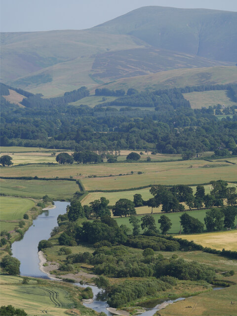
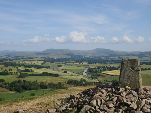
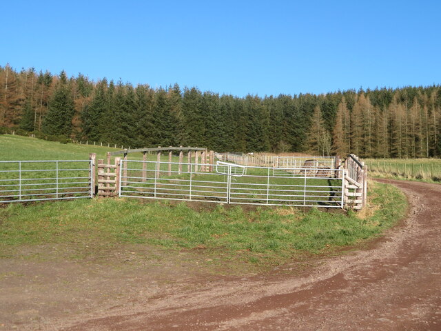
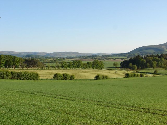
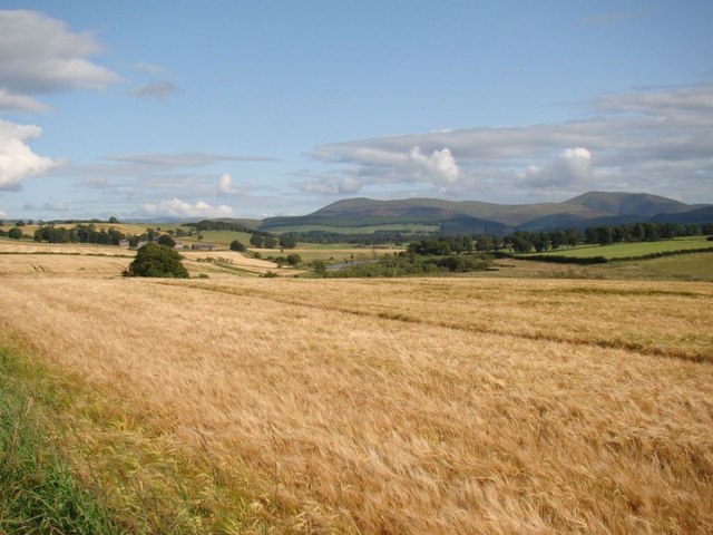
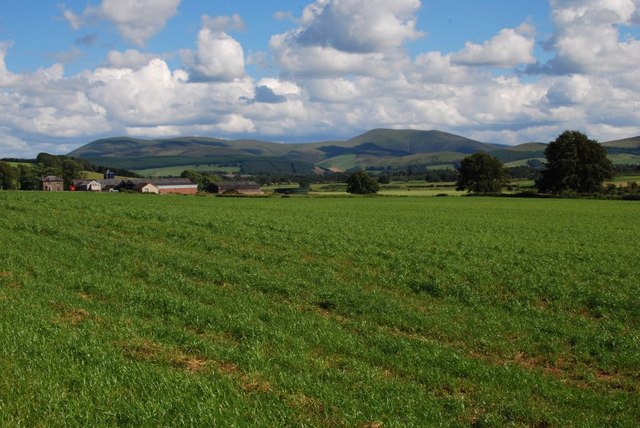
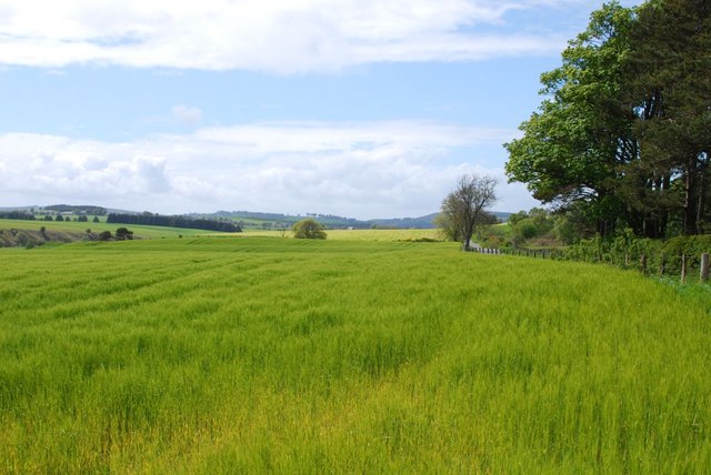
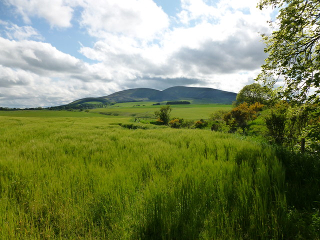
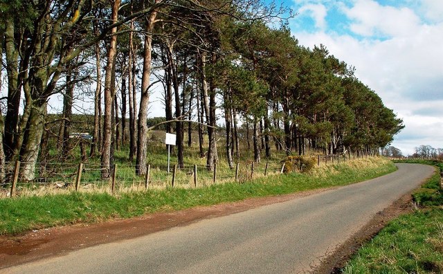
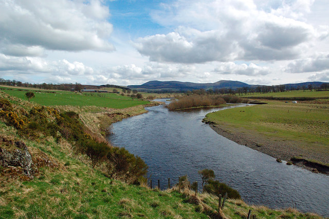
Whinney Brae is a picturesque area located in Lanarkshire, Scotland. Situated amongst the rolling hills and stunning landscapes, it is known for its downs and moorland scenery.

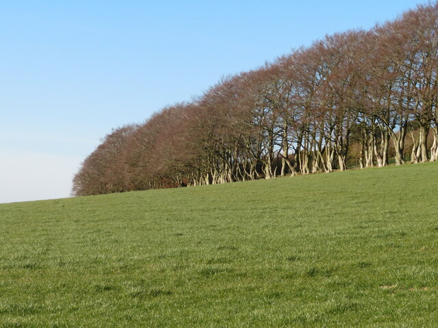
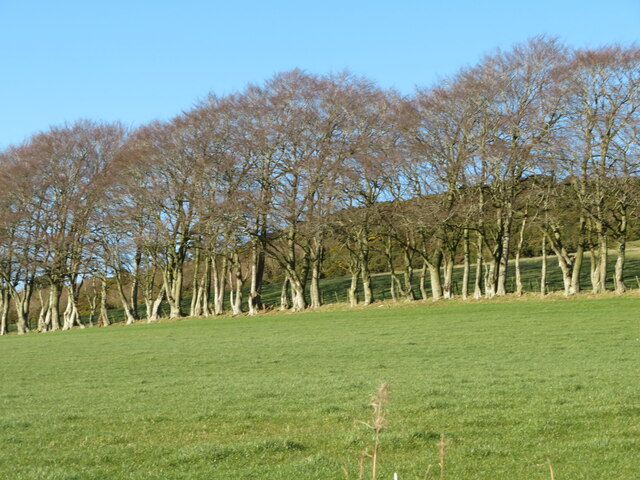
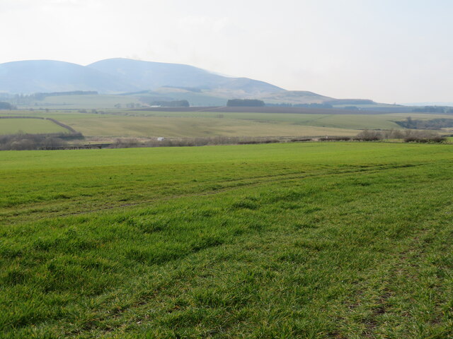
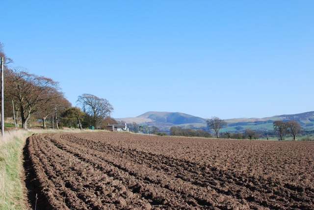
The downs of Whinney Brae offer panoramic views of the surrounding countryside, with vast expanses of open grasslands and gentle slopes. The area is dotted with ancient trees and gorse bushes, providing a natural habitat for various species of wildlife. Visitors can enjoy long walks or horseback rides, taking in the fresh air and peaceful atmosphere.

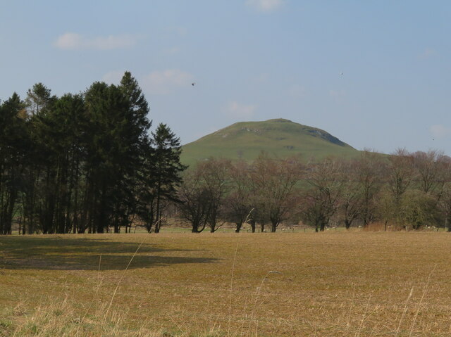
The moorland in Whinney Brae is characterized by its rugged terrain and heather-covered hills. The landscape is dominated by vast stretches of purple and green, providing a stunning backdrop for nature enthusiasts and photographers alike. Moorland birds, such as red grouse and skylarks, can often be spotted soaring through the skies.

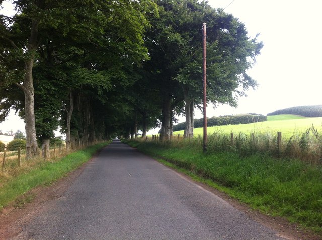
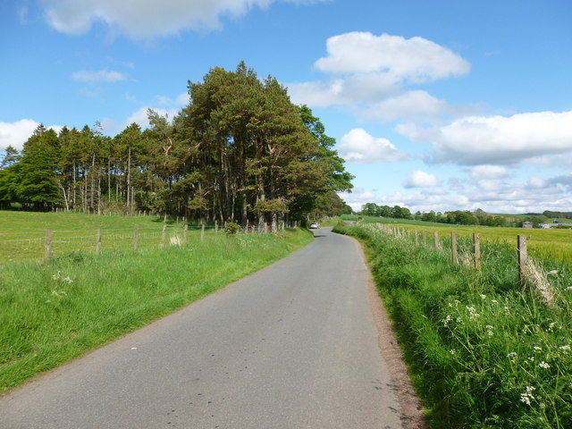
Whinney Brae is also home to several hiking trails, allowing visitors to explore the area's natural beauty up close. These trails lead to hidden waterfalls, tranquil lochs, and ancient ruins, showcasing the rich history and natural diversity of the region.

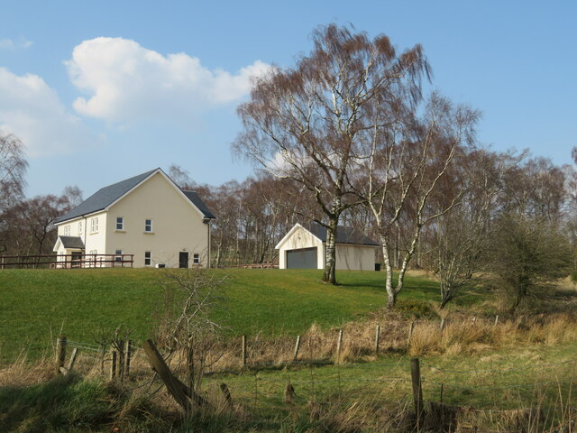
The nearby village of Whinney Brae offers amenities for visitors, including quaint cafes, local shops, and charming bed and breakfasts. It serves as a gateway to the wider Lanarkshire region, which boasts attractions such as the Falls of Clyde and the historic town of Lanark.

Overall, Whinney Brae in Lanarkshire is a must-visit destination for nature lovers and those seeking a peaceful escape amidst breathtaking landscapes.

If you have any feedback on the listing, please let us know in the comments section below.

Whinney Brae Images

Images are sourced within 2km of 55.623832/-3.5699754 or Grid Reference NT0137. Thanks to Geograph Open Source API. All images are credited.

The River Clyde and Culter Fell The River Clyde near Cormiston Towers with the imposing bulk of Culter Fell brooding the background as captured from Quothquan Law.

This photograph was taken during the Coronavirus (COVID-19) pandemic of 2020/21.
The River Clyde and Culter Fell
The River Clyde near Cormiston Towers with the imposing bulk of Culter Fell brooding the background as captured from Quothquan Law. This photograph was taken during the Coronavirus (COVID-19) pandemic of 2020/21.
Atop Quothquan Law A lovely little hill in South Lanarkshire overlooking the rich arable land of the Clyde valley.  In this view, the River Clyde and distant Culter Fell are prominent landmarks.  The summit of Quothquan Law is only 335 metres, but offers a commanding viewpoint.  The furthest which could be seen due to warm hazy afternoon conditions was Five Sisters bing near West Calder.

This photograph was taken during the Coronavirus (COVID-19) pandemic of 2020/21.
Atop Quothquan Law
A lovely little hill in South Lanarkshire overlooking the rich arable land of the Clyde valley. In this view, the River Clyde and distant Culter Fell are prominent landmarks. The summit of Quothquan Law is only 335 metres, but offers a commanding viewpoint. The furthest which could be seen due to warm hazy afternoon conditions was Five Sisters bing near West Calder. This photograph was taken during the Coronavirus (COVID-19) pandemic of 2020/21.
Shelterbelt on the western slope of Biggar Common A well established belt of Beech trees separating good pasture from rougher grassland beyond.
Shelterbelt on the western slope of Biggar Common
A well established belt of Beech trees separating good pasture from rougher grassland beyond.
Beech shelterbelt On the western flank of Biggar Common.
Beech shelterbelt
On the western flank of Biggar Common.
Stock pen and track to Biggar Common Farmland and forestry near Quothquan.
Stock pen and track to Biggar Common
Farmland and forestry near Quothquan.
Crawhill Cottage A relatively new house on Cormiston Road.
Crawhill Cottage
A relatively new house on Cormiston Road.
Field at Cormiston Towers Farm Looking down to the River Clyde, and beyond to Tinto.
Field at Cormiston Towers Farm
Looking down to the River Clyde, and beyond to Tinto.
Quothquan Law  As seen from Cormiston Road, with sheep pasture beyond the shelter belt.
Quothquan Law
As seen from Cormiston Road, with sheep pasture beyond the shelter belt.
View of the landscape close to the river Clyde near Cormiston The view looking to the south, in the direction of Roberton. Some more wind turbines are in store for the hills in the centre distance fairly soon.
View of the landscape close to the river Clyde near Cormiston
The view looking to the south, in the direction of Roberton. Some more wind turbines are in store for the hills in the centre distance fairly soon.
Pleasant countryside view in summer By the River Clyde on the country road close to Cormiston with plenty of golden barley fields.
Pleasant countryside view in summer
By the River Clyde on the country road close to Cormiston with plenty of golden barley fields.
Tree-lined road
Tree-lined road
Ploughed field close to Cormiston Mains Sunny dry weather after a wet winter.
Ploughed field close to Cormiston Mains
Sunny dry weather after a wet winter.
Farmland at Cormiston At Cormiston Towers Farm with Culter Fell in the background.
Farmland at Cormiston
At Cormiston Towers Farm with Culter Fell in the background.
Barley field in springtime Looking across a field of barley from Cormiston towards the Thankerton area.
Barley field in springtime
Looking across a field of barley from Cormiston towards the Thankerton area.
Barley field by the Cleave Burn Looking towards Tinto on the other side of the River Clyde.
Barley field by the Cleave Burn
Looking towards Tinto on the other side of the River Clyde.
Road to Cormiston Road from Thankerton to Wolfclyde, near Biggar.
Road to Cormiston
Road from Thankerton to Wolfclyde, near Biggar.
Between Biggar and Thankerton The notice in the pine wood advises that fishing permits for the River Clyde can be obtained from the Lamington & District Angling Improvement Association.
Between Biggar and Thankerton
The notice in the pine wood advises that fishing permits for the River Clyde can be obtained from the Lamington & District Angling Improvement Association.
The River Clyde Looking upstream from high ground near Cleave Burn.
The River Clyde
Looking upstream from high ground near Cleave Burn.
Show me another place!

Whinney Brae is located at Grid Ref: NT0137 (Lat: 55.623832, Lng: -3.5699754)

Unitary Authority: South Lanarkshire

Police Authority: Lanarkshire

What 3 Words

///degree.sadly.offerings. Near Biggar, South Lanarkshire

Nearby Locations

Whinney Brae

Related Wikis

Coulter railway station

Coulter railway station served the village of Coulter, South Lanarkshire, Scotland from 1860 to 1965 on the Symington, Biggar and Broughton Railway....

Quothquan

Quothquan (also formerly spelled Couth-Boan, meaning "the beautiful hill"; Scottish Gaelic: A’ Choitcheann, pronounced [ə ˈxɔʰtʲçən̪ˠ], meaning "the common...

A72 road

The A72 road is a major route in Scotland connecting Hamilton in South Lanarkshire, with Galashiels in the Scottish Borders. It travels for over 97 kilometres...

Shieldhill Castle

Shieldhill Castle is a category B listed building located near Biggar in South Lanarkshire. The building dates back to 1199 and is currently being run...

Biggar Castle

Biggar Castle was a 12th-century castle in Biggar, South Lanarkshire, Scotland. It appears to have been abandoned by the 14th century. == History == The...

Symington railway station

Symington railway station served the village of Symington in Scotland between 1848 and 1965. It was on the main line of the Caledonian Railway and for...

Biggar (Scotland) railway station

Biggar railway station served the town of Biggar, South Lanarkshire, Scotland from 1860 to 1950 on the Symington, Biggar and Broughton Railway. == History... ==

Boghall Castle

Boghall Castle was a 14th century castle to the south of Biggar, South Lanarkshire, Scotland. Boghall became ruinous in the 19th century. == History... ==

Nearby Amenities

Located within 500m of 55.623832,-3.5699754
Cormiston Farm
Place: locality
Lat/Long: 55.6197439/-3.5732953
Power: pole
Lat/Long: 55.6222353/-3.5739945
Power: pole
Lat/Long: 55.6214279/-3.5741934
Power: pole
Lat/Long: 55.6208223/-3.5743224
The data included in this document is from www.openstreetmap.org. The data is made available under ODbL.

Have you been to Whinney Brae?

Leave your review of Whinney Brae below (or comments, questions and feedback).