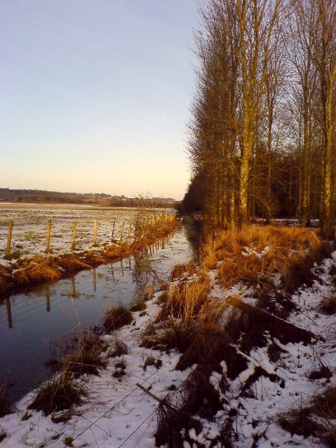
Methven Moss

Downs, Moorland in Perthshire

Scotland

Methven Moss

Furrowed field near Merriness Looking north over a field of furrows to the east of Merriness.
Furrowed field near Merriness Credit: Scott Cormie

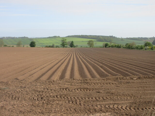
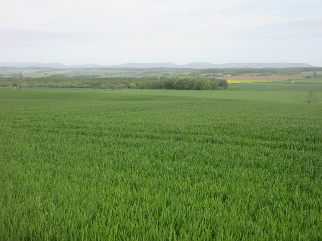
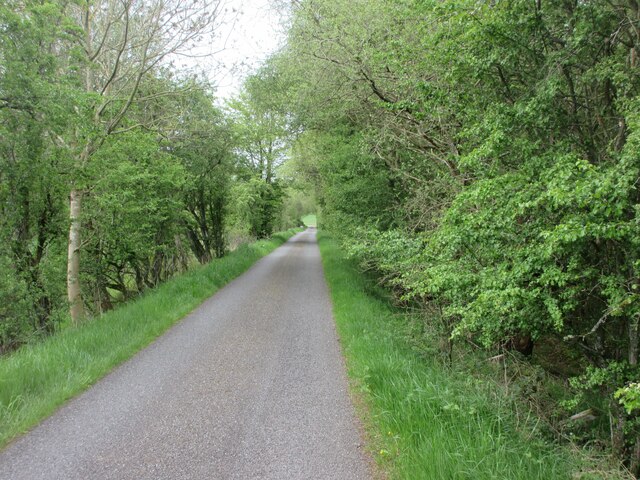
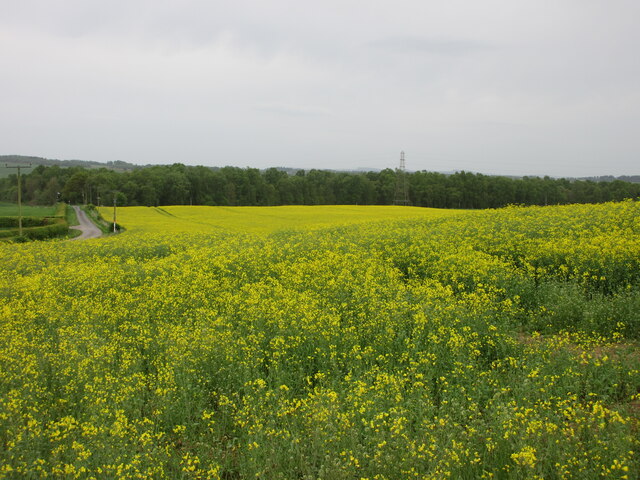
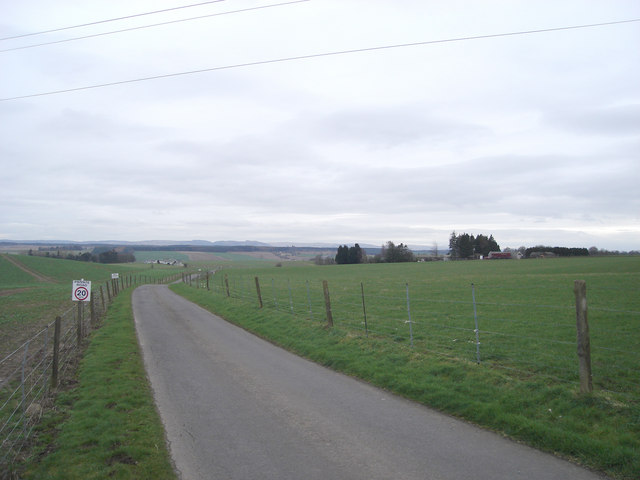
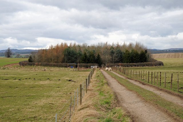
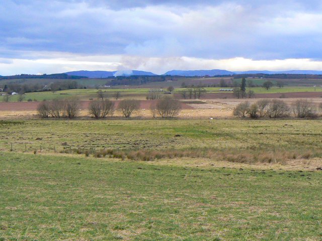
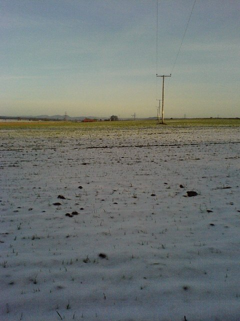
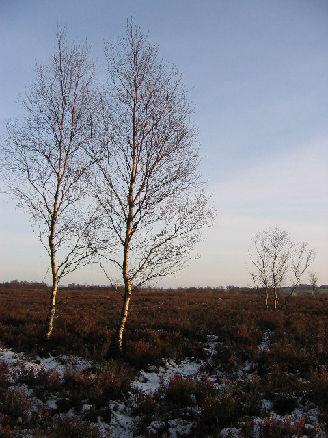
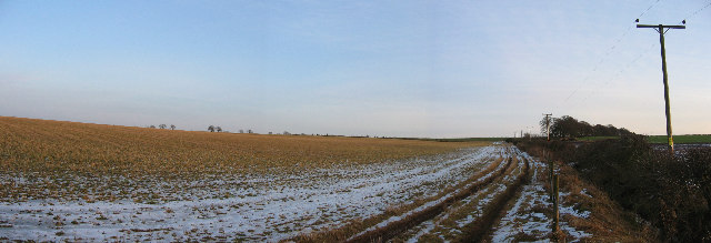
Methven Moss is a vast expanse of downs and moorland located in Perthshire, Scotland. Covering an area of approximately 2 square kilometers, it is a prominent feature of the region's landscape. The moss is characterized by its flat and low-lying terrain, making it an ideal habitat for a diverse range of plant and animal species.

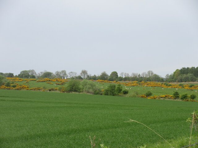
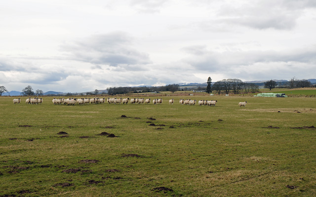
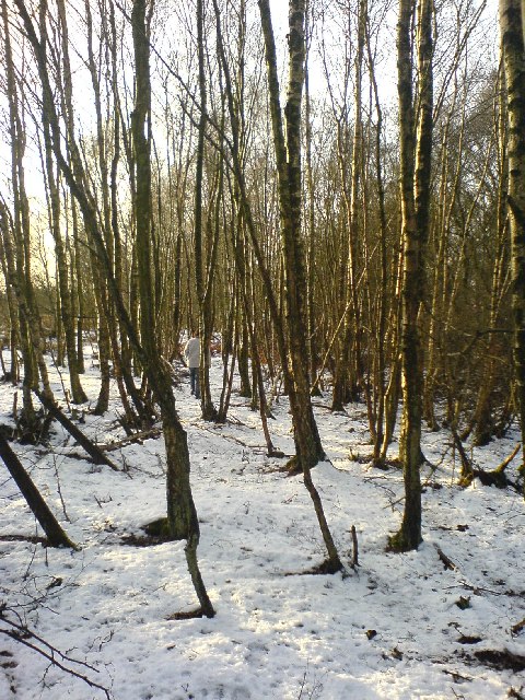
The vegetation on Methven Moss primarily consists of grasses, heather, and mosses, which create a vibrant and colorful tapestry during the summer months. The area is also dotted with small ponds and marshes, providing a habitat for various aquatic plants and wildlife.

Birdwatchers flock to Methven Moss, as it serves as a haven for numerous bird species. Visitors may spot the iconic red grouse, meadow pipit, and skylark among others. The moss is also home to a variety of insects, including dragonflies and butterflies, adding to its biodiversity.

Historically, Methven Moss has played a significant role in the local economy. The area was used for peat cutting, with the peat being utilized as a fuel source. However, this practice has declined in recent years due to environmental concerns.

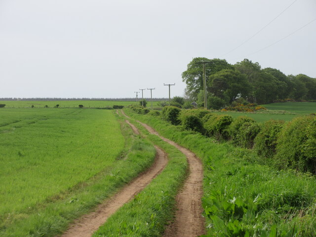
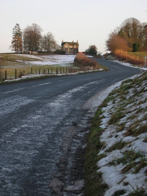
Methven Moss is a popular destination for nature enthusiasts and walkers, who can explore the area via numerous footpaths and trails. The moss offers stunning panoramic views of the surrounding Perthshire countryside, making it a picturesque location for outdoor activities and photography.

Overall, Methven Moss is a remarkable natural area in Perthshire, offering a unique blend of downs, moorland, and wildlife, making it a must-visit destination for those seeking to immerse themselves in Scotland's natural beauty.

If you have any feedback on the listing, please let us know in the comments section below.

Methven Moss Images

Images are sourced within 2km of 56.394885/-3.5989962 or Grid Reference NO0123. Thanks to Geograph Open Source API. All images are credited.

Furrowed field near Merriness Looking north over a field of furrows to the east of Merriness.
Furrowed field near Merriness
Looking north over a field of furrows to the east of Merriness.
Field west of Merriness Looking north-west down a field west of Merriness in the direction of Methven Moss.
Field west of Merriness
Looking north-west down a field west of Merriness in the direction of Methven Moss.
Track near Greenhill Track heading uphill from the road to the south-east of Greenhill.
Track near Greenhill
Track heading uphill from the road to the south-east of Greenhill.
Gorse-dotted field Looking south-west to a distant view of a gorse and sheep dotted field near Greenhill.
Gorse-dotted field
Looking south-west to a distant view of a gorse and sheep dotted field near Greenhill.
Road through Methven Moss Narrow minor road heading south through the woodland at Methven Moss.
Road through Methven Moss
Narrow minor road heading south through the woodland at Methven Moss.
Oil-seed rape near Moss-side Oil-seed rape not quite in full bloom, in a field west of Moss-side.
Oil-seed rape near Moss-side
Oil-seed rape not quite in full bloom, in a field west of Moss-side.
Power lines crossing the road to Bachilton
Fence and trees Around Hilton House.
Fence and trees
Around Hilton House.
Farm Track and Wood
Farm Track and Wood
Farmland and Sheep
Farmland and Sheep
Not a volcano Fields near Balgowan with smoke rising in the distance. The source of the smoke can be seen here <a href="https://www.geograph.org.uk/photo/1187676">NN8042 : Setting the heather on fire</a>.
Not a volcano
Fields near Balgowan with smoke rising in the distance. The source of the smoke can be seen here NN8042 : Setting the heather on fire.
Looking across farmland to Merriness Looking east, Merriness farm sits beside the back road from Perth to Crieff
Looking across farmland to Merriness
Looking east, Merriness farm sits beside the back road from Perth to Crieff
Methven Moss Heather moorland with sparse silver birch trees, looking south from the dismantled railway.
Methven Moss
Heather moorland with sparse silver birch trees, looking south from the dismantled railway.
Fields near Tibbermore Sloping fields south of the minor road between Tibbermore and Balgowan, due south of Methven
Fields near Tibbermore
Sloping fields south of the minor road between Tibbermore and Balgowan, due south of Methven
Well dismantled railway line! Not so easy to access from the east, this line once ran through Methven across Methven Moss. Spot the geographer ahead!
Well dismantled railway line!
Not so easy to access from the east, this line once ran through Methven across Methven Moss. Spot the geographer ahead!
Powerlines by Methven Don't need a GPS if you're on a disused railway and there are power lines right overhead!
Powerlines by Methven
Don't need a GPS if you're on a disused railway and there are power lines right overhead!
Pow Water I think the camera hogger (my wife) might have already nabbed this square. Just goes to show that a Canon A80 is better than a Sony Ericsson phone at taking pictures!!
Pow Water
I think the camera hogger (my wife) might have already nabbed this square. Just goes to show that a Canon A80 is better than a Sony Ericsson phone at taking pictures!!
Looking East to Newmiln Ignore the nice house on the hill, that's in square <a href="https://www.geograph.org.uk/gridref/NO0122">NO0122</a> (just)! This back road from Perth to Crieff is a blast on the bike (motorbike) though you see a lot more when you walk along it (cute horse to follow!).
Looking East to Newmiln
Ignore the nice house on the hill, that's in square NO0122 (just)! This back road from Perth to Crieff is a blast on the bike (motorbike) though you see a lot more when you walk along it (cute horse to follow!).
Show me another place!

Methven Moss is located at Grid Ref: NO0123 (Lat: 56.394885, Lng: -3.5989962)

Unitary Authority: Perth and Kinross

Police Authority: Tayside

What 3 Words

///trades.sidelined.cornering. Near Methven, Perth & Kinross

Nearby Locations

Methven Moss

Related Wikis

Strathearn distillery

Strathearn is a single malt Scotch whisky distillery near Methven in Scotland. == History == The distillery commenced production in 2013 under the ownership...

Methven Junction railway station

Methven Junction railway station opened in 1866, following the extension of the already existing Perth, Almond Valley and Methven Railway line which terminated...

Methven railway station

Methven railway station served the village of Methven, Perth and Kinross, Scotland and was located between the city of Perth to the east and the town of...

RAF Findo Gask

RAF Findo Gask was a Royal Air Force satellite station located 7 mi (11 km) west of Perth, Scotland used during the Second World War. == History == RAF...

Nearby Amenities

Located within 500m of 56.394885,-3.5989962
Methven Moss
Place: locality
Lat/Long: 56.3949402/-3.6009836
The data included in this document is from www.openstreetmap.org. The data is made available under ODbL.

Have you been to Methven Moss?

Leave your review of Methven Moss below (or comments, questions and feedback).