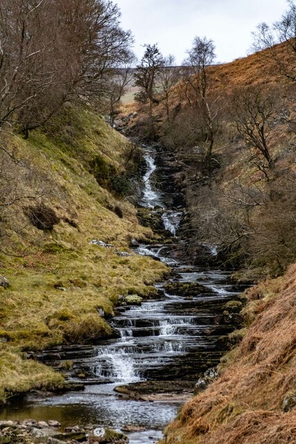
Allt y Gribin

Downs, Moorland in Montgomeryshire

Wales

Allt y Gribin

Lake Vyrnwy View across Lake Vyrnwy from a bird hide.
Lake Vyrnwy Credit: Peter McDermott

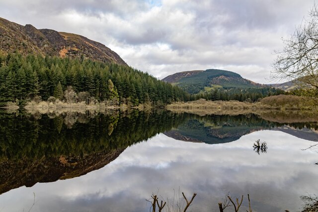
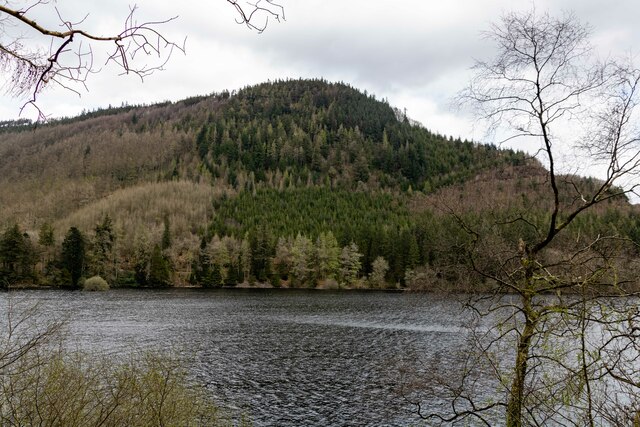
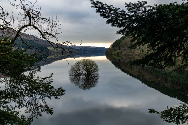
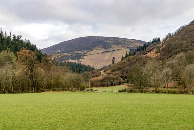
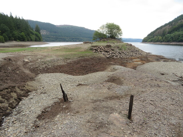
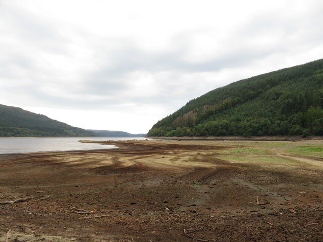
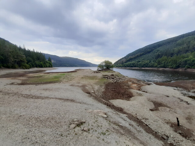
Allt y Gribin is a picturesque area located in Montgomeryshire, Wales. It is characterized by its beautiful downs and moorland landscapes, attracting visitors from near and far. The area is known for its natural beauty, offering stunning panoramic views of the surrounding countryside.

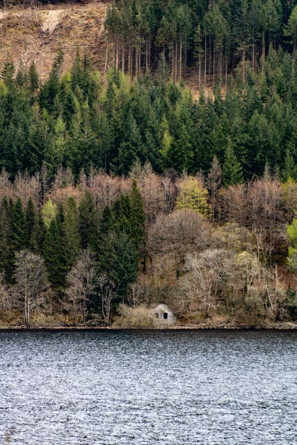
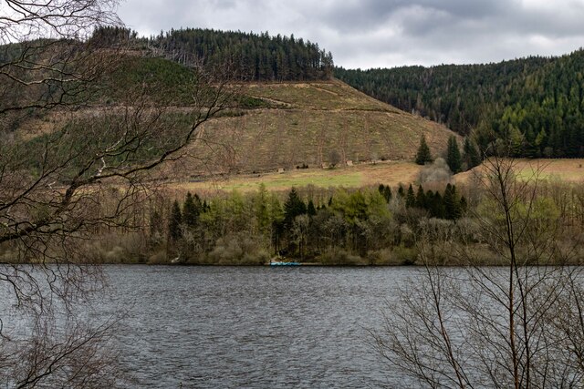
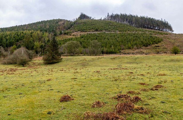
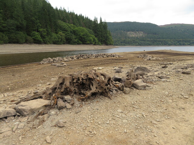
The downs of Allt y Gribin are covered in lush green grass and are gently sloping, creating a serene and peaceful atmosphere. These grassy slopes are perfect for leisurely walks or picnics while enjoying the stunning vistas. The moorland of the area is a mix of open heathland and scattered woodland, providing a diverse habitat for various species of flora and fauna.

Wildlife enthusiasts will find Allt y Gribin to be a haven, as it is home to a wide range of bird species, including red kites, buzzards, and skylarks. The moorland also supports a variety of wildflowers and plants, adding color and beauty to the landscape.

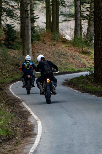
The area is a popular destination for outdoor activities such as hiking, nature walks, and birdwatching. There are well-maintained trails and footpaths that allow visitors to explore the downs and moorland at their own pace.

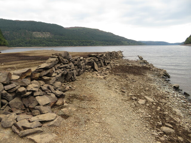
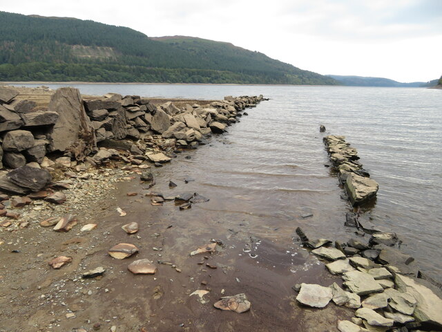
Allt y Gribin also has historical significance, with remnants of old settlements and ancient monuments scattered throughout the area. These historical sites provide a glimpse into the area's rich past and offer a unique cultural experience for visitors.

Overall, Allt y Gribin is a must-visit destination for nature lovers and those seeking a tranquil escape in the heart of Montgomeryshire.

If you have any feedback on the listing, please let us know in the comments section below.

Allt y Gribin Images

Images are sourced within 2km of 52.801867/-3.53997 or Grid Reference SH9623. Thanks to Geograph Open Source API. All images are credited.

Lake Vyrnwy View across Lake Vyrnwy from a bird hide.
Lake Vyrnwy
View across Lake Vyrnwy from a bird hide.
Lake Vyrnwy View across Lake Vyrnwy to small building in the opposite shore.
Lake Vyrnwy
View across Lake Vyrnwy to small building in the opposite shore.
Coed yr Allt Looking across Lake Vyrnwy to Coed yr Allt.
Coed yr Allt
Looking across Lake Vyrnwy to Coed yr Allt.
Lake Vyrnwy View looking across Lake Vyrnwy to clear fell forestry.
Lake Vyrnwy
View looking across Lake Vyrnwy to clear fell forestry.
Lake Vyrnwy
Lake Vyrnwy
Ceunant Moel-y-nant
Ceunant Moel-y-nant
Afon Nadroedd Looking up the valley of the Afon Nadroedd with Yr Eithin in the background.
Afon Nadroedd
Looking up the valley of the Afon Nadroedd with Yr Eithin in the background.
Eunant Waterfalls on the Eunant.
Eunant
Waterfalls on the Eunant.
Depleted Lake Vyrnwy near Pont Eunant The level of the reservoir is low, exposing land that is usually covered with water.
Depleted Lake Vyrnwy near Pont Eunant
The level of the reservoir is low, exposing land that is usually covered with water.
Mouth of the Eunant Fawr at Pont Eunant The level of the reservoir is low, exposing land that is usually covered with water.
Mouth of the Eunant Fawr at Pont Eunant
The level of the reservoir is low, exposing land that is usually covered with water.
Mouth of the Eunant Fawr at Pont Eunant The level of the reservoir is low, exposing land that is usually covered with water.
Mouth of the Eunant Fawr at Pont Eunant
The level of the reservoir is low, exposing land that is usually covered with water.
Depleted Lake Vyrnwy near Pont Eunant The level of the reservoir is low, exposing land that is usually covered with water. The tree shown here can usually be seen growing on an island in the lake, for example: <a href="https://www.geograph.org.uk/photo/7150248">SH9622 : Lake Vyrnwy</a>
Depleted Lake Vyrnwy near Pont Eunant
The level of the reservoir is low, exposing land that is usually covered with water. The tree shown here can usually be seen growing on an island in the lake, for example: SH9622 : Lake Vyrnwy
Depleted Lake Vyrnwy near Pont Eunant The level of the reservoir is low, exposing land that is usually covered with water.
Depleted Lake Vyrnwy near Pont Eunant
The level of the reservoir is low, exposing land that is usually covered with water.
Depleted Lake Vyrnwy near Pont Eunant The level of the reservoir is low, exposing land that is usually covered with water.
Depleted Lake Vyrnwy near Pont Eunant
The level of the reservoir is low, exposing land that is usually covered with water.
Remains of walls usually beneath Lake Vrynwy The level of the reservoir is low, exposing land that is usually covered with water.
Remains of walls usually beneath Lake Vrynwy
The level of the reservoir is low, exposing land that is usually covered with water.
Depleted Lake Vyrnwy near Pont Eunant The level of the reservoir is low, exposing land that is usually covered with water.
Depleted Lake Vyrnwy near Pont Eunant
The level of the reservoir is low, exposing land that is usually covered with water.
Depleted Lake Vyrnwy near Pont Eunant The level of the reservoir is low, exposing land that is usually covered with water. The tree shown here can usually be seen growing on an island in the lake, for example: <a href="https://www.geograph.org.uk/photo/7150248">SH9622 : Lake Vyrnwy</a>
Depleted Lake Vyrnwy near Pont Eunant
The level of the reservoir is low, exposing land that is usually covered with water. The tree shown here can usually be seen growing on an island in the lake, for example: SH9622 : Lake Vyrnwy
Show me another place!

Allt y Gribin is located at Grid Ref: SH9623 (Lat: 52.801867, Lng: -3.53997)

Unitary Authority: Powys

Police Authority: Dyfed Powys

What 3 Words

///yummy.wool.dabbling. Near Llangynog, Powys

Nearby Locations

Allt y Gribin

Related Wikis

Rhiwargor

Rhiwargor is a hamlet in Powys, Wales. It is located north of Lake Vyrnwy. The hamlet is made up of a few houses with no amenities. It does however, lie...
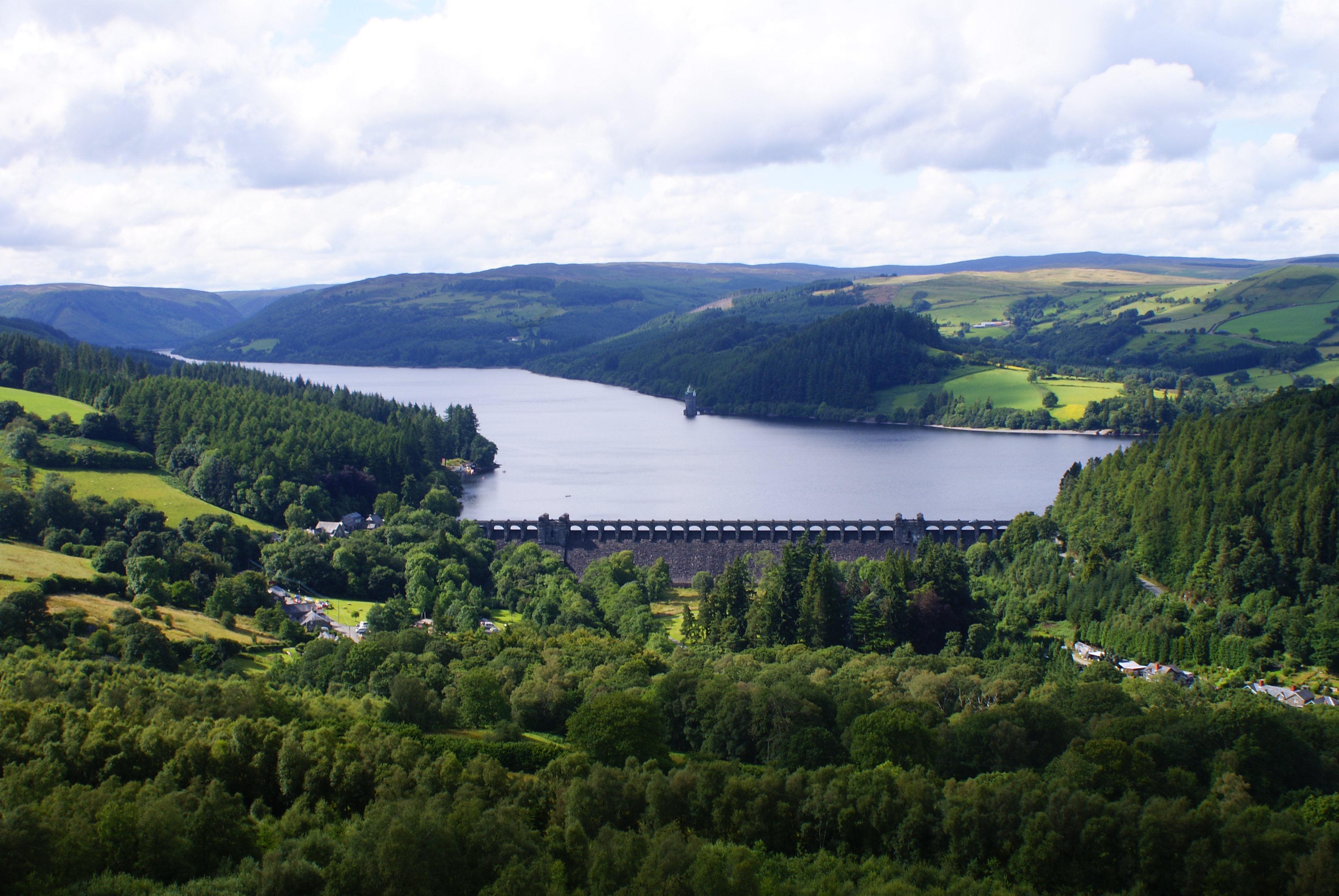
Lake Vyrnwy

Lake Vyrnwy (Welsh: Llyn Efyrnwy, pronounced [ɛˈvərnʊɨ] or Llyn Llanwddyn) is a reservoir in Powys, Wales, built in the 1880s for Liverpool Corporation...

Foel y Geifr

Foel y Geifr is a subsidiary summit of Esgeiriau Gwynion, and included in a group of hills known as the Hirnantau. These hills rise from the south east...

Bwlch y Groes

Bwlch y Groes (translates from Welsh as pass of the cross) is the second highest public road mountain pass in Wales, with a summit altitude of 545 metres...

Foel Goch (Hirnant)

Foel Goch is a subsidiary summit of Esgeiriau Gwynion, and is included in a group of hills known as the Hirnantau. These hills rise from the south east...

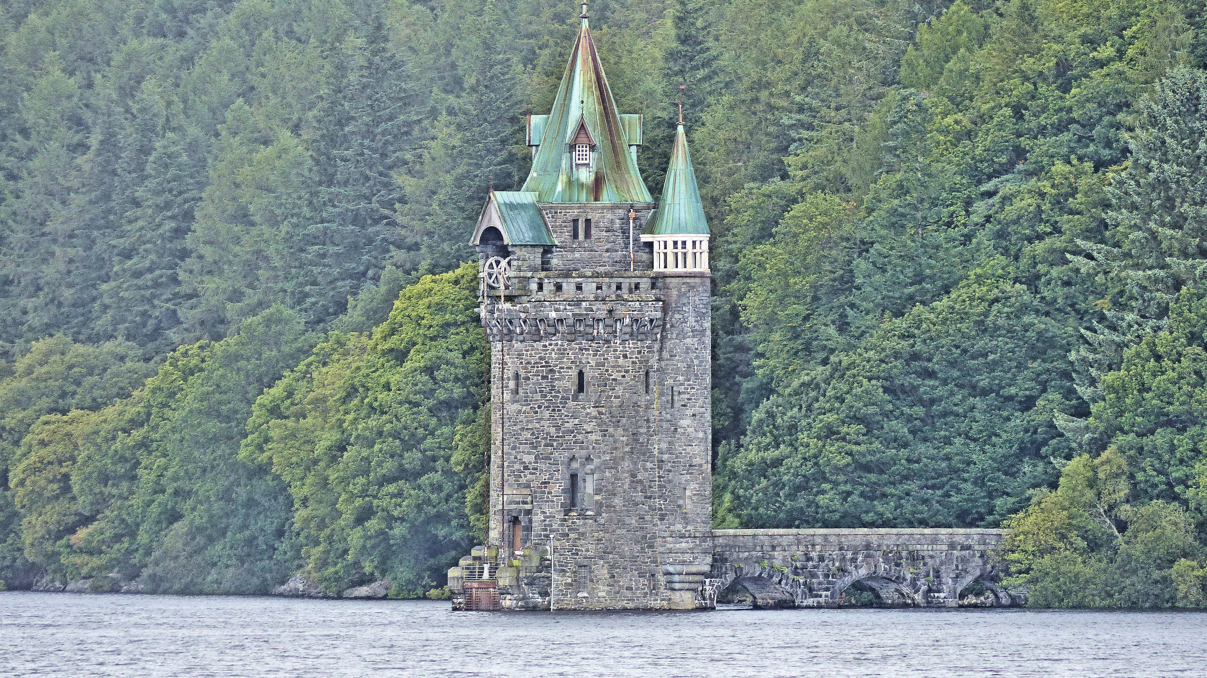
Lake Vyrnwy Straining Tower

The Straining Tower at Lake Vyrnwy is an intake tower built to extract water from the lake. The tower stands on the north shore of Lake Vyrnwy, near the...

Meirionnydd Nant Conwy (UK Parliament constituency)

Meirionnydd Nant Conwy was a constituency represented in the House of Commons of the Parliament of the United Kingdom. It elected one Member of Parliament...

St Melangell's Church, Pennant Melangell

St Melangell's Church, Pennant Melangell, is a small church located on a minor road which joins the B4391 near the village of Llangynog, Powys, Wales....

Nearby Amenities

Located within 500m of 52.801867,-3.53997
Source: npe
Lat/Long: 52.7990192/-3.5353033
Shelter
Centenary hide
Shelter Type: wildlife_hide
Lat/Long: 52.8037114/-3.533991
Barrier: cattle_grid
Bicycle: yes
Foot: yes
Lat/Long: 52.8042802/-3.5384052
Bench
Backrest: yes
Lat/Long: 52.8045923/-3.5393547
The data included in this document is from www.openstreetmap.org. The data is made available under ODbL.

Have you been to Allt y Gribin?

Leave your review of Allt y Gribin below (or comments, questions and feedback).