St Mary Hill Down

Downs, Moorland in Glamorgan

Wales

St Mary Hill Down

Chimney at former Llangan Lead Mine This chimney is all that is left of the Llangan Lead Mine which was active from 1855 to 1879. The site had been worked in the 18th century but was reopened to expolit a seam of lead and silver. The chimney stands solitary and somewhat incongruous in a private field in the glorious Vale of Glamorgan countryside but is a grade II listed structure.
Chimney at former Llangan Lead Mine Credit: Colin Cheesman

St Mary Hill Down, located in Glamorgan, Wales, is a picturesque area known for its stunning downs and moorland landscapes. Stretching across a vast expanse, this natural beauty spot captures the essence of the Welsh countryside.

The downs in St Mary Hill Down are characterized by rolling hills and open grasslands, creating a serene and tranquil environment. The undulating terrain offers breathtaking views of the surrounding areas, with the patchwork of fields and meadows adding to the charm. Visitors can take leisurely walks or hikes along the network of footpaths that crisscross the downs, immersing themselves in the peaceful ambiance and enjoying the fresh air.

The moorland in St Mary Hill Down is equally captivating. Covered in heather, gorse, and bracken, it presents a vibrant and colorful landscape, particularly during the blooming season. The moorland is also home to a diverse range of wildlife, including birds, small mammals, and insects, making it a haven for nature enthusiasts and birdwatchers.

Despite its remote and serene setting, St Mary Hill Down is accessible and well-connected. It offers ample parking facilities and nearby amenities, ensuring convenience for visitors. Its proximity to other attractions such as heritage sites, nature reserves, and charming villages makes it an ideal destination for day trips or longer stays.

Overall, St Mary Hill Down in Glamorgan is a captivating natural area that showcases the beauty of the Welsh countryside. Its downs and moorland offer a peaceful retreat for those seeking a break from the hustle and bustle of daily life, while also providing opportunities to explore and appreciate the rich biodiversity of the region.

If you have any feedback on the listing, please let us know in the comments section below.

St Mary Hill Down Images

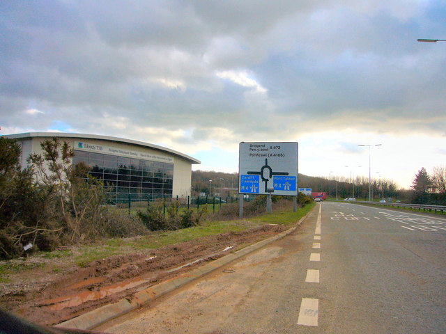
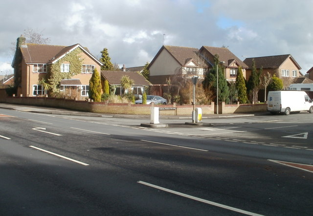
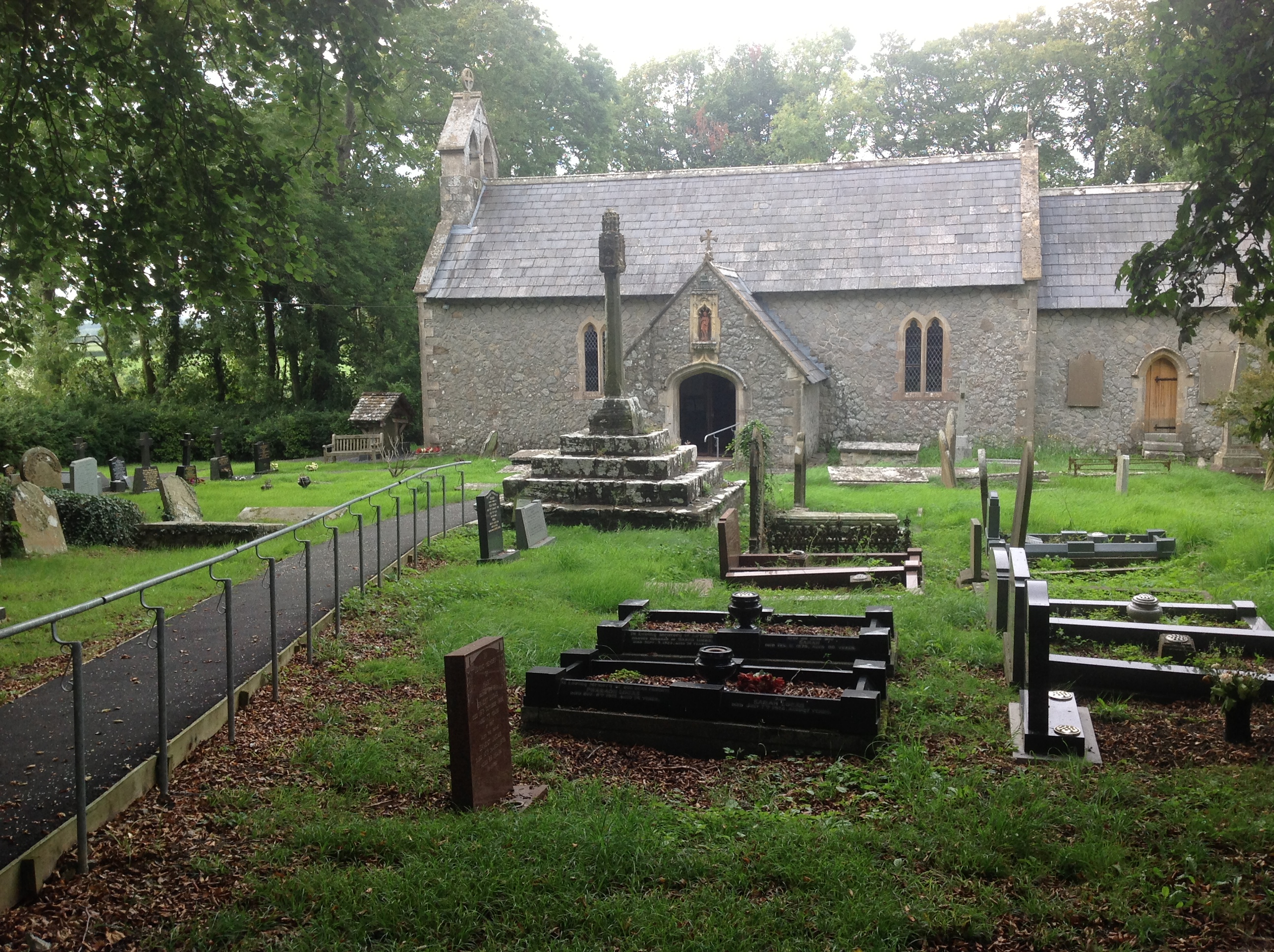
Images are sourced within 2km of 51.500465/-3.4960263 or Grid Reference SS9679. Thanks to Geograph Open Source API. All images are credited.

Chimney at former Llangan Lead Mine This chimney is all that is left of the Llangan Lead Mine which was active from 1855 to 1879. The site had been worked in the 18th century but was reopened to expolit a seam of lead and silver. The chimney stands solitary and somewhat incongruous in a private field in the glorious Vale of Glamorgan countryside but is a grade II listed structure.
Chimney at former Llangan Lead Mine
This chimney is all that is left of the Llangan Lead Mine which was active from 1855 to 1879. The site had been worked in the 18th century but was reopened to expolit a seam of lead and silver. The chimney stands solitary and somewhat incongruous in a private field in the glorious Vale of Glamorgan countryside but is a grade II listed structure.
Saron Welsh Congregationalist Chapel, Treoes This Chapel was built in 1841 on the site of a barn where the cause was established in 1831. A Gallery was added in 1861 and it was reroofed in 1986.
It is a Grade II Listed building.
Saron Welsh Congregationalist Chapel, Treoes
This Chapel was built in 1841 on the site of a barn where the cause was established in 1831. A Gallery was added in 1861 and it was reroofed in 1986. It is a Grade II Listed building.
Church of St Canna, Langan Probably 12th century in origin and plan, with the core walling possibly surviving in part, though very limited. Possibly 14th century rood stair and chancel arch. Some 16th century fabric may survive in the porch, but the church was externally almost completely rebuilt probably in 1856. The building has been unaltered since apart from the introduction of electricity.
Cadw listed as Grade II.
Church of St Canna, Langan
Probably 12th century in origin and plan, with the core walling possibly surviving in part, though very limited. Possibly 14th century rood stair and chancel arch. Some 16th century fabric may survive in the porch, but the church was externally almost completely rebuilt probably in 1856. The building has been unaltered since apart from the introduction of electricity. Cadw listed as Grade II.
Towards Coed-y-Mwstwr The Coed-y-Mwster Hotel is behind the trees mid left. The building bottom right is Torcoed Farmhouse. The main railway line from Swansea to London runs along the bottom of the image.
Towards Coed-y-Mwstwr
The Coed-y-Mwster Hotel is behind the trees mid left. The building bottom right is Torcoed Farmhouse. The main railway line from Swansea to London runs along the bottom of the image.
A473 Towards Coychurch
M4 Bridge
M4 Bridge
J34 M4 Roundabout
J34 M4 Roundabout
TSB Call Centre, Pencoed
Pencoed Industrial Estate New industrial estates spring up all along the M4 corridor. Just five years ago this was just another corner of the rural Vale of Glamorgan. The nearby industrial estate, despite many factory closures, continues to expand to eat away at the countryside.   The rear of this factory backs onto the M4.
Pencoed Industrial Estate
New industrial estates spring up all along the M4 corridor. Just five years ago this was just another corner of the rural Vale of Glamorgan. The nearby industrial estate, despite many factory closures, continues to expand to eat away at the countryside. The rear of this factory backs onto the M4.
Housing variety, Coychurch Road, Pencoed Houses on the east side of Coychurch Road, on the south side of the M4.
Housing variety, Coychurch Road, Pencoed
Houses on the east side of Coychurch Road, on the south side of the M4.
Coychurch Road passes beneath M4 motorway, Pencoed Is this a long bridge or a short tunnel? The structure, extending for 60 metres above the course of Coychurch Road, carries the M4 motorway. The location is about 500 metres WNW of M4 junction 35.
Coychurch Road passes beneath M4 motorway, Pencoed
Is this a long bridge or a short tunnel? The structure, extending for 60 metres above the course of Coychurch Road, carries the M4 motorway. The location is about 500 metres WNW of M4 junction 35.
Heol Maes Yr Haf, Pencoed Houses on the corner of Heol Maes Yr Haf, viewed across Coychurch Road.
Heol Maes Yr Haf, Pencoed
Houses on the corner of Heol Maes Yr Haf, viewed across Coychurch Road.
Distinctively roofed house, Heol Croesty, Pencoed House on the corner of Heol Croesty, viewed across Coychurch Road.
Distinctively roofed house, Heol Croesty, Pencoed
House on the corner of Heol Croesty, viewed across Coychurch Road.
Maerdy Hotel, Pencoed 3-star hotel and conference centre, Coychurch Road.
UPDATE The hotel was demolished in 2013.
This <a title="https://www.geograph.org.uk/photo/4387774" href="https://www.geograph.org.uk/photo/4387774">Link</a> November 2014 view shows recently-built houses on the site.
Maerdy Hotel, Pencoed
3-star hotel and conference centre, Coychurch Road. UPDATE The hotel was demolished in 2013. This Link November 2014 view shows recently-built houses on the site.
Sunset Slip! Sundown over Bridgend. Silhouetted pylons crossing the M4 as seen from the slip road.
Sunset Slip!
Sundown over Bridgend. Silhouetted pylons crossing the M4 as seen from the slip road.
Lane junction west of Isycoed
Road looking north near Ruthin Quarries
Lane junction near Heol Gerrig Farm
Show me another place!

St Mary Hill Down is located at Grid Ref: SS9679 (Lat: 51.500465, Lng: -3.4960263)

Unitary Authority: The Vale of Glamorgan

Police Authority: South Wales

What 3 Words

///dine.ordering.slurping. Near Llangan, Vale of Glamorgan

Related Wikis

St Mary Hill

St Mary Hill (Welsh: Eglwys Fair Y Mynydd) is a settlement in the Vale of Glamorgan, Wales. It is located approximately 4 miles (6.4 km) north west of...

St Canna Church, Llangan

St Canna Church is a church in Llangan, in the Vale of Glamorgan, south Wales. Its churchyard cross is a Grade I listed building, listed on 22 July 2003...

Llangan

Llangan (Welsh: Llanganna) is a small village and community in the Vale of Glamorgan, Wales. It is located approximately 4 miles (6.4 km) outside the market...

Coedymwstwr Woodlands

Coedymwstwr Woodlands is a Site of Special Scientific Interest located between Coychurch and Pencoed in Bridgend County Borough, south Wales. == See... ==

Nearby Amenities

Located within 500m of 51.500465,-3.4960263
Created By: Potlatch 0.10f
Man Made: tower
Lat/Long: 51.4998989/-3.4921126
Direction: SSE
Generator Method: photovoltaic
Generator Output Electricity: yes
Generator Solar Modules: 17
Generator Source: solar
Generator Type: solar_photovoltaic_panel
Location: roof
Power: generator
Lat/Long: 51.5043684/-3.4930944
Man Made: mast
Lat/Long: 51.5014516/-3.4948915
The data included in this document is from www.openstreetmap.org. The data is made available under ODbL.

Have you been to St Mary Hill Down?

Leave your review of St Mary Hill Down below (or comments, questions and feedback).