Timberscombe Common
Downs, Moorland in Somerset Somerset West and Taunton
England
Timberscombe Common
Timberscombe Common is a picturesque area of land located in Somerset, England. It is situated on the eastern edge of Exmoor National Park, encompassing both downs and moorland landscapes. Covering an expansive area of approximately 300 hectares, the common is a haven for nature enthusiasts and outdoor lovers.
The downs of Timberscombe Common are characterized by rolling hills and open grassland. These areas offer breathtaking views of the surrounding countryside, with the patchwork fields of the Somerset countryside stretching out into the distance. The downs are home to a variety of plant species, including vibrant wildflowers such as bluebells and primroses, which create a stunning display in the springtime.
In contrast, the moorland areas of Timberscombe Common are characterized by their rugged and wild nature. Here, visitors can explore vast expanses of heather-covered land, dotted with gorse bushes and scattered rocks. The moorland is an important habitat for a range of bird species, such as curlews and lapwings, which are often spotted soaring above the landscape.
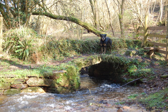
Timberscombe Common is crisscrossed by a network of footpaths and bridleways, allowing visitors to explore the area on foot, by bike, or on horseback. These paths lead visitors through a diverse range of habitats, including woodlands, streams, and ponds, providing ample opportunities for wildlife spotting.
Overall, Timberscombe Common offers a unique and diverse natural environment, where visitors can immerse themselves in the beauty of the Somerset countryside. Whether it's a leisurely stroll across the downs or an adventurous hike through the moorland, this common provides a truly enriching experience for all who visit.
If you have any feedback on the listing, please let us know in the comments section below.
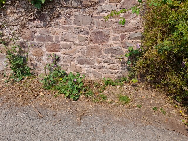
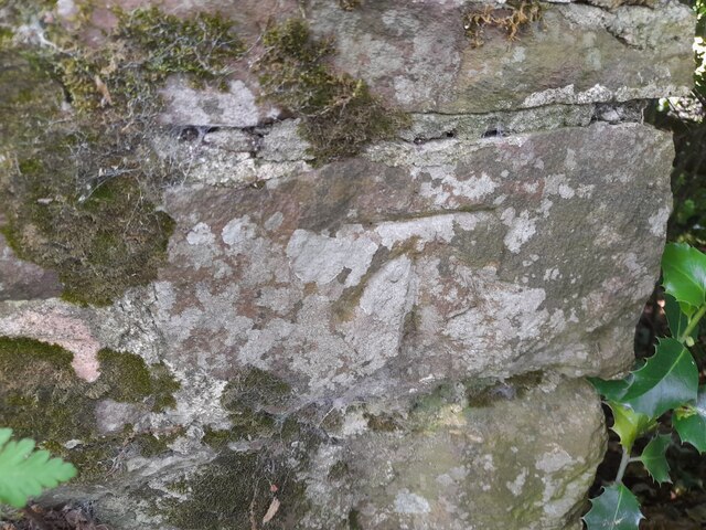
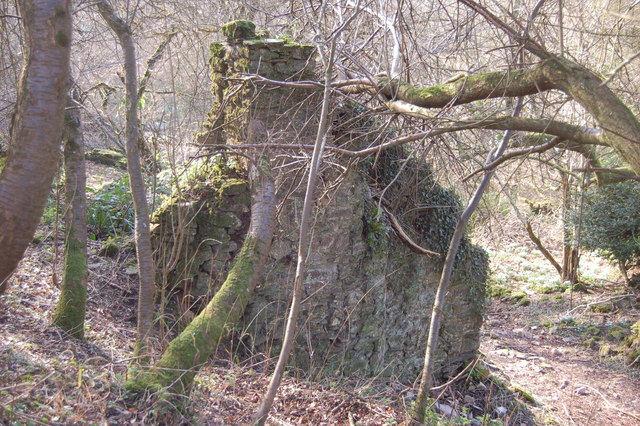
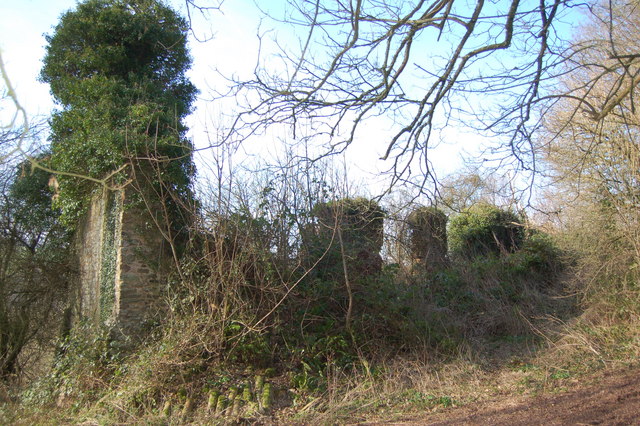
Timberscombe Common Images
Images are sourced within 2km of 51.16524/-3.4845942 or Grid Reference SS9641. Thanks to Geograph Open Source API. All images are credited.


Timberscombe Common is located at Grid Ref: SS9641 (Lat: 51.16524, Lng: -3.4845942)
Administrative County: Somerset
District: Somerset West and Taunton
Police Authority: Avon and Somerset
What 3 Words
///mush.confined.depended. Near Minehead, Somerset
Nearby Locations
Related Wikis

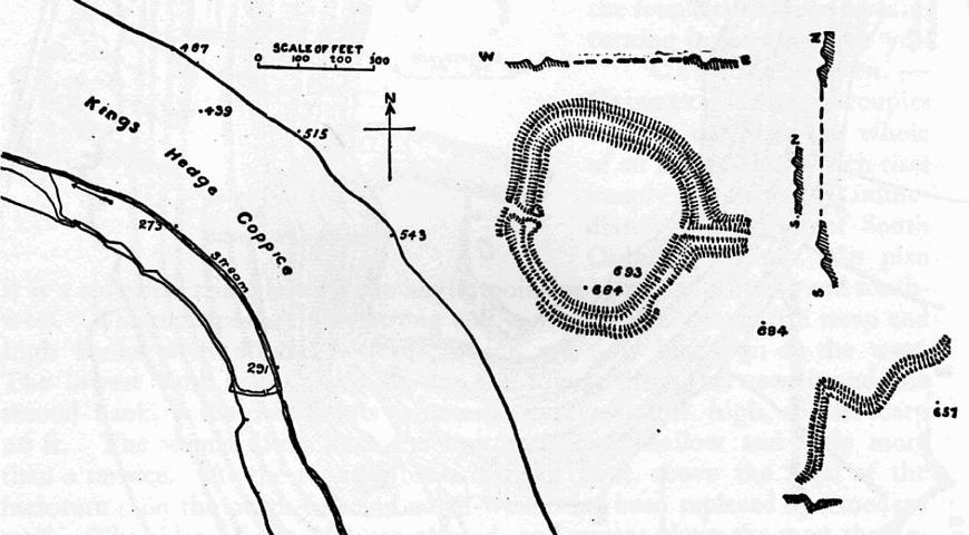
Long Wood Enclosure
Long Wood Enclosure is an enclosure which may have been a univallate Iron Age hill fort, in the West Somerset district of Somerset, England. The hill fort...

Black Ball Camp
Black Ball Camp is an Iron Age hillfort South West of Dunster, Somerset, England on the northern summit of Gallox Hill. It is a Scheduled Monument. It...
Bat's Castle
Bats Castle is an Iron Age hillfort at the top of a 213 metres (699 ft) high hill in the parish of Carhampton south south west of Dunster in Somerset,...

Dunster Park and Heathlands
Dunster Park and Heathlands (grid reference SS955441) is a 466.6 hectare biological Site of Special Scientific Interest in Somerset, notified in 2000....
Nearby Amenities
Located within 500m of 51.16524,-3.4845942Have you been to Timberscombe Common?
Leave your review of Timberscombe Common below (or comments, questions and feedback).