Abertechan Wood

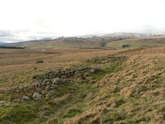
Downs, Moorland in Perthshire

Scotland

Abertechan Wood

Moorland, Braes of Fowlis
Moorland, Braes of Fowlis Credit: Richard Webb

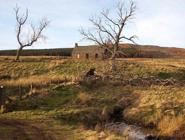
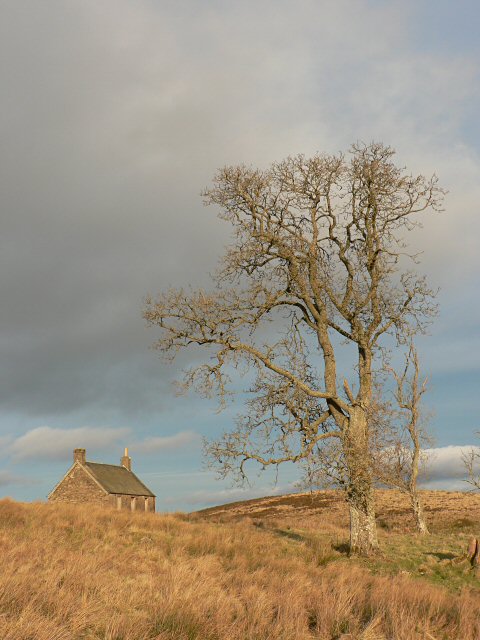
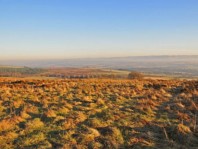
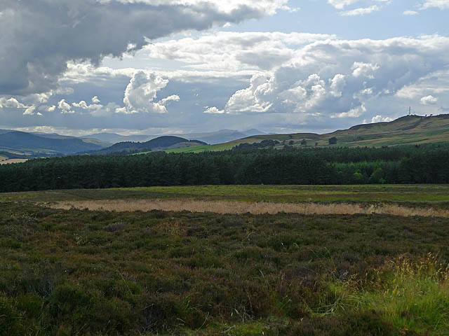
Abertechan Wood is a picturesque natural area located in Perthshire, Scotland. Situated on the outskirts of the town of Aberfeldy, this woodland region offers a diverse range of landscapes, including downs and moorland, making it a popular destination for nature enthusiasts and hikers.

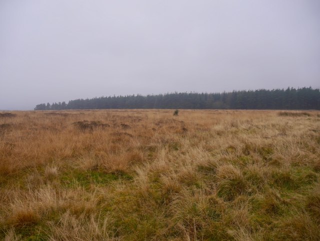
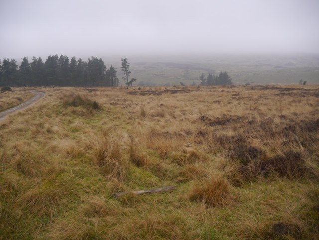
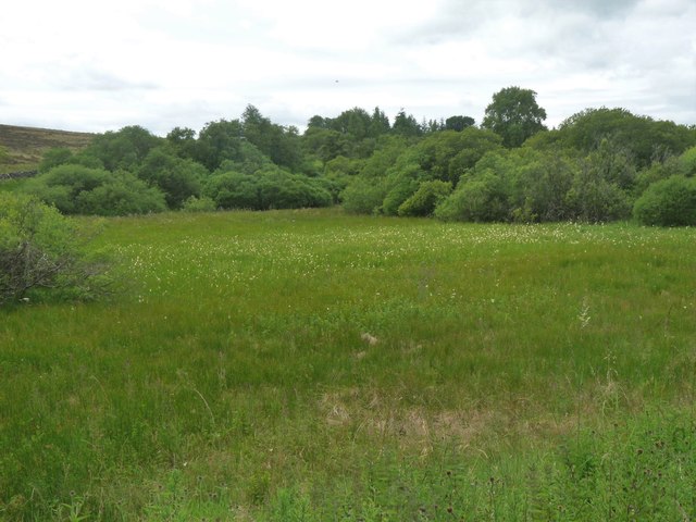
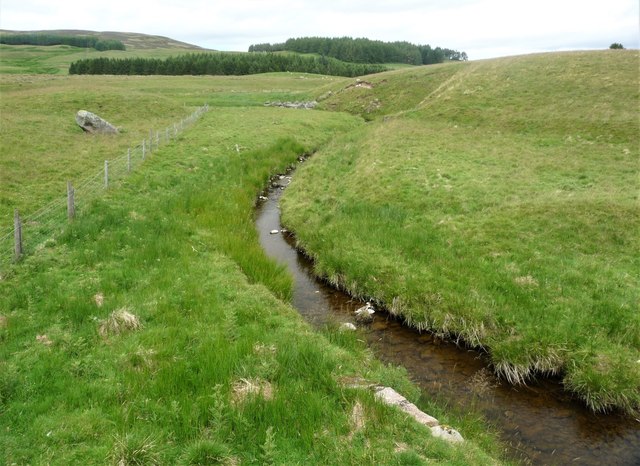
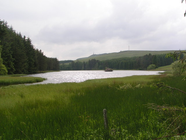
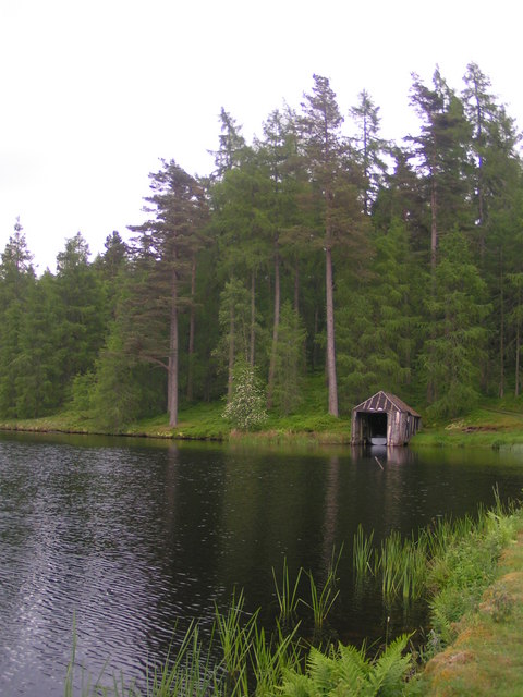
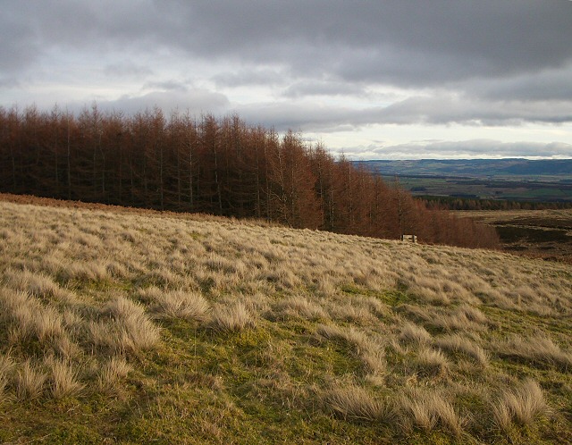
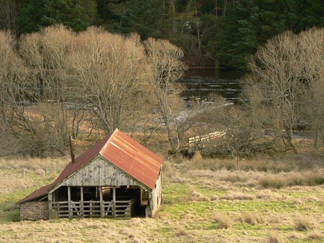
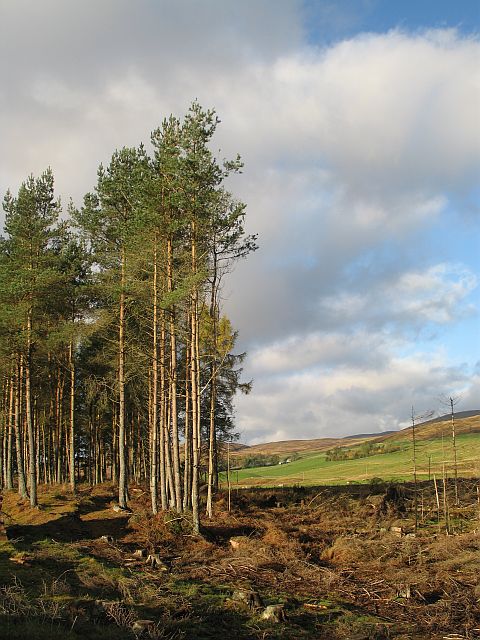
Covering an expansive area, Abertechan Wood is characterized by its dense forests, rolling hills, and open heathlands. The woodland is predominantly composed of native Scottish trees such as oak, birch, and pine, which create a vibrant and lush environment. The diverse flora within the wood provides a habitat for various wildlife species, including birds, deer, and smaller mammals.

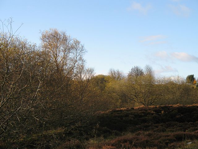
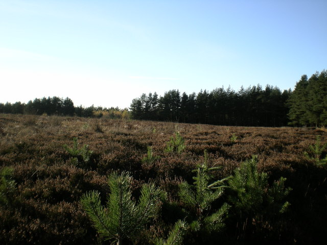
The downs of Abertechan Wood are home to a wide range of plant species, including heather, grasses, and wildflowers, which bloom vibrantly during the summer months. The open downs also offer breathtaking panoramic views of the surrounding countryside, providing an idyllic setting for leisurely walks and picnics.

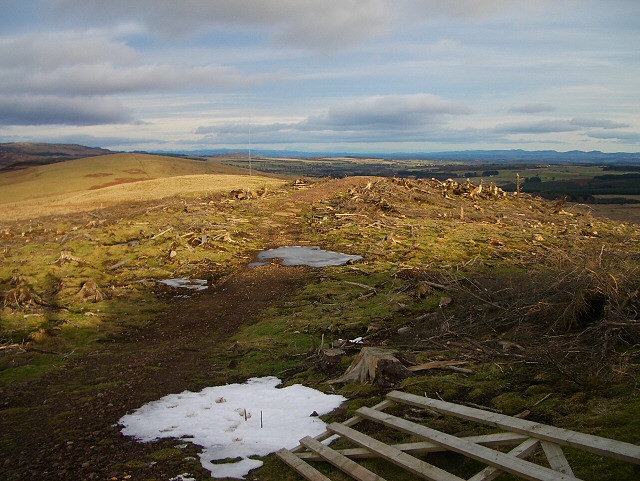
In contrast, the moorland areas of Abertechan Wood are characterized by their rugged terrain and extensive stretches of heather. This unique landscape is a haven for birdwatchers, as it attracts an array of bird species, including grouse, curlew, and golden plover.

Abertechan Wood is easily accessible by foot, with well-maintained paths and trails that allow visitors to explore its vast expanse. The wood offers a peaceful retreat away from the hustle and bustle of city life, inviting visitors to immerse themselves in the tranquility of nature.

Overall, Abertechan Wood in Perthshire is a captivating natural area that showcases the beauty of Scotland's woodlands, downs, and moorland. Its diverse landscapes and abundant wildlife make it a must-visit destination for both locals and tourists seeking to connect with nature.

If you have any feedback on the listing, please let us know in the comments section below.

Abertechan Wood Images

Images are sourced within 2km of 56.406792/-3.7833941 or Grid Reference NN9025. Thanks to Geograph Open Source API. All images are credited.

Moorland, Braes of Fowlis
Moorland, Braes of Fowlis The woodland is beside the Loch Meallbrodden reservoir.
Moorland, Braes of Fowlis
The woodland is beside the Loch Meallbrodden reservoir.
Boggy hollow at Bracketriggs
Fendoch Burn reaching the A822 The source of this burn is on Meall Tarsuinn a mile or so west of the Sma' Glen.
Fendoch Burn reaching the A822
The source of this burn is on Meall Tarsuinn a mile or so west of the Sma' Glen.
Loch Meallbrodden
Loch Meallbrodden
boathouse - Loch Meallbrodden
Felled forestry The strip of this curiously shaped plantation which climbs up and over the ridge has recently been felled and a rough track driven through to provide access to the anemometer in the distance. The gate has been abandoned on the ground as it serves no purpose now.
Felled forestry
The strip of this curiously shaped plantation which climbs up and over the ridge has recently been felled and a rough track driven through to provide access to the anemometer in the distance. The gate has been abandoned on the ground as it serves no purpose now.
Anemometer I believe these are erected in order to check out the wind speed with a view to positioning wind farms. This ridge is just south of the Sma' Glen and overlooks Strathearn in the opposite direction.
Anemometer
I believe these are erected in order to check out the wind speed with a view to positioning wind farms. This ridge is just south of the Sma' Glen and overlooks Strathearn in the opposite direction.
Corner of plantation This plantation runs along the lower slopes of the ridge north of Loch Meallbrodden. The section of forestry which crosses the ridge has been felled, but this is left standing.
Corner of plantation
This plantation runs along the lower slopes of the ridge north of Loch Meallbrodden. The section of forestry which crosses the ridge has been felled, but this is left standing.
Ardoch A disused house north of Loch Meallbrodden, taken from a bend in the track that rounds the loch. Half of the forestry plantation behind the house has been felled, leaving a strip running along the lower slopes of the ridge.
Ardoch
A disused house north of Loch Meallbrodden, taken from a bend in the track that rounds the loch. Half of the forestry plantation behind the house has been felled, leaving a strip running along the lower slopes of the ridge.
Ardoch Three tree stand around this disused cottage, two of which are shown here.
Ardoch
Three tree stand around this disused cottage, two of which are shown here.
Shed at Ardoch This building stands close to Loch Meallbrodden.
Shed at Ardoch
This building stands close to Loch Meallbrodden.
Ruin This looks like the remains of an abandoned croft, but nothing is shown on the OS map at this point.
Ruin
This looks like the remains of an abandoned croft, but nothing is shown on the OS map at this point.
Woodland, Bracketriggs Much of this pinewood has recently been felled.
Woodland, Bracketriggs
Much of this pinewood has recently been felled.
Woodland, Bracketriggs To the south of the Sma' Glen road the ground is wet, favouring sally trees.
Woodland, Bracketriggs
To the south of the Sma' Glen road the ground is wet, favouring sally trees.
Heather moorland and Low Moor Wood At the edge of the heather moorland with scattered self seeded coniferous.
Heather moorland and Low Moor Wood
At the edge of the heather moorland with scattered self seeded coniferous.
Moorland near Belnollo Ochil Hills in the far distance
Moorland near Belnollo
Ochil Hills in the far distance
Low Moor Wood With heather clad moorland of the Braes of Fowlis in the foreground. the dark rounded double hill to the left of centre in the background is the Knock of Crieff and to the far left is Torlum Hill. In the far distance, just right of centre is Ben Vorlich.
Low Moor Wood
With heather clad moorland of the Braes of Fowlis in the foreground. the dark rounded double hill to the left of centre in the background is the Knock of Crieff and to the far left is Torlum Hill. In the far distance, just right of centre is Ben Vorlich.
Show me another place!

Abertechan Wood is located at Grid Ref: NN9025 (Lat: 56.406792, Lng: -3.7833941)

Unitary Authority: Perth and Kinross

Police Authority: Tayside

What 3 Words

///cabbages.cafe.collects. Near Crieff, Perth & Kinross

Nearby Locations

Abertechan Wood

Related Wikis

A822 road

The A822 is a road which runs through Perthshire in Scotland. It runs from the A9 road at Greenloaning, and rejoins the A9 at Dunkeld. It goes through...

Monzie Castle

Monzie Castle is a castellated mansion, near Monzie in Perth and Kinross, Scotland that incorporates an L-plan, early 17th-century building that was enlarged...

Fowlis Wester

Fowlis Wester, also spelt Fowlis-Wester, is a small village in Perth and Kinross, Scotland. It is around 6 kilometres (3.7 mi) east of Crieff and 19 kilometres...

Abercairny

Abercairny is an estate in the Scottish region of Perth and Kinross. It had the distinction of a short visit by Queen Victoria 12 September 1842, when...

Nearby Amenities

Located within 500m of 56.406792,-3.7833941
Design: barrel
Power: tower
Lat/Long: 56.4062306/-3.7769044
Power: pole
Lat/Long: 56.4050019/-3.7902934
Power: pole
Lat/Long: 56.405527/-3.7905802
Power: pole
Lat/Long: 56.4061825/-3.7909647
Power: pole
Lat/Long: 56.4066965/-3.7912692
The data included in this document is from www.openstreetmap.org. The data is made available under ODbL.

Have you been to Abertechan Wood?

Leave your review of Abertechan Wood below (or comments, questions and feedback).