Western Moor
Downs, Moorland in Devon Mid Devon
England
Western Moor
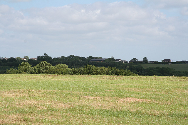
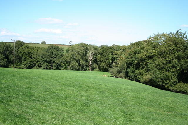
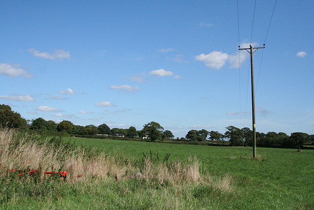
Western Moor is a region located in the county of Devon, England. It is characterized by its picturesque landscape of downs and moorland, making it a popular destination for nature enthusiasts and outdoor adventurers. The area is known for its natural beauty and diverse wildlife, offering visitors a unique and immersive experience.
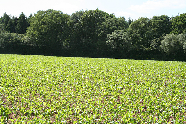
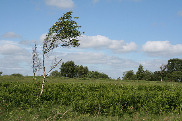
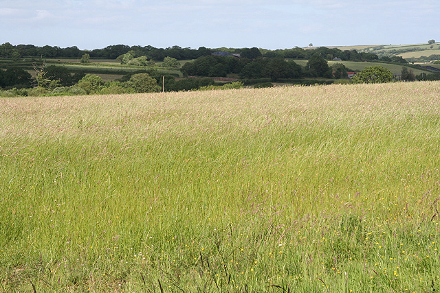
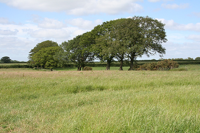
The downs in Western Moor are rolling hills, covered in lush green grass and dotted with vibrant wildflowers during the warmer months. These hills provide breathtaking panoramic views of the surrounding countryside and create a tranquil and serene atmosphere. The moorland, on the other hand, is characterized by its expansive open spaces, heather-covered hills, and scattered rocky outcrops. The moorland is home to a variety of wildlife, including birds, reptiles, and small mammals, making it a haven for wildlife enthusiasts and birdwatchers.
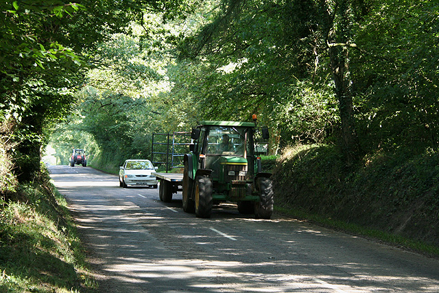
In addition to its natural beauty, Western Moor offers a range of recreational activities for visitors. Hiking and walking trails crisscross the region, allowing visitors to explore the stunning landscapes and discover hidden gems. Cycling is also a popular activity, with dedicated paths and routes available for both leisurely rides and more challenging adventures. The area is also renowned for its fishing opportunities, with several rivers and lakes providing ample space for anglers to cast their lines and try their luck.
Overall, Western Moor in Devon offers a captivating blend of downs and moorland, providing a diverse and captivating landscape for visitors to explore and enjoy.
If you have any feedback on the listing, please let us know in the comments section below.
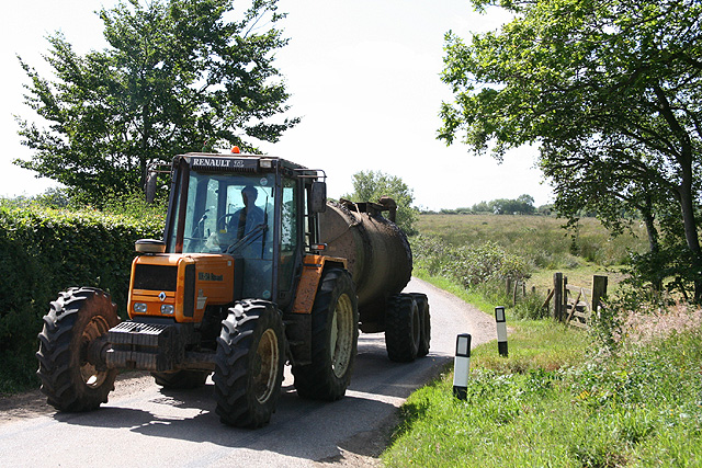
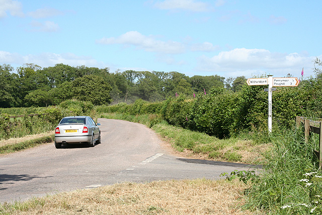
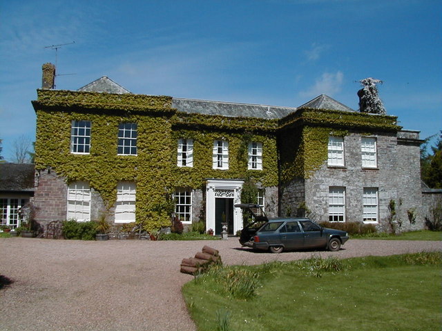
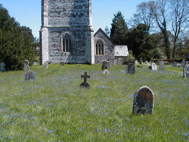
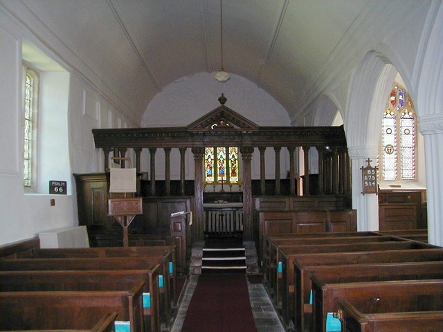
Western Moor Images
Images are sourced within 2km of 50.909291/-3.6188465 or Grid Reference SS8613. Thanks to Geograph Open Source API. All images are credited.
Western Moor is located at Grid Ref: SS8613 (Lat: 50.909291, Lng: -3.6188465)
Administrative County: Devon
District: Mid Devon
Police Authority: Devon and Cornwall
What 3 Words
///ribcage.celebrate.star. Near Witheridge, Devon
Nearby Locations
Related Wikis

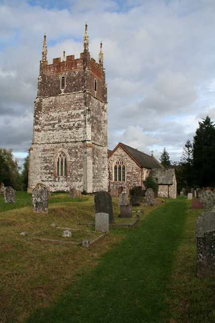
Cruwys Morchard
Cruwys Morchard is an ecclesiastical and civil parish in the Mid Devon district of the county of Devon in England. It is located about four to five miles...

Nomansland, Devon
Nomansland is a hamlet in Devon, England, with a population of about 150. It is eight miles west of Tiverton. It is so named because it was at one time...

Templeton, Devon
Templeton is a hamlet, parish and former manor in Devon, England, situated 4 miles west of Tiverton. The parish church is dedicated to St Margaret. �...

Puddington, Devon
Puddington is a small village in Mid Devon within the Witheridge hundred. It is approximately nine miles from the town of Tiverton and 8 Miles from Crediton...
Nearby Amenities
Located within 500m of 50.909291,-3.6188465Have you been to Western Moor?
Leave your review of Western Moor below (or comments, questions and feedback).