Prescott Down

Downs, Moorland in Somerset Somerset West and Taunton

England

Prescott Down

Church of St, Mary Magdalene in Exford The fifteenth century Church of St, Mary Magdalene in Exford, photographed from Church Hill.
Church of St, Mary Magdalene in Exford Credit: Kevin Pearson

Prescott Down, Somerset, also known as Downs or Moorland, is a picturesque area located in the southwestern part of England. It covers a vast expanse of approximately 2,500 acres and is renowned for its stunning natural beauty and diverse wildlife.

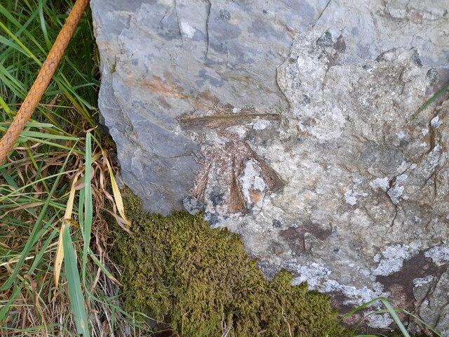
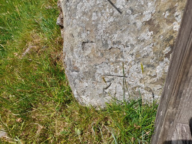
The landscape of Prescott Down is characterized by rolling hills, open fields, and heathland, providing breathtaking panoramic views of the surrounding countryside. The area is rich in biodiversity, with a variety of flora and fauna inhabiting the diverse habitats found here, including wildflowers, grasses, and mosses, as well as numerous bird species, butterflies, and small mammals.

Prescott Down is a popular destination for outdoor enthusiasts, offering a range of activities such as hiking, cycling, and horseback riding. The network of well-maintained trails and paths allows visitors to explore the area and immerse themselves in its peaceful and tranquil atmosphere.

The site is also of historical significance, with evidence of human activity dating back to the prehistoric era. Archaeological finds, including ancient burial sites and artifacts, have been discovered in the area, providing valuable insights into the region's past.

Prescott Down is managed and protected by local conservation organizations, ensuring the preservation of its natural beauty and ecological balance. Visitors are encouraged to respect the environment and follow designated trails to minimize their impact on the delicate ecosystems.

Overall, Prescott Down, Somerset, offers a peaceful retreat for nature lovers and history enthusiasts alike, providing a unique opportunity to connect with the natural world and appreciate the beauty of the Somerset countryside.

If you have any feedback on the listing, please let us know in the comments section below.

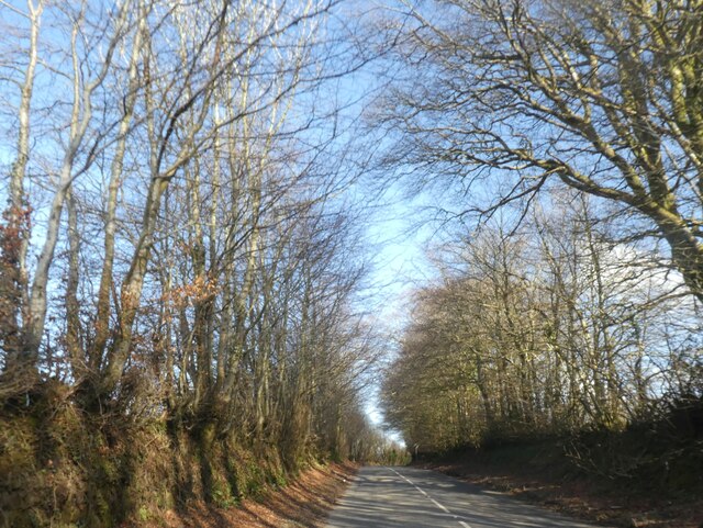
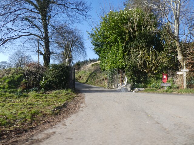
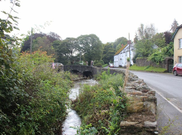
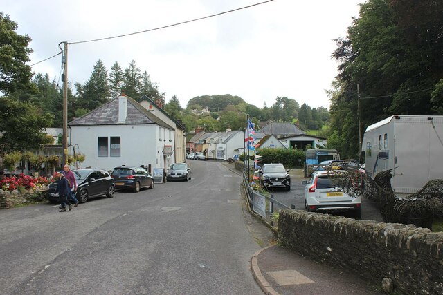
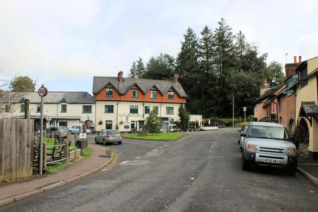
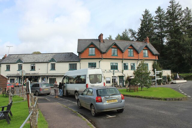
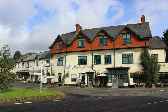
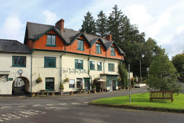
Prescott Down Images

Images are sourced within 2km of 51.146328/-3.6271707 or Grid Reference SS8639. Thanks to Geograph Open Source API. All images are credited.

Church of St, Mary Magdalene in Exford The fifteenth century Church of St, Mary Magdalene in Exford, photographed from Church Hill.
Church of St, Mary Magdalene in Exford
The fifteenth century Church of St, Mary Magdalene in Exford, photographed from Church Hill.
An avenue of trees growing out of the hedge, east of Exford
Stone Lane and a postbox by the gate
Road fork at Langdon's Way
Ordnance Survey Cut Mark This OS cut mark can be found on the roadside barn at Edgcott Farm. It marks a point 262.347m above mean sea level.
Ordnance Survey Cut Mark
This OS cut mark can be found on the roadside barn at Edgcott Farm. It marks a point 262.347m above mean sea level.
The River Exe at Exford The bridge over the Exe is Grade II listed, see: <span class="nowrap"><a title="https://britishlistedbuildings.co.uk/101345716-exford-bridge-at-ngr-ss-8525-3836-exford" rel="nofollow ugc noopener" href="https://britishlistedbuildings.co.uk/101345716-exford-bridge-at-ngr-ss-8525-3836-exford">Link</a><img style="margin-left:2px;" alt="External link" title="External link - shift click to open in new window" src="https://s1.geograph.org.uk/img/external.png" width="10" height="10"/></span>.
The River Exe at Exford
The bridge over the Exe is Grade II listed, see: LinkExternal link.
The Exmoor White Horse Inn, Exford
Chapel Street, Exford
B3224 Road junction, Exford Straight on and up Church Hill to Wheddon Cross, behind me Chapel Street to Simonsbath, to the left Park Street to, eventually, Porlock. The Crown Hotel is prominent.
B3224 Road junction, Exford
Straight on and up Church Hill to Wheddon Cross, behind me Chapel Street to Simonsbath, to the left Park Street to, eventually, Porlock. The Crown Hotel is prominent.
Rush hour in Exford It's 10.33am and the 198 bus is about to depart for Minehead - miss it and you'll have to wait until 7.57am the next day. It will have started from Brushford (near Dulverton) at 9.55am, arrival time in Minehead is 11.19am. The service is operated by Atwest - Accessible Transport in West Somerset, a registered charity, see: <span class="nowrap"><a title="https://www.atwest.org.uk/" rel="nofollow ugc noopener" href="https://www.atwest.org.uk/">Link</a><img style="margin-left:2px;" alt="External link" title="External link - shift click to open in new window" src="https://s1.geograph.org.uk/img/external.png" width="10" height="10"/></span>
Rush hour in Exford
It's 10.33am and the 198 bus is about to depart for Minehead - miss it and you'll have to wait until 7.57am the next day. It will have started from Brushford (near Dulverton) at 9.55am, arrival time in Minehead is 11.19am. The service is operated by Atwest - Accessible Transport in West Somerset, a registered charity, see: LinkExternal link
The Crown Hotel, Exford Situated at the bottom of Church Hill, the B3224, at its junction with Park Street.
The Crown Hotel, Exford
Situated at the bottom of Church Hill, the B3224, at its junction with Park Street.
The Crown Hotel, Exford
Ordnance Survey Cut Mark This OS cut mark can be found on the gatepost SE side of the road. It marks a point 415.420m above mean sea level.
Ordnance Survey Cut Mark
This OS cut mark can be found on the gatepost SE side of the road. It marks a point 415.420m above mean sea level.
Ordnance Survey Cut Mark This OS cut mark can be found on the gatepost NW side of the road. It marks a point 401.506m above mean sea level.
Ordnance Survey Cut Mark
This OS cut mark can be found on the gatepost NW side of the road. It marks a point 401.506m above mean sea level.
Exford Post Office
Exford Post Office
Exford Village Green Very nearly the geographic centre of Exmoor.
Exford Village Green
Very nearly the geographic centre of Exmoor.
Exford: The Exmoor White Horse Inn By the bridge over the river Exe on the Simonsbath – Wheddon Cross road. An inn with 26 bedrooms, so perhaps better classified as an hotel
Exford: The Exmoor White Horse Inn
By the bridge over the river Exe on the Simonsbath – Wheddon Cross road. An inn with 26 bedrooms, so perhaps better classified as an hotel
Exford: Coombe Farm A barn here was water-powered in the 19th century. A long flume or aqueduct was necessary to get the leat water to the wheel, crossing a farm access road. All evidence of this installation has long since disappeared
Exford: Coombe Farm
A barn here was water-powered in the 19th century. A long flume or aqueduct was necessary to get the leat water to the wheel, crossing a farm access road. All evidence of this installation has long since disappeared
Show me another place!

Prescott Down is located at Grid Ref: SS8639 (Lat: 51.146328, Lng: -3.6271707)

Administrative County: Somerset

District: Somerset West and Taunton

Police Authority: Avon and Somerset

What 3 Words

///lands.puff.dentistry. Near Porlock, Somerset

Nearby Locations

Stone Down Prescott Down

Related Wikis

Church of St Mary Magdelene, Exford

The Anglican Church of St Mary Magdelene in Exford, Somerset, England was built in the 15th century. It is a Grade II* listed building. == History == Nothing...

Exford, Somerset

Exford is a rural village at the centre of Exmoor National Park, 7 miles (11 km) north-west of Dulverton, and 10 miles (16 km) south-west of Minehead,...

Road Castle

Road Castle is an Iron Age bank and ditch in the West Somerset district of Somerset, England. The hill fort is situated approximately 2 miles (3.2 km)...

Almsworthy Common

Almsworthy Common is a small area of unenclosed land in Exmoor, south-western England. It contains a number of archaeological sites. It is about 2 miles...

Nearby Amenities

Located within 500m of 51.146328,-3.6271707
Prescott Down
Place: locality
Lat/Long: 51.1464183/-3.6247635
The data included in this document is from www.openstreetmap.org. The data is made available under ODbL.

Have you been to Prescott Down?

Leave your review of Prescott Down below (or comments, questions and feedback).