Kingshaw Moss

Downs, Moorland in Lanarkshire

Scotland

Kingshaw Moss

Burn Road Garage, Carluke
Burn Road Garage, Carluke Credit: Elliott Simpson

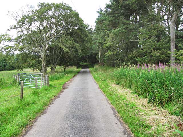
Kingshaw Moss is a picturesque area located in Lanarkshire, Scotland. It is characterized by its unique blend of downs and moorland landscapes, offering visitors a diverse and captivating natural environment to explore.

The downs of Kingshaw Moss are rolling hills covered in lush green grasses and dotted with vibrant wildflowers during the warmer months. The area is known for its gentle slopes and expansive views, making it a popular spot for outdoor enthusiasts and nature lovers. Hiking and walking trails crisscross the downs, providing visitors with opportunities to immerse themselves in the tranquil beauty of the surroundings.

Adjacent to the downs, the moorland of Kingshaw Moss offers a stark contrast in scenery. It is a vast expanse of open land, characterized by low-growing vegetation, heather, and peat bogs. Moorland birds such as curlews and lapwings can often be spotted, adding to the area's unique charm.

Kingshaw Moss is also home to a variety of wildlife, including deer, rabbits, and various bird species. The diverse ecosystem provides a habitat for numerous plant species, contributing to the area's ecological significance.

Visitors to Kingshaw Moss can enjoy a range of outdoor activities, including birdwatching, photography, and picnicking. The tranquil atmosphere and breathtaking scenery make it an ideal destination for those seeking a peaceful retreat in nature.

Overall, Kingshaw Moss in Lanarkshire offers a captivating blend of downs and moorland landscapes, providing visitors with a rich and diverse natural environment to explore and enjoy.

If you have any feedback on the listing, please let us know in the comments section below.

Kingshaw Moss Images

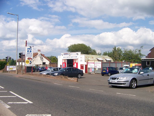
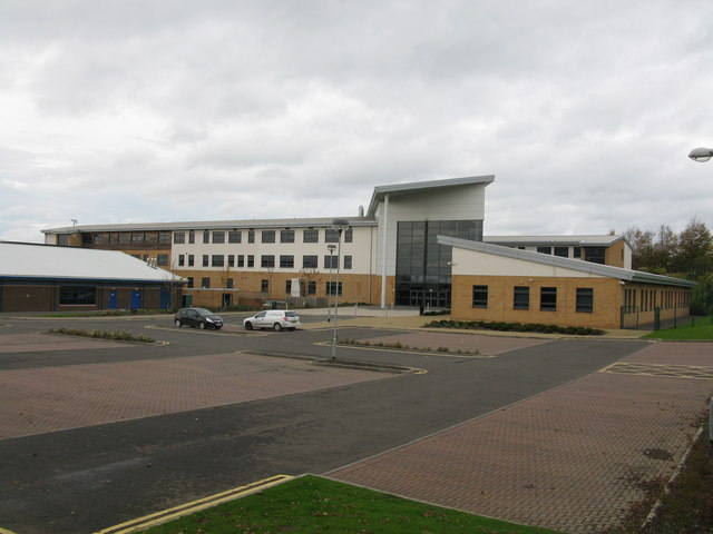
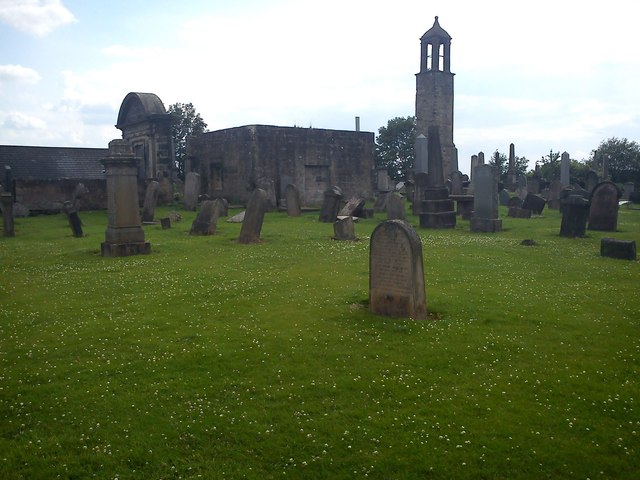
Images are sourced within 2km of 55.744517/-3.8123039 or Grid Reference NS8651. Thanks to Geograph Open Source API. All images are credited.

Burn Road Garage, Carluke
Thorn Road near Yieldshields The tarmac stops at Under Thorn
Thorn Road near Yieldshields
The tarmac stops at Under Thorn
Carluke High School A new school building, opened in November 2007, which has been constructed on the site of the former playing fields.
Carluke High School
A new school building, opened in November 2007, which has been constructed on the site of the former playing fields.
Highmill Windmill This once industrious mill is about to fall if action isn't taken soon to repair it.
Highmill Windmill
This once industrious mill is about to fall if action isn't taken soon to repair it.
St.Luke's Graveyard, Belfry and ruins of Church Carluke parish church, which belonged to Lesmahagow Priory, was dedicated to St Andrew, but there was an earlier dedication to St Luag or Maluag. Fragments remain of the 14th or 15th c church, which measured 90' x 24'. In ruins by 1650, it was repaired, and a belfry added in 1715. This church was replaced in 1799 by the present parish church, and was dismantled early in the 19th century.
St.Luke's Graveyard, Belfry and ruins of Church
Carluke parish church, which belonged to Lesmahagow Priory, was dedicated to St Andrew, but there was an earlier dedication to St Luag or Maluag. Fragments remain of the 14th or 15th c church, which measured 90' x 24'. In ruins by 1650, it was repaired, and a belfry added in 1715. This church was replaced in 1799 by the present parish church, and was dismantled early in the 19th century.
Belstane Town Farm Just north of Carluke on the minor road between Carluke and Newmains.
Belstane Town Farm
Just north of Carluke on the minor road between Carluke and Newmains.
Bogside Farm North of Carluke.
Bogside Farm
North of Carluke.
Entrance to Yieldshields
Moss-side With the inevitable wind farm behind.
Moss-side
With the inevitable wind farm behind.
Tree overhanging Stonedyke Road A minor road just outside Carluke.
Tree overhanging Stonedyke Road
A minor road just outside Carluke.
Children's Play Park, Yieldshields In the centre of the village of Yieldshields at the intersection of Yieldshields Road and Stonedyke Road.
Children's Play Park, Yieldshields
In the centre of the village of Yieldshields at the intersection of Yieldshields Road and Stonedyke Road.
The A73 heading in to Carluke In South Lanarkshire.
The A73 heading in to Carluke
In South Lanarkshire.
Heading towards Overquarter Farm At Yieldshields in South Lanarkshire.
Heading towards Overquarter Farm
At Yieldshields in South Lanarkshire.
The Yeildshields Road Heading towards its junction with the A721 at Roadmeetings, Carluke.
The Yeildshields Road
Heading towards its junction with the A721 at Roadmeetings, Carluke.
Minor road near Yieldshields
Black Law wind farm from the air Located between Forth and Carluke. Some other wind farms are also visible, as are the distant city of Edinburgh and the Firth of Forth.
Black Law wind farm from the air
Located between Forth and Carluke. Some other wind farms are also visible, as are the distant city of Edinburgh and the Firth of Forth.
Belstane Stables from the air The stables and gallops are to the north of Carluke.
Belstane Stables from the air
The stables and gallops are to the north of Carluke.
Old field boundary off Thorn Road A parcel of land which has escaped the forestry plantings that take up much of the ground to the west of Thorn Road.
Old field boundary off Thorn Road
A parcel of land which has escaped the forestry plantings that take up much of the ground to the west of Thorn Road.
Show me another place!

Kingshaw Moss is located at Grid Ref: NS8651 (Lat: 55.744517, Lng: -3.8123039)

Unitary Authority: South Lanarkshire

Police Authority: Lanarkshire

What 3 Words

///branched.veto.facing. Near Carluke, South Lanarkshire

Nearby Locations

Kingshaw Moss

Related Wikis

Yieldshields

Yieldshields is a small village in South Lanarkshire, located close to the town of Carluke. == References ==

Carluke Rovers F.C.

Carluke Rovers Football Club are a Scottish football club based in Carluke, South Lanarkshire. Nicknamed The Rovers, they were formed in 1887, although...

Carluke High School

Carluke High School is a secondary school in Carluke, South Lanarkshire, Scotland. As of 2019 its head teacher is Steve Duffy. As of 2007 it had 1,226...

Carluke

Carluke (; Scottish Gaelic: Cathair MoLuaig) is a town that lies in the heart of the Lanarkshire countryside in South Lanarkshire, Scotland, 4+3⁄4 miles...

Nearby Amenities

Located within 500m of 55.744517,-3.8123039
Power: pole
Lat/Long: 55.7437763/-3.8055721
Power: pole
Lat/Long: 55.7448527/-3.8047731
Power: pole
Lat/Long: 55.7417304/-3.8070907
Power: pole
Lat/Long: 55.7427693/-3.8063196
Mosside Farm Airstrip
Aeroway: airstrip
Source: http://www.ukairfieldguide.net/airfields/Mosside-Farm
Lat/Long: 55.7428535/-3.8086623
Power: pole
Lat/Long: 55.7401074/-3.8129228
Power: pole
Lat/Long: 55.7401749/-3.811695
The data included in this document is from www.openstreetmap.org. The data is made available under ODbL.

Have you been to Kingshaw Moss?

Leave your review of Kingshaw Moss below (or comments, questions and feedback).