Dail a' Bhaite
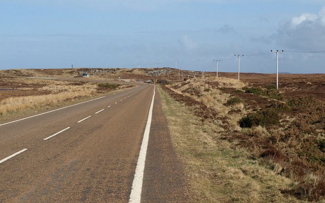
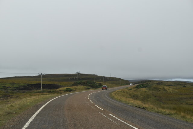
Downs, Moorland in Sutherland
Scotland
Dail a' Bhaite
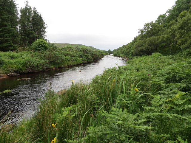
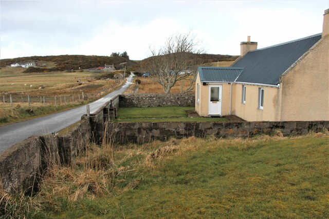
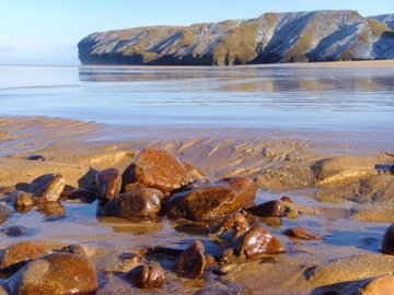
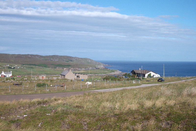
Dail a' Bhaite is a stunning area located in Sutherland, Scotland. It is known for its picturesque downs and moorlands that stretch for miles, offering breathtaking views of the rugged Scottish landscape. The name "Dail a' Bhaite" translates to "Valley of the Bothy" in English, which accurately describes the natural setting of this region.
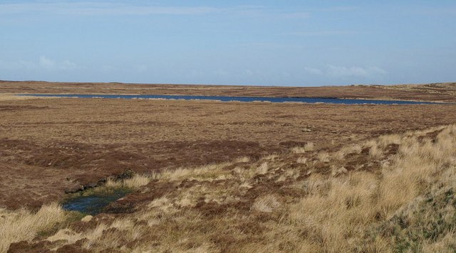
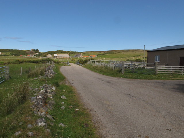
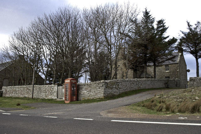
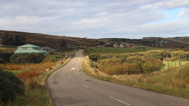
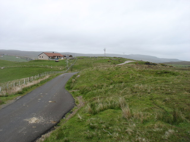
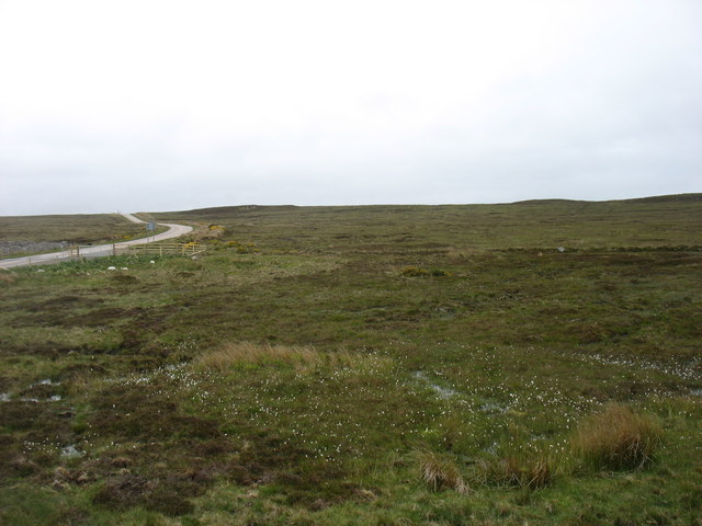
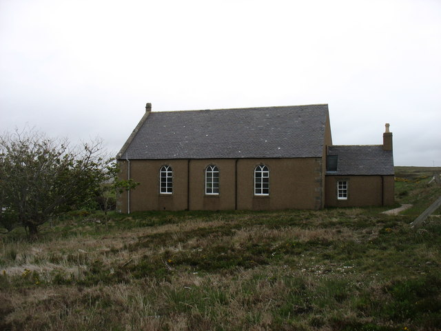
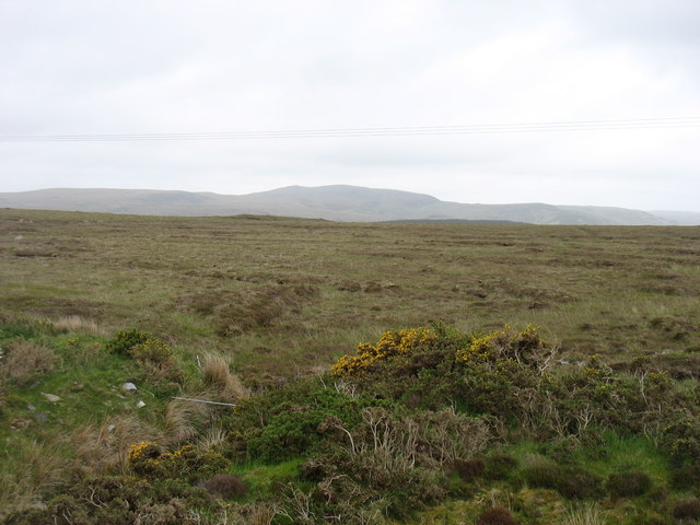
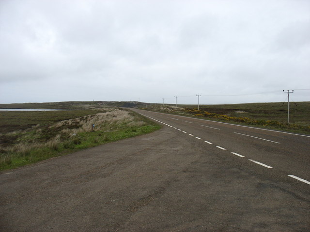
The area is characterized by its rolling hills covered in heather and grass, interspersed with small lochs and streams. The landscape is dotted with scattered cottages, adding to the charm and beauty of the surroundings. The downs and moorlands are home to a variety of wildlife, including red deer, birds of prey, and small mammals, making it a haven for nature enthusiasts and photographers.
Visitors to Dail a' Bhaite can enjoy long walks or hikes through the downs, immersing themselves in the tranquility and serenity of the area. The vast open spaces and unspoiled natural beauty make it an ideal destination for those seeking peace and solitude. The changing colors of the heather, from vibrant purples in the summer to earthy browns in the winter, provide a captivating experience throughout the year.
The climate in Dail a' Bhaite is typically cool and temperate, with rainfall being a common occurrence. It is advisable to come prepared with appropriate clothing and footwear to fully enjoy the outdoor activities this region has to offer. Overall, Dail a' Bhaite is a hidden gem in Sutherland, offering stunning downs and moorlands that showcase the raw beauty of the Scottish landscape.
If you have any feedback on the listing, please let us know in the comments section below.
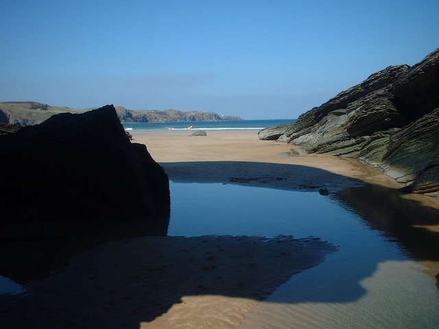
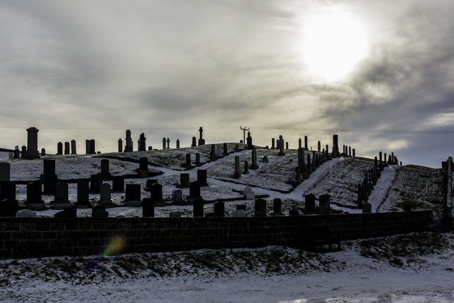
Dail a' Bhaite Images
Images are sourced within 2km of 58.552319/-4.0030128 or Grid Reference NC8364. Thanks to Geograph Open Source API. All images are credited.
Dail a' Bhaite is located at Grid Ref: NC8364 (Lat: 58.552319, Lng: -4.0030128)
Unitary Authority: Highland
Police Authority: Highlands and Islands
What 3 Words
///effort.husband.witty. Near Reay, Highland
Nearby Locations
Related Wikis
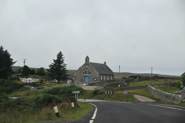
Strathy
Strathy (from Scottish Gaelic Srathaidh 'place of the strath') is a scattered community in Sutherland in the Scottish Highlands. The settlement emerged...
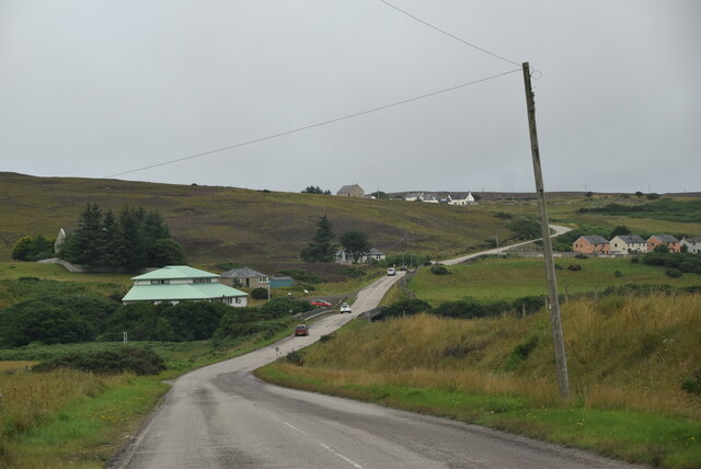
Lednagullin
Lednagullin is a village on the south east shore of Armadale Bay in Sutherland, Scottish Highlands and is in the Scottish council area of Highland....

Aultiphurst
Aultiphurst (Scottish Gaelic: Allt a' Phuirt), in Strathy, Sutherland, is a village in the Scottish HighlandsThe name Aultiphurst is a misspelling of Allt...
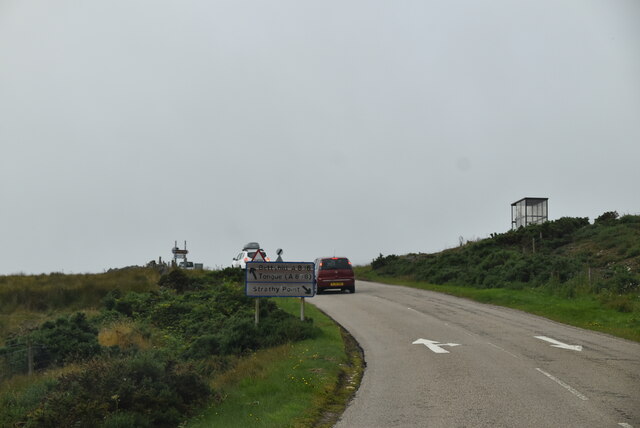
Totegan
Totegan is a hamlet in Sutherland, Scotland and is one of the most northerly settlements in mainland Scotland. The nearest main road to the hamlet is the...
Nearby Amenities
Located within 500m of 58.552319,-4.0030128Have you been to Dail a' Bhaite?
Leave your review of Dail a' Bhaite below (or comments, questions and feedback).