North Common
Downs, Moorland in Somerset Somerset West and Taunton
England
North Common
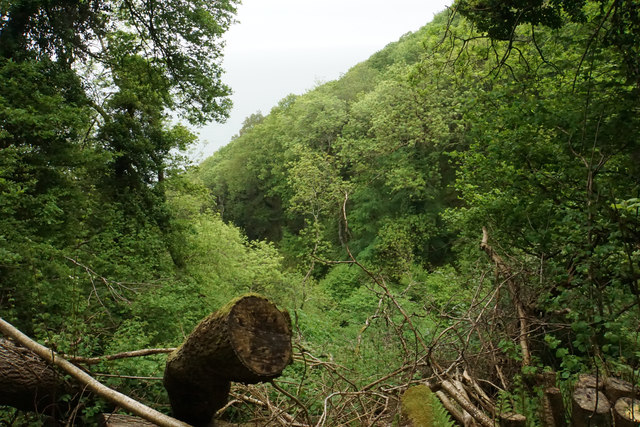
North Common is a small village located in the county of Somerset, England. Situated on the northern edge of the Somerset Levels, it is surrounded by picturesque countryside, characterized by rolling hills and lush greenery. The village is set in an area known as the "Downs, Moorland," which is renowned for its natural beauty and diverse wildlife.
The village itself is compact and charming, with a population of around 500 residents. It boasts a range of amenities, including a village hall, a primary school, and a local pub, providing a sense of community for its inhabitants. The architecture predominantly consists of traditional stone cottages, adding to the village's idyllic charm.
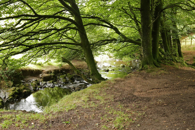
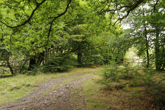
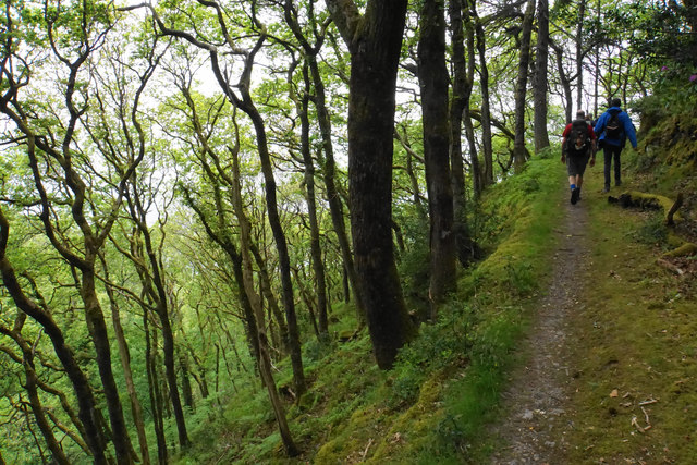
North Common is ideally located for those seeking outdoor pursuits, with numerous walking and cycling trails crisscrossing the surrounding countryside. The area is also home to several nature reserves, providing ample opportunities for birdwatching and observing the local flora and fauna.
In addition to its natural beauty, North Common benefits from its proximity to larger towns and cities. The bustling market town of Glastonbury is just a short drive away, offering a range of shops, restaurants, and cultural attractions. The city of Bristol is also within easy reach, providing residents with access to a wider range of amenities and entertainment options.
Overall, North Common is a peaceful and picturesque village, offering a tranquil rural lifestyle combined with convenient access to nearby towns and cities. Its natural beauty and community spirit make it an attractive place to live or visit for nature enthusiasts and those seeking a slower pace of life.
If you have any feedback on the listing, please let us know in the comments section below.
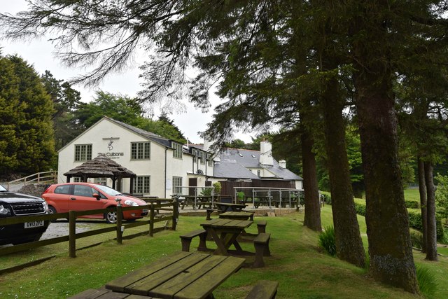
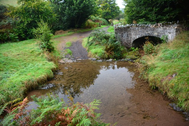
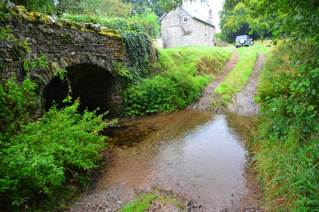
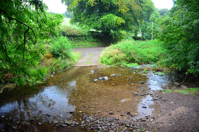
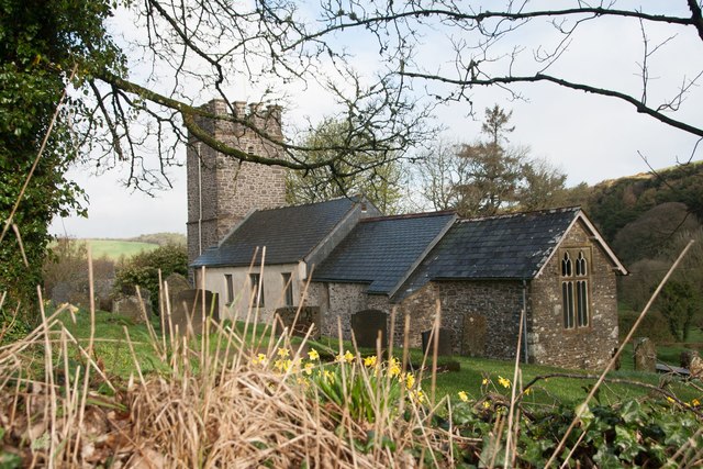
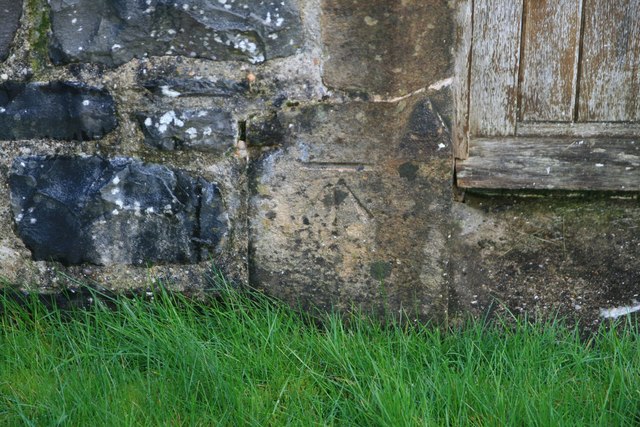
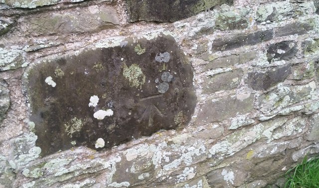
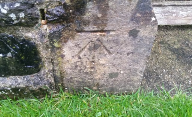
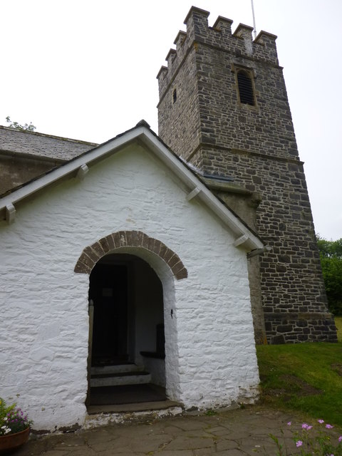
North Common Images
Images are sourced within 2km of 51.210011/-3.6964603 or Grid Reference SS8147. Thanks to Geograph Open Source API. All images are credited.
North Common is located at Grid Ref: SS8147 (Lat: 51.210011, Lng: -3.6964603)
Administrative County: Somerset
District: Somerset West and Taunton
Police Authority: Avon and Somerset
What 3 Words
///pounce.rooms.tadpole. Near Porlock, Somerset
Nearby Locations
Related Wikis

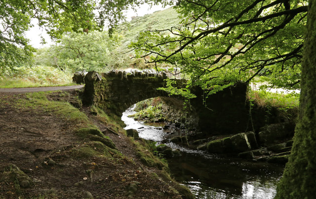
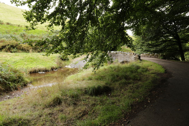
Robber's Bridge
Robber's Bridge, or Robbers Bridge, is an old masonry arch bridge in the royal forest of Exmoor near Doone Valley, carrying the minor road from Porlock...

Church of St Mary, Oare
The Anglican Church of St Mary in Oare, Somerset, England, was built in the 15th century. It is a Grade II* listed building. == History == The nave and...
Oare, Somerset
Oare is a village and civil parish on Oare Water on Exmoor in the Somerset West and Taunton district of Somerset, England. It is located 6 miles (10 km...
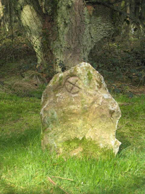
Culbone Stone
The Culbone Stone, an early mediaeval standing stone, is close to Culbone in the English county of Somerset. The stone is made from Hangman grit, a local...
Have you been to North Common?
Leave your review of North Common below (or comments, questions and feedback).