Hollow Combe

Valley in Somerset Somerset West and Taunton

England

Hollow Combe

Left to Robbers Bridge; Right to Malmsmead
Left to Robbers Bridge; Right to Malmsmead Credit: Peter Turner

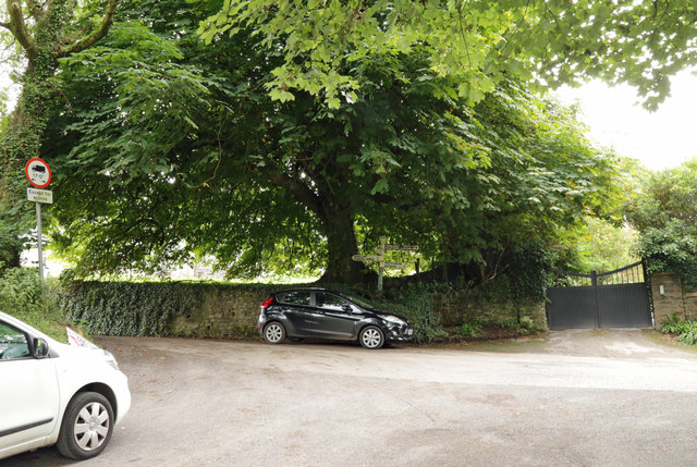
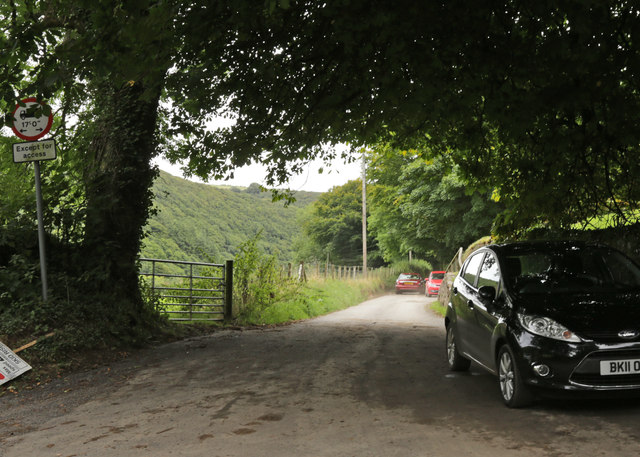
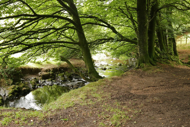
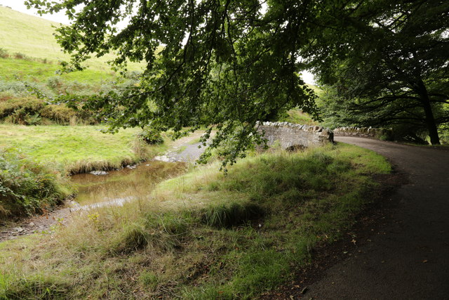
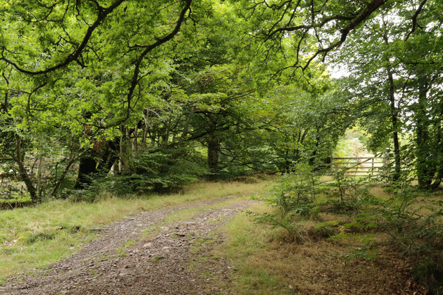
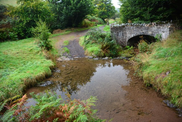
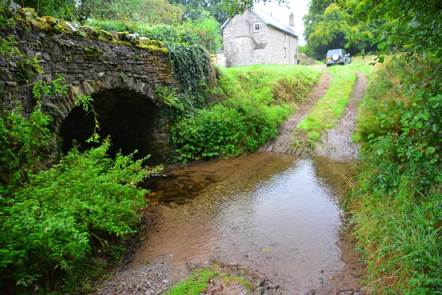
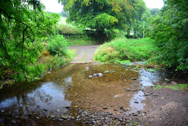
Hollow Combe, located in the county of Somerset, England, is a picturesque valley nestled amidst the rolling hills of the region. The valley is known for its stunning natural beauty, characterized by lush green meadows, charming stone houses, and meandering streams that add to its idyllic charm.

The village of Hollow Combe itself is a small and tight-knit community, with a population of around 300 residents. The village is steeped in history, with evidence of human habitation dating back to the Bronze Age. The area has also been influenced by Roman and Saxon settlements, leaving behind remnants of their presence in the form of ruins and artifacts.

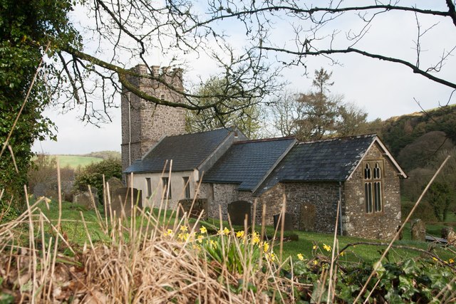
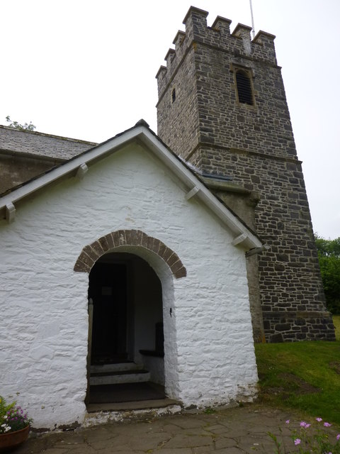
One of the standout features of Hollow Combe is its medieval church, St. Mary's, which stands proudly at the heart of the village. This beautiful and well-preserved church is a testament to the village's rich history and serves as a focal point for community gatherings and religious ceremonies.

The surrounding countryside offers ample opportunities for outdoor activities, such as hiking and cycling, with numerous scenic trails and paths that wind through the valley and surrounding hills. The valley is also home to a diverse range of wildlife, with sightings of deer, foxes, and various bird species being common.

In terms of amenities, Hollow Combe boasts a cozy pub, The Hollow Inn, which is a popular meeting spot for locals and visitors alike. Additionally, the village has a small primary school, a village hall, and a few local shops that cater to the needs of the community.

Overall, Hollow Combe is a tranquil and picturesque valley, offering a peaceful retreat for those seeking to escape the hustle and bustle of city life and immerse themselves in the natural beauty and rich history of Somerset.

If you have any feedback on the listing, please let us know in the comments section below.
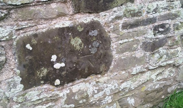
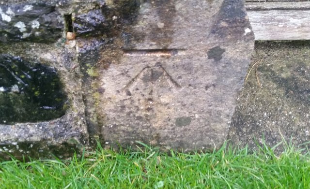
Hollow Combe Images

Images are sourced within 2km of 51.21192/-3.7043478 or Grid Reference SS8147. Thanks to Geograph Open Source API. All images are credited.

Left to Robbers Bridge; Right to Malmsmead
This way to Robbers Bridge
Oareford Farm over the bridge
Robbers Bridge
Robbers Bridge
Downstream at Robbers Bridge
Robbers Bridge and ford
The track up Lillycombe
Robber's Bridge Ford This ford on Weir Water is found beside Robber's Bridge.
Robber's Bridge Ford
This ford on Weir Water is found beside Robber's Bridge.
Oareford Ford This ford is found at Oareford a short distance from Robber's Bridge Ford.
Oareford Ford
This ford is found at Oareford a short distance from Robber's Bridge Ford.
Oareford Ford This is a second ford at Oareford found beside Oareford Farm.
Oareford Ford
This is a second ford at Oareford found beside Oareford Farm.
St Mary's Church, Oare The church where the fictional character Lorna Doone was shot.
St Mary's Church, Oare
The church where the fictional character Lorna Doone was shot.
Benchmark on St Mary's Church, Oare Ordnance Survey benchmark, described on database at <span class="nowrap"><a title="http://www.bench-marks.org.uk/bm83308" rel="nofollow ugc noopener" href="http://www.bench-marks.org.uk/bm83308">Link</a><img style="margin-left:2px;" alt="External link" title="External link - shift click to open in new window" src="https://s1.geograph.org.uk/img/external.png" width="10" height="10"/></span>. See also <a href="https://www.geograph.org.uk/photo/5339861">SS8047 : St Mary's Church, Oare</a>.
Benchmark on St Mary's Church, Oare
Ordnance Survey benchmark, described on database at LinkExternal link. See also SS8047 : St Mary's Church, Oare.
Ordnance Survey Cut Mark This OS cut mark can be found on the north face of The Cottage. It marks a point 266.753m above mean sea level.
Ordnance Survey Cut Mark
This OS cut mark can be found on the north face of The Cottage. It marks a point 266.753m above mean sea level.
Ordnance Survey Cut Mark This OS cut mark can be found on the west face of St Mary's Church. It marks a point 247.878m above mean sea level.
Ordnance Survey Cut Mark
This OS cut mark can be found on the west face of St Mary's Church. It marks a point 247.878m above mean sea level.
Church of St Mary, Oare, W. Somerset Oare is off the beaten track, but attracts visitors due to the connection with 'Lorna Doone', and Jan Ridd's marriage.
The church is a Grade II*, and dates back to the C15. The tower was rebuilt in the C19 from local stone and coarse rubble. Lighting is by oil lamps even today.
Church of St Mary, Oare, W. Somerset
Oare is off the beaten track, but attracts visitors due to the connection with 'Lorna Doone', and Jan Ridd's marriage. The church is a Grade II*, and dates back to the C15. The tower was rebuilt in the C19 from local stone and coarse rubble. Lighting is by oil lamps even today.
Crossing Broomstreet Combe The South West Coast Path is passing through Embelle Wood. The forest slopes down to the sea to the left, but you cannot see the sea.
Crossing Broomstreet Combe
The South West Coast Path is passing through Embelle Wood. The forest slopes down to the sea to the left, but you cannot see the sea.
Tree trunks and branches The South West Coast Path passing through Embelle Wood.
Tree trunks and branches
The South West Coast Path passing through Embelle Wood.
Farm track above Culbone Wood Part of the South West Coast Path about to enter Holmer's Combe, though the view ahead is reduced by mist.
Farm track above Culbone Wood
Part of the South West Coast Path about to enter Holmer's Combe, though the view ahead is reduced by mist.
Show me another place!

Hollow Combe is located at Grid Ref: SS8147 (Lat: 51.21192, Lng: -3.7043478)

Administrative County: Somerset

District: Somerset West and Taunton

Police Authority: Avon and Somerset

What 3 Words

///gullible.chats.tightest. Near Porlock, Somerset

Nearby Locations

North Common Hollow Combe

Related Wikis

Church of St Mary, Oare

The Anglican Church of St Mary in Oare, Somerset, England, was built in the 15th century. It is a Grade II* listed building. == History == The nave and...
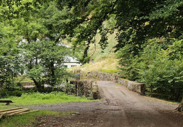
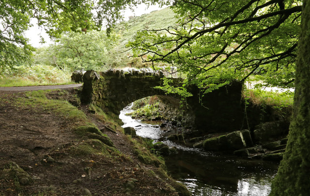
Robber's Bridge

Robber's Bridge, or Robbers Bridge, is an old masonry arch bridge in the royal forest of Exmoor near Doone Valley, carrying the minor road from Porlock...

Oare, Somerset

Oare is a village and civil parish on Oare Water on Exmoor in the Somerset West and Taunton district of Somerset, England. It is located 6 miles (10 km...

Oare Water

Oare Water passes through the village of Oare, on Exmoor in Somerset, England. It joins Badgworthy Water before flowing to Watersmeet and the Bristol Channel...

Have you been to Hollow Combe?

Leave your review of Hollow Combe below (or comments, questions and feedback).