Cefn Llyn

Downs, Moorland in Merionethshire

Wales

Cefn Llyn

Pont dros Afon Taihirion / Bridge over Afon Taihirion
Pont dros Afon Taihirion / Bridge over Afon Taihirion Credit: Ceri Thomas

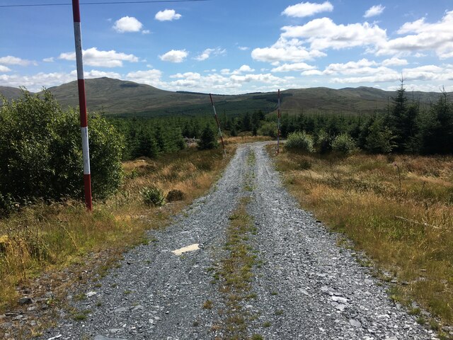
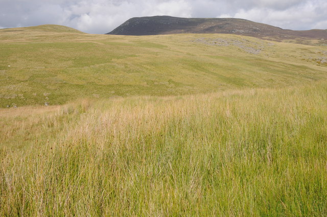
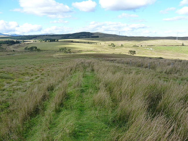
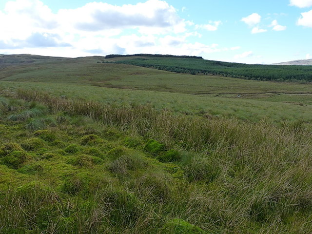
Cefn Llyn is a region located in the county of Merionethshire, Wales. Situated in the northern part of the county, it is characterized by its stunning downs and moorland landscapes. The area covers a vast expanse, offering visitors and residents alike a diverse range of natural beauty to explore.

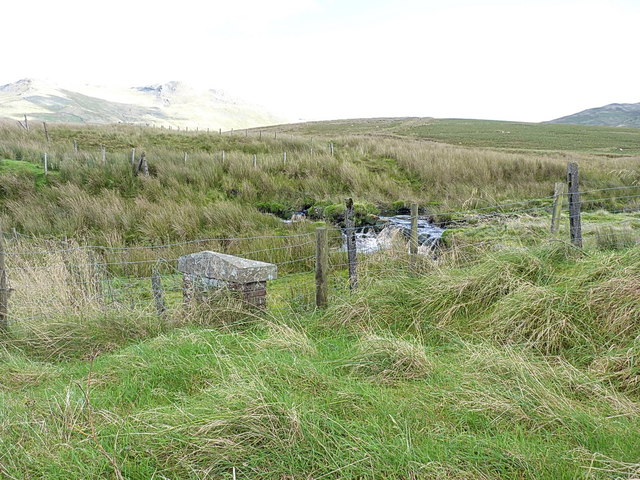
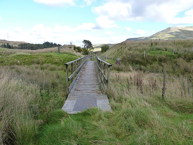
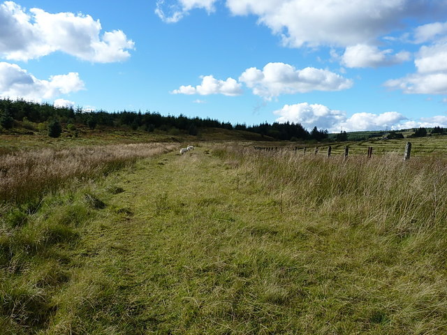
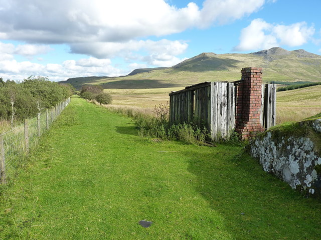
The downs of Cefn Llyn are known for their rolling hills and open grassland. The landscape is often dotted with sheep grazing peacefully, adding to the picturesque scenery. The downs provide ample opportunities for outdoor activities such as hiking, walking, and horseback riding. Visitors can enjoy panoramic views of the surrounding countryside and take in the fresh air and tranquility that the area offers.

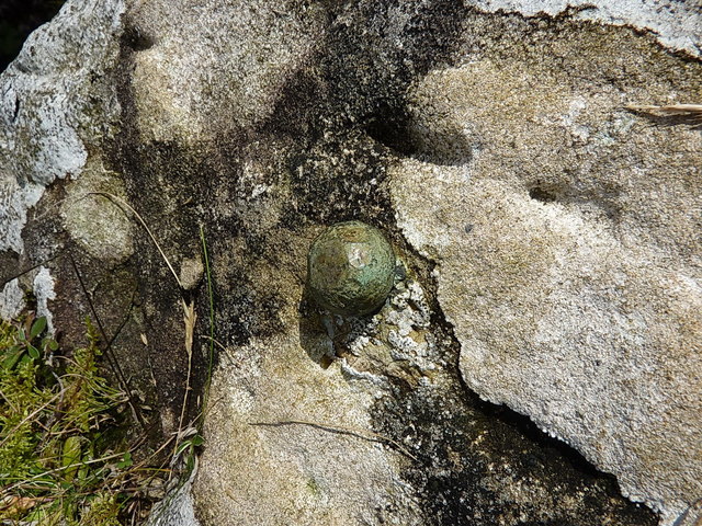
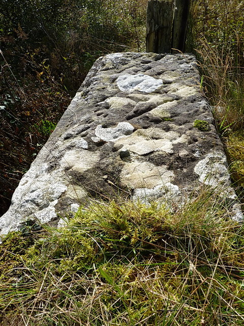
In addition to the downs, Cefn Llyn also boasts extensive moorland. Moorland landscapes are characterized by their vast expanses of heather, peat bogs, and rocky outcrops. This unique environment is home to a variety of plant and animal species, making it an important habitat for biodiversity. Birdwatchers will be delighted by the opportunity to spot rare and protected species that call the moorland of Cefn Llyn their home.

Cefn Llyn is a place where nature lovers can truly immerse themselves in the beauty of the Welsh countryside. With its downs and moorland, this region offers a diverse range of landscapes that are both visually stunning and ecologically significant. Whether one seeks adventure or seeks solace, Cefn Llyn is sure to leave a lasting impression.

If you have any feedback on the listing, please let us know in the comments section below.
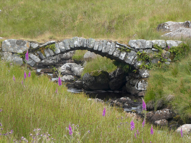
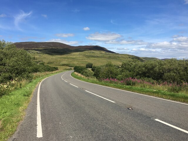
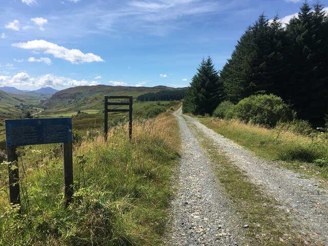
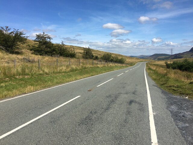
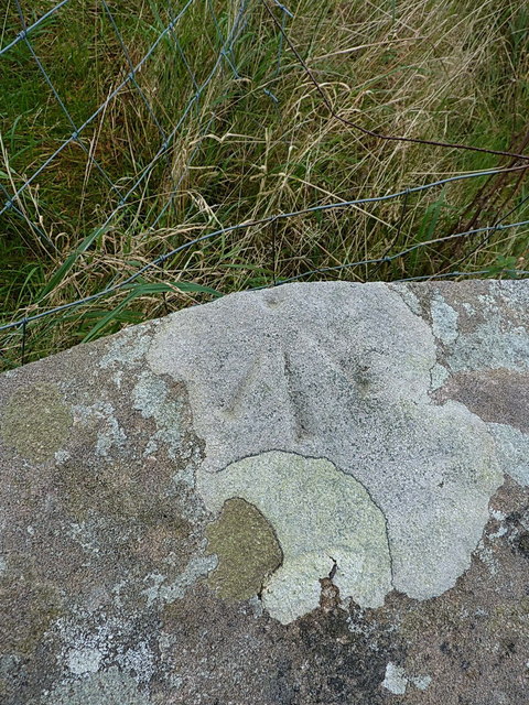
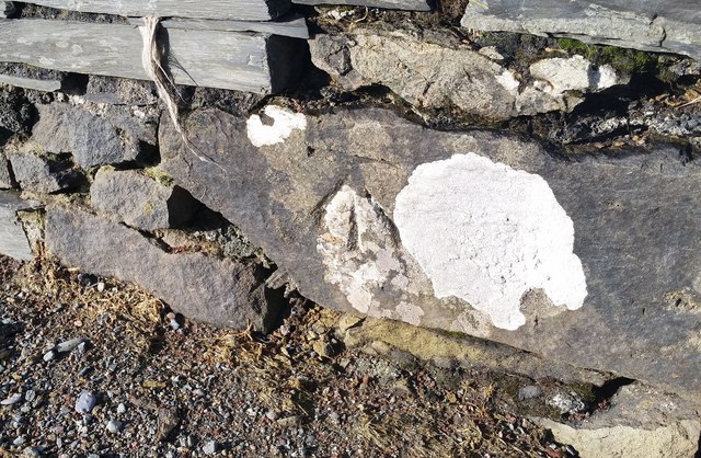
Cefn Llyn Images

Images are sourced within 2km of 52.930947/-3.7973925 or Grid Reference SH7938. Thanks to Geograph Open Source API. All images are credited.

Pont dros Afon Taihirion / Bridge over Afon Taihirion
A4212 near Nant Ddu
A4212 near Nant Ddu
Gravel track following route of disused railway line near Llyn Tryweryn
B4391 near Pont Nant-y-Lladron
Forestry track near Pont Nant-y-Llandron
Mochowgryn and Arenig Fach Mochowgryn and Arenig Fach viewed from across the Afon Taihirion.
Mochowgryn and Arenig Fach
Mochowgryn and Arenig Fach viewed from across the Afon Taihirion.
Old field boundary and modern fence A little way above the Afon Treweryn and the disused railway line. The modern fence lies a few yards to the east of an older linear feature in the field, which I took to be a former (and long collapsed) boundary wall or fence-bottom.
Old field boundary and modern fence
A little way above the Afon Treweryn and the disused railway line. The modern fence lies a few yards to the east of an older linear feature in the field, which I took to be a former (and long collapsed) boundary wall or fence-bottom.
Over the Nant y Gist-Faen to the Penllyn Forest Rough grazing land in the valley of the Afon Treweryn.
Over the Nant y Gist-Faen to the Penllyn Forest
Rough grazing land in the valley of the Afon Treweryn.
OS pivot mark - Nant Ddu, railway bridge parapet wall An OS pivot mark on the coping stone of a now-disused railway bridge over the Afon Treweryn; originally levelled in 1942 at 384.636m above Ordnance Datum Newlyn.
OS pivot mark - Nant Ddu, railway bridge parapet wall
An OS pivot mark on the coping stone of a now-disused railway bridge over the Afon Treweryn; originally levelled in 1942 at 384.636m above Ordnance Datum Newlyn.
Former railway bridge parapet over the Afon Treweryn This is the location of the pivot mark in <a href="https://www.geograph.org.uk/photo/5179809">SH7938 : OS pivot mark - Nant Ddu, railway bridge parapet wall</a> with a view up the hill towards Arenig Fawr above.
Former railway bridge parapet over the Afon Treweryn
This is the location of the pivot mark in SH7938 : OS pivot mark - Nant Ddu, railway bridge parapet wall with a view up the hill towards Arenig Fawr above.
Footbridge over the Afon Treweryn Much of the disused GWR Bala to Blaenau Ffestiniog railway is open for walking or cycling, and many of the demolished bridges have been replaced by structures such as this one. It certainly does the job, and avoids paddling through the river.
Footbridge over the Afon Treweryn
Much of the disused GWR Bala to Blaenau Ffestiniog railway is open for walking or cycling, and many of the demolished bridges have been replaced by structures such as this one. It certainly does the job, and avoids paddling through the river.
West along the old railway line The ex-GWR Bala to Blaenau Ffestiniog railway, which was closed in the early 1960s. This section makes for a pleasant walk.
West along the old railway line
The ex-GWR Bala to Blaenau Ffestiniog railway, which was closed in the early 1960s. This section makes for a pleasant walk.
OS bolt - Cefn Llyn An OSBM copper or brass bolt set into the coping stone of a disused bridge at the SW side of the former railway line; it was levelled in 1942 at 388.398m above Ordnance Datum Newlyn.
OS bolt - Cefn Llyn
An OSBM copper or brass bolt set into the coping stone of a disused bridge at the SW side of the former railway line; it was levelled in 1942 at 388.398m above Ordnance Datum Newlyn.
Parapet wall of former bridge In mid-shot, this coping stone of the bridge contains the <a href="https://www.geograph.org.uk/photo/5179832">SH7938 : OS bolt - Cefn Llyn</a>
Parapet wall of former bridge
In mid-shot, this coping stone of the bridge contains the SH7938 : OS bolt - Cefn Llyn
Disused platers' hut beside the railway line Long fallen into both disuse and ruin, the only semi-permanent part of this construction is the brick chimney and fireplace, the rest being made of old sleepers.
Disused platers' hut beside the railway line
Long fallen into both disuse and ruin, the only semi-permanent part of this construction is the brick chimney and fireplace, the rest being made of old sleepers.
Probable accommodation bridge under the disused railway line A small bridge under the line, very boggy in the base; it's not clear whether it's taking drainage across the line, or is a genuine accommodation bridge for the hill farm.
Probable accommodation bridge under the disused railway line
A small bridge under the line, very boggy in the base; it's not clear whether it's taking drainage across the line, or is a genuine accommodation bridge for the hill farm.
Ordnance Survey Cut Mark This OS cut mark can be found on the north parapet of the bridge. It marks a point 414.649m above mean sea level.
Ordnance Survey Cut Mark
This OS cut mark can be found on the north parapet of the bridge. It marks a point 414.649m above mean sea level.
Ordnance Survey Cut Mark This OS cut mark can be found on the south parapet of the bridge. It marks a point 423.907m above mean sea level.
Ordnance Survey Cut Mark
This OS cut mark can be found on the south parapet of the bridge. It marks a point 423.907m above mean sea level.
Show me another place!

Cefn Llyn is located at Grid Ref: SH7938 (Lat: 52.930947, Lng: -3.7973925)

Unitary Authority: Gwynedd

Police Authority: North Wales

What 3 Words

///downs.stopped.bunny. Near Trawsfynydd, Gwynedd

Nearby Locations

Cefn Llyn

Related Wikis

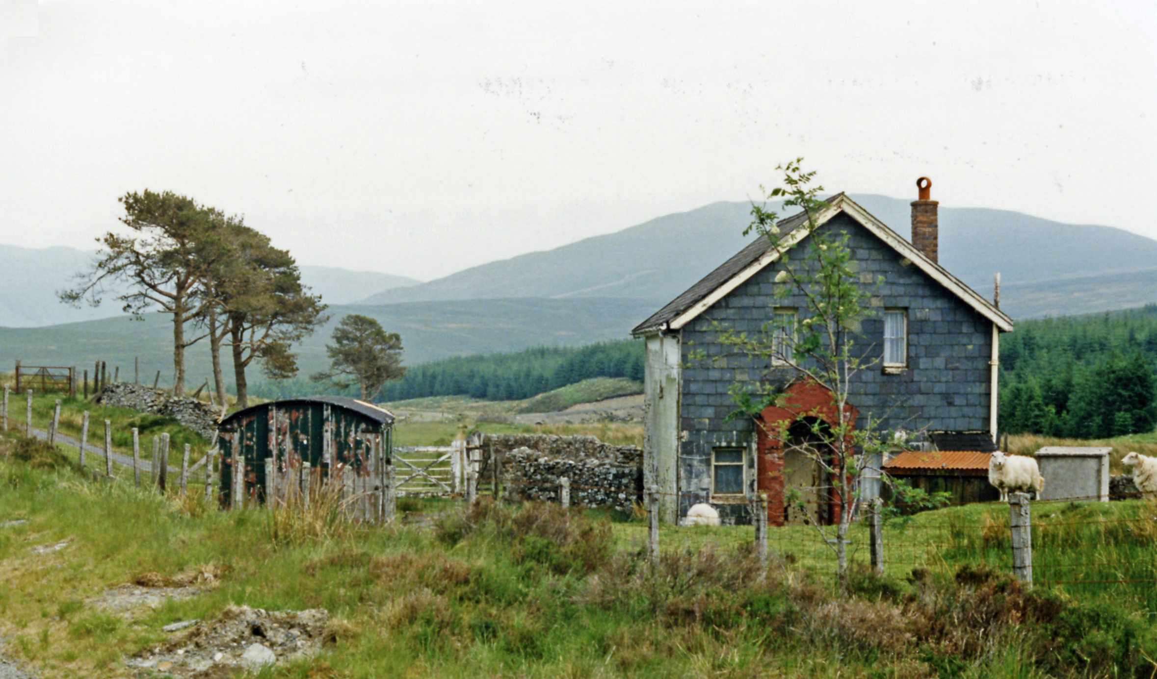
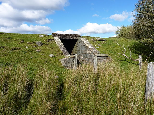
Cwm Prysor Halt railway station

Cwm Prysor Halt (named simply Cwm Prysor until 1953) was a railway station which served the remote rural area of Cwm Prysor, east of Trawsfynydd, Gwynedd...
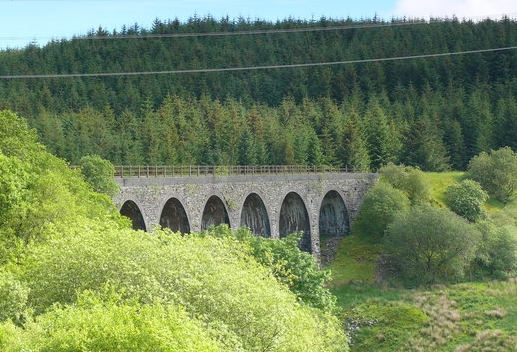
Cwm Prysor Viaduct

Cwm Prysor Viaduct, which is occasionally referred to as Blaen-y-Cwm Viaduct, is a railway viaduct which crosses the Afon Prysor in thinly populated uplands...

Moel Llyfnant

Moel Llyfnant is a mountain in the southern portion of the Snowdonia National Park in Gwynedd, Wales. It is a peak in the Arenig mountain range. It lies...

Foel Boeth

Foel Boeth is the twin top of Gallt y Daren in the southern half of the Snowdonia National Park in Gwynedd, North Wales, and forms part of the Arenig mountain...

Nearby Amenities

Located within 500m of 52.930947,-3.7973925
Source: npe
Lat/Long: 52.9312024/-3.8038221
Source: npe
Lat/Long: 52.9313565/-3.8026908
Source: npe
Lat/Long: 52.9304928/-3.8012032
Source: npe
Lat/Long: 52.9297075/-3.8011703
Source: npe
Lat/Long: 52.9286528/-3.7999104
Created By: POI Editor
Source: npe
Lat/Long: 52.9290329/-3.8021077
Source: npe
Lat/Long: 52.928438/-3.7990704
Power: tower
Lat/Long: 52.9326939/-3.8025168
Power: tower
Lat/Long: 52.9323124/-3.7928786
Power: tower
Lat/Long: 52.9324467/-3.7964705
Cwm Prysor
Abandoned Railway: station
Railway: site
Lat/Long: 52.9288807/-3.7984203
The data included in this document is from www.openstreetmap.org. The data is made available under ODbL.

Have you been to Cefn Llyn?

Leave your review of Cefn Llyn below (or comments, questions and feedback).