West Yeo Moor

Downs, Moorland in Devon North Devon

England

West Yeo Moor

Witheridge : Road A small road in the countryside.
Witheridge : Road Credit: Lewis Clarke

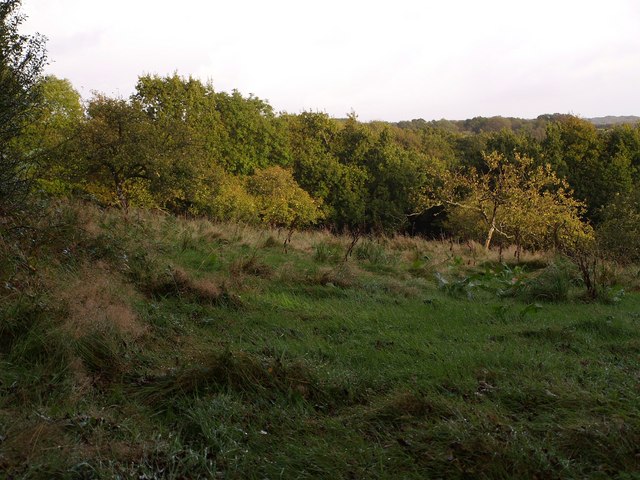
West Yeo Moor is a captivating area located in the county of Devon, England. Nestled amidst the picturesque landscape of the Dartmoor National Park, it is a region of immense natural beauty and enchantment. The moorland stretches across an expansive area, offering breathtaking views of rolling hills, rocky tors, and vast open spaces.

This tranquil haven is home to an abundance of wildlife, including rare bird species, wild ponies, and roaming deer. The moorland is adorned with vibrant heather and gorse, painting the landscape with hues of purple and yellow during the summer months. In addition to its natural splendor, West Yeo Moor features several ancient stone circles, burial mounds, and prehistoric settlements, adding an air of mystery and history to the area.

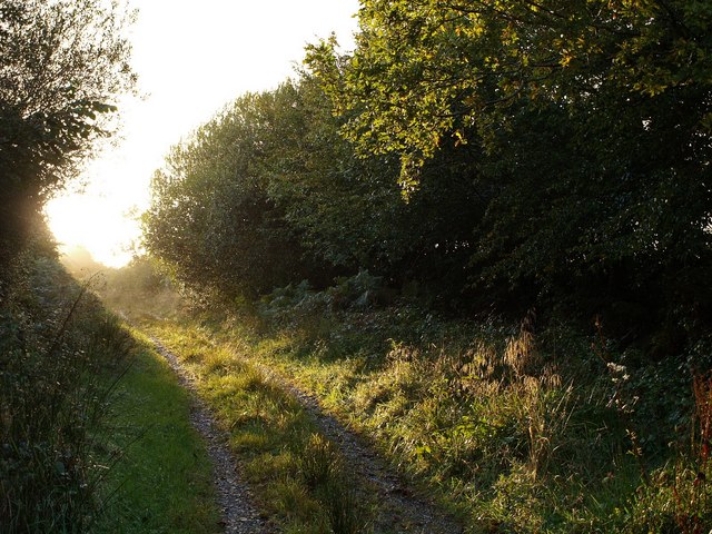
The region attracts outdoor enthusiasts, hikers, and nature lovers who can explore the various walking trails and footpaths that crisscross the moor. The challenging terrain offers a sense of adventure and discovery, with hidden valleys, babbling brooks, and trickling waterfalls waiting to be explored.

West Yeo Moor is also renowned for its rich biodiversity and conservation efforts. The area is carefully managed to preserve its unique flora and fauna, with ongoing initiatives to protect the delicate ecosystem. Visitors can learn about the local wildlife through guided tours and educational programs, gaining a deeper understanding of the importance of preserving this remarkable landscape.

With its stunning vistas, ancient history, and abundant wildlife, West Yeo Moor is a truly captivating destination, offering a peaceful escape into the heart of Devon's natural wonders.

If you have any feedback on the listing, please let us know in the comments section below.

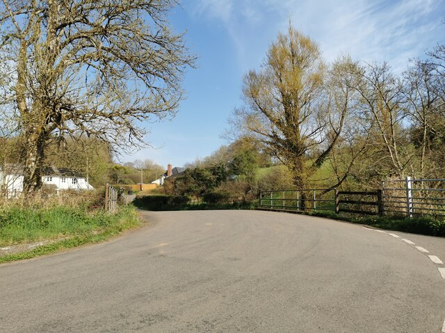
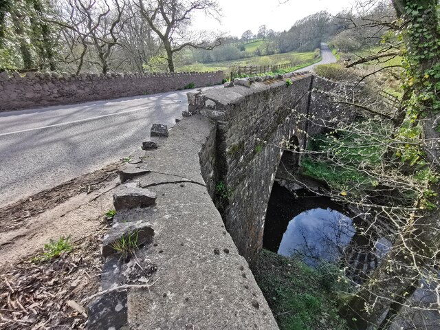
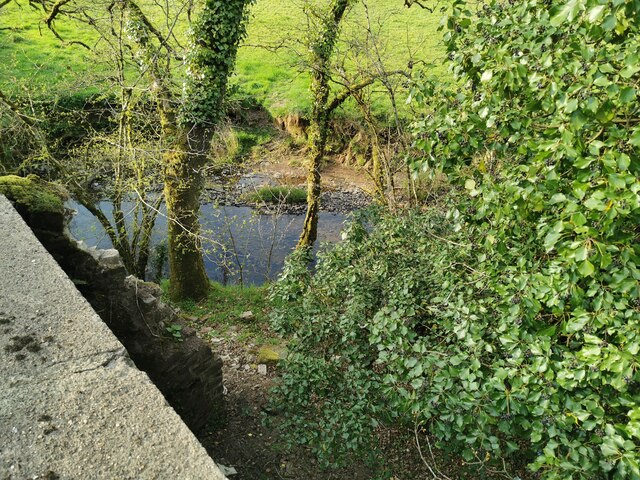
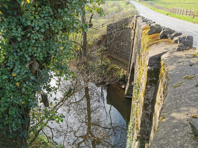
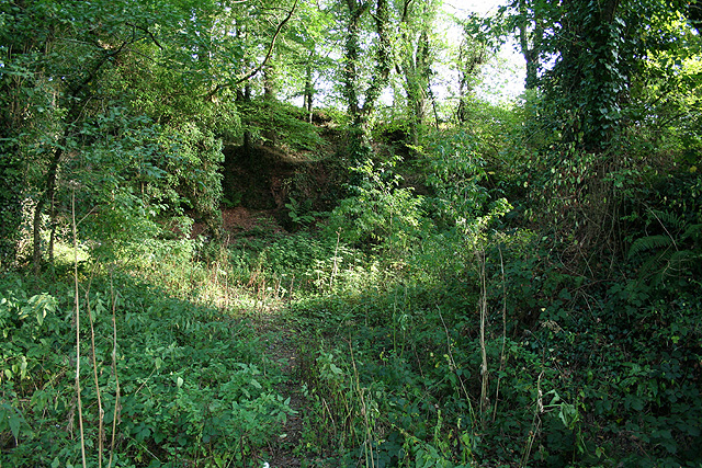
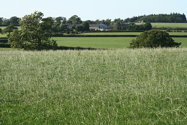
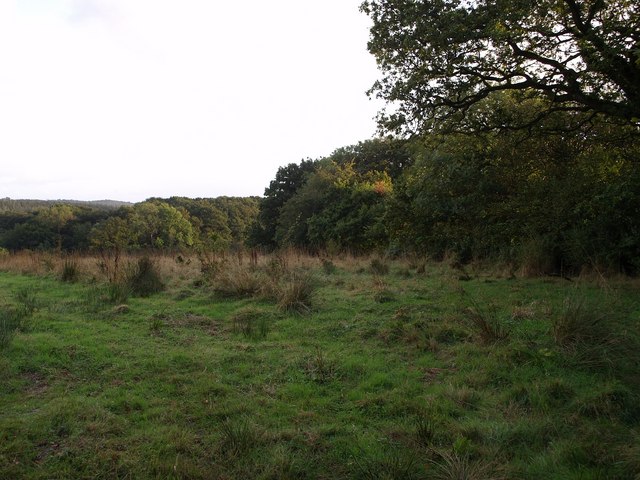
West Yeo Moor Images

Images are sourced within 2km of 50.936848/-3.7199447 or Grid Reference SS7916. Thanks to Geograph Open Source API. All images are credited.

Witheridge : Road A small road in the countryside.
Witheridge : Road
A small road in the countryside.
Witheridge : New Bridge New Bridge and the B3137 over the Little Dart River.
Witheridge : New Bridge
New Bridge and the B3137 over the Little Dart River.
Witheridge : Grassland Looking down off the B3171.
Witheridge : Grassland
Looking down off the B3171.
Witheridge : Little Dart River The river heads under New Bridge.
Witheridge : Little Dart River
The river heads under New Bridge.
Witheridge : Little Dart River The Litter Dart River at New Bridge.
Witheridge : Little Dart River
The Litter Dart River at New Bridge.
Witheridge: near Witheridge Mill A probable quarry site looking south-south-east. Seen from a public footpath; a second footpath promoted by DEFRA runs above the old quarry face. A private house now stands on the Witheridge Mill site. The lower footpath runs alongside the course of the mill leat, now dry
Witheridge: near Witheridge Mill
A probable quarry site looking south-south-east. Seen from a public footpath; a second footpath promoted by DEFRA runs above the old quarry face. A private house now stands on the Witheridge Mill site. The lower footpath runs alongside the course of the mill leat, now dry
Witheridge: towards Broadridge Farm Looking north-north-west
Witheridge: towards Broadridge Farm
Looking north-north-west
Field by Grendon Lane North Grendon Plantation is on the right. Taken from Grendon Lane, a green lane across the Sturcombe River valley.
Field by Grendon Lane
North Grendon Plantation is on the right. Taken from Grendon Lane, a green lane across the Sturcombe River valley.
Orchard at North Grendon An orchard beside the farm buildings at North Grendon, which no longer seem to be inhabited.
Orchard at North Grendon
An orchard beside the farm buildings at North Grendon, which no longer seem to be inhabited.
Grendon Lane A rather damp lane brightens up in some evening sunshine. This long track leads from the nearest public road at Crowdhole for almost a kilometre to reach North Grendon.
Grendon Lane
A rather damp lane brightens up in some evening sunshine. This long track leads from the nearest public road at Crowdhole for almost a kilometre to reach North Grendon.
Field beside Grendon Lane The lane runs behind the hedge on the left; <a href="https://www.geograph.org.uk/photo/570696">SS8017 : Grendon Lane</a> was taken in that section. Beyond, the land slopes down to the Sturcombe River.
Field beside Grendon Lane
The lane runs behind the hedge on the left; SS8017 : Grendon Lane was taken in that section. Beyond, the land slopes down to the Sturcombe River.
North Grendon It looks as though the buildings at North Grendon have become a subordinate part of the rather smarter-looking farm at South Grendon, which is in the background. This is the scene at the end of Grendon Lane.
North Grendon
It looks as though the buildings at North Grendon have become a subordinate part of the rather smarter-looking farm at South Grendon, which is in the background. This is the scene at the end of Grendon Lane.
Rose Ash: near Great Venhay The lane to the farm, out of shot to the right; it also serves as a footpath to Heath Farm and Harp’s Corner Cross. Looking west
Rose Ash: near Great Venhay
The lane to the farm, out of shot to the right; it also serves as a footpath to Heath Farm and Harp’s Corner Cross. Looking west
Witheridge: near Wheadon Cross Entrance to Wheadon Farm where en suite bed and breakfast is offered. Looking west-north-west
Witheridge: near Wheadon Cross
Entrance to Wheadon Farm where en suite bed and breakfast is offered. Looking west-north-west
Rose Ash: South Venhay Looking west by the lane from Venhay Cross
Rose Ash: South Venhay
Looking west by the lane from Venhay Cross
Witheridge: approaching West Yeo Moor Farm Looking north west. A farm shop here is open on Thursdays, Fridays and Saturdays between 10 and 6
Witheridge: approaching West Yeo Moor Farm
Looking north west. A farm shop here is open on Thursdays, Fridays and Saturdays between 10 and 6
Witheridge: by Dart Raffe Farm Looking south east over the Little Dart valley towards Witheridge. This lane appears to have been the old way from South Molton, since bypassed by a later turnpike route; this can be seen as a hedgerow climbing the far side of the valley on the right
Witheridge: by Dart Raffe Farm
Looking south east over the Little Dart valley towards Witheridge. This lane appears to have been the old way from South Molton, since bypassed by a later turnpike route; this can be seen as a hedgerow climbing the far side of the valley on the right
Witheridge: near New Bridge By the Witheridge – South Molton turnpike, or what is assumed to have been a road constructed in the turnpike era. Looking north across the Little Dart valley towards Dart Raffe Farm on the skyline, where the old road ran and survives as a lane
Witheridge: near New Bridge
By the Witheridge – South Molton turnpike, or what is assumed to have been a road constructed in the turnpike era. Looking north across the Little Dart valley towards Dart Raffe Farm on the skyline, where the old road ran and survives as a lane
Show me another place!

West Yeo Moor is located at Grid Ref: SS7916 (Lat: 50.936848, Lng: -3.7199447)

Administrative County: Devon

District: North Devon

Police Authority: Devon and Cornwall

What 3 Words

///query.remove.gadget. Near Witheridge, Devon

Related Wikis

Witheridge

Witheridge is a village and civil parish in the North Devon district of Devon, England. In 2001 the population of the parish was 1162, reducing slightly...

Witheridge F.C.

Witheridge Football Club is a football club based in the Devon village of Witheridge. They are currently members of the Devon & Exeter League Division...

East Worlington

East Worlington is a civil parish and hamlet in the North Devon administrative area, in the English county of Devon, England.In 2001, the village had 241...

Drayford

Drayford is a village in the English county of Devon, approximately 15 miles north west of Exeter. == External links == Media related to Drayford at Wikimedia...

Batsworthy

Batsworthy is a village in Devon, England. == References ==

Creacombe

Creacombe is a small village and former civil parish, now in the parish of Rackenford, in the North Devon district of Devon, England. Its nearest town...

Meshaw

Meshaw is a village and civil parish in the North Devon district of Devon, England. Its nearest town is South Molton, which lies approximately 5.9 miles...

Thelbridge

Thelbridge is a village and civil parish in Devon, England. It is 5 miles NE of Morchard Road railway station and 8½ NNW of Crediton.The local church,...

Have you been to West Yeo Moor?

Leave your review of West Yeo Moor below (or comments, questions and feedback).