Burcombe Moor

Downs, Moorland in Devon North Devon

England

Burcombe Moor

Meshaw : Country Lane A small lane heads through the countryside.
Meshaw : Country Lane Credit: Lewis Clarke

The requested URL returned error: 429 Too Many Requests

If you have any feedback on the listing, please let us know in the comments section below.

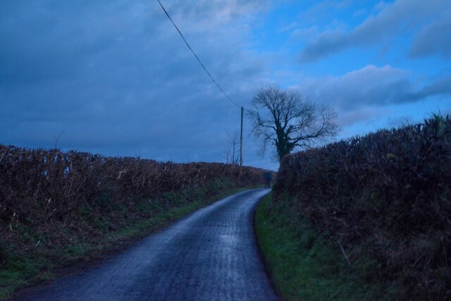
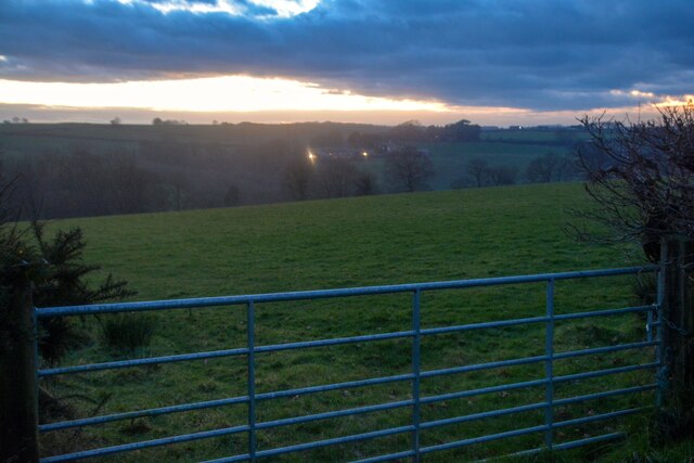
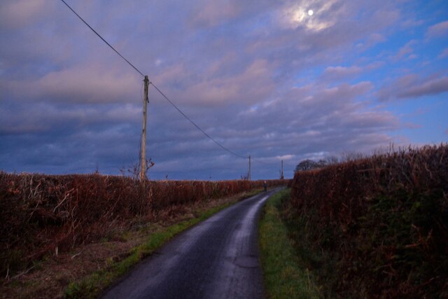
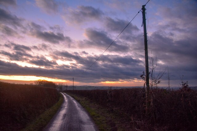
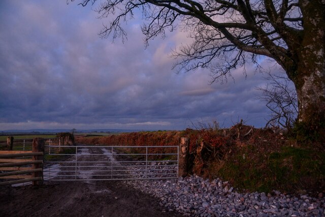
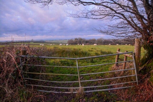
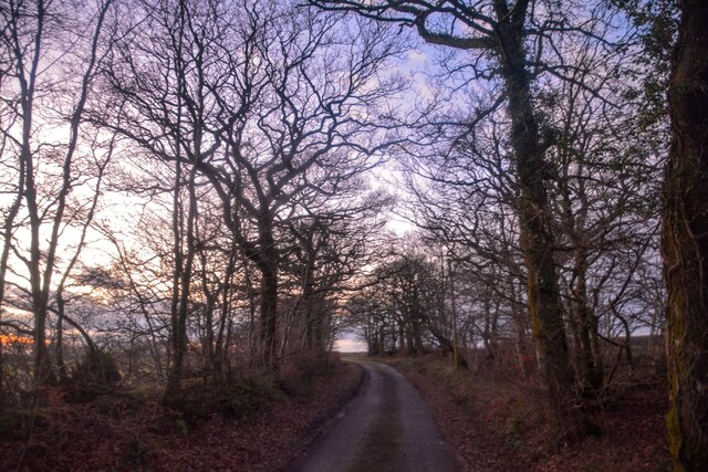
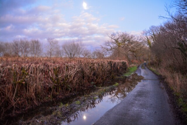
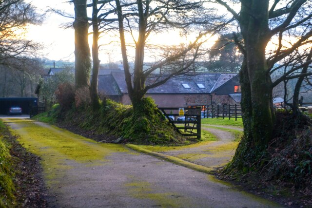
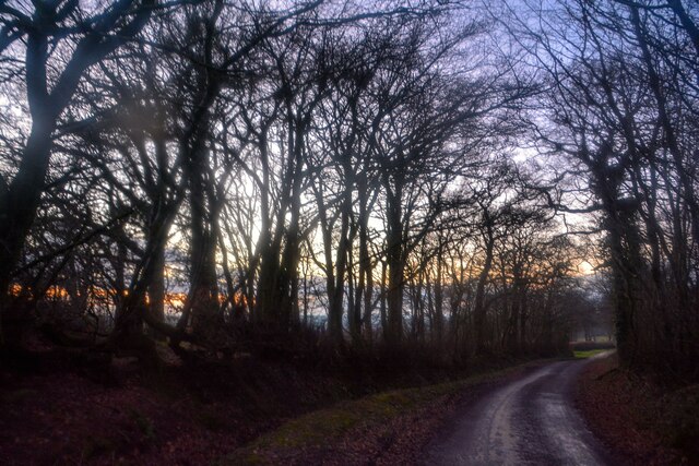
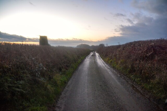
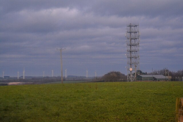
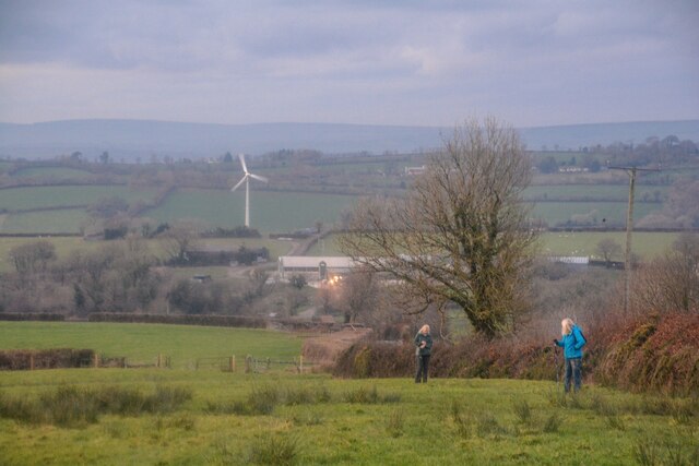
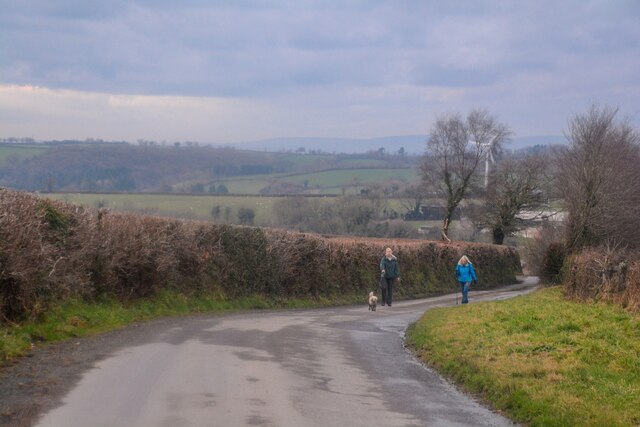
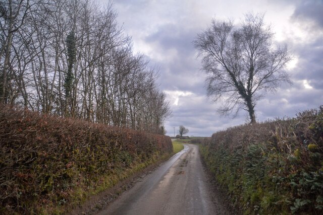
Burcombe Moor Images

Images are sourced within 2km of 50.962285/-3.7294 or Grid Reference SS7819. Thanks to Geograph Open Source API. All images are credited.

Meshaw : Country Lane A small lane heads through the countryside.
Meshaw : Country Lane
A small lane heads through the countryside.
Meshaw : Grassy Field & Gate Looking beyond the gate and into the field.
Meshaw : Grassy Field & Gate
Looking beyond the gate and into the field.
Meshaw : Country Lane A small lane heads through the countryside.
Meshaw : Country Lane
A small lane heads through the countryside.
Meshaw : Country Lane A small lane heads through the countryside.
Meshaw : Country Lane
A small lane heads through the countryside.
Meshaw : Track A track heads off from the road.
Meshaw : Track
A track heads off from the road.
Meshaw : Grassy Field & Gate Sheep are in the field.
Meshaw : Grassy Field & Gate
Sheep are in the field.
Meshaw : Track A track heading to Blacklands.
Meshaw : Track
A track heading to Blacklands.
Meshaw : Country Lane A small lane heads through the countryside.
Meshaw : Country Lane
A small lane heads through the countryside.
Meshaw : Country Lane A small lane heads through the countryside.
Meshaw : Country Lane
A small lane heads through the countryside.
Meshaw : East Whitestone Looking towards a house in the countryside.
Meshaw : East Whitestone
Looking towards a house in the countryside.
Rose Ash : Country Lane A small lane heads through the countryside.
Rose Ash : Country Lane
A small lane heads through the countryside.
Rose Ash : Country Lane A trig point can be seen on the left.
Rose Ash : Country Lane
A trig point can be seen on the left.
Rose Ash : Country Lane Near the junction of Harp's Corner Cross.
Rose Ash : Country Lane
Near the junction of Harp's Corner Cross.
Rose Ash : Country Lane A small lane at Harp's Corner Cross beyond the gate.
Rose Ash : Country Lane
A small lane at Harp's Corner Cross beyond the gate.
Rose Ash : Grassy Field A mast in the corner of the field.
Rose Ash : Grassy Field
A mast in the corner of the field.
Rose Ash : Grassy Field Looking across the countryside.
Rose Ash : Grassy Field
Looking across the countryside.
Rose Ash : Country Lane The road heads down the hill.
Rose Ash : Country Lane
The road heads down the hill.
Rose Ash : Country Lane The lane heads up the hill.
Rose Ash : Country Lane
The lane heads up the hill.
Show me another place!

Burcombe Moor is located at Grid Ref: SS7819 (Lat: 50.962285, Lng: -3.7294)

Administrative County: Devon

District: North Devon

Police Authority: Devon and Cornwall

What 3 Words

///surprised.nipping.explain. Near Witheridge, Devon

Nearby Locations

Venhay Down Burcombe Moor

Related Wikis

Rose Ash

Rose Ash, formerly Ralph-Esse, is a village and civil parish in North Devon district, Devon, England. In the 2011 census it was recorded as having a population...

Meshaw

Meshaw is a village and civil parish in the North Devon district of Devon, England. Its nearest town is South Molton, which lies approximately 5.9 miles...

Ash Mill

Ash Mill is a village in Devon, England.Ashmill was the site of Ashwater station on the former L.S.W.R. North Cornwall line which closed in the 1960s....

Creacombe

Creacombe is a small village and former civil parish, now in the parish of Rackenford, in the North Devon district of Devon, England. Its nearest town...

Nearby Amenities

Located within 500m of 50.962285,-3.7294
Power: pole
Source: bing
Lat/Long: 50.9590543/-3.7337601
Power: pole
Source: bing
Transformer: distribution
Lat/Long: 50.9653884/-3.7302875
Power: pole
Source: bing
Lat/Long: 50.9637724/-3.7309859
Power: pole
Source: bing
Lat/Long: 50.9629851/-3.7313688
Power: pole
Source: bing
Lat/Long: 50.9619096/-3.7317971
Power: pole
Source: bing
Lat/Long: 50.9620657/-3.7317311
Power: pole
Source: bing
Transformer: distribution
Lat/Long: 50.9606991/-3.7337953
Power: pole
Source: bing
Lat/Long: 50.9596105/-3.7331953
Power: pole
Source: bing
Lat/Long: 50.9603553/-3.7324779
Power: pole
Source: bing
Lat/Long: 50.9611685/-3.7321243
Power: pole
Source: bing
Lat/Long: 50.9613801/-3.7317825
Power: pole
Source: bing
Lat/Long: 50.9614365/-3.7306132
Power: pole
Source: bing
Lat/Long: 50.9614854/-3.7294087
Power: pole
Source: bing
Lat/Long: 50.9615381/-3.7282292
Power: pole
Source: bing
Lat/Long: 50.9615834/-3.7270863
Power: pole
Source: bing
Lat/Long: 50.9641142/-3.7255664
Power: pole
Source: bing
Lat/Long: 50.9632956/-3.7259405
Power: pole
Source: bing
Transformer: distribution
Lat/Long: 50.9648359/-3.7252349
Power: pole
Source: bing
Lat/Long: 50.9616194/-3.726209
Power: pole
Source: bing
Lat/Long: 50.9616564/-3.7253405
Power: pole
Source: bing
Lat/Long: 50.9617026/-3.7242402
Power: pole
Source: bing
Lat/Long: 50.9617506/-3.7231223
The data included in this document is from www.openstreetmap.org. The data is made available under ODbL.

Have you been to Burcombe Moor?

Leave your review of Burcombe Moor below (or comments, questions and feedback).