Venhay Down

Hill, Mountain in Devon North Devon

England

Venhay Down

Meshaw : Grassy Field & Gate Looking beyond the gate and into the field.
Meshaw : Grassy Field & Gate Credit: Lewis Clarke

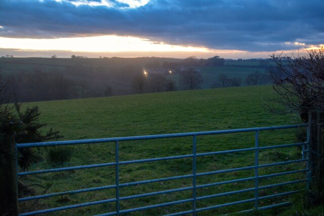
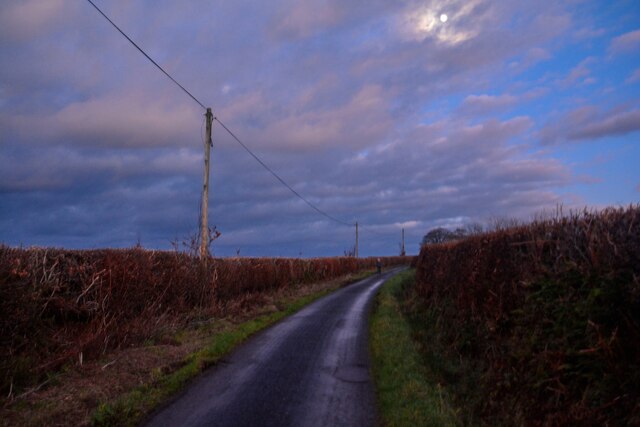
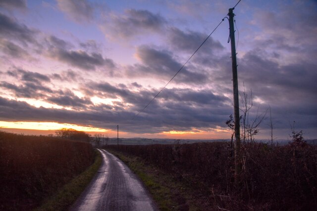
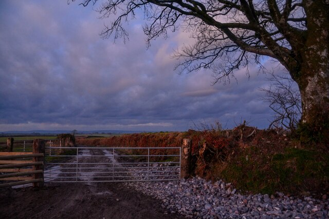
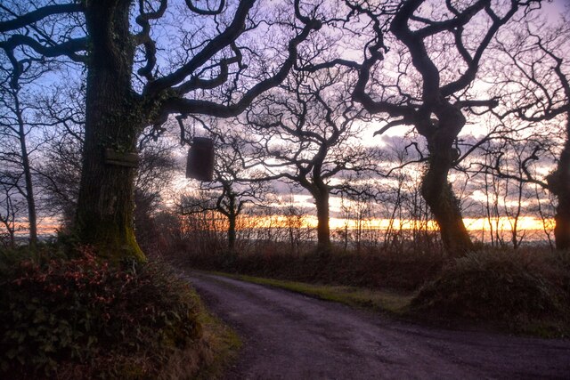
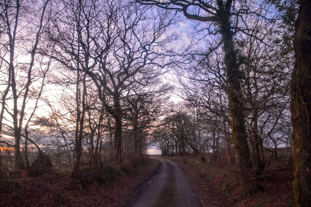
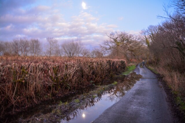
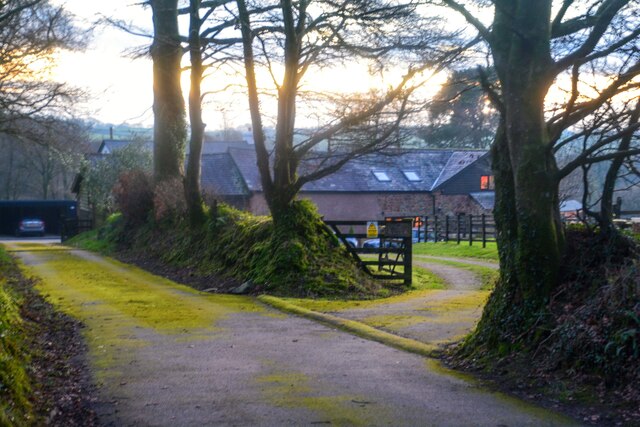
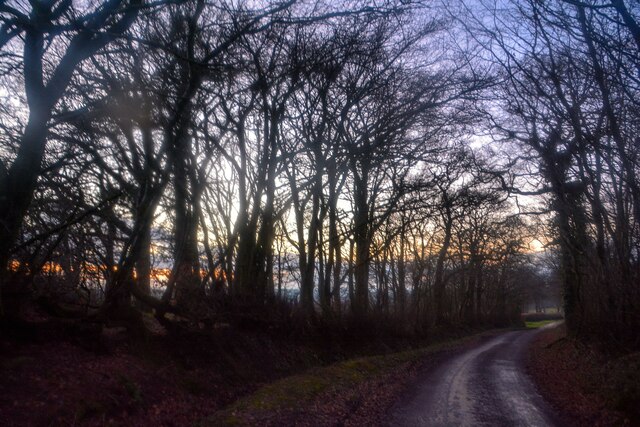
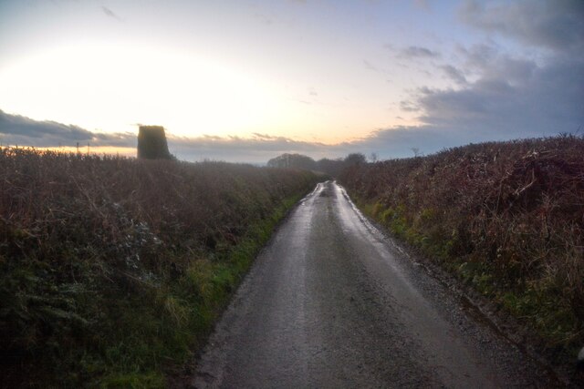
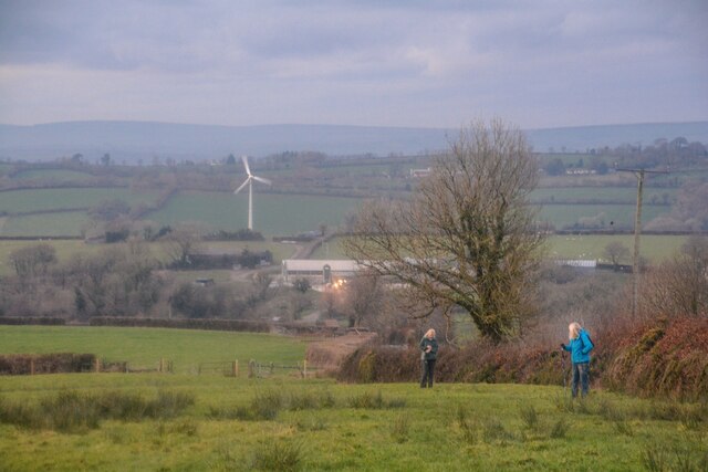
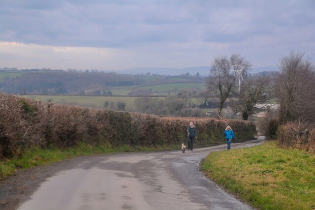
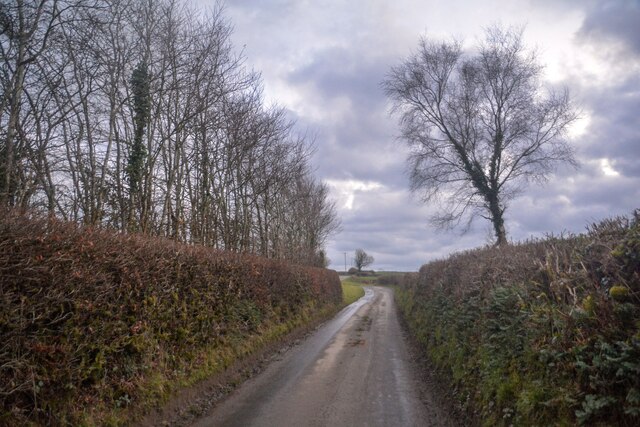
Venhay Down is a prominent hill located in the county of Devon, England. Standing at an elevation of approximately 300 meters above sea level, it offers stunning panoramic views of the surrounding countryside and coastline. The hill is a popular destination for hikers and nature enthusiasts, with a network of footpaths and trails crisscrossing its slopes.

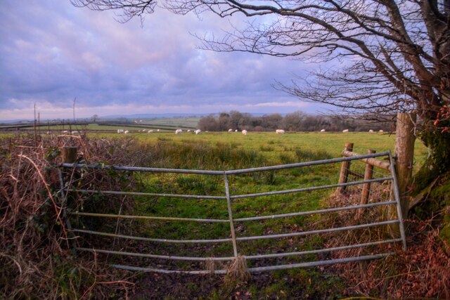
Venhay Down is characterized by its rolling green pastures, scattered with wildflowers and grazing sheep. The hill is also home to a diverse range of wildlife, including birds of prey, rabbits, and various species of insects.

At the summit of Venhay Down, visitors can enjoy breathtaking views of the nearby villages and towns, as well as the English Channel in the distance. On a clear day, it is possible to see as far as the Isle of Portland and even the coast of France.

Overall, Venhay Down is a picturesque and peaceful natural landscape, offering visitors a chance to escape the hustle and bustle of daily life and immerse themselves in the beauty of the Devon countryside.

If you have any feedback on the listing, please let us know in the comments section below.

Venhay Down Images

Images are sourced within 2km of 50.961468/-3.7244282 or Grid Reference SS7819. Thanks to Geograph Open Source API. All images are credited.

Meshaw : Grassy Field & Gate Looking beyond the gate and into the field.
Meshaw : Grassy Field & Gate
Looking beyond the gate and into the field.
Meshaw : Country Lane A small lane heads through the countryside.
Meshaw : Country Lane
A small lane heads through the countryside.
Meshaw : Country Lane A small lane heads through the countryside.
Meshaw : Country Lane
A small lane heads through the countryside.
Meshaw : Track A track heads off from the road.
Meshaw : Track
A track heads off from the road.
Meshaw : Grassy Field & Gate Sheep are in the field.
Meshaw : Grassy Field & Gate
Sheep are in the field.
Meshaw : Track A track heading to Blacklands.
Meshaw : Track
A track heading to Blacklands.
Meshaw : Country Lane A small lane heads through the countryside.
Meshaw : Country Lane
A small lane heads through the countryside.
Meshaw : Country Lane A small lane heads through the countryside.
Meshaw : Country Lane
A small lane heads through the countryside.
Meshaw : East Whitestone Looking towards a house in the countryside.
Meshaw : East Whitestone
Looking towards a house in the countryside.
Rose Ash : Country Lane A small lane heads through the countryside.
Rose Ash : Country Lane
A small lane heads through the countryside.
Rose Ash : Country Lane A trig point can be seen on the left.
Rose Ash : Country Lane
A trig point can be seen on the left.
Rose Ash : Country Lane Near the junction of Harp's Corner Cross.
Rose Ash : Country Lane
Near the junction of Harp's Corner Cross.
Rose Ash : Country Lane A small lane at Harp's Corner Cross beyond the gate.
Rose Ash : Country Lane
A small lane at Harp's Corner Cross beyond the gate.
Rose Ash : Grassy Field A mast in the corner of the field.
Rose Ash : Grassy Field
A mast in the corner of the field.
Rose Ash : Grassy Field Looking across the countryside.
Rose Ash : Grassy Field
Looking across the countryside.
Rose Ash : Country Lane The road heads down the hill.
Rose Ash : Country Lane
The road heads down the hill.
Rose Ash : Country Lane The lane heads up the hill.
Rose Ash : Country Lane
The lane heads up the hill.
Rose Ash : Country Lane Looking along the road.
Rose Ash : Country Lane
Looking along the road.
Show me another place!

Venhay Down is located at Grid Ref: SS7819 (Lat: 50.961468, Lng: -3.7244282)

Administrative County: Devon

District: North Devon

Police Authority: Devon and Cornwall

What 3 Words

///stint.nervy.initiated. Near Witheridge, Devon

Nearby Locations

Burcombe Moor Venhay Down

Related Wikis

Rose Ash

Rose Ash, formerly Ralph-Esse, is a village and civil parish in North Devon district, Devon, England. In the 2011 census it was recorded as having a population...

Creacombe

Creacombe is a small village and former civil parish, now in the parish of Rackenford, in the North Devon district of Devon, England. Its nearest town...

Meshaw

Meshaw is a village and civil parish in the North Devon district of Devon, England. Its nearest town is South Molton, which lies approximately 5.9 miles...

Ash Mill

Ash Mill is a village in Devon, England.Ashmill was the site of Ashwater station on the former L.S.W.R. North Cornwall line which closed in the 1960s....

Nearby Amenities

Located within 500m of 50.961468,-3.7244282
Venhay Cross
Junction: yes
Source: OS OpenData StreetView
Lat/Long: 50.9617994/-3.7205583
Man Made: mast
Tower Construction: lattice
Tower Type: communication
Lat/Long: 50.9620539/-3.7215932
Power: pole
Source: bing
Lat/Long: 50.9614365/-3.7306132
Power: pole
Source: bing
Lat/Long: 50.9614854/-3.7294087
Power: pole
Source: bing
Lat/Long: 50.9615381/-3.7282292
Power: pole
Source: bing
Lat/Long: 50.9615834/-3.7270863
Power: pole
Source: bing
Lat/Long: 50.9641142/-3.7255664
Power: pole
Source: bing
Lat/Long: 50.9632956/-3.7259405
Power: pole
Source: bing
Transformer: distribution
Lat/Long: 50.9648359/-3.7252349
Power: pole
Source: bing
Lat/Long: 50.9616194/-3.726209
Power: pole
Source: bing
Lat/Long: 50.9616564/-3.7253405
Power: pole
Source: bing
Lat/Long: 50.9617026/-3.7242402
Power: pole
Source: bing
Lat/Long: 50.9617506/-3.7231223
Poles: bipole
Power: pole
Source: bing
Transformer: distribution
Lat/Long: 50.9617931/-3.721865
The data included in this document is from www.openstreetmap.org. The data is made available under ODbL.

Have you been to Venhay Down?

Leave your review of Venhay Down below (or comments, questions and feedback).