The Warren
Downs, Moorland in Somerset Somerset West and Taunton
England
The Warren
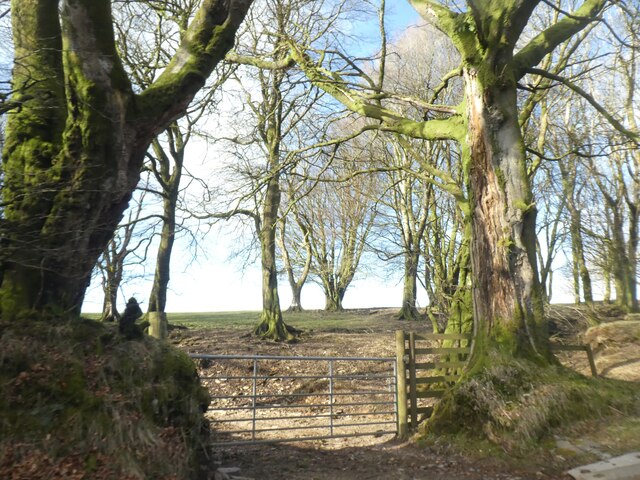
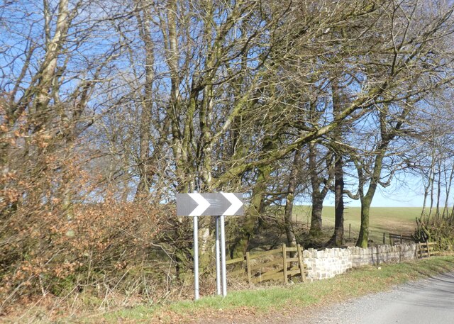
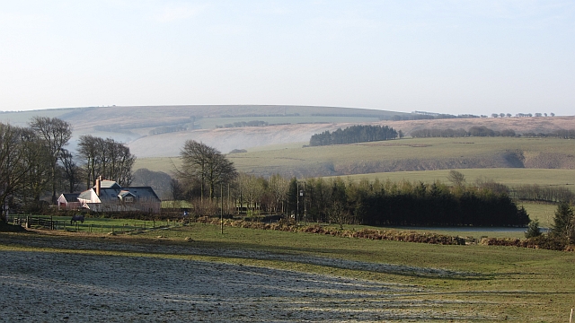
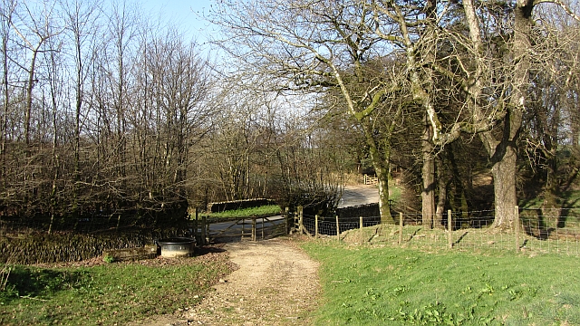
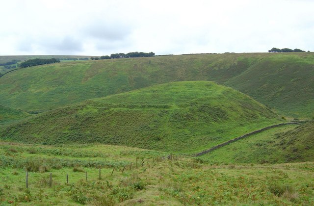
The Warren in Somerset is a picturesque region that encompasses both downs and moorland landscapes. Located in the southwestern part of England, The Warren showcases the natural beauty of the Somerset area. The region is known for its rolling hills, expansive fields, and diverse flora and fauna.
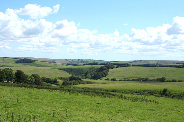
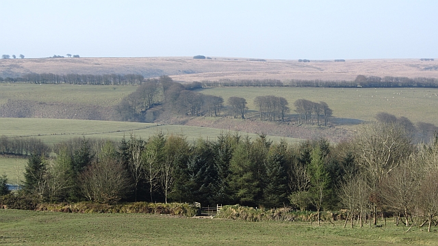
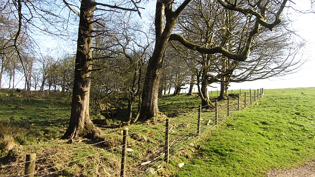
The downs of The Warren are characterized by their gently sloping hills, which provide stunning views of the surrounding countryside. These grassy uplands are home to various species of wildflowers, including harebells and cowslips. The downs also feature ancient burial mounds and earthworks, highlighting the rich history of the area.
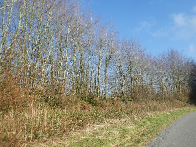
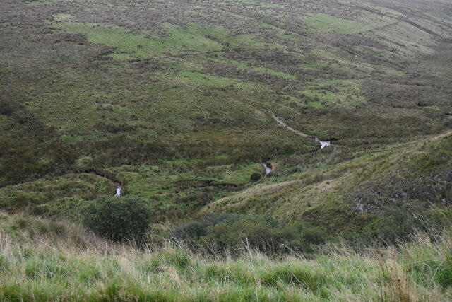
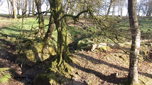
On the other hand, the moorland of The Warren offers a different landscape altogether. This rugged terrain is covered in heather and gorse, creating a vibrant purple and yellow palette during the summer months. The moorland is interspersed with patches of bog, providing a habitat for unique plant species such as sundews and cotton grass.
The Warren is a haven for wildlife enthusiasts, as it is home to numerous species of birds, mammals, and reptiles. Visitors may spot kestrels soaring above the downs, or catch a glimpse of elusive adders basking in the sun on the moorland. Additionally, The Warren is known for its population of Exmoor ponies, which can often be seen grazing in the fields.
Overall, The Warren in Somerset offers a diverse and captivating natural environment, attracting nature lovers and outdoor enthusiasts from near and far. Whether exploring the downs or traversing the moorland, visitors are sure to be enchanted by the beauty and tranquility of this stunning region.
If you have any feedback on the listing, please let us know in the comments section below.
The Warren Images
Images are sourced within 2km of 51.156192/-3.736685 or Grid Reference SS7841. Thanks to Geograph Open Source API. All images are credited.
The Warren is located at Grid Ref: SS7841 (Lat: 51.156192, Lng: -3.736685)
Administrative County: Somerset
District: Somerset West and Taunton
Police Authority: Avon and Somerset
What 3 Words
///flattery.waters.stapled. Near Lynton, Devon
Nearby Locations
Related Wikis

Lanacombe
Lanacombe is an area of Exmoor in Somerset, South West England. It is the site of several standing stones and cairns which have been scheduled as ancient...

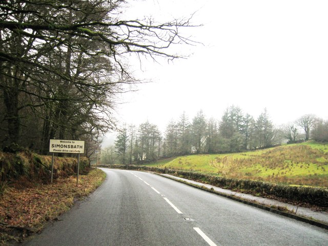
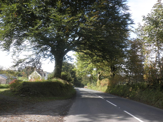
Simonsbath
Simonsbath () is a small village high on Exmoor in the English county of Somerset. It is the principal settlement in the Exmoor civil parish, which is...

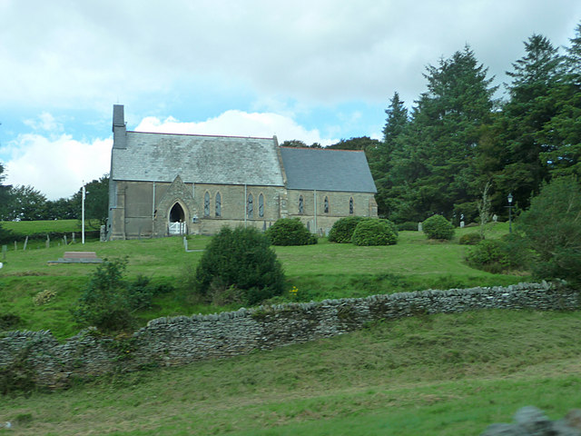
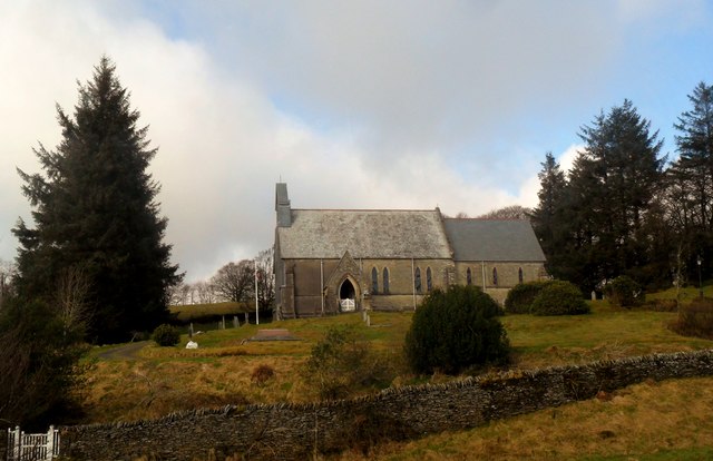
St Luke's Church, Simonsbath
St Luke's Church is a Church of England church in Simonsbath, Exmoor, Somerset, England. The church, which was designed by Henry Clutton and built in 1855...

North Exmoor SSSI
North Exmoor (grid reference SS800430) is a 12,005.3-hectare (29,666-acre) biological Site of Special Scientific Interest (SSSI) in Devon and Somerset...
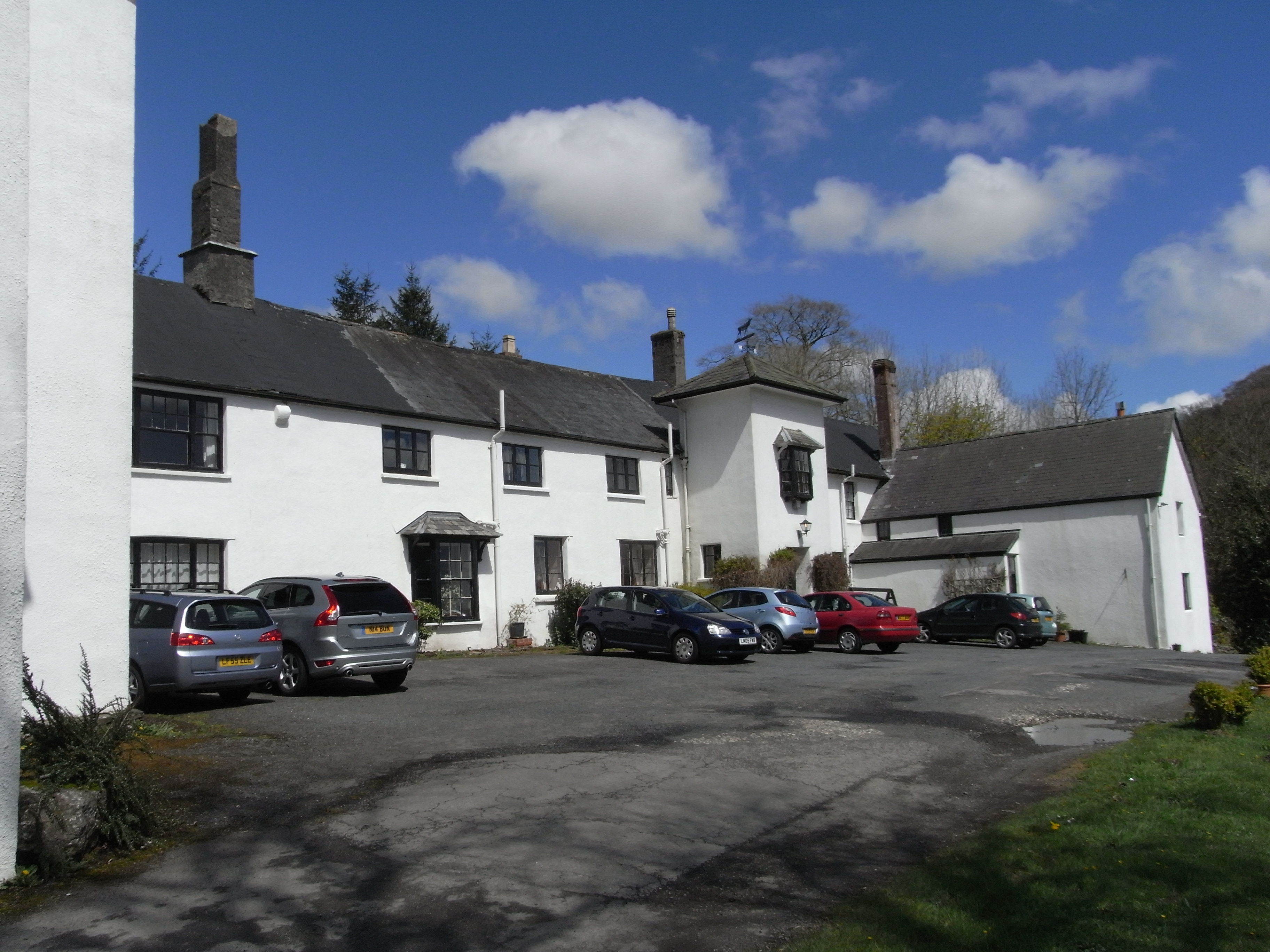
Simonsbath House
Simonsbath House is a historic house in Simonsbath on Exmoor in Somerset, England. The Grade II listed building is now the Simonsbath House Hotel, and...

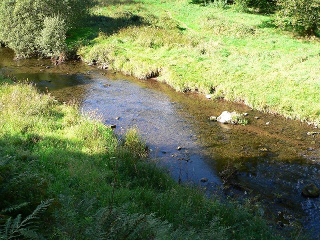
Wheal Eliza Mine
Wheal Eliza Mine was an unsuccessful copper and iron mine on the River Barle near Simonsbath on Exmoor in the English county of Somerset. The first mining...
Cow Castle
Cow Castle is an Iron Age hillfort 5.75 kilometres (4 mi) West South West of Exford, Somerset, England within the Exmoor National Park. It is a Scheduled...

Chains (geological site)
The Chains is the name given to the north-west plateau of Exmoor, Somerset, England. This plateau lies above the 1,500 feet (457 m) contour line, and includes...
Have you been to The Warren?
Leave your review of The Warren below (or comments, questions and feedback).