Great Buscombe

Hill, Mountain in Somerset Somerset West and Taunton

England

Great Buscombe

Gate and winter trees at Clovenrocks Bridge
Gate and winter trees at Clovenrocks Bridge Credit: David Smith

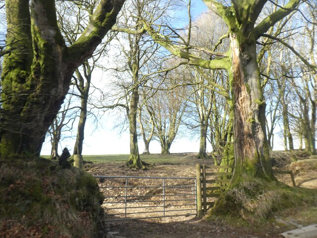
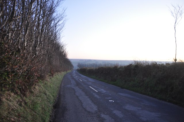
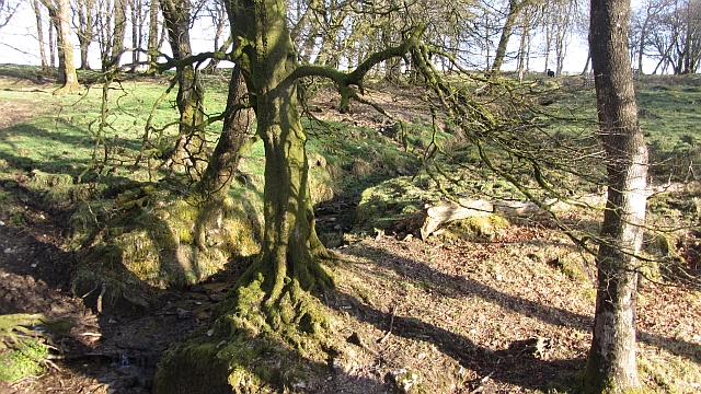
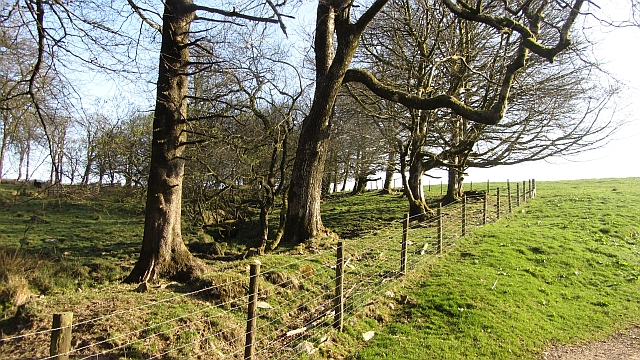
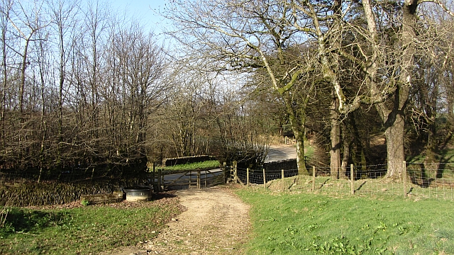
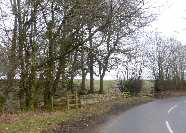
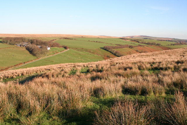
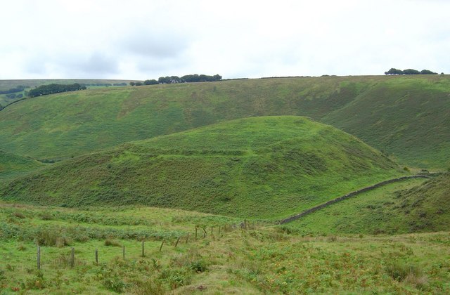
Great Buscombe is a small village located in the county of Somerset, England. Nestled amidst the picturesque countryside, it is situated on a hillside, offering panoramic views of the surrounding landscapes. The village is known for its natural beauty, with rolling hills, lush green meadows, and charming cottages dotting the scenery.

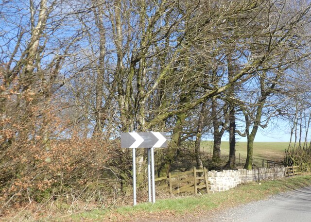
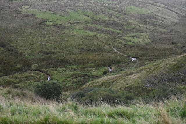
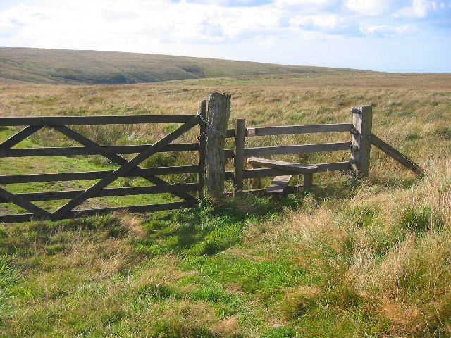
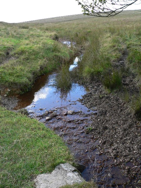
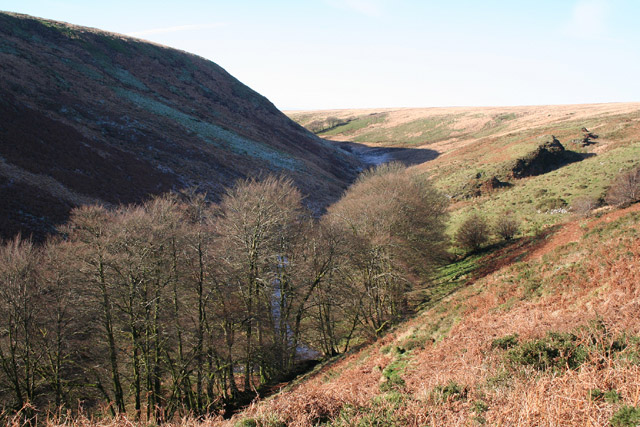
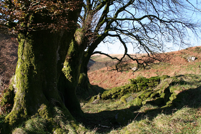
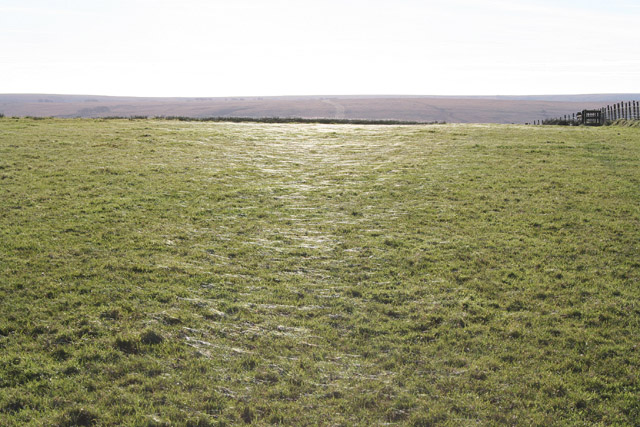
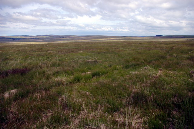
The hill on which Great Buscombe is built is part of the Quantock Hills, a designated Area of Outstanding Natural Beauty. These hills are renowned for their stunning vistas and diverse wildlife, attracting hikers, nature enthusiasts, and photographers alike. Great Buscombe provides an ideal base for exploring this stunning region.

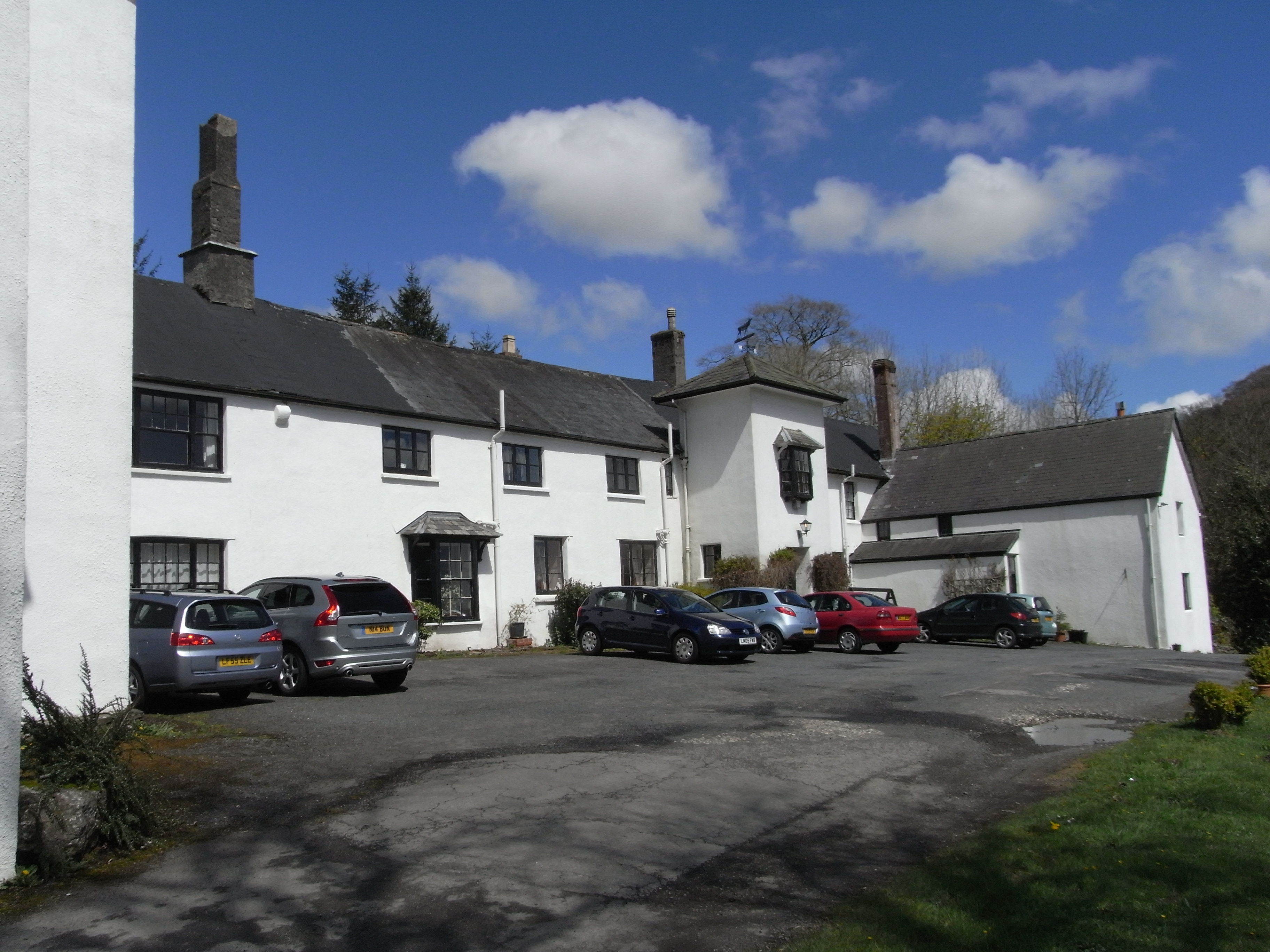
The village itself is quaint and tranquil, exuding a traditional English countryside charm. It boasts a small church, St. Mary’s, which dates back several centuries and is a testament to the village’s rich history. The local community is close-knit and friendly, creating a warm and welcoming atmosphere for visitors.

Outdoor activities are abundant in Great Buscombe and its surrounding areas. The Quantock Hills offer numerous walking trails, ranging from leisurely strolls to more challenging hikes. Mountain biking, horse riding, and bird-watching are also popular pastimes in this area.

For those seeking a peaceful retreat away from the hustle and bustle of city life, Great Buscombe provides a serene and idyllic setting. Its natural beauty, coupled with its historic charm and range of outdoor activities, make it a hidden gem in the heart of Somerset.

If you have any feedback on the listing, please let us know in the comments section below.

Great Buscombe Images

Images are sourced within 2km of 51.161321/-3.7455445 or Grid Reference SS7841. Thanks to Geograph Open Source API. All images are credited.

Gate and winter trees at Clovenrocks Bridge
Clovenrocks Bridge
Clovenrocks Bridge
Looking down into valley below Prayway Head
Exmoor : The B3223 Looking along the B3223 which heads back down to Simonsbath.
Exmoor : The B3223
Looking along the B3223 which heads back down to Simonsbath.
Woodland by Clovenrocks Bridge A small woodland surrounds the White Water, one of the upper headwaters of the River Barle.
Woodland by Clovenrocks Bridge
A small woodland surrounds the White Water, one of the upper headwaters of the River Barle.
Woodland, Clovenrocks Bridge The edge of a small wood, the field was wet underfoot.
Woodland, Clovenrocks Bridge
The edge of a small wood, the field was wet underfoot.
Clovenrocks Bridge On the B3223 near Simonsbath.
Clovenrocks Bridge
On the B3223 near Simonsbath.
Clovenrocks Bridge on B3223
Stile near Exe Plain Stile is just off B3223 on the West side
Stile near Exe Plain
Stile is just off B3223 on the West side
A Very Youthful River Exe Next to the B3223 and just a couple of kilometres from its source at Exehead.
A Very Youthful River Exe
Next to the B3223 and just a couple of kilometres from its source at Exehead.
Exmoor: Warren Farm Looking across the Exe valley from the access lane at the top of Three Combe Hill. Warren Farm was one of the estates established by John Knight and his son Frederic in the mid nineteenth century. It now offers bed and breakfast
Exmoor: Warren Farm
Looking across the Exe valley from the access lane at the top of Three Combe Hill. Warren Farm was one of the estates established by John Knight and his son Frederic in the mid nineteenth century. It now offers bed and breakfast
Exmoor: The Exe valley near Warren Bridge Seen from the public footpath overlooking the river
Exmoor: The Exe valley near Warren Bridge
Seen from the public footpath overlooking the river
Exmoor: near Warren Bridge Beech trees and an old wall, looking north west
Exmoor: near Warren Bridge
Beech trees and an old wall, looking north west
Exmoor: above Three Combe Hill Looking north east across the Exe valley towards Warren Farm. The line of trees running east from the farm on the far side of the valley probably corresponds with the formation of the projected Simonsbath - Porlock Weir Railway planned by John Knight in 1826 but never completed
Exmoor: above Three Combe Hill
Looking north east across the Exe valley towards Warren Farm. The line of trees running east from the farm on the far side of the valley probably corresponds with the formation of the projected Simonsbath - Porlock Weir Railway planned by John Knight in 1826 but never completed
Exmoor: field near Little Ashcombe The grass has been worked over by possibly millions of spiders. The distant hills stand beyond the Barle valley. Looking south
Exmoor: field near Little Ashcombe
The grass has been worked over by possibly millions of spiders. The distant hills stand beyond the Barle valley. Looking south
Hoccombe Water, Exmoor Looking south west, at the confluence of the main water and (Lanacombe?) stream
Hoccombe Water, Exmoor
Looking south west, at the confluence of the main water and (Lanacombe?) stream
Open Spaces I believe the group of trees on the horizon to be at SS818413, approximately 3 miles away.
Open Spaces
I believe the group of trees on the horizon to be at SS818413, approximately 3 miles away.
Open Spaces 2 Pan left from previous picture with 25% overlap.
Open Spaces 2
Pan left from previous picture with 25% overlap.
Show me another place!

Great Buscombe is located at Grid Ref: SS7841 (Lat: 51.161321, Lng: -3.7455445)

Administrative County: Somerset

District: Somerset West and Taunton

Police Authority: Avon and Somerset

What 3 Words

///showcases.rigid.riverbed. Near Lynton, Devon

Nearby Locations

The Warren Great Buscombe

Related Wikis

Lanacombe

Lanacombe is an area of Exmoor in Somerset, South West England. It is the site of several standing stones and cairns which have been scheduled as ancient...

Simonsbath

Simonsbath () is a small village high on Exmoor in the English county of Somerset. It is the principal settlement in the Exmoor civil parish, which is...

St Luke's Church, Simonsbath

St Luke's Church is a Church of England church in Simonsbath, Exmoor, Somerset, England. The church, which was designed by Henry Clutton and built in 1855...

North Exmoor SSSI

North Exmoor (grid reference SS800430) is a 12,005.3-hectare (29,666-acre) biological Site of Special Scientific Interest (SSSI) in Devon and Somerset...

Simonsbath House

Simonsbath House is a historic house in Simonsbath on Exmoor in Somerset, England. The Grade II listed building is now the Simonsbath House Hotel, and...

Wheal Eliza Mine

Wheal Eliza Mine was an unsuccessful copper and iron mine on the River Barle near Simonsbath on Exmoor in the English county of Somerset. The first mining...

Chains (geological site)

The Chains is the name given to the north-west plateau of Exmoor, Somerset, England. This plateau lies above the 1,500 feet (457 m) contour line, and includes...

Cow Castle

Cow Castle is an Iron Age hillfort 5.75 kilometres (4 mi) West South West of Exford, Somerset, England within the Exmoor National Park. It is a Scheduled...

Have you been to Great Buscombe?

Leave your review of Great Buscombe below (or comments, questions and feedback).