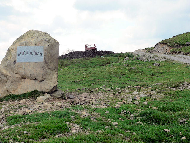
Shillingland Moor
Downs, Moorland in Dumfriesshire
Scotland
Shillingland Moor

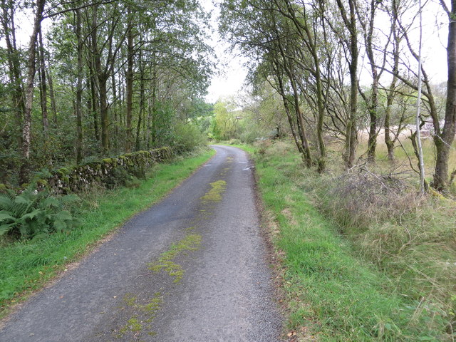
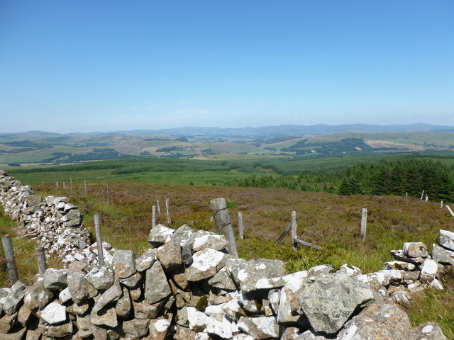
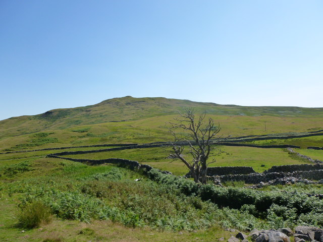
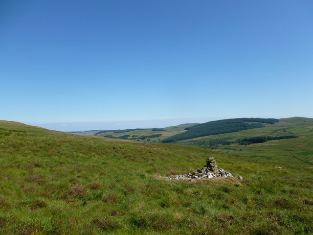
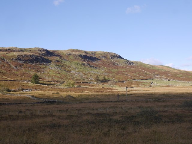
Shillingland Moor is a picturesque nature reserve located in Dumfriesshire, Scotland. Covering an area of approximately 300 hectares, it is characterized by its vast expanse of rolling downs and moorland. The moor is situated in a remote and tranquil setting, making it a haven for nature enthusiasts and wildlife lovers.
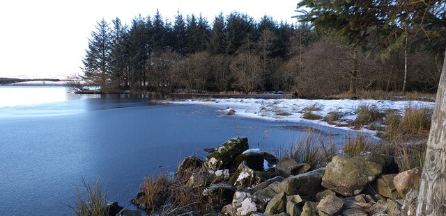
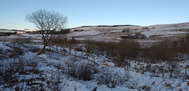
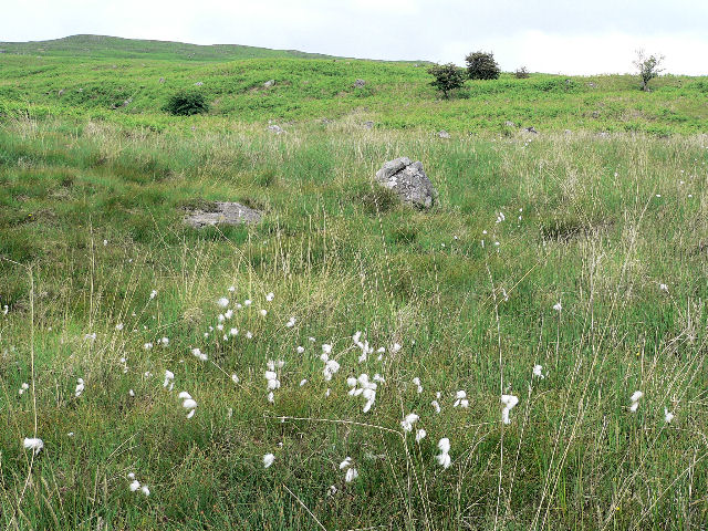
The landscape of Shillingland Moor is diverse and varied, ranging from heather-covered slopes to open grasslands. The terrain is gently undulating, providing visitors with breathtaking views of the surrounding countryside. Its unique combination of wet and dry habitats supports a rich array of flora and fauna.
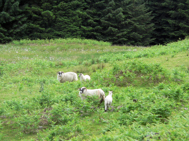
The moorland is home to numerous species of birds, including the iconic red grouse, curlew, and lapwing. The heather-clad slopes attract a variety of insects, such as butterflies and bees. Rare plants like bog rosemary and cotton grass can also be found in the wetter areas of the reserve.
Visitors to Shillingland Moor can explore its well-maintained footpaths and enjoy peaceful walks amidst the natural beauty. The reserve offers a tranquil escape from the hustle and bustle of everyday life, providing a chance to immerse oneself in the serenity of the Scottish countryside.
Managed by the local conservation authority, Shillingland Moor is an important site for the preservation and protection of natural habitats. It serves as a valuable educational resource, providing opportunities for research and environmental studies.
In conclusion, Shillingland Moor is a stunning nature reserve in Dumfriesshire, offering visitors the chance to experience the beauty and tranquility of a Scottish moorland. With its diverse range of habitats and abundant wildlife, it is a must-visit destination for nature enthusiasts and those seeking a peaceful retreat.
If you have any feedback on the listing, please let us know in the comments section below.
Shillingland Moor Images
Images are sourced within 2km of 55.14783/-3.9121349 or Grid Reference NX7885. Thanks to Geograph Open Source API. All images are credited.
![Shillingsland A roofless ruin at the time this photograph was taken, the building has subsequently been renovated [<a title="https://www.geograph.org.uk/photo/486178" href="https://www.geograph.org.uk/photo/486178">Link</a>].](https://s1.geograph.org.uk/geophotos/05/04/57/5045781_60cd9577.jpg)
![Shillingland A roofless ruin at the time this photograph was taken, the building has subsequently been renovated [<a title="https://www.geograph.org.uk/photo/486178" href="https://www.geograph.org.uk/photo/486178">Link</a>].](https://s2.geograph.org.uk/geophotos/05/04/57/5045798_9171ae7d.jpg)


Shillingland Moor is located at Grid Ref: NX7885 (Lat: 55.14783, Lng: -3.9121349)
Unitary Authority: Dumfries and Galloway
Police Authority: Dumfries and Galloway
What 3 Words
///livid.cashiers.trembles. Near Thornhill, Dumfries & Galloway
Nearby Locations
Related Wikis

Craigenputtock
Craigenputtock (usually spelled by the Carlyles as Craigenputtoch) is an estate in Scotland where Thomas Carlyle lived from 1828 to 1834. He wrote several...

Kirkland railway station
Kirkland railway station (NX810897) was one of the minor stations on the Cairn Valley Light Railway branch, from Dumfries. It served the rural area around...

Moniaive railway station
Moniaive railway station is the closed station terminus of the Cairn Valley Light Railway (CVR) branch, from Dumfries. It served the rural area of Moniaive...

Dumfries and Galloway
Dumfries and Galloway (Scots: Dumfries an Gallowa; Scottish Gaelic: Dùn Phrìs is Gall-Ghaidhealaibh) is one of the 32 unitary council areas of Scotland...

Crawfordton House
Crawfordton House is a category B listed 19th-century country house, situated close to Moniaive in Dumfriesshire, Scotland. It was operated as Crawfordton...
Cademuir International School
Cademuir International School was a specialist school at Moniaive in Dumfries and Galloway, Scotland. The school, founded by Robert Mulvey in 1990, was...

Moniaive
Moniaive ( 'monny-IVE'; Scottish Gaelic: Am Moine Naomh, "The Holy Moor") is a village in the Parish of Glencairn, in Dumfries and Galloway, southwest...

Glencairn, Dumfries and Galloway
Glencairn is an ecclesiastical and civil parish in Dumfries and Galloway, Scotland. == Location == According to John Bartholomew's 1887 Gazetteer of the...
Have you been to Shillingland Moor?
Leave your review of Shillingland Moor below (or comments, questions and feedback).